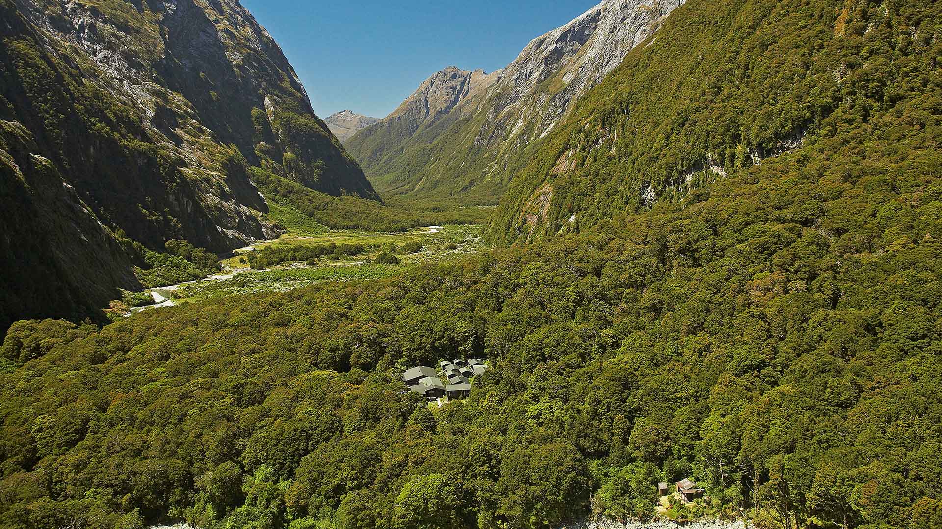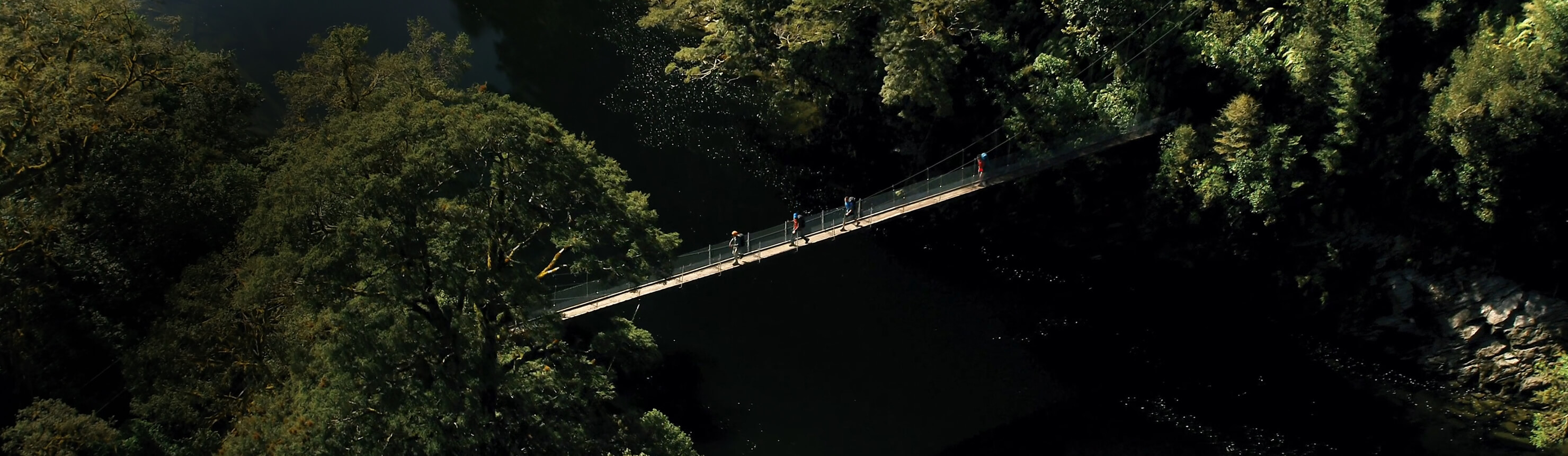
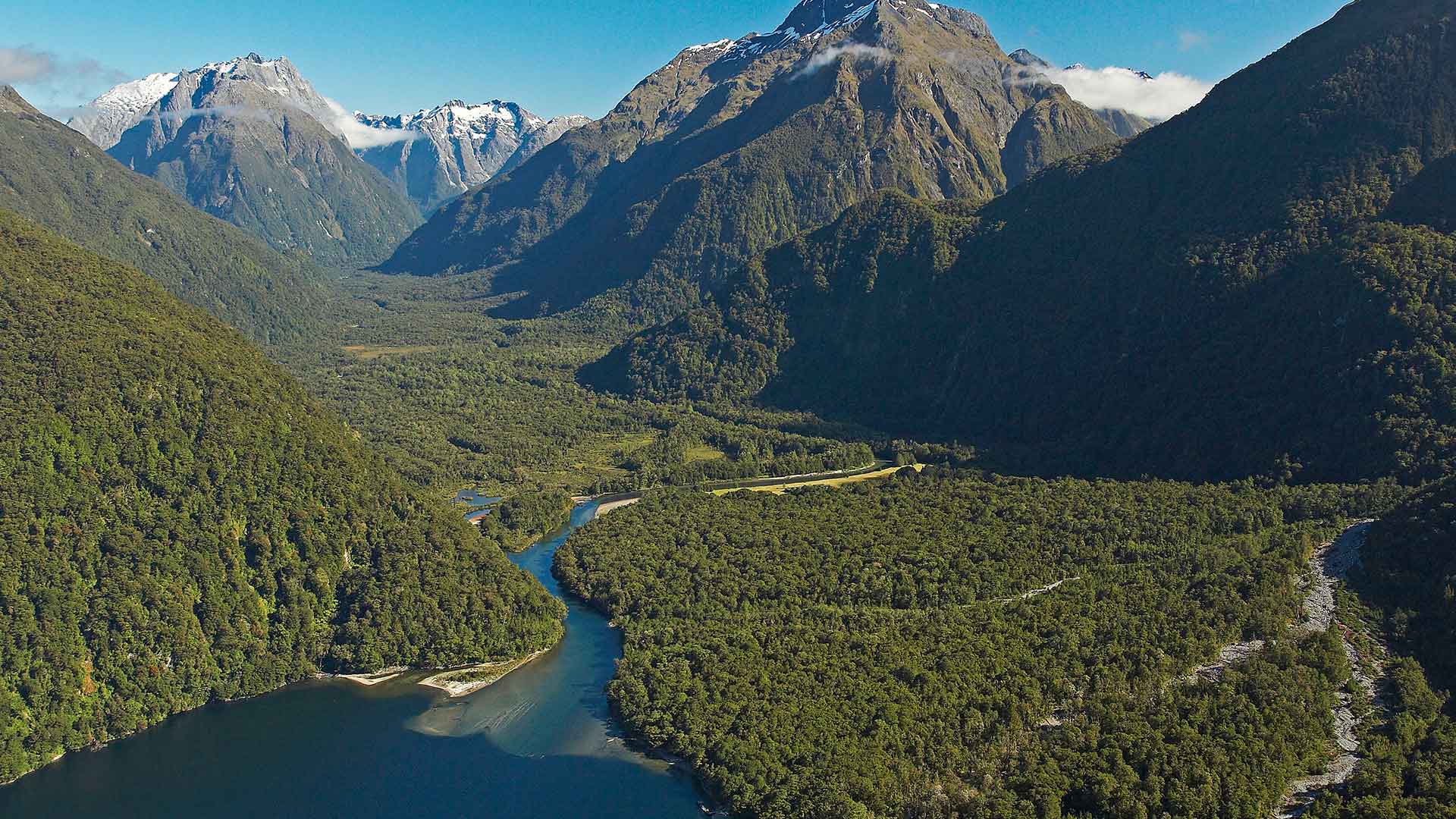
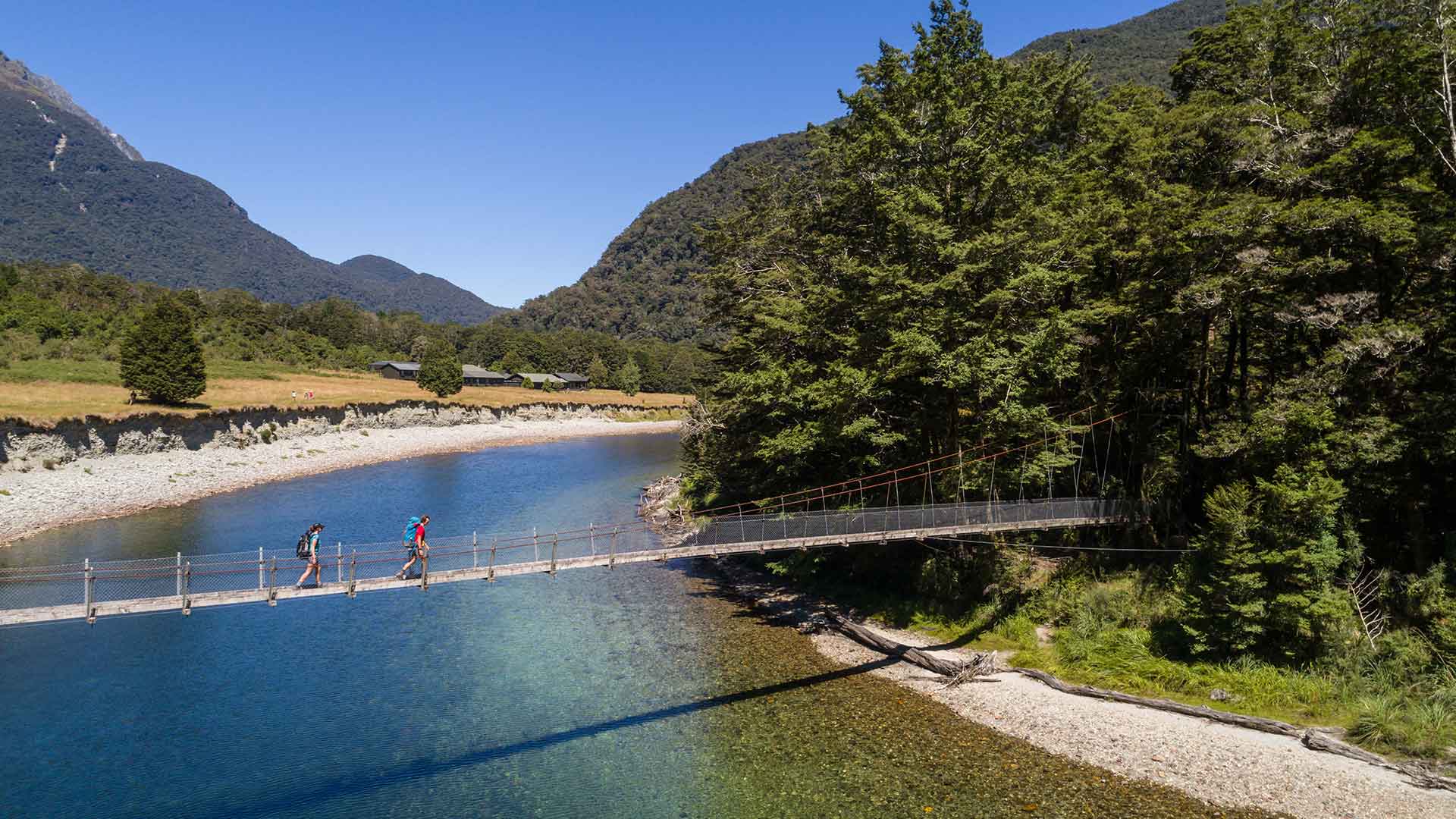
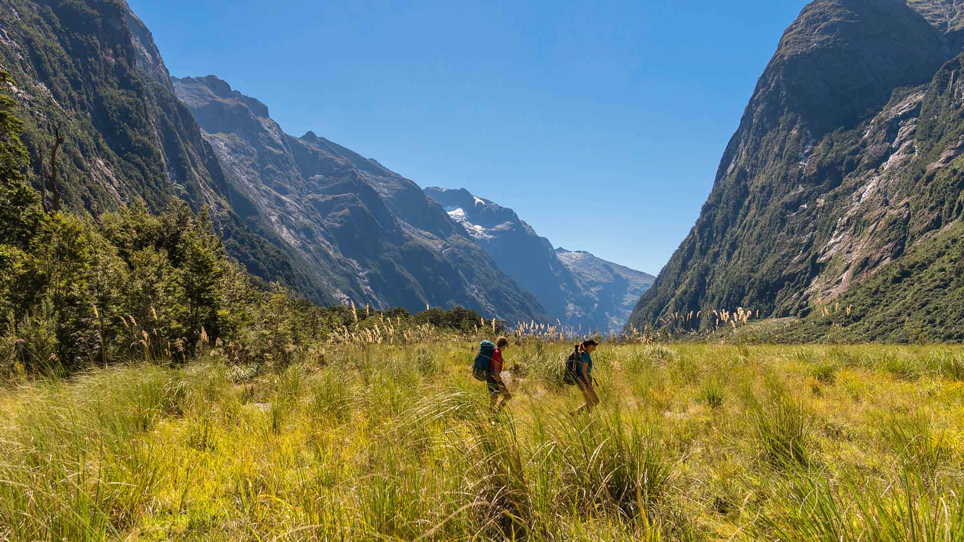
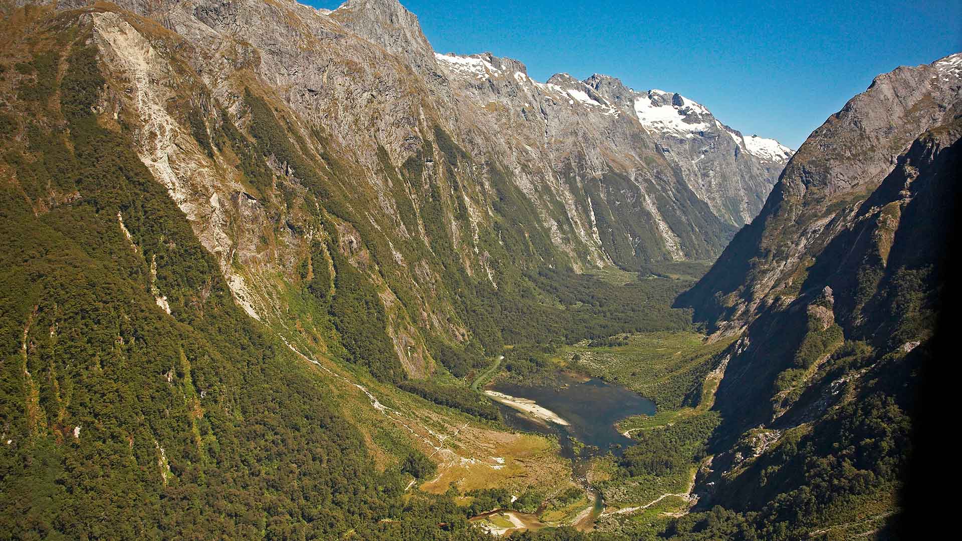
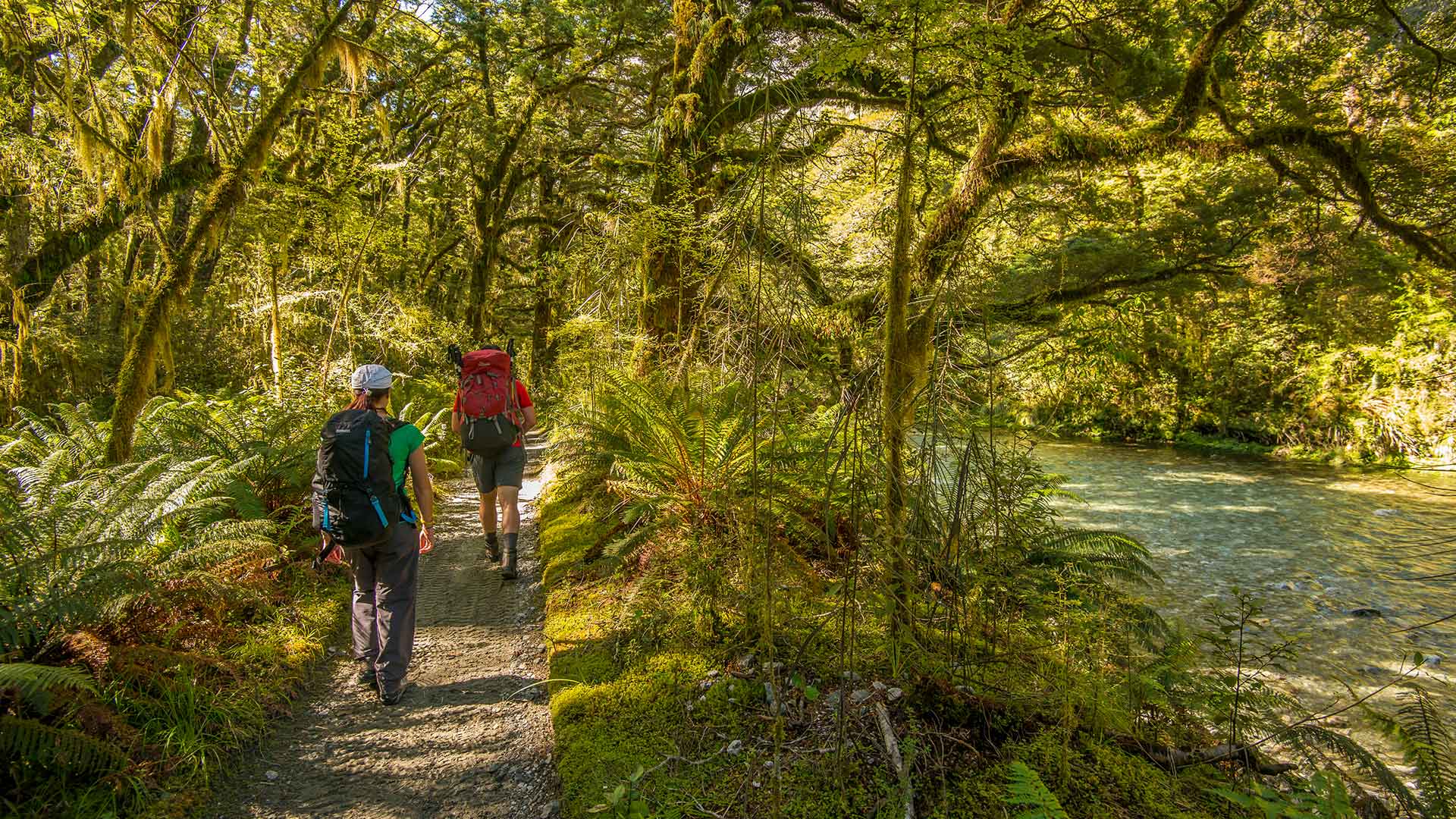
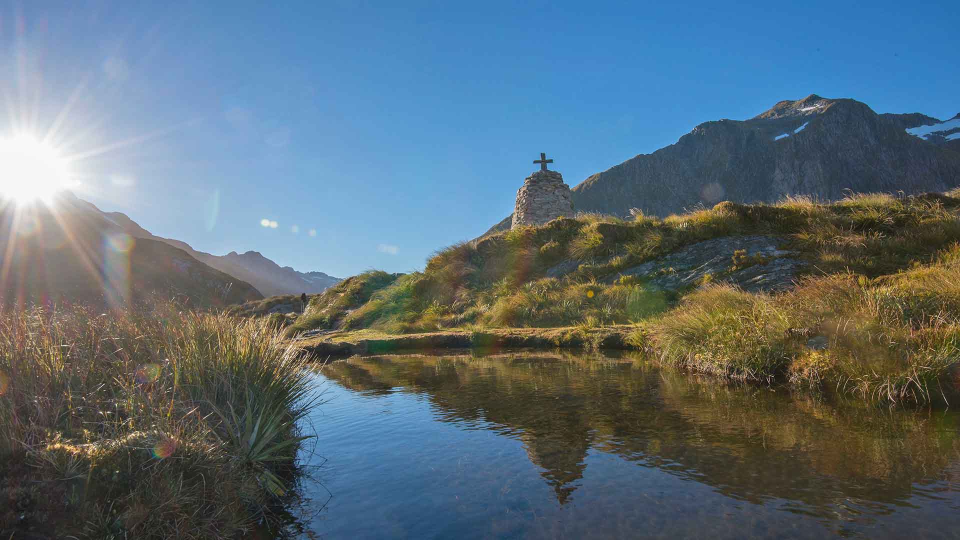
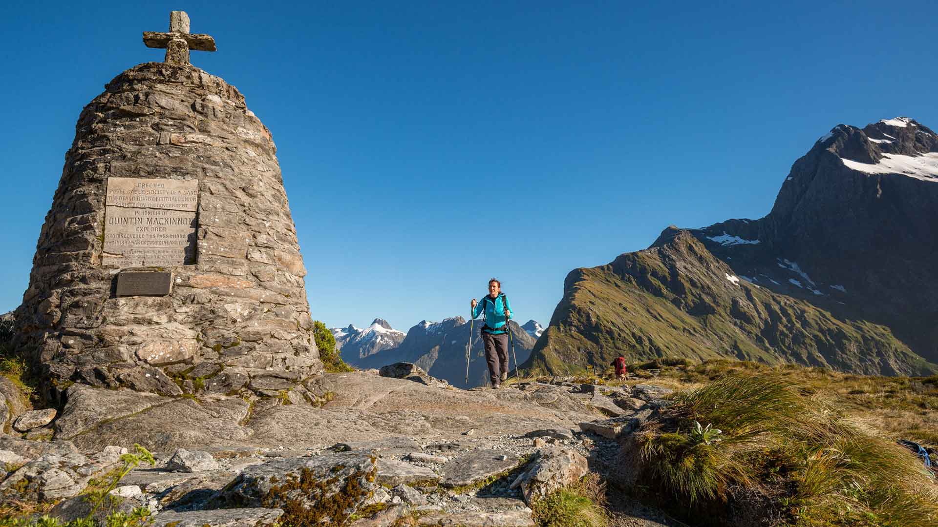
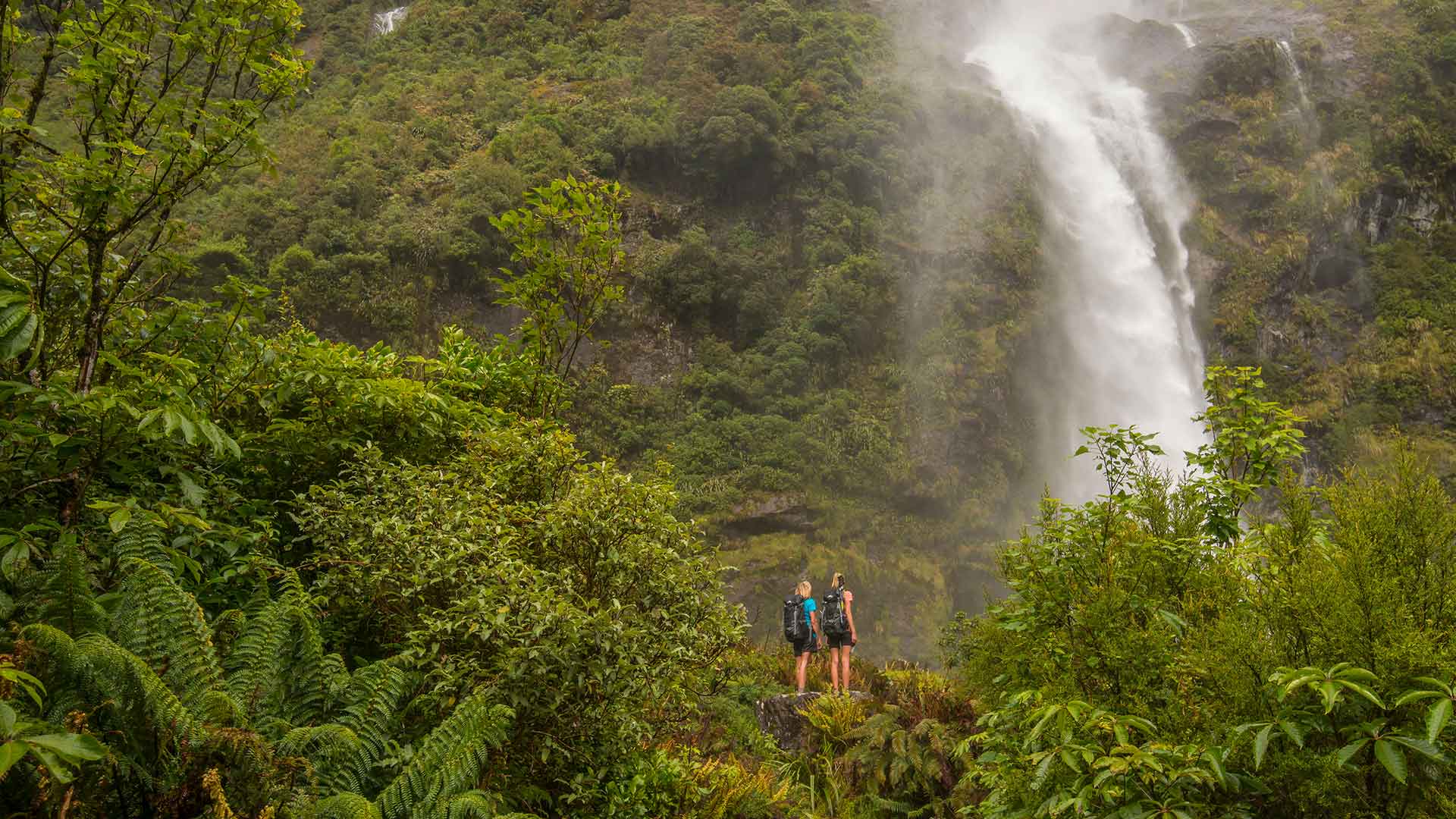
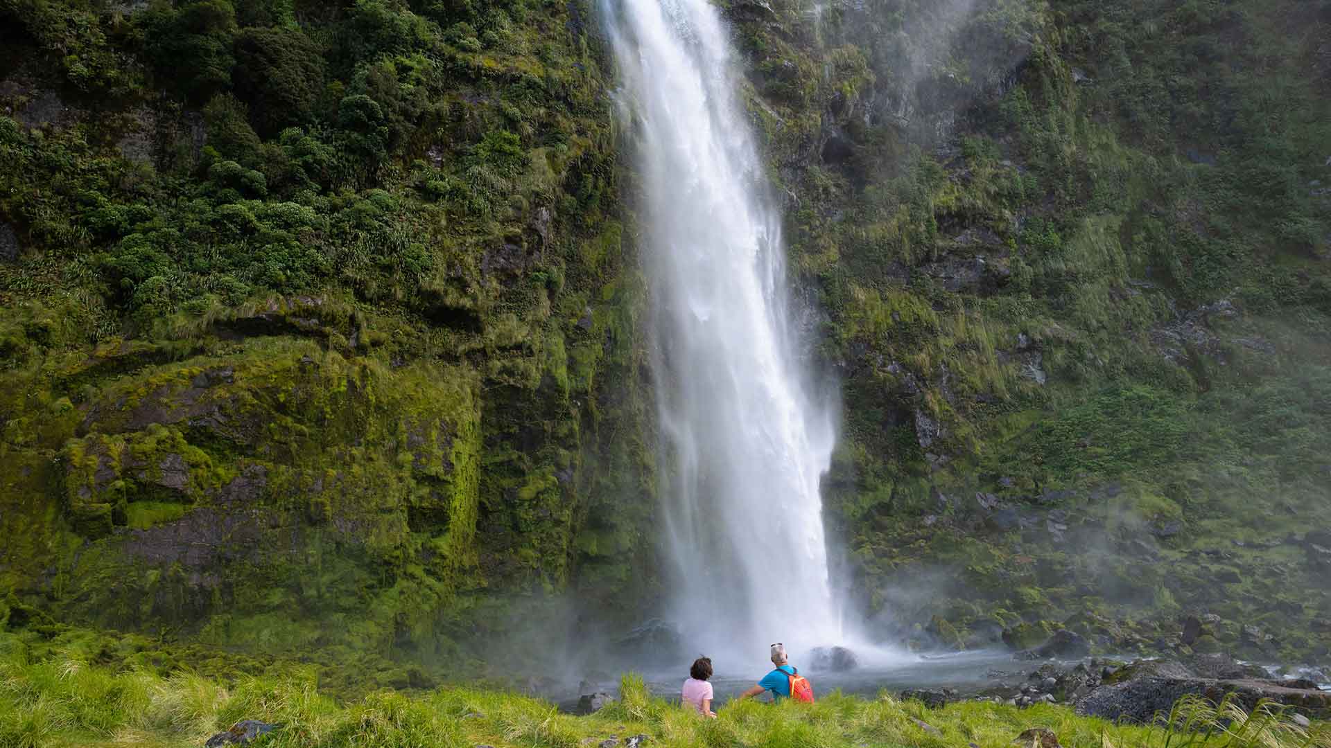
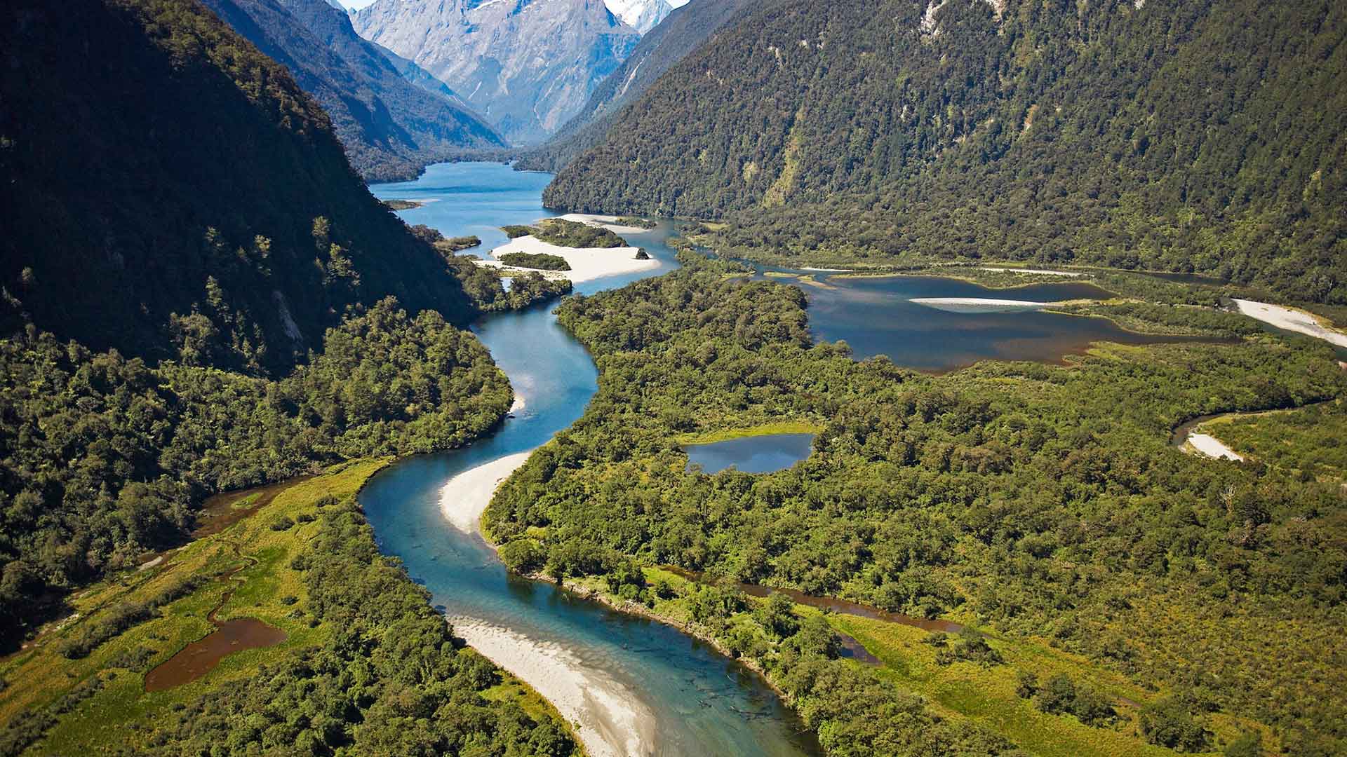
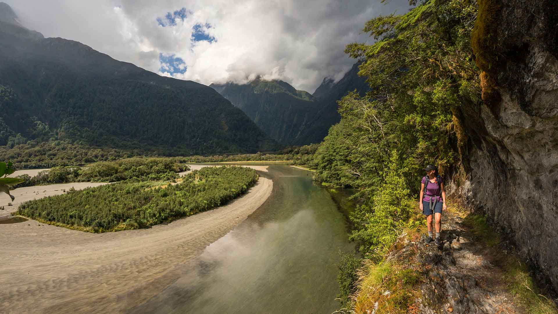
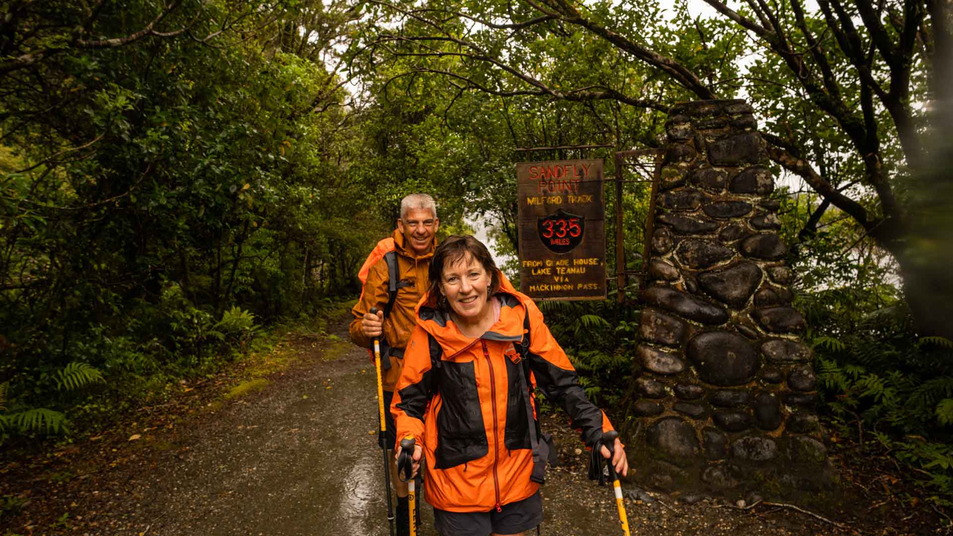
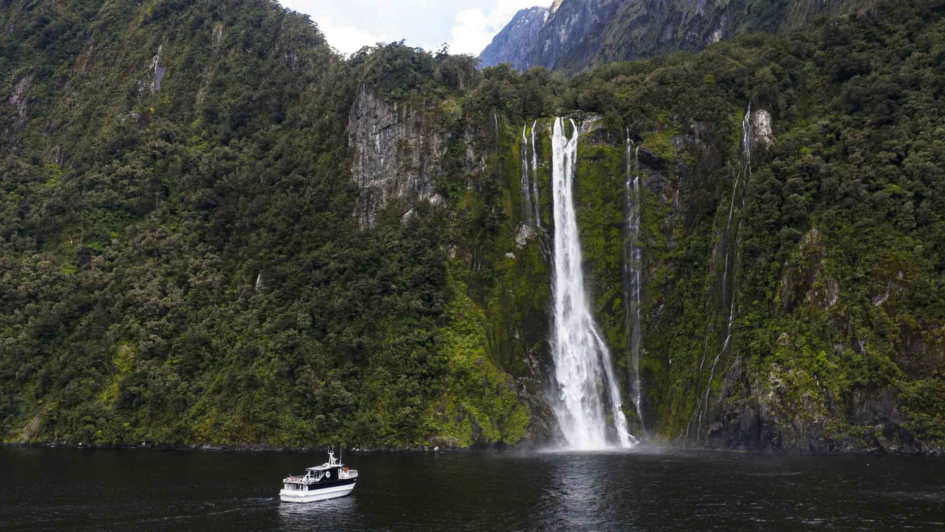
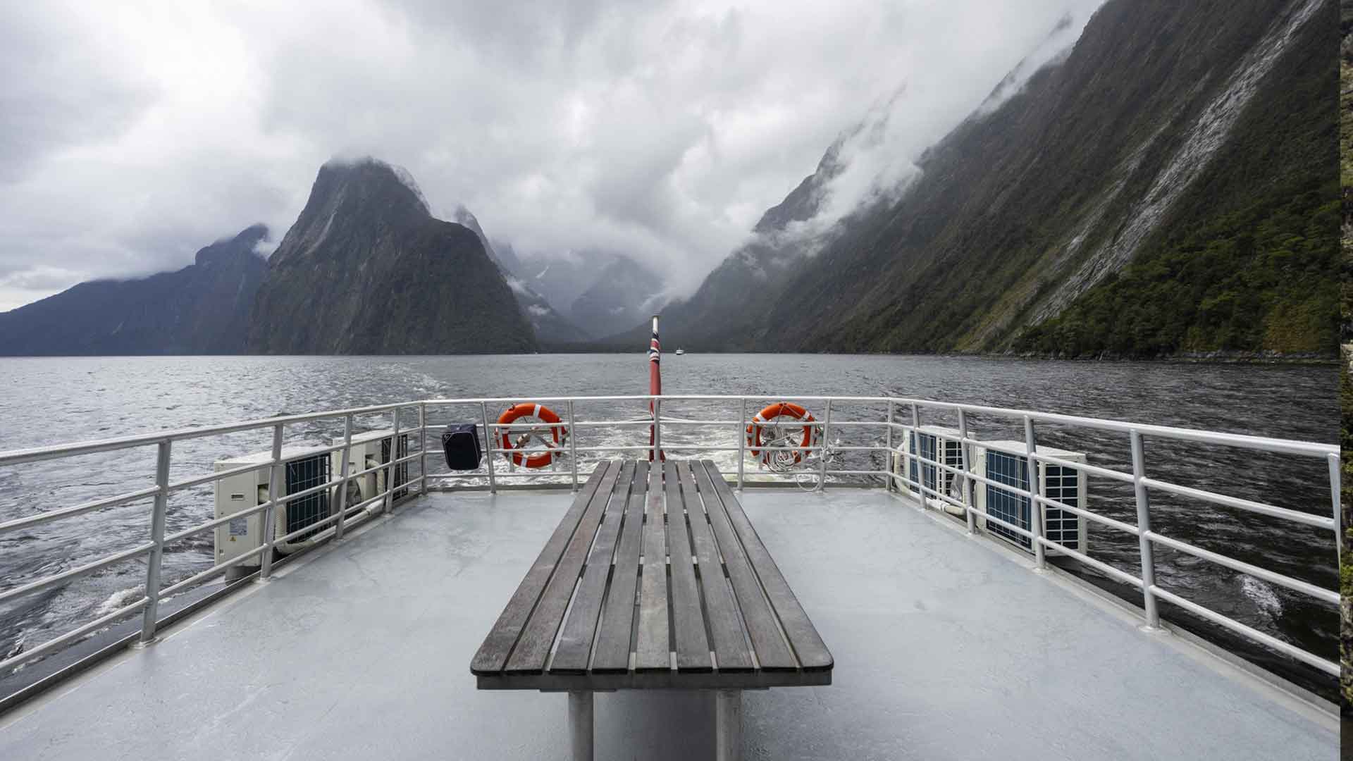
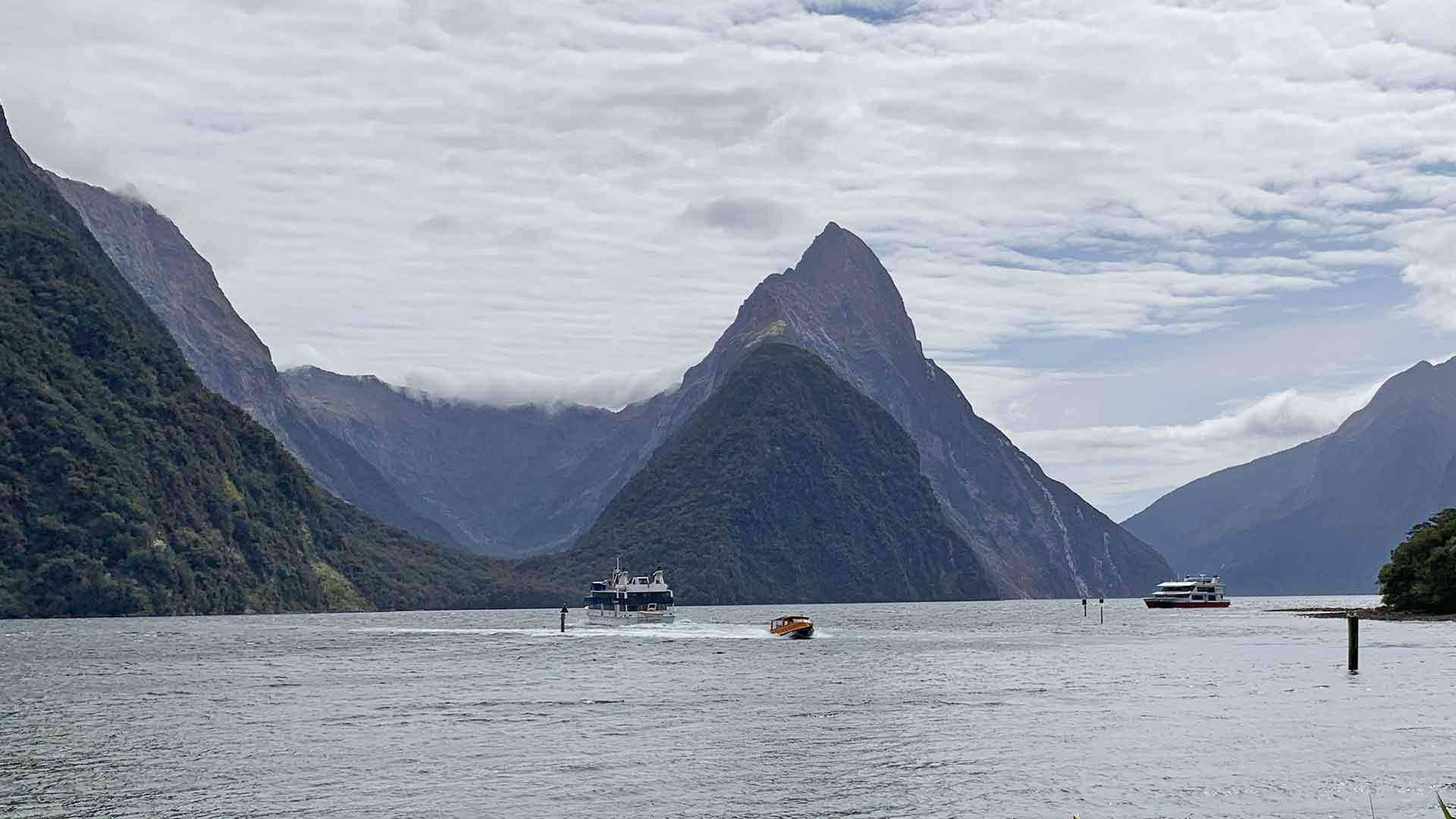
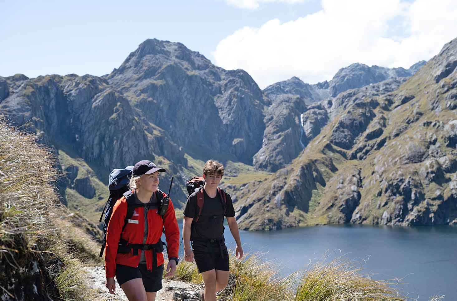
The Milford Track is often called the finest walk in the world, and with good reason. Winding 53km through the heart of Fiordland National Park, it takes you from the still waters of Lake Te Anau to the breathtaking beauty of Milford Sound.
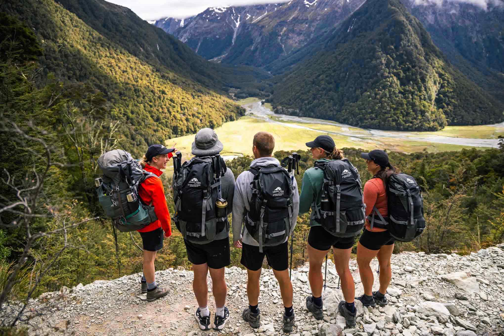
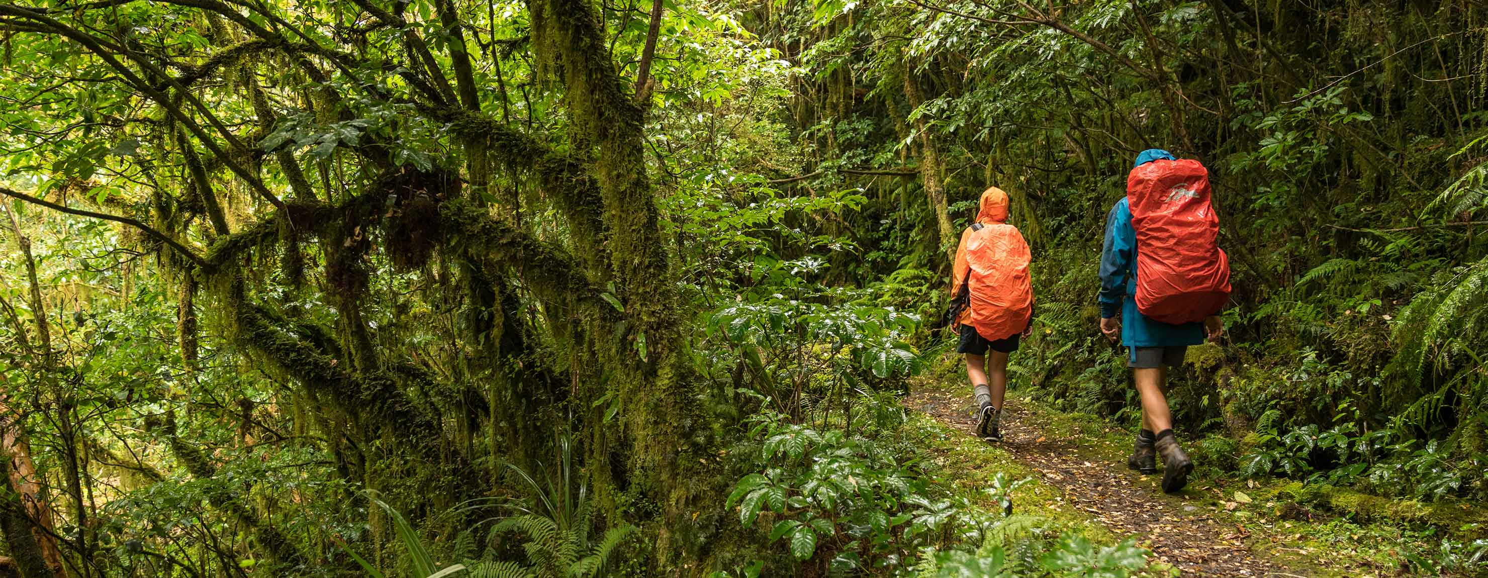
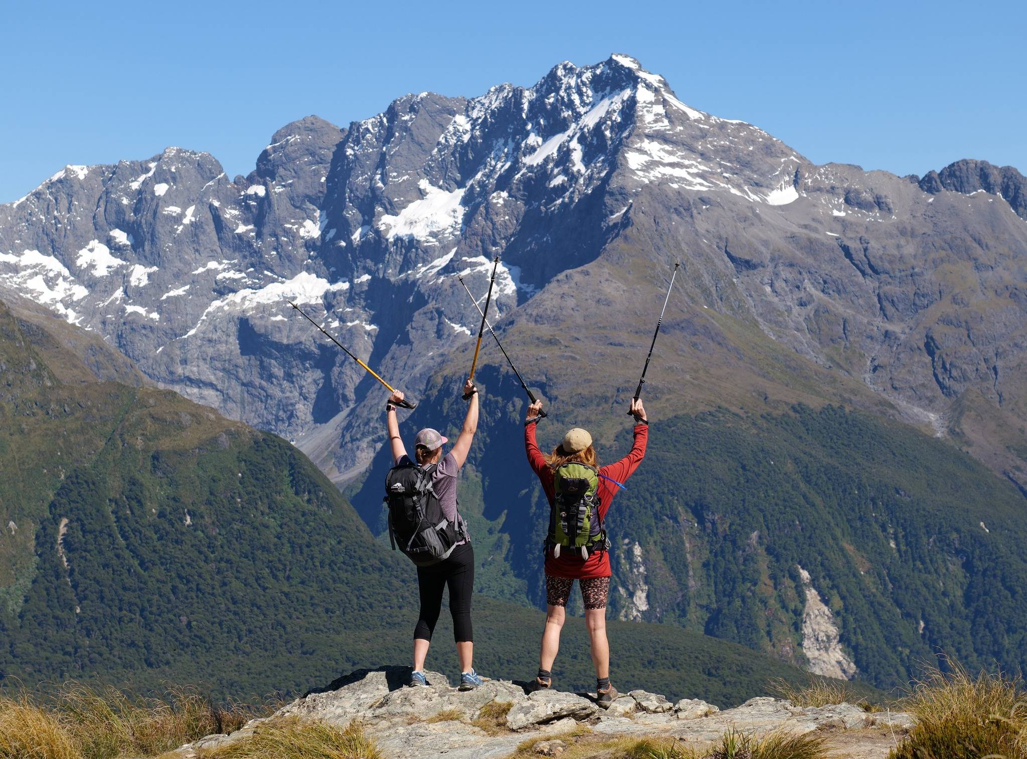
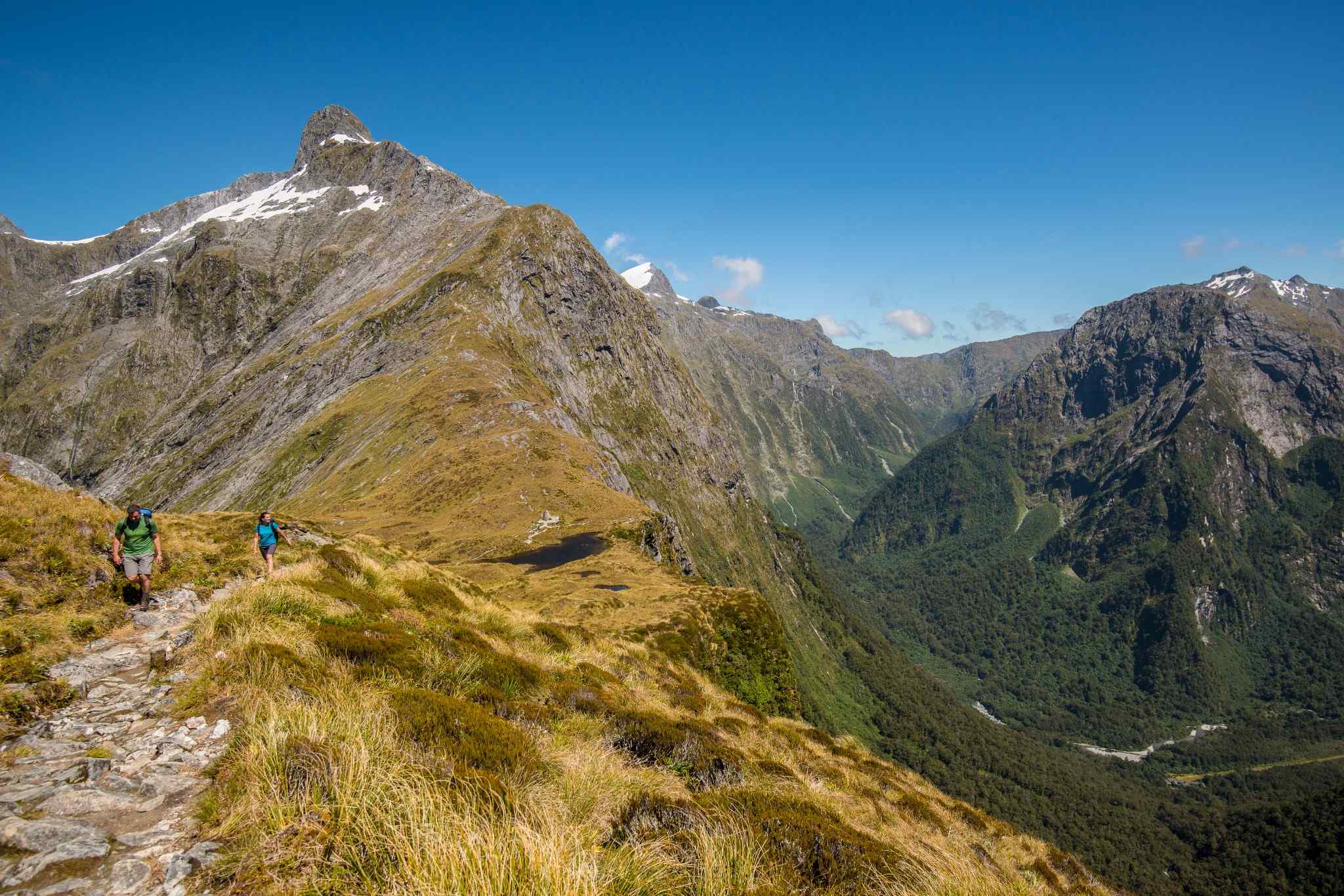
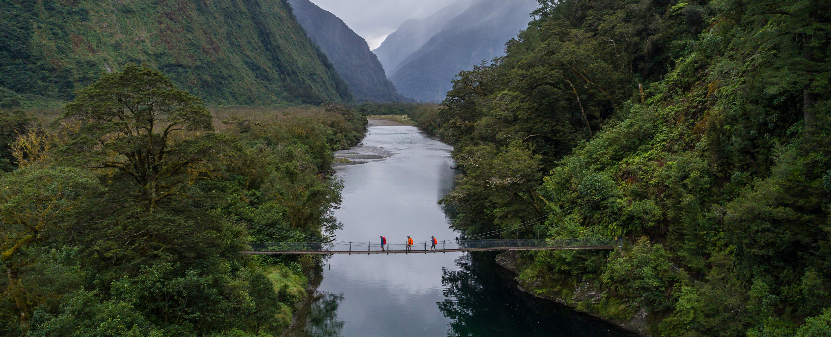
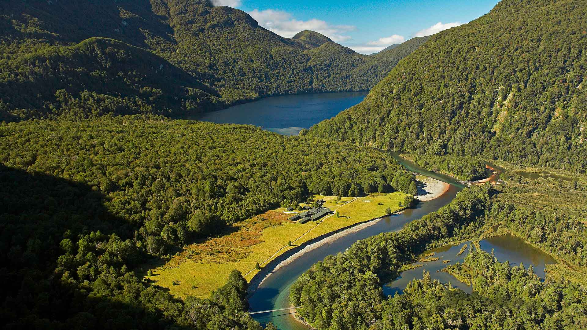
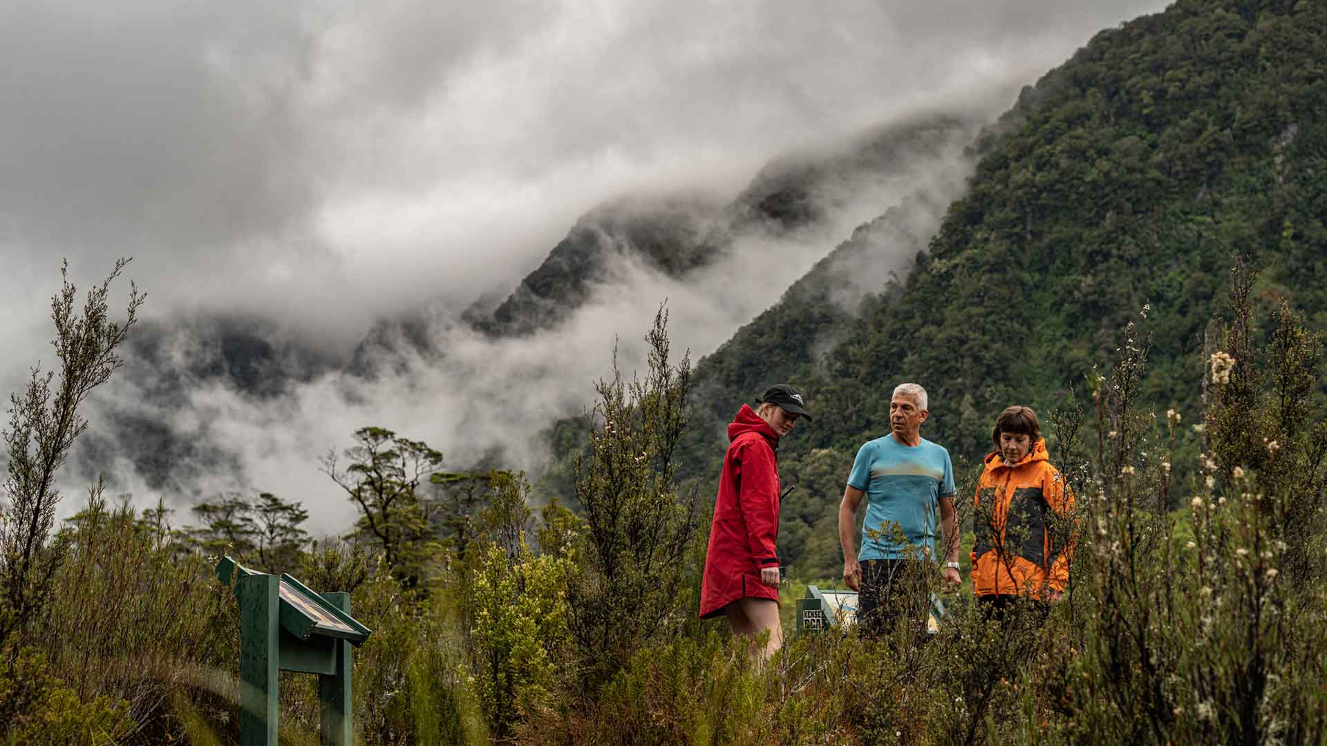
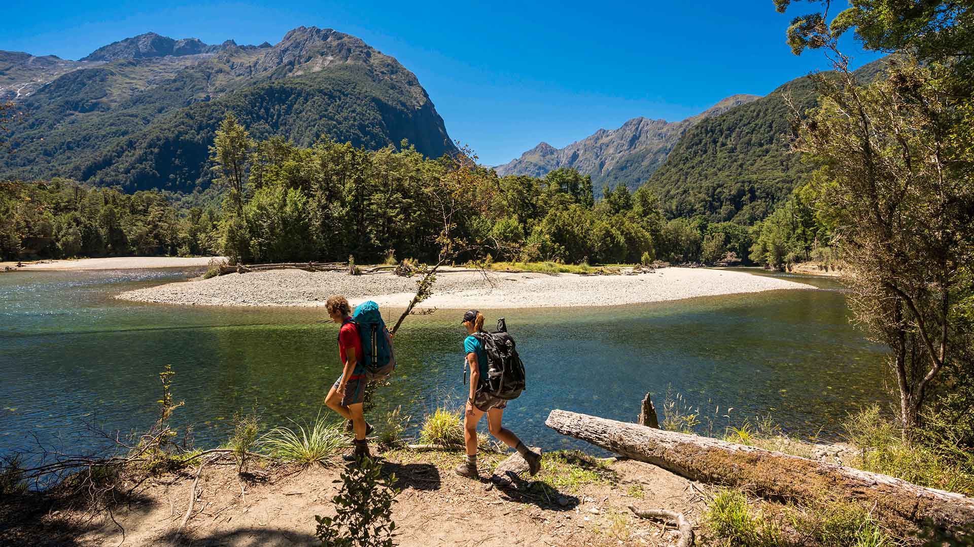
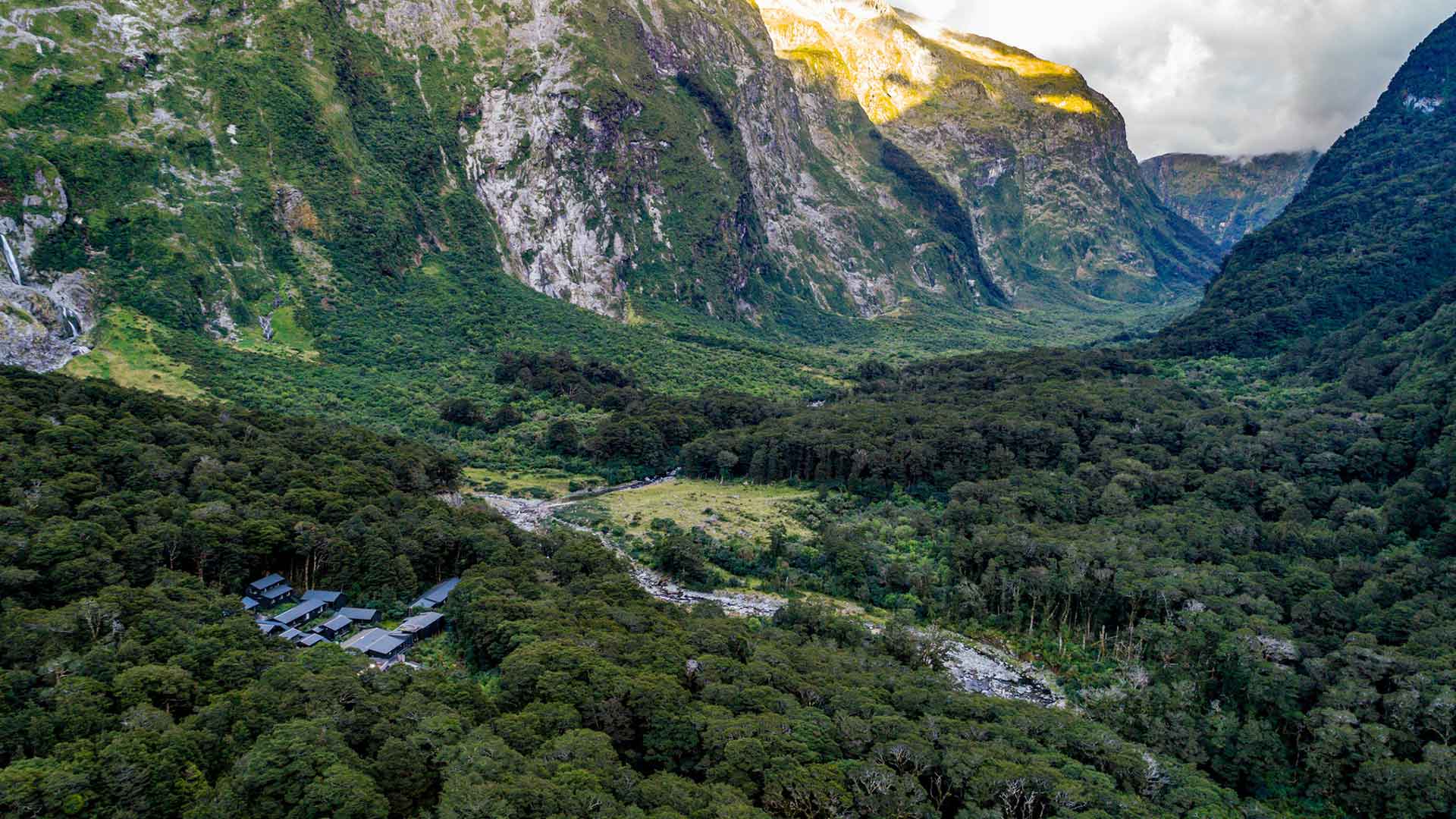
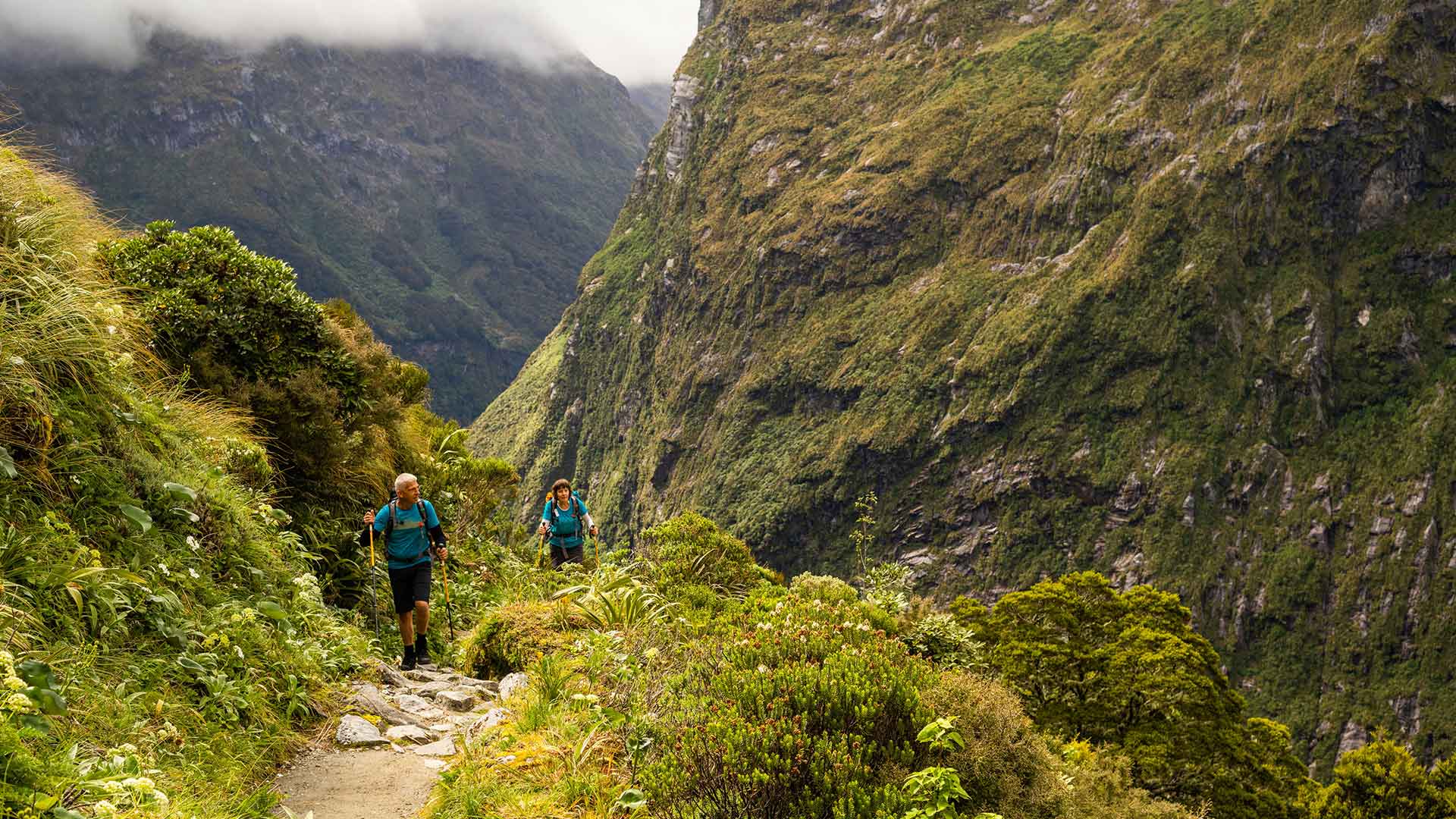
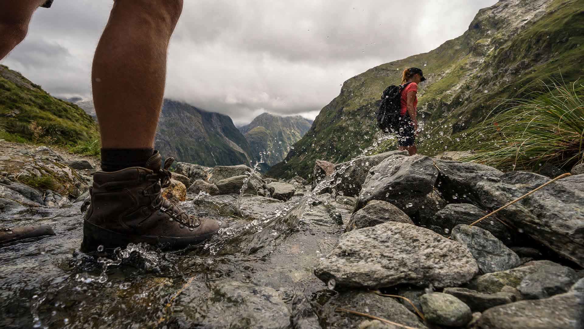
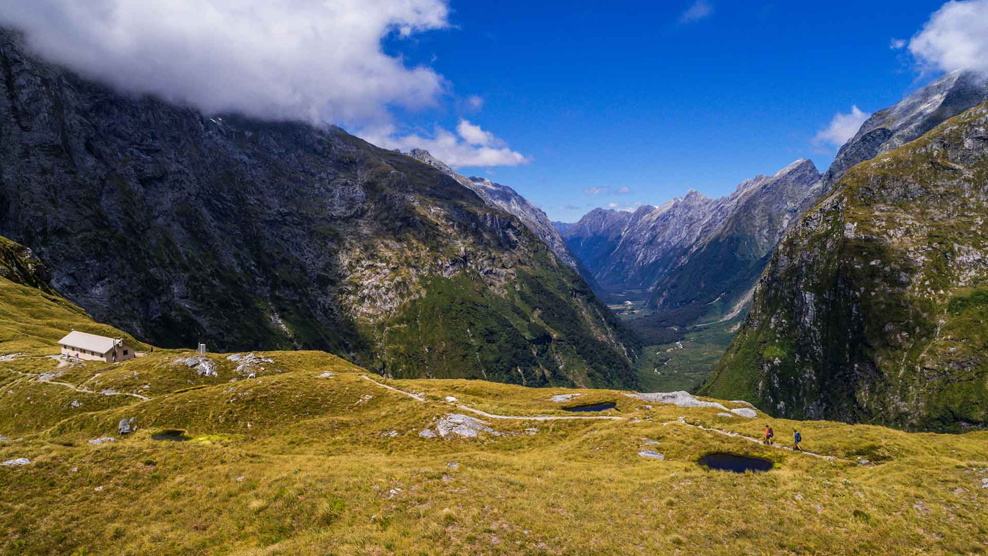
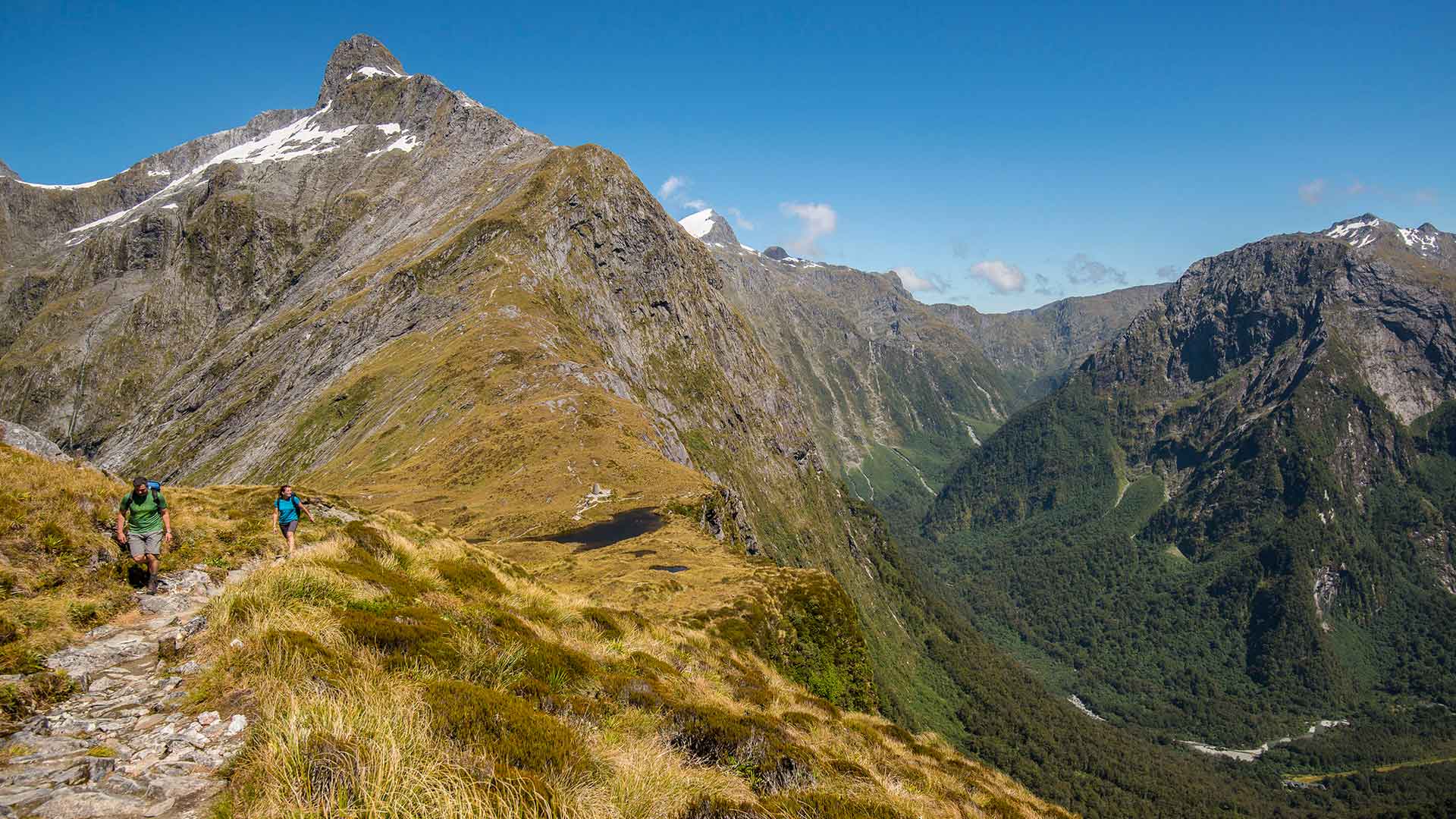
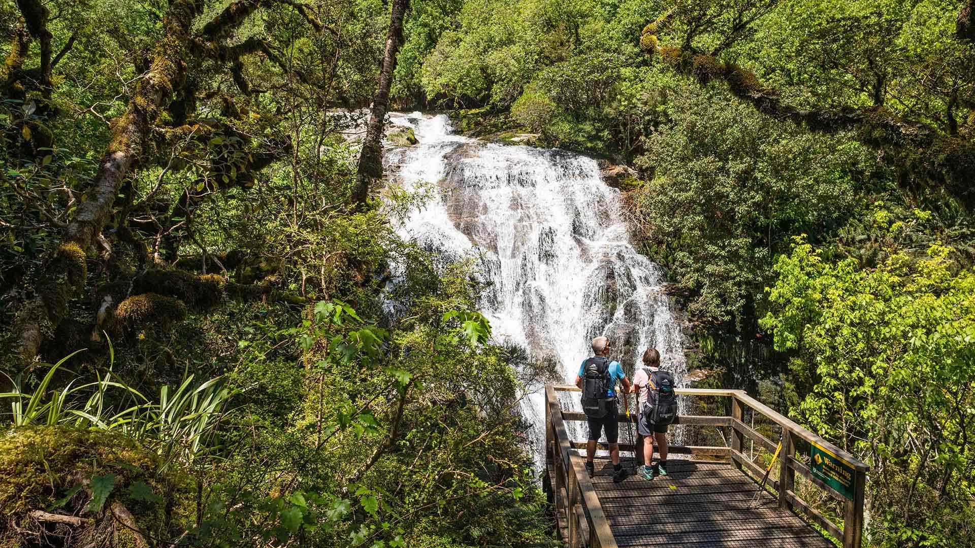
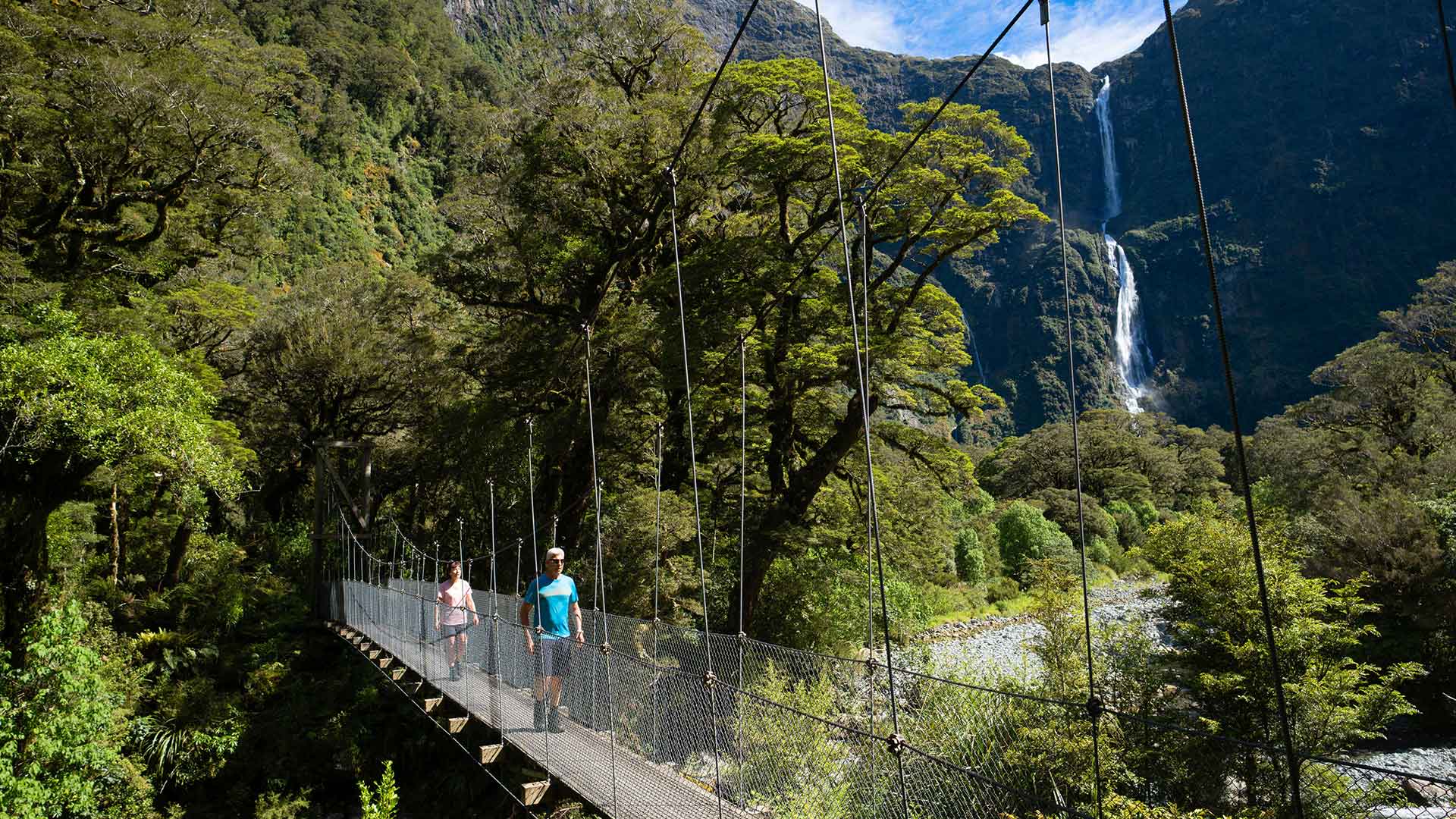
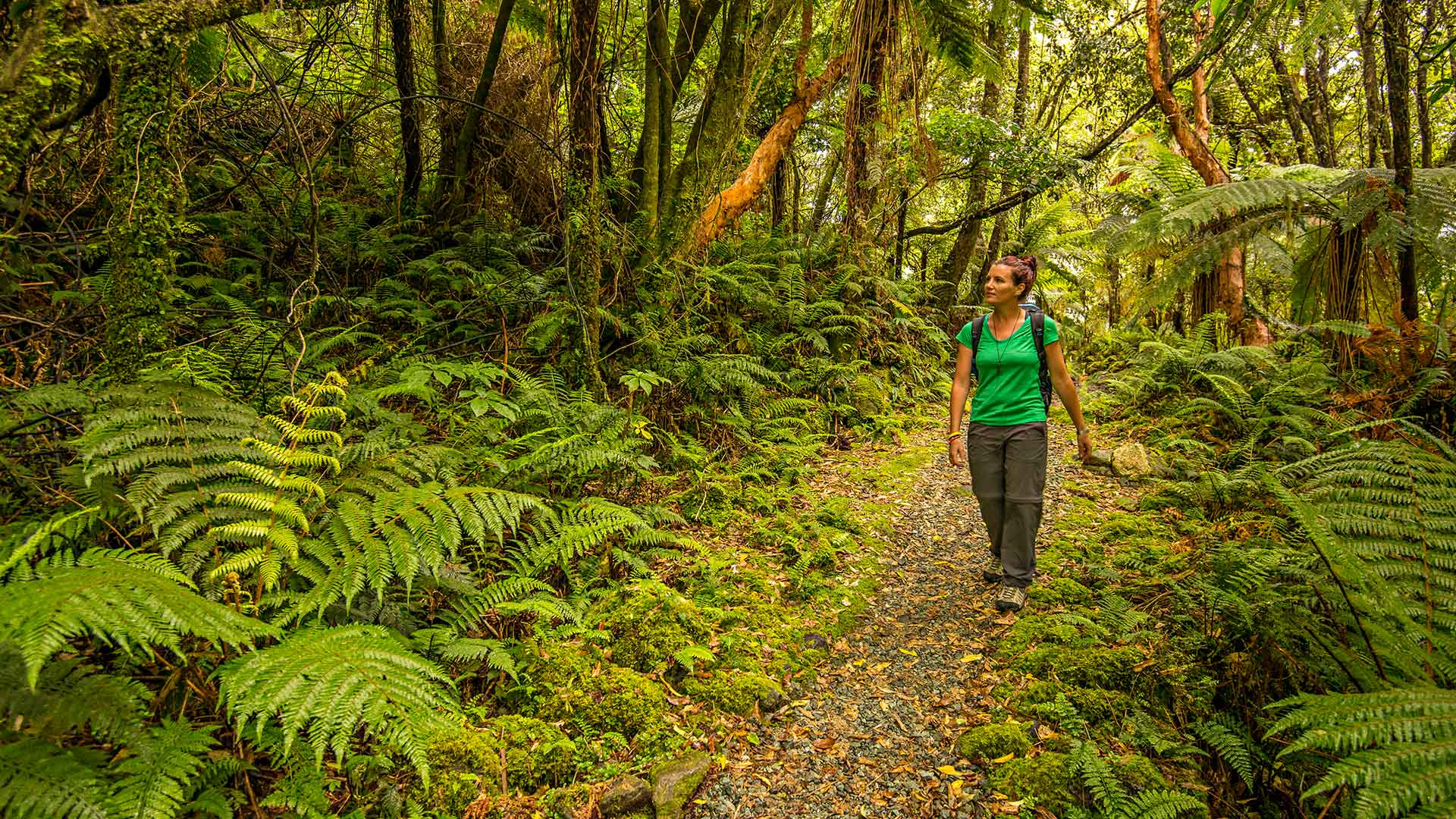
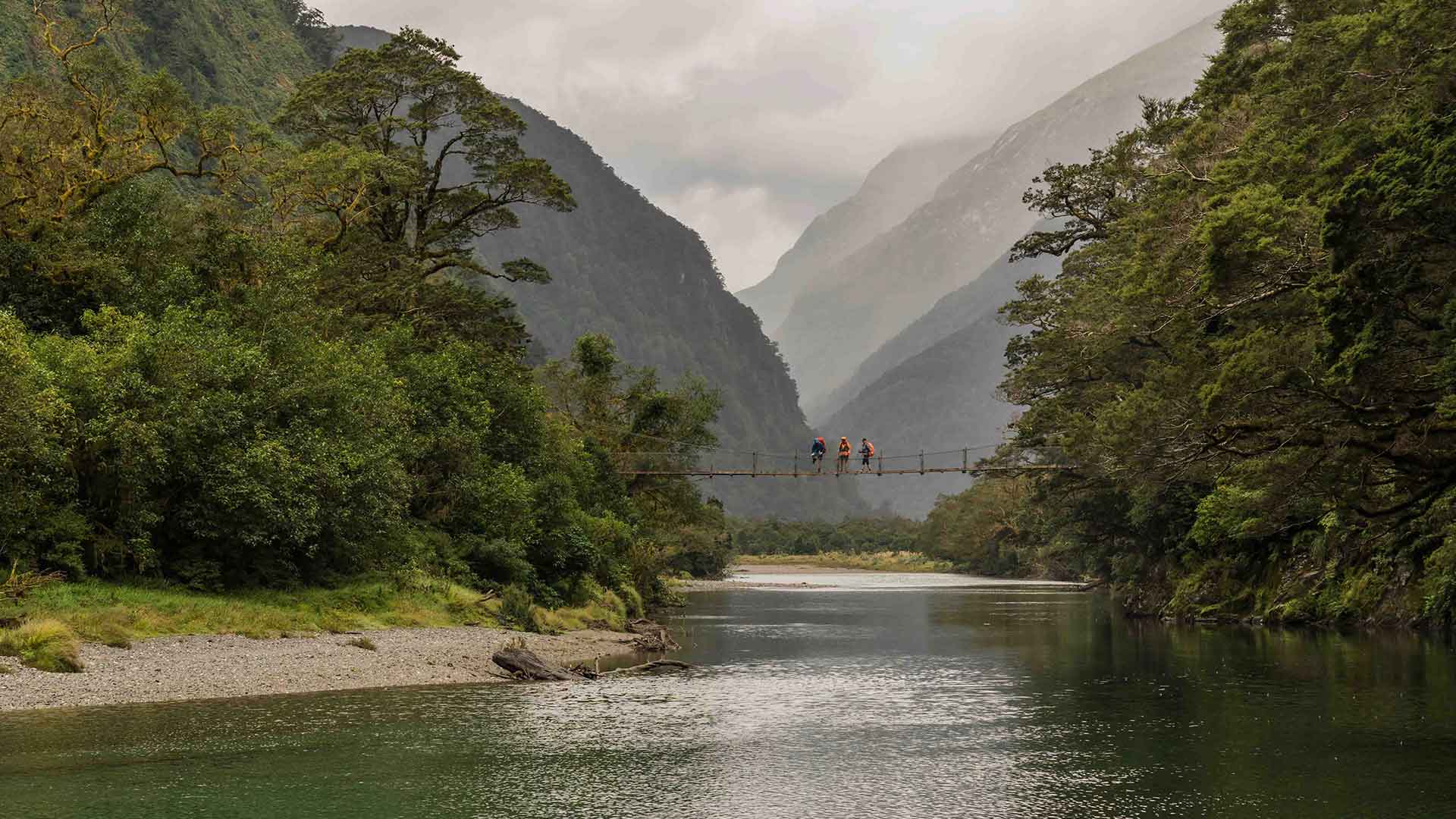
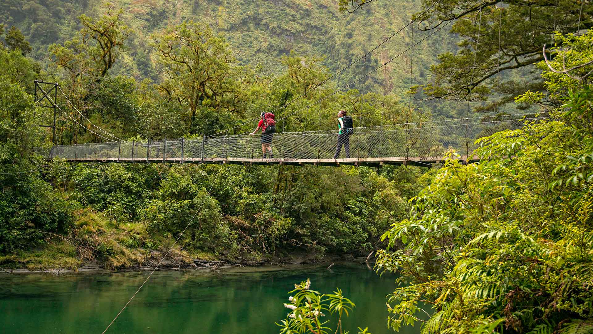
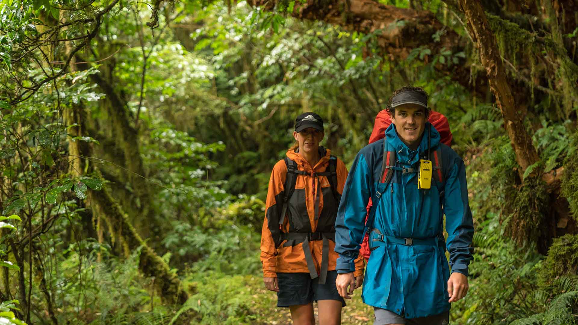
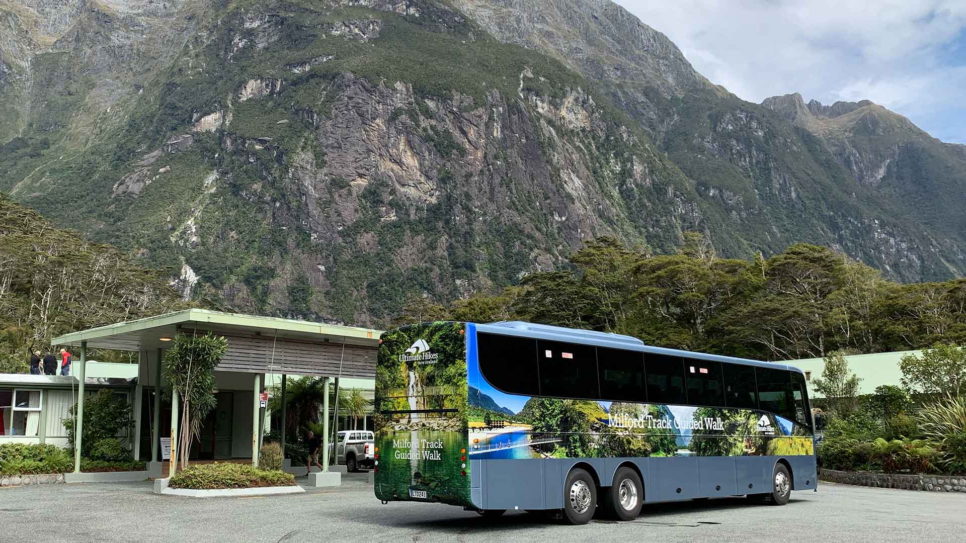
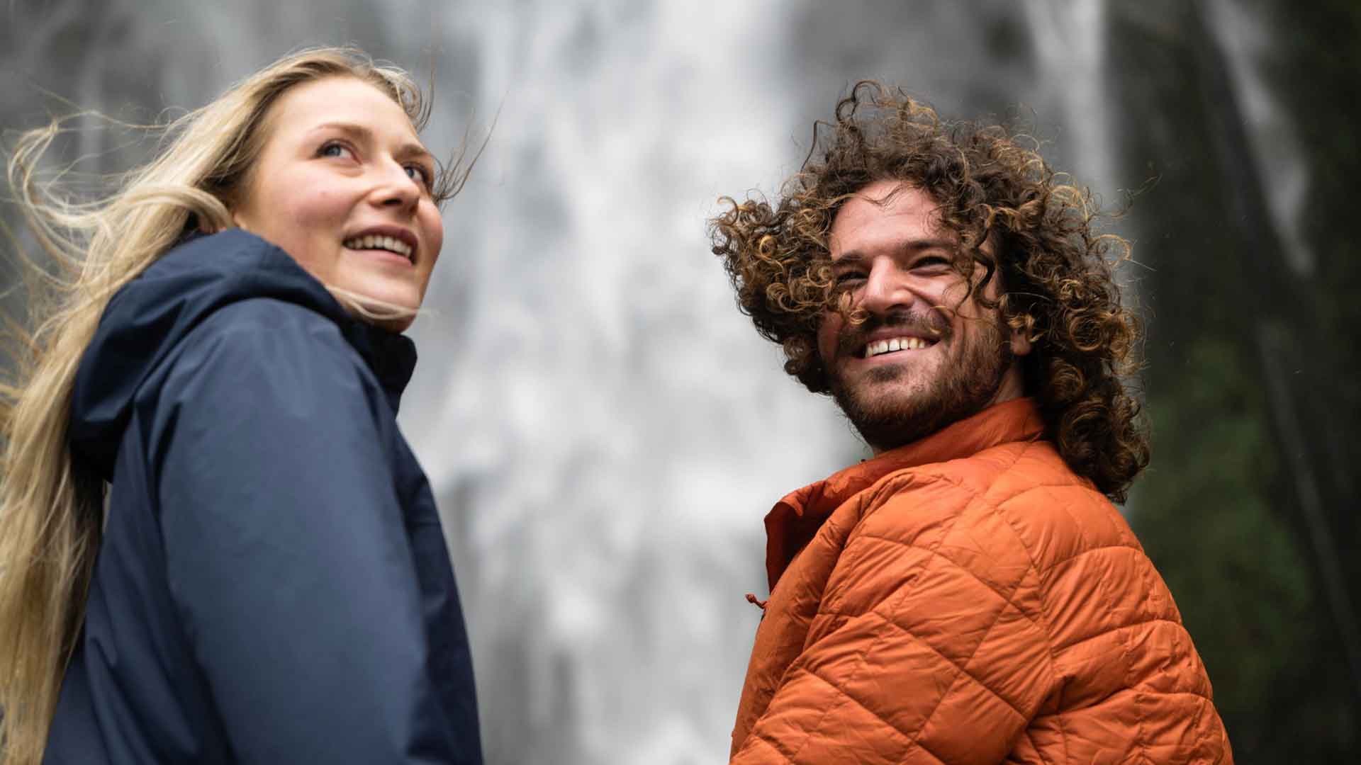
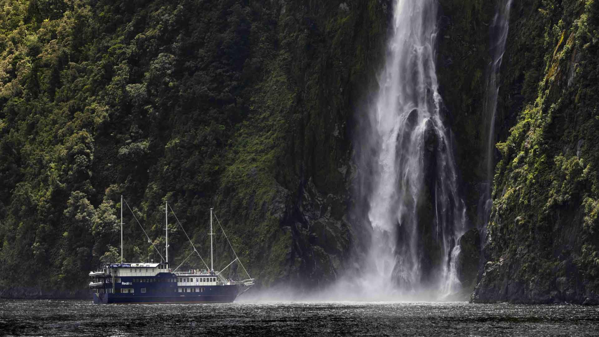
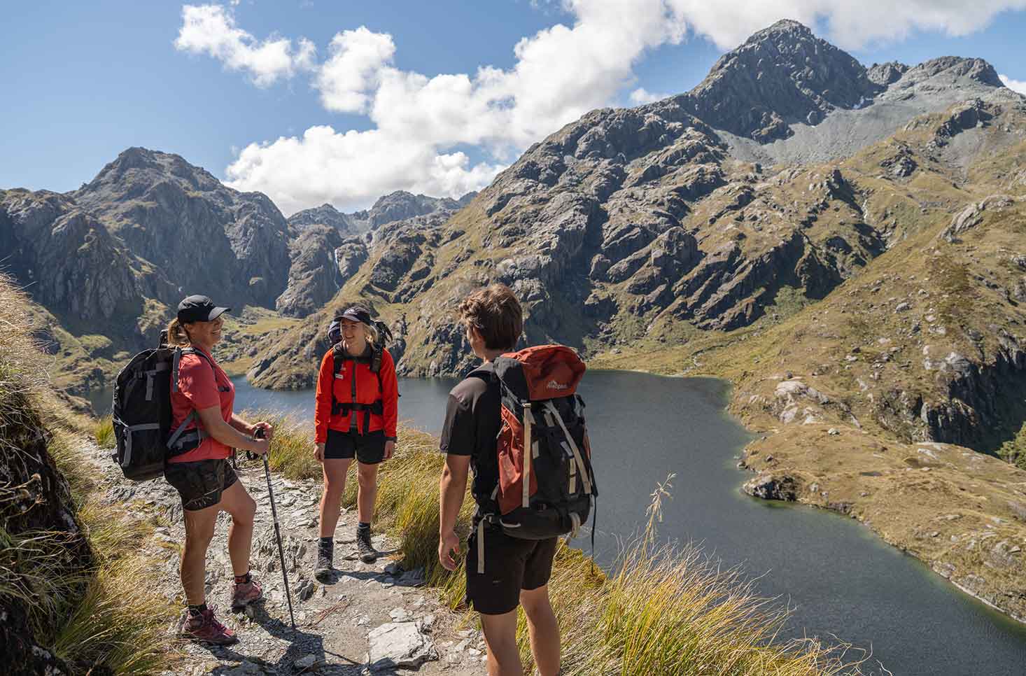
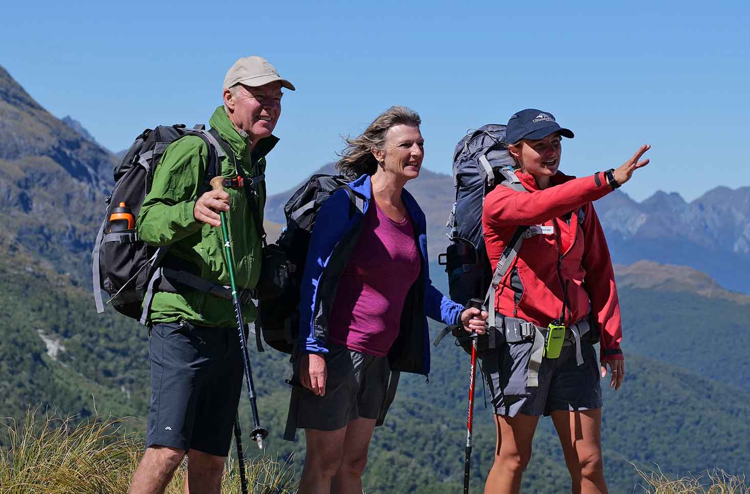
Our guided Milford Track hike is a 5-day, 4-night all-inclusive adventure, designed to help you explore this legendary trail in comfort and confidence. Walk through ancient rainforest, cross alpine saddles, and descend into glacier-carved valleys, all while surrounded by towering peaks, waterfalls, and native wildlife.
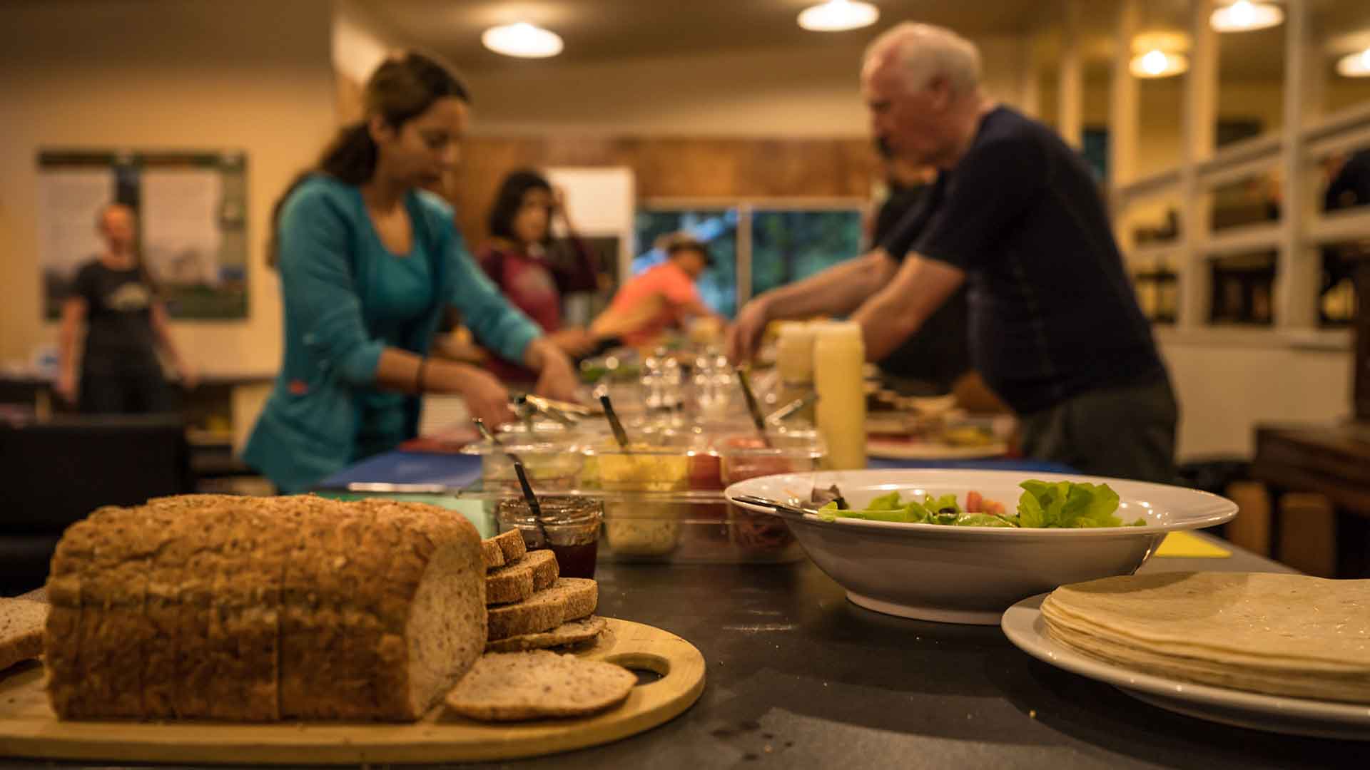
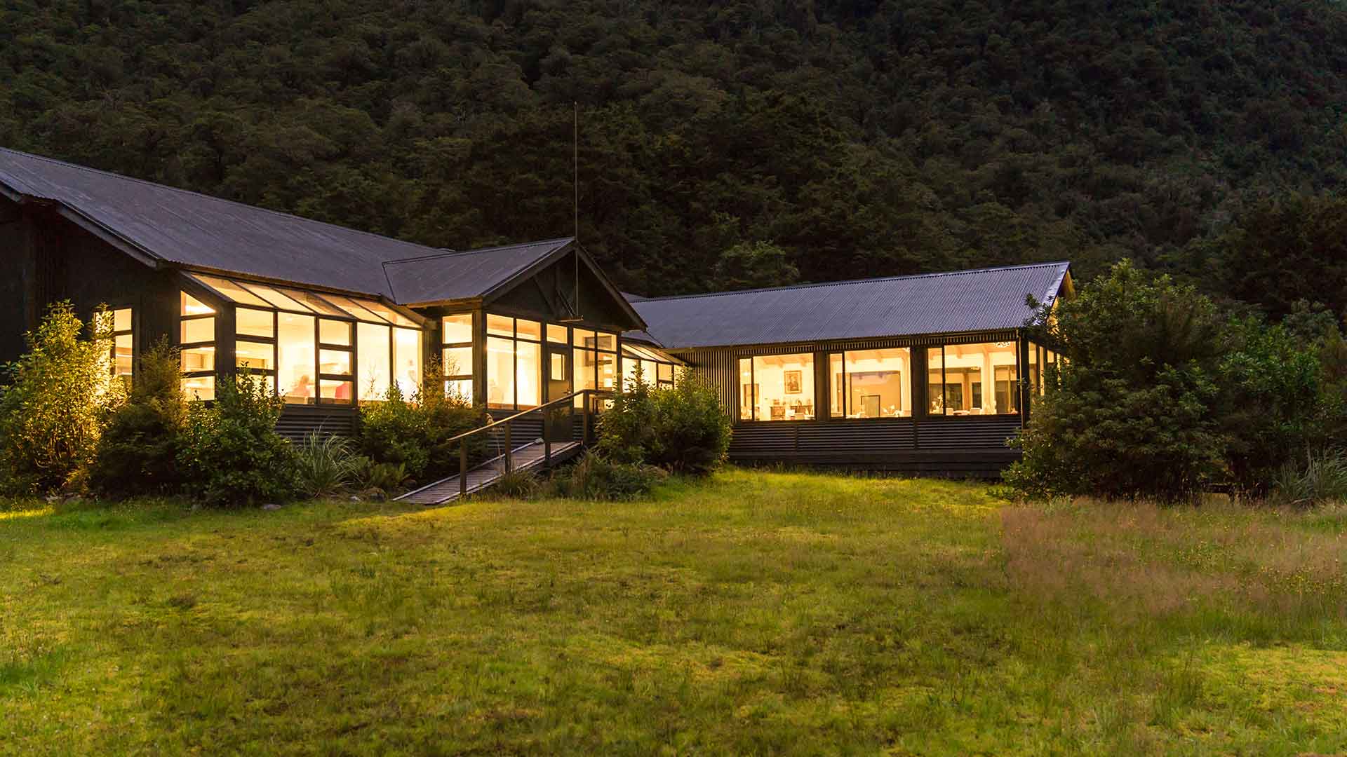
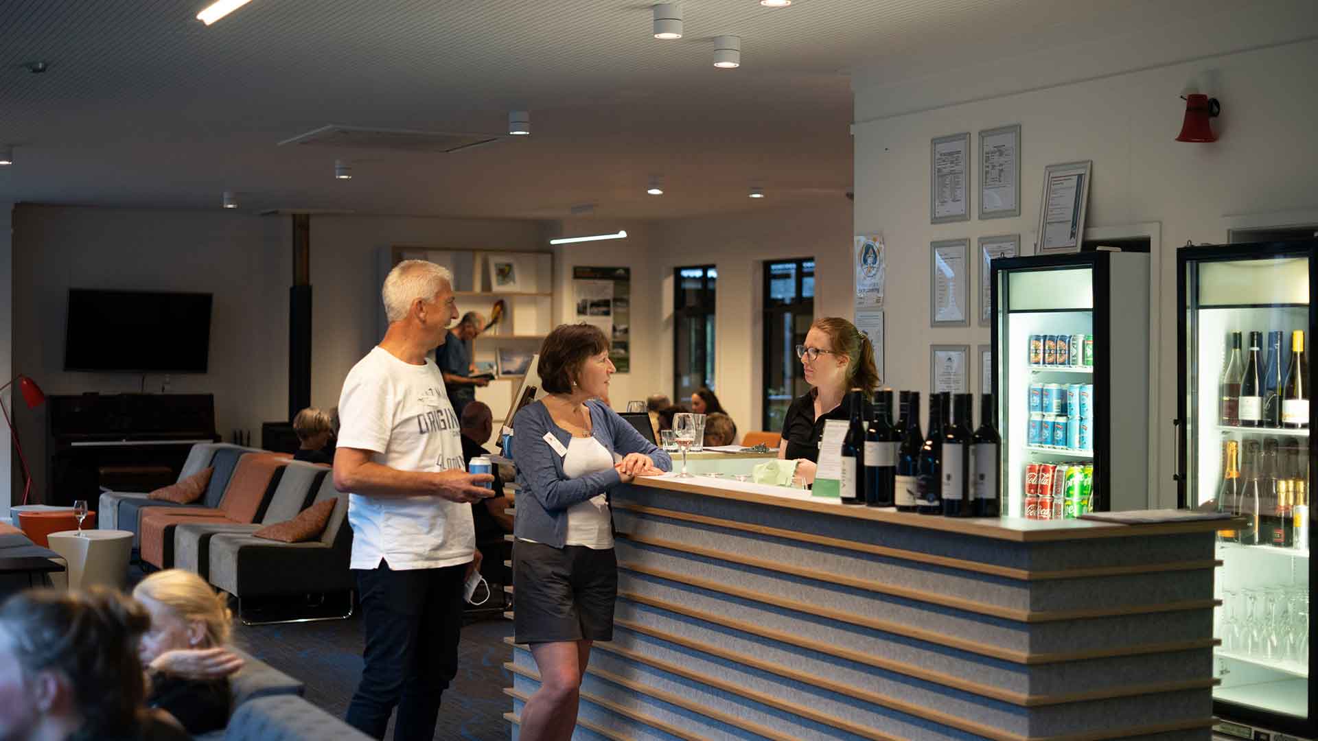
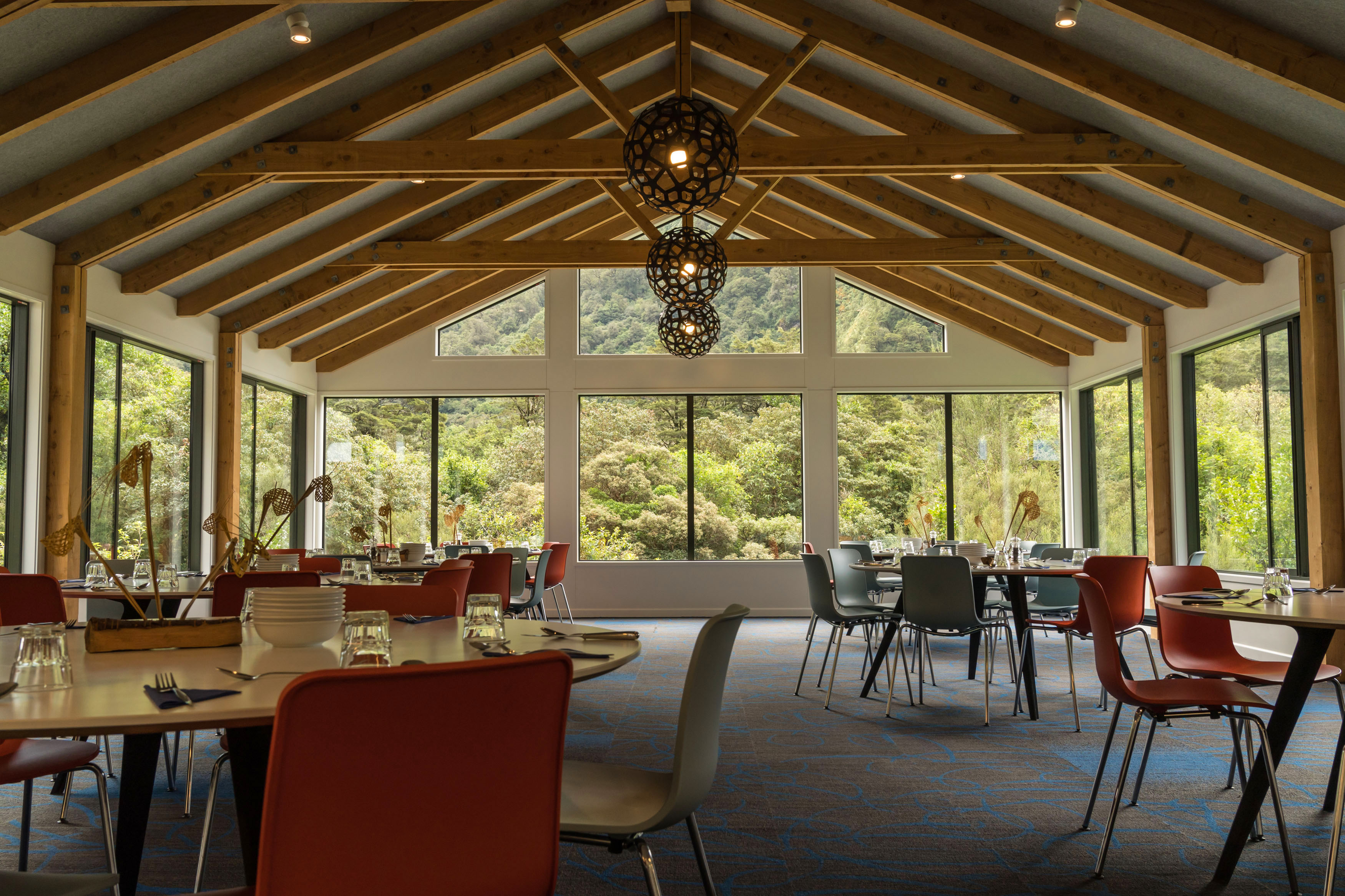
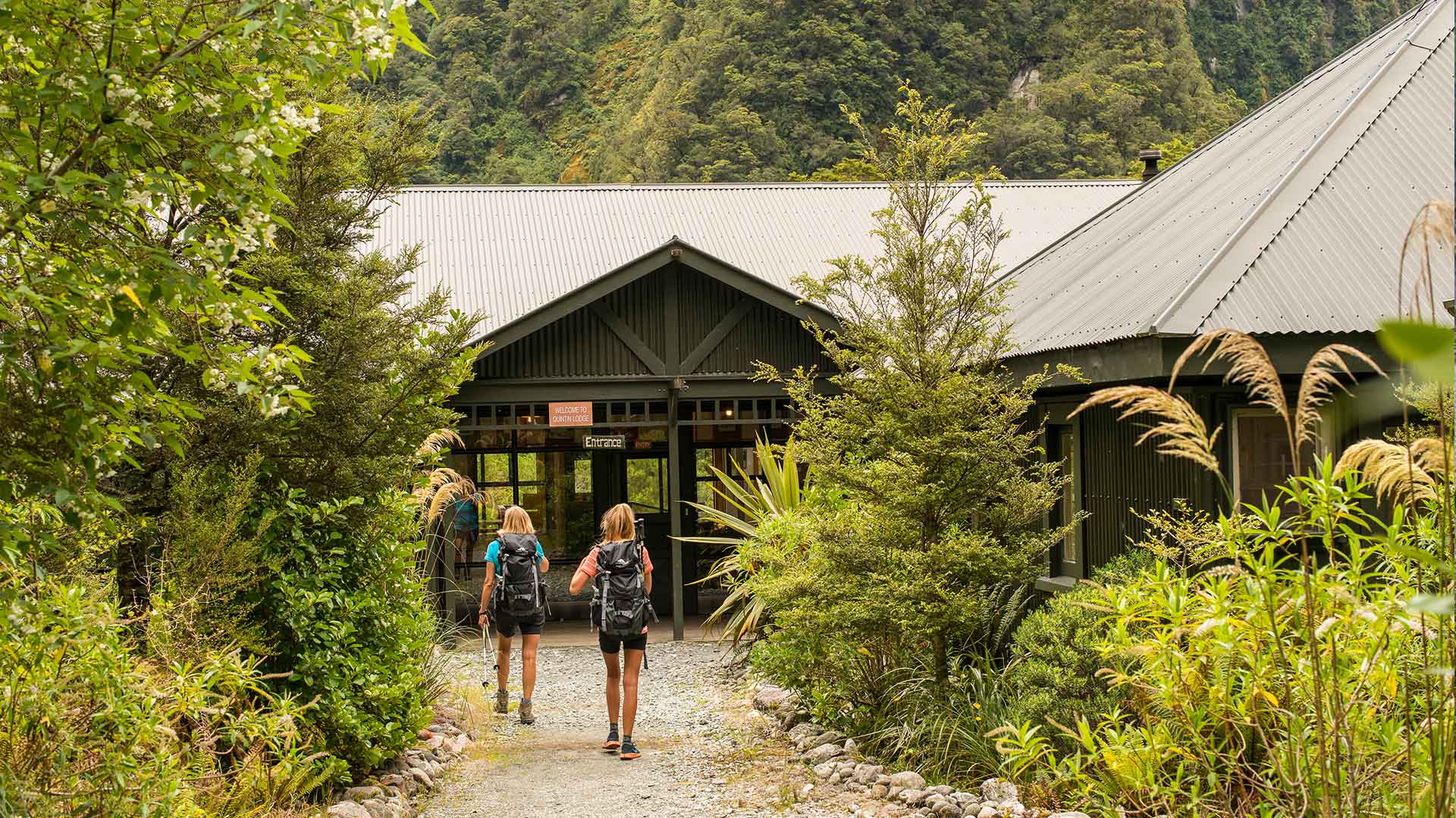
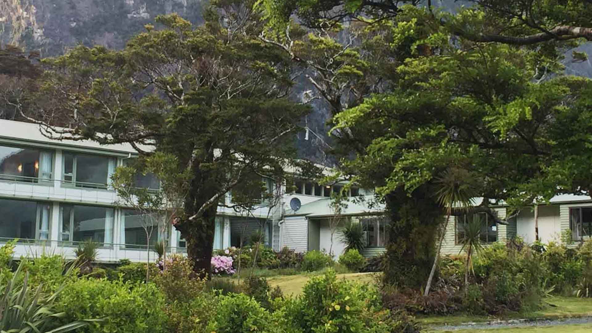
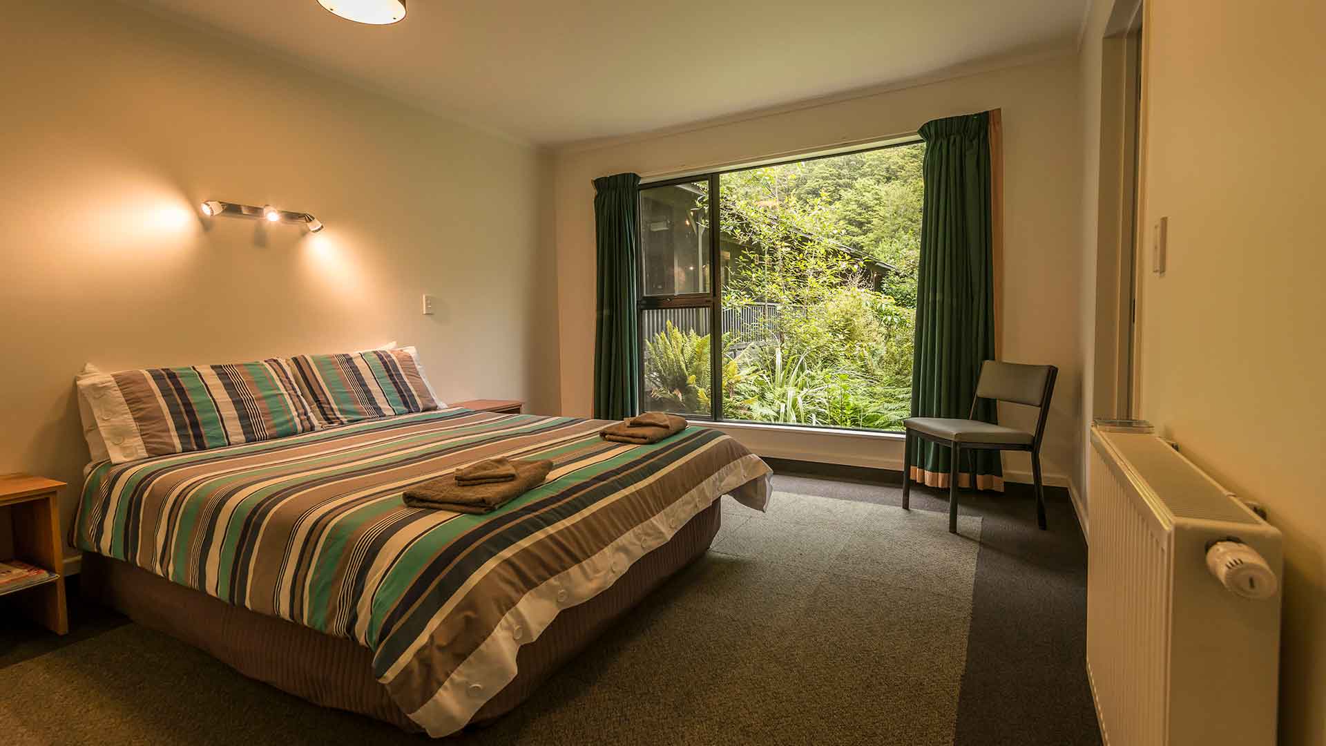
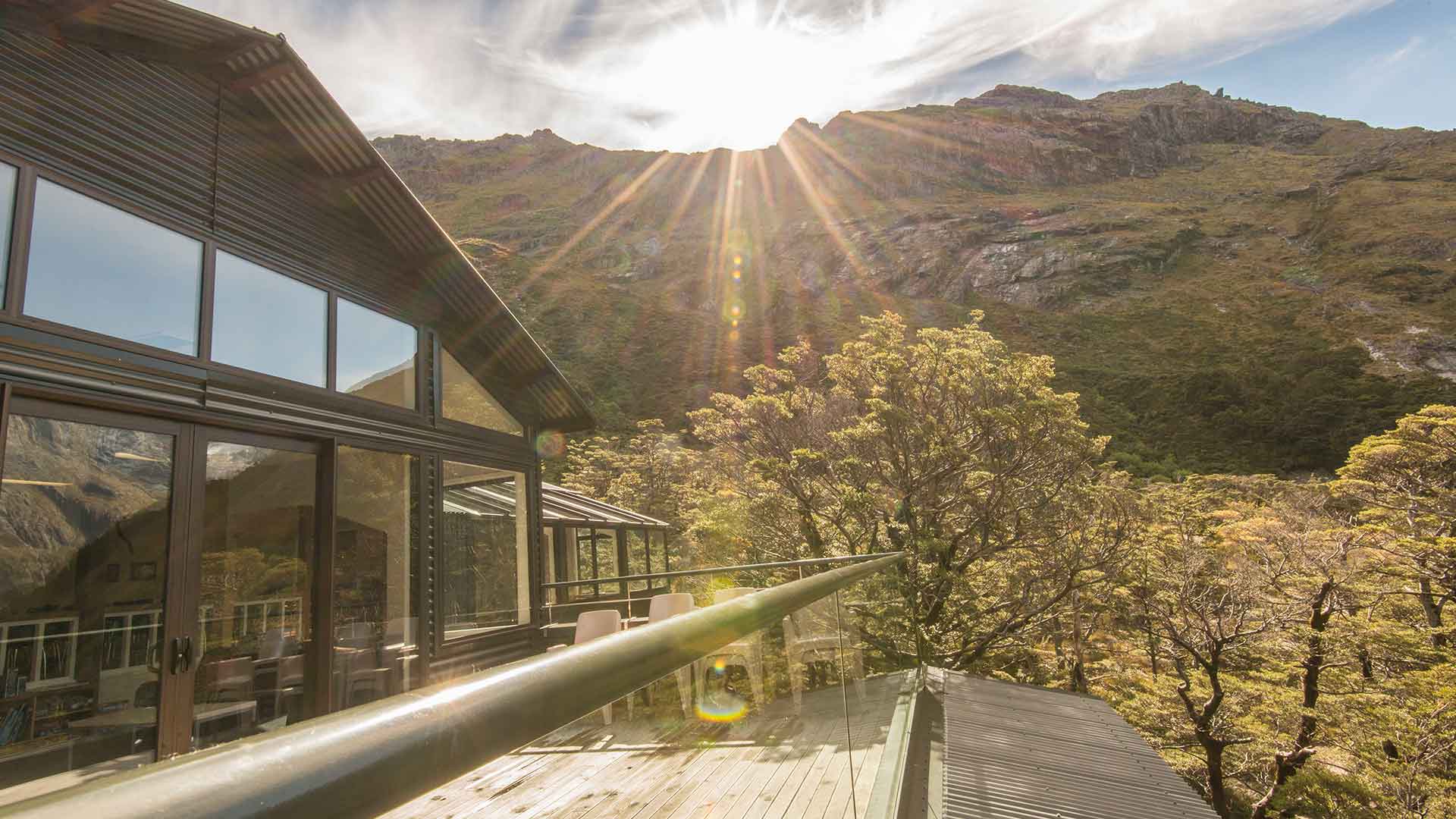
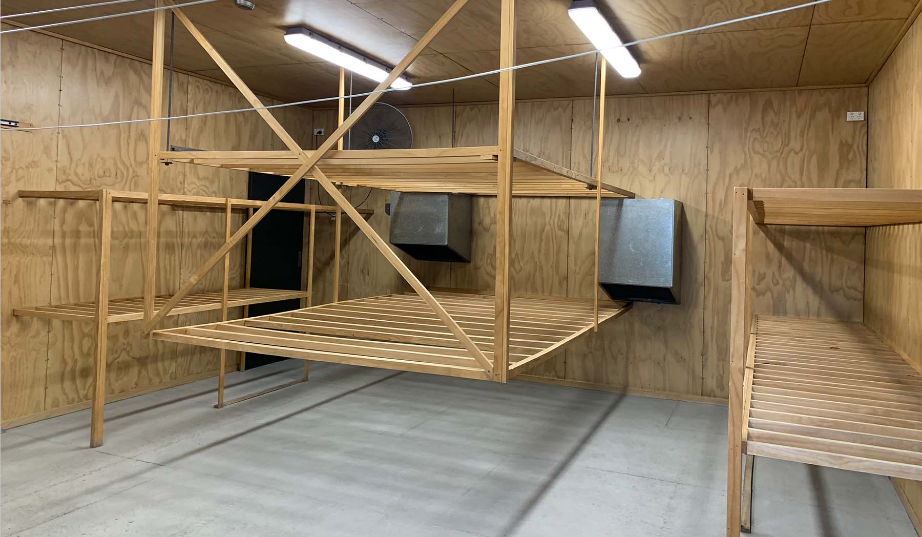
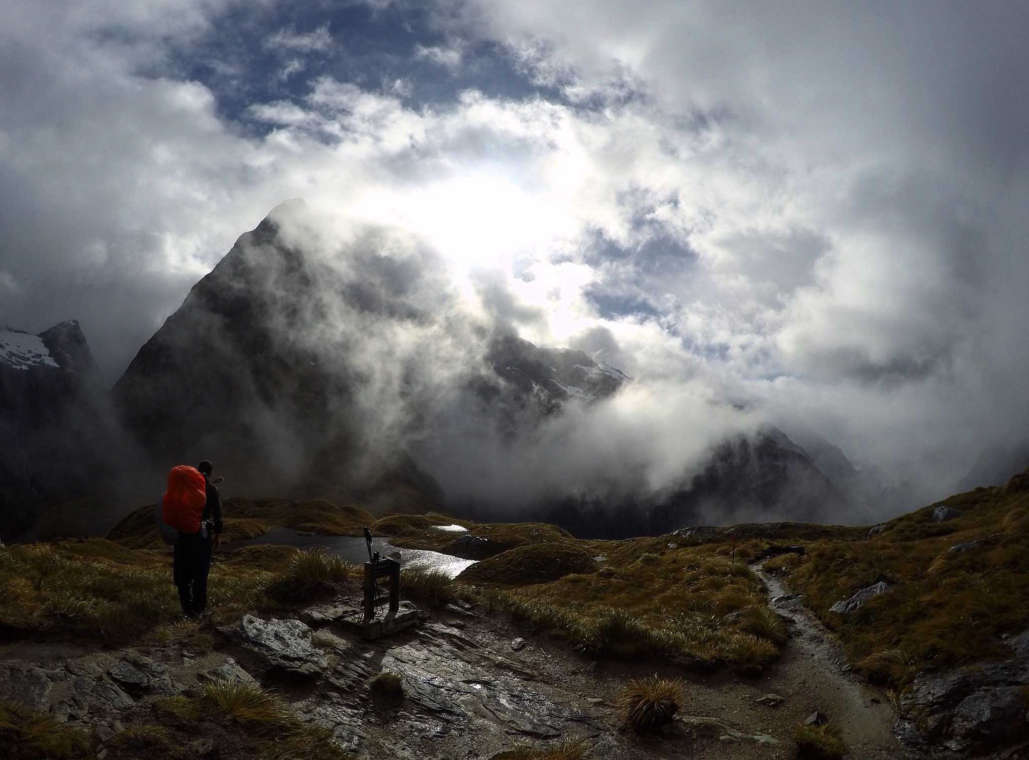
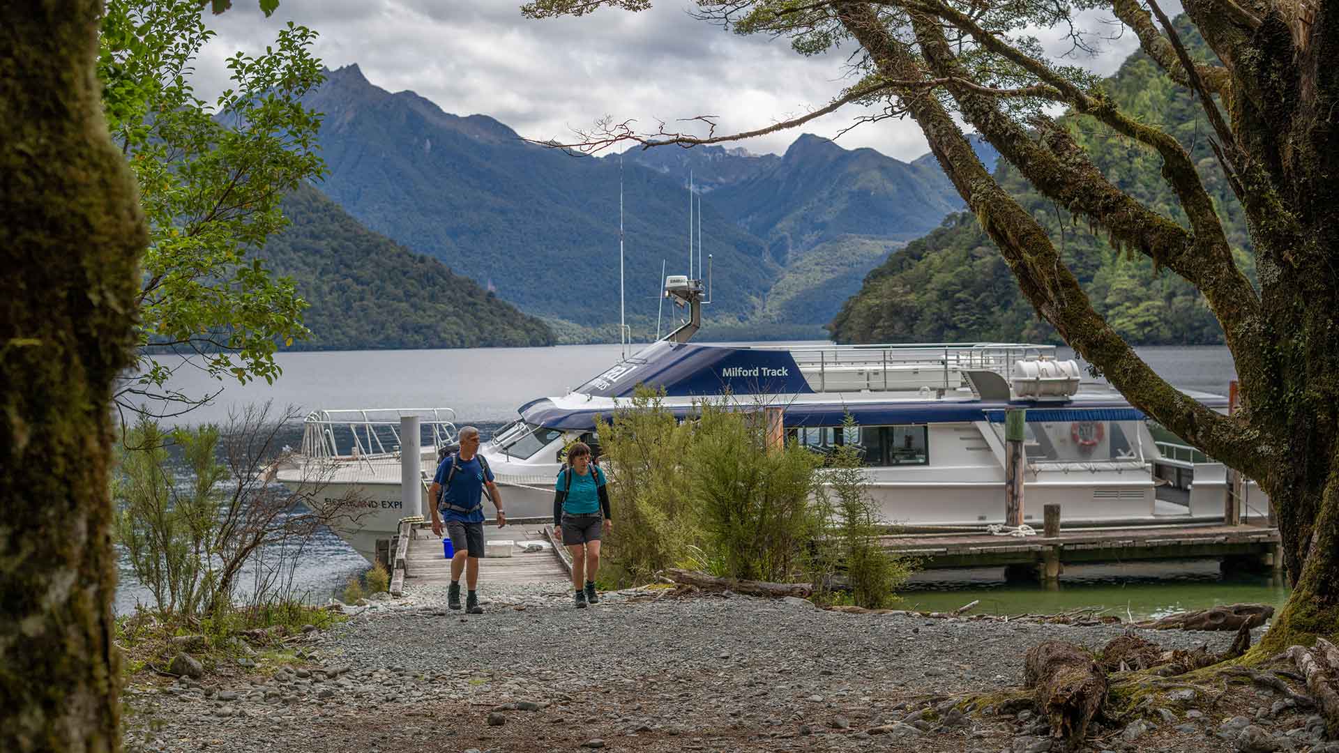
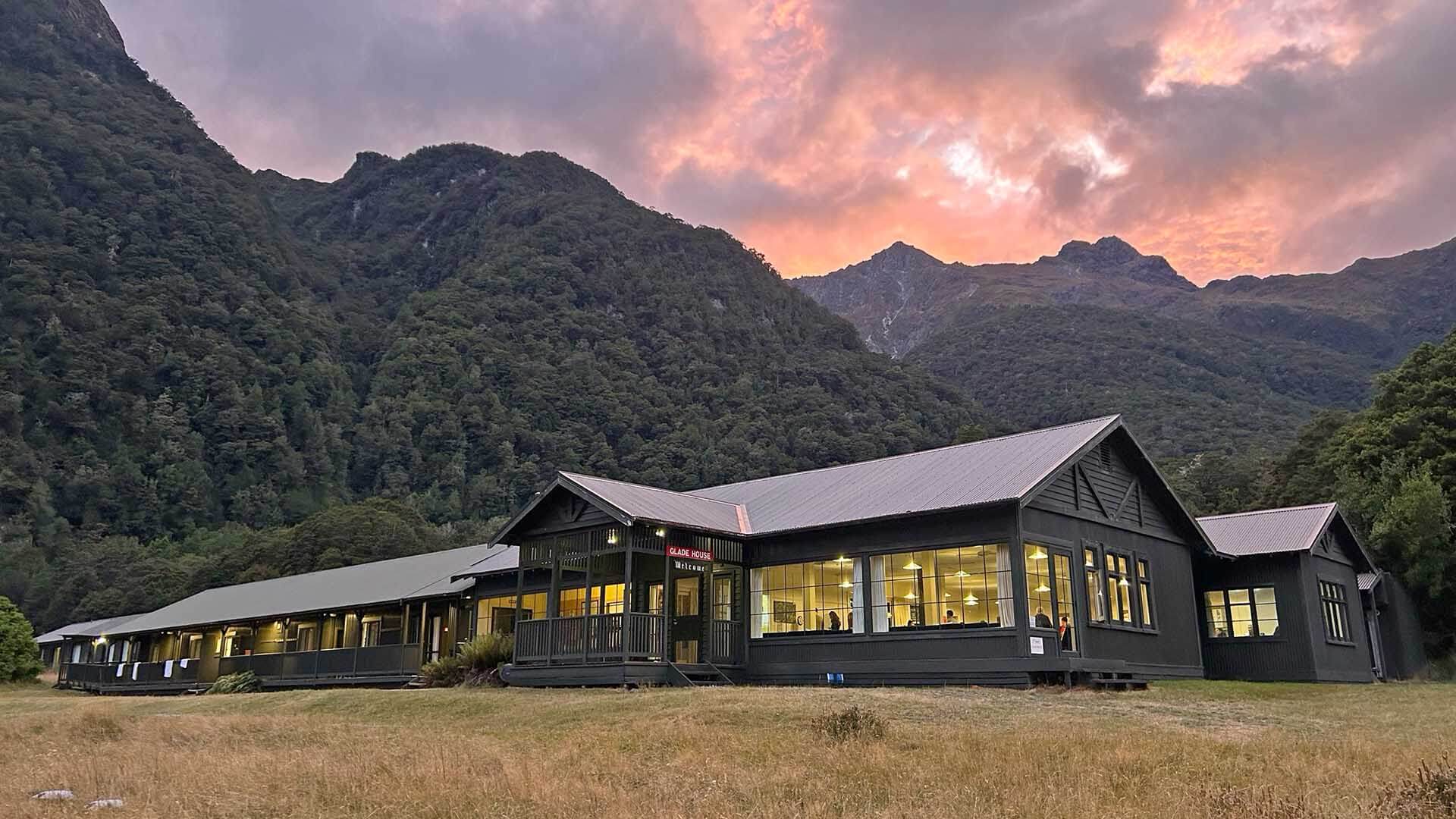
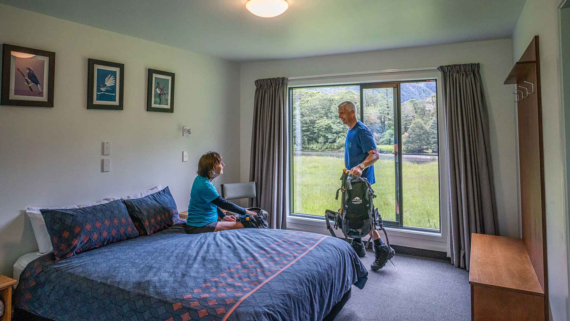
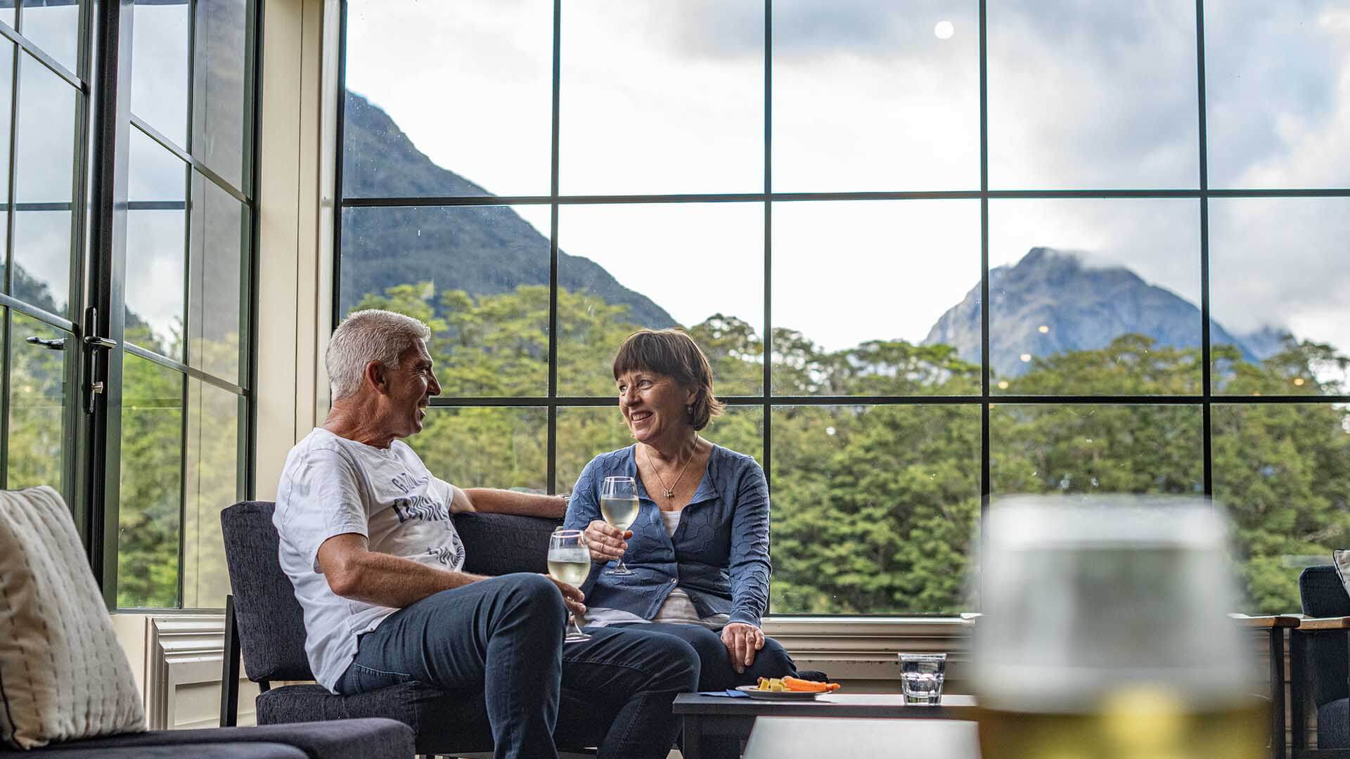
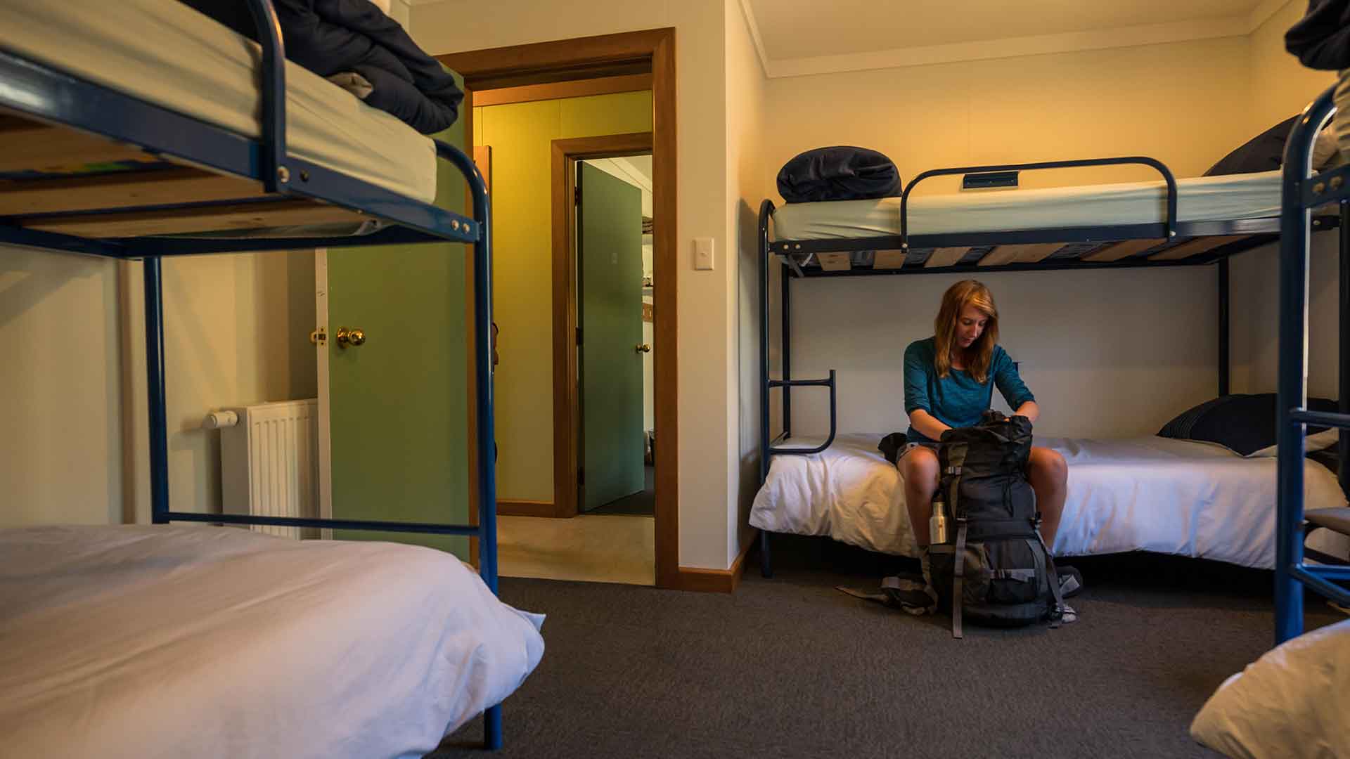
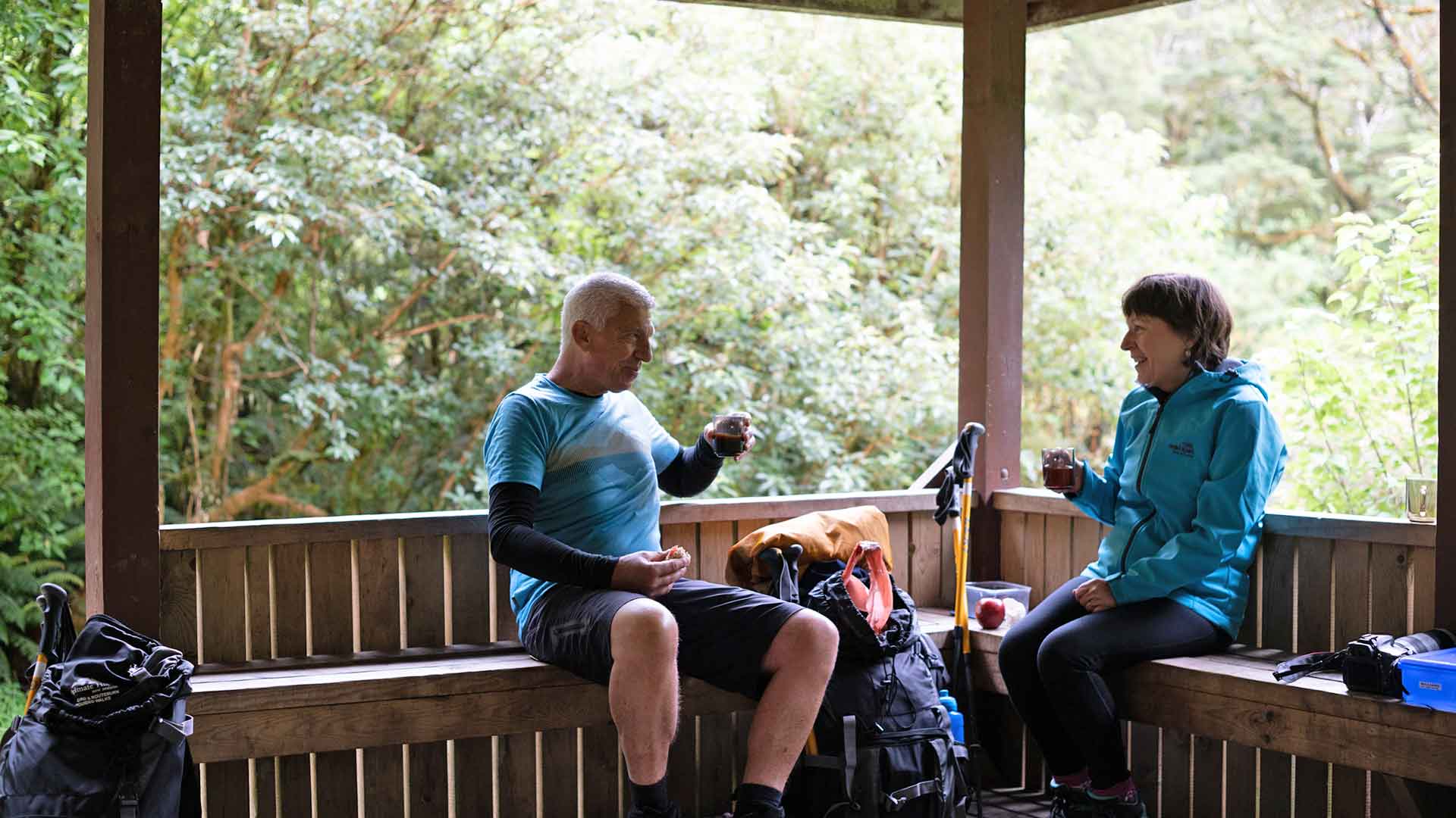
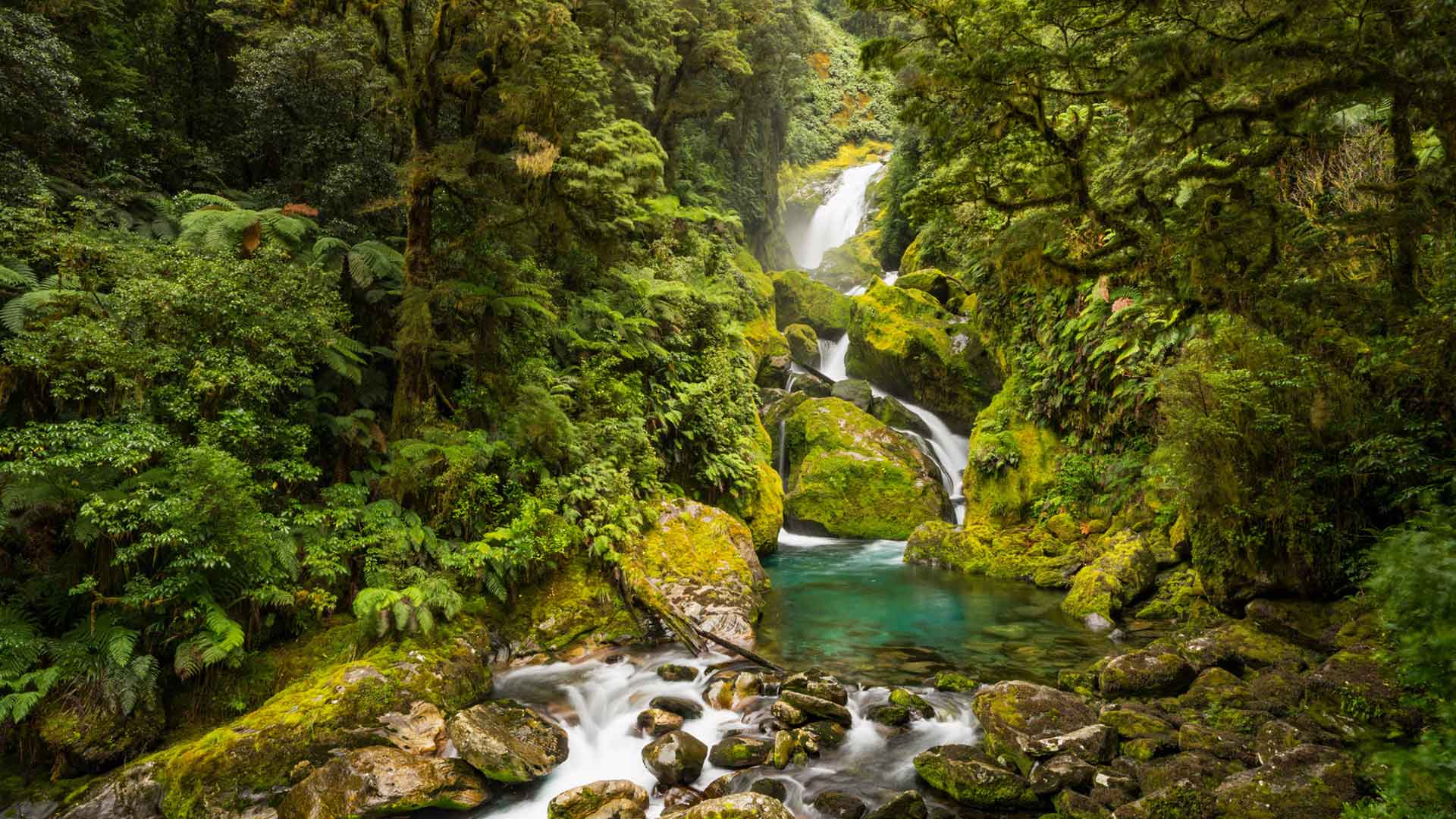
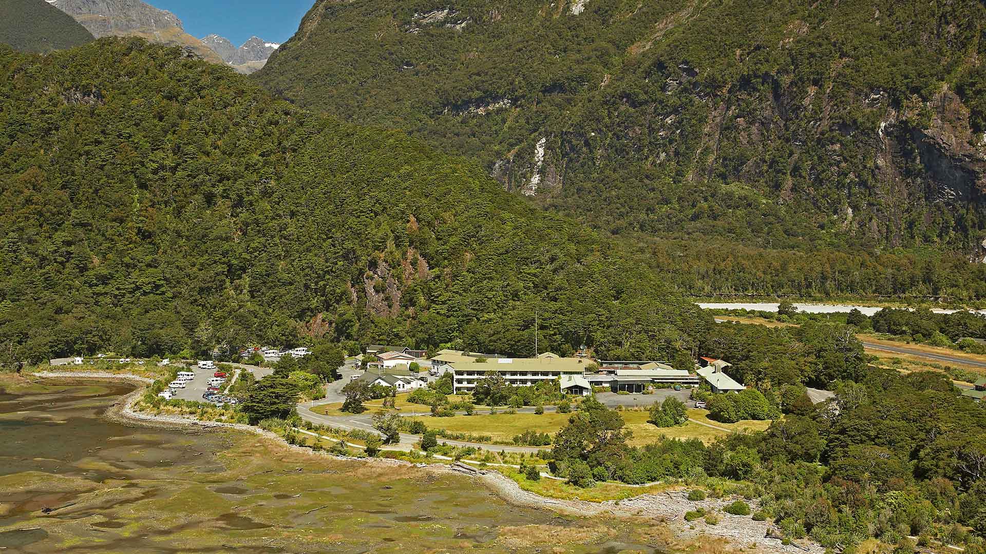
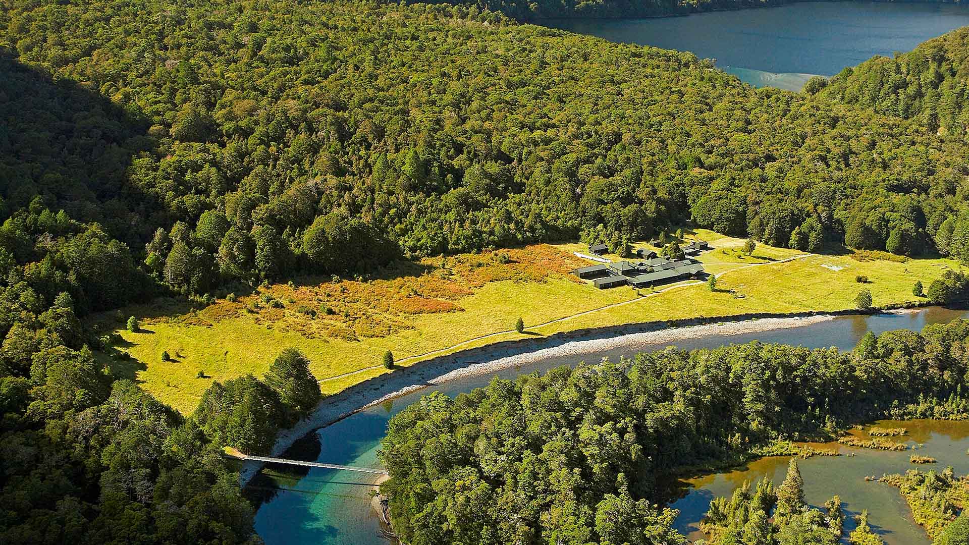
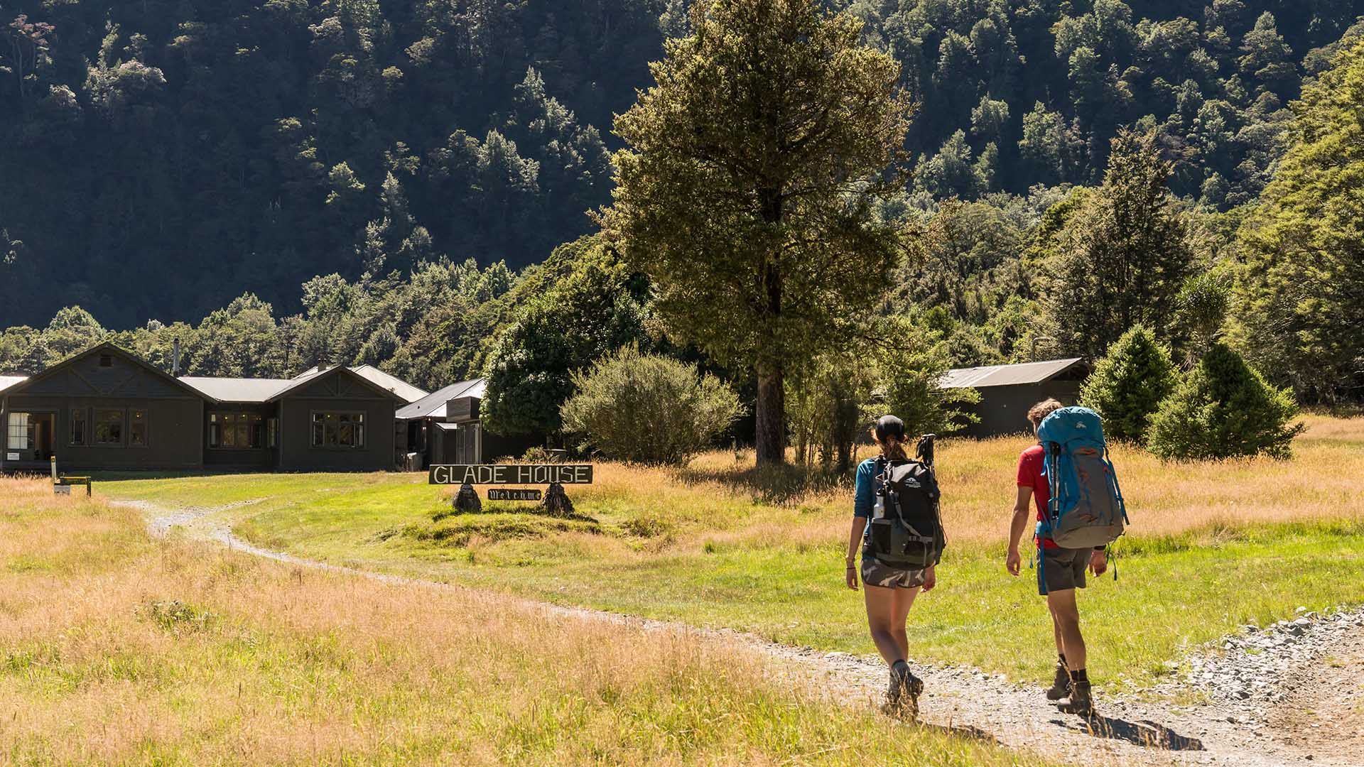
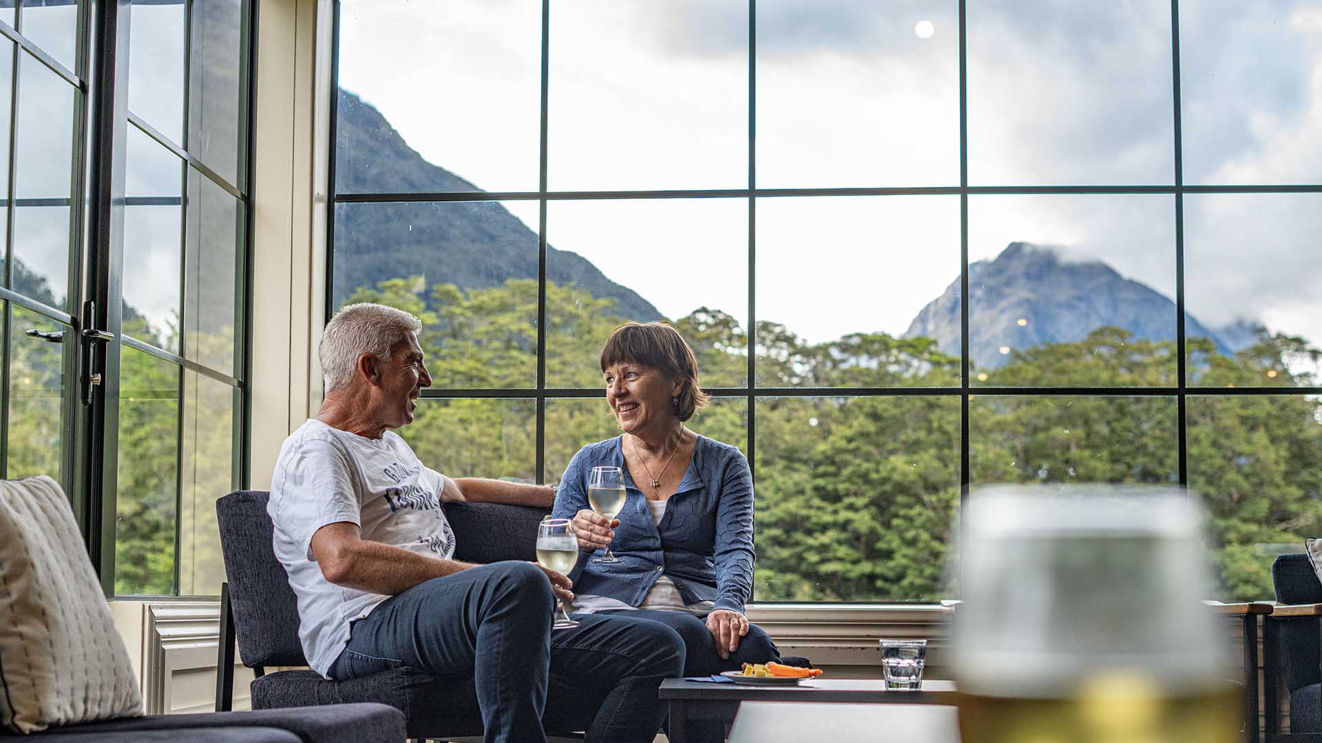
Each evening, relax in comfort at our private lodges, with hot showers, hearty meals, and a well-earned drink from the bar. The track has its challenges, including the climb over Omanui / MacKinnon Pass, but the rewards are unforgettable, vibrant native flora, crystal-clear rivers, and the calls of kea, kākā, and even the elusive kiwi.
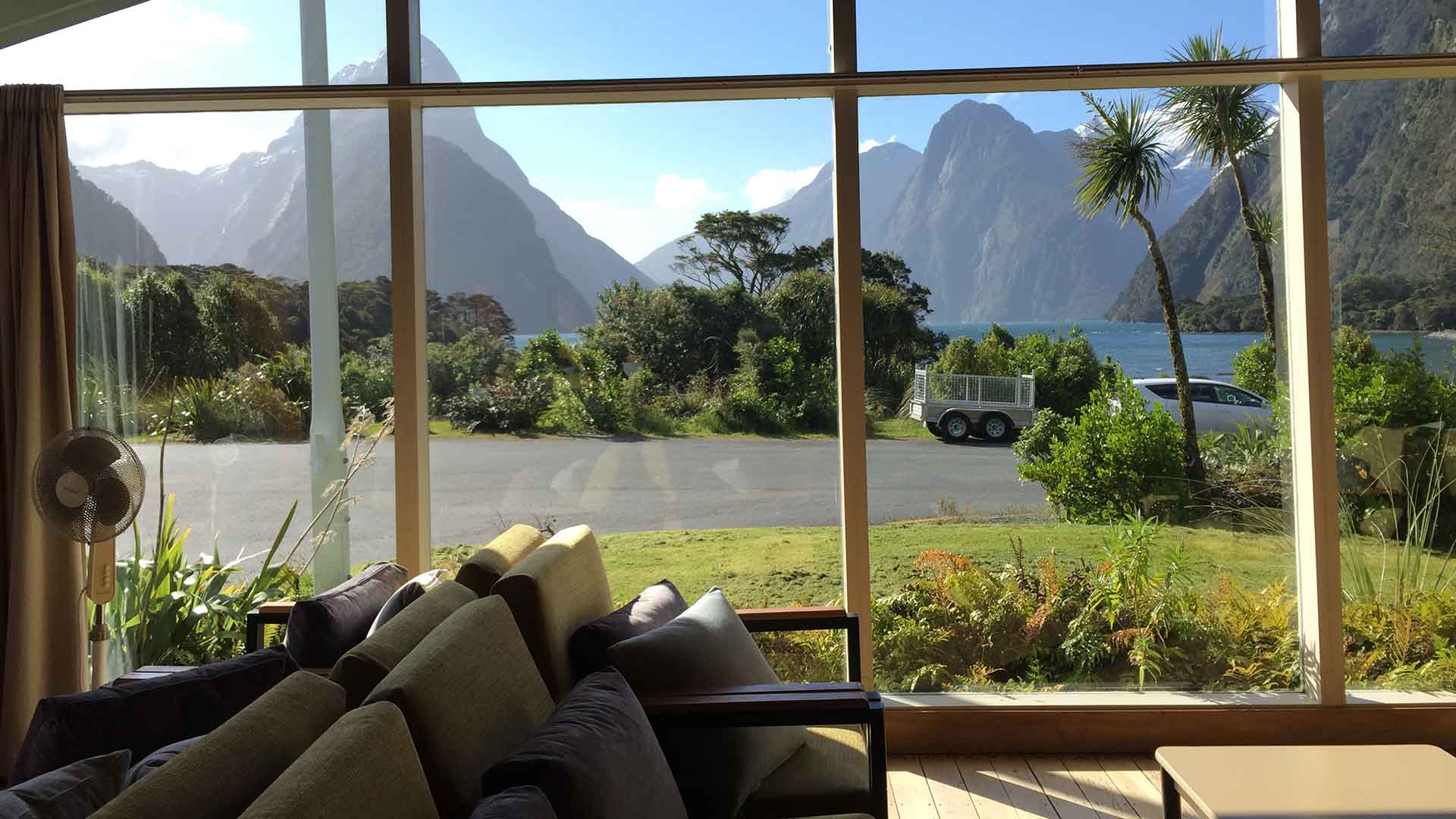
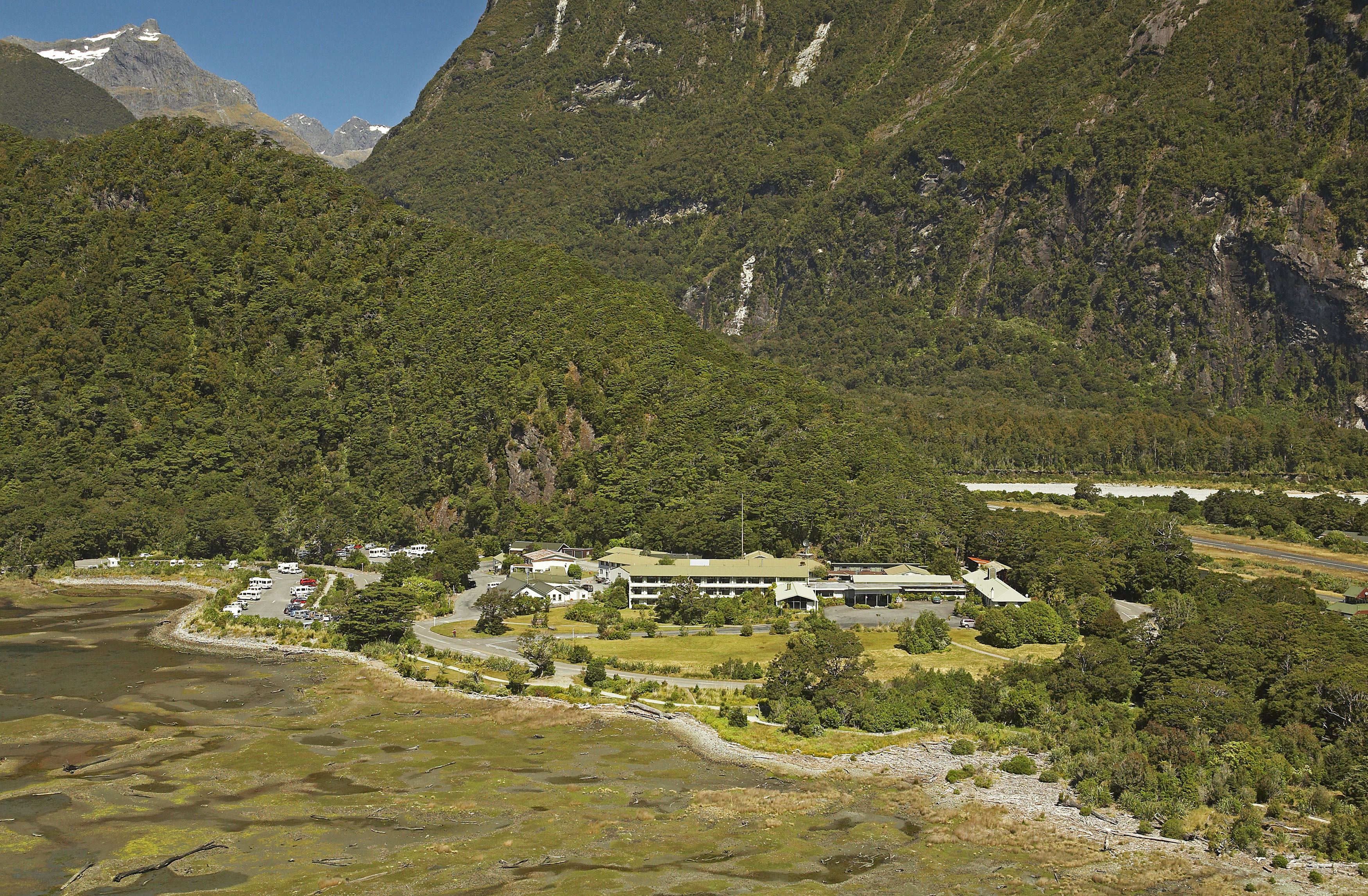
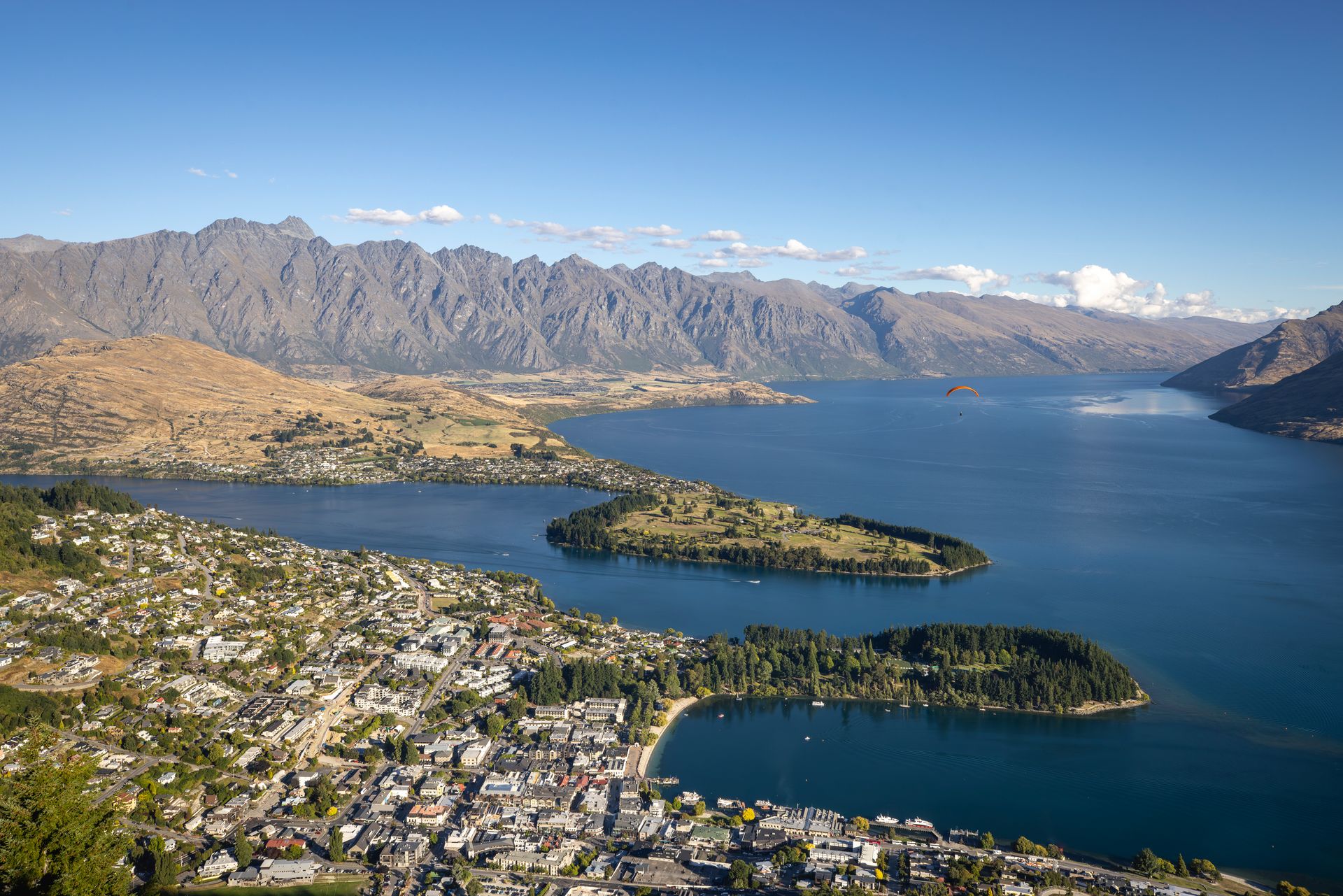
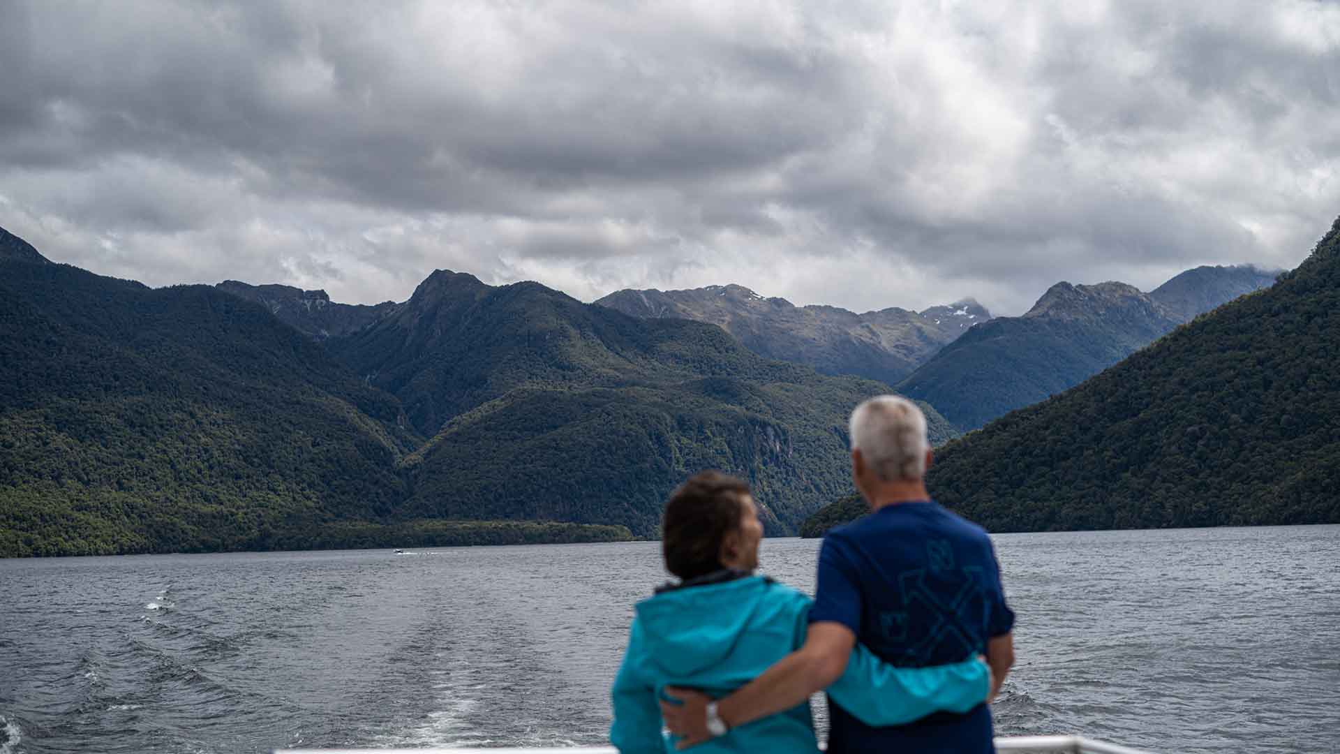
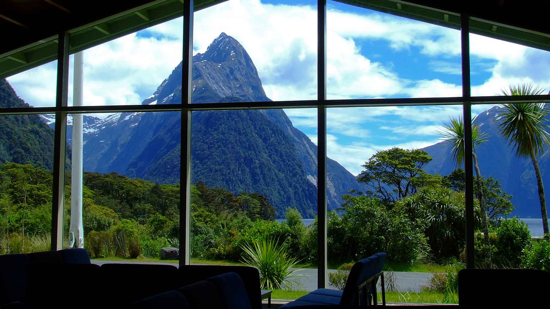
The journey ends in Milford Sound, where you’ll cruise the famous fiord before returning to Queenstown. To finish your adventure in style, choose a scenic helicopter flight back, complete with a breathtaking alpine landing.


.jpg)