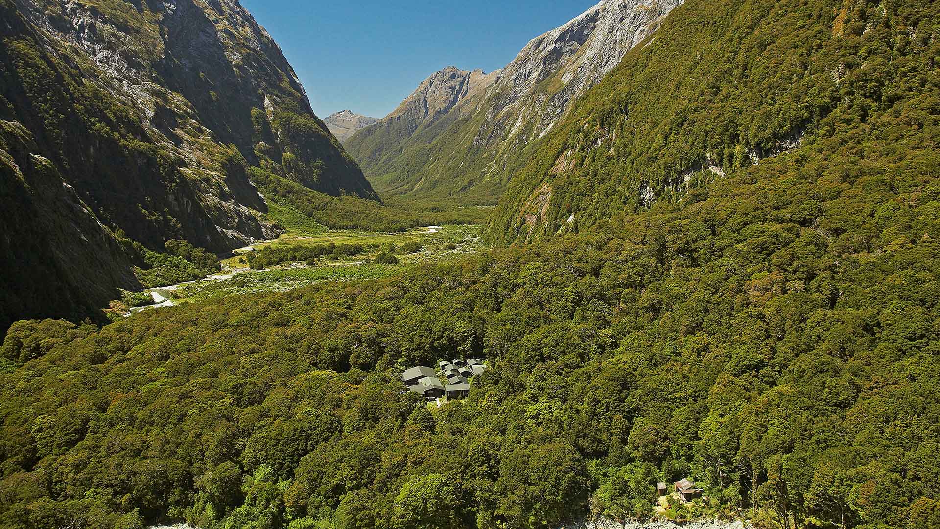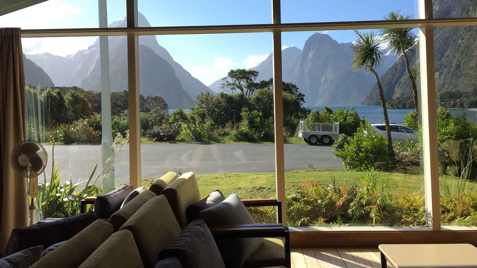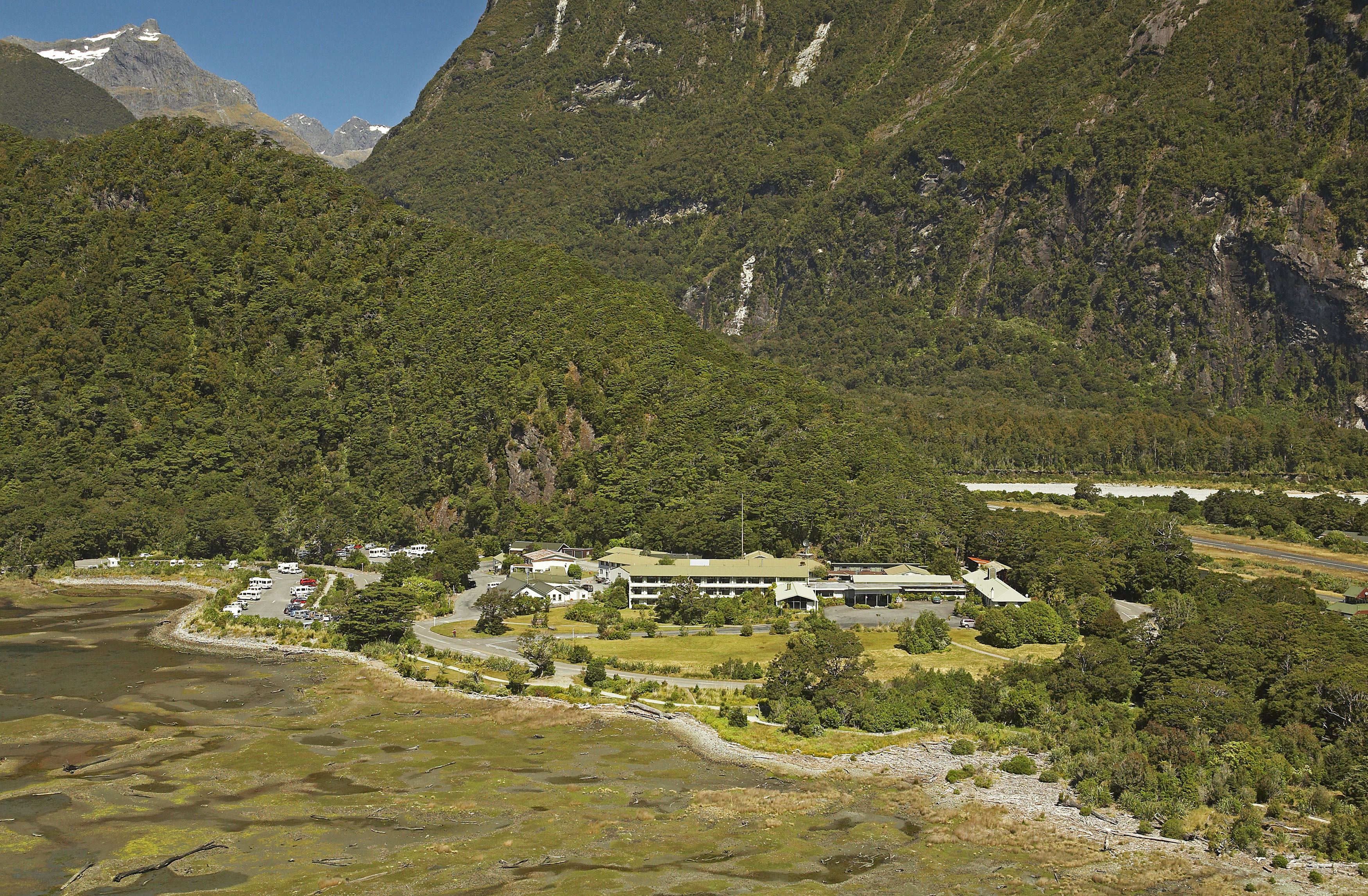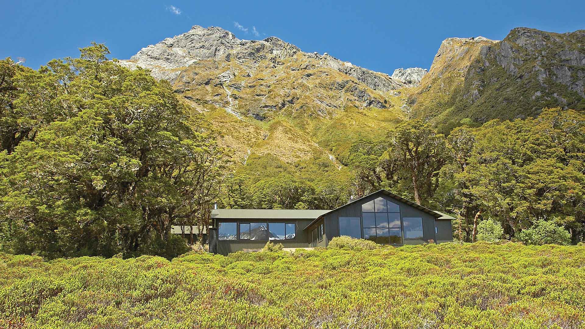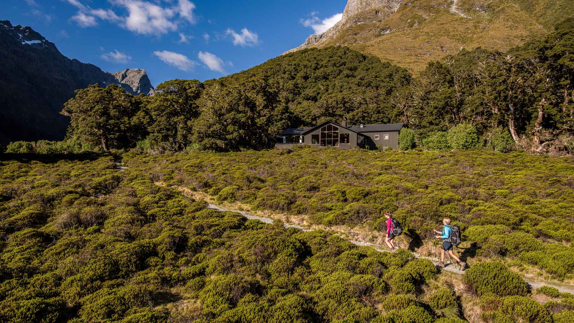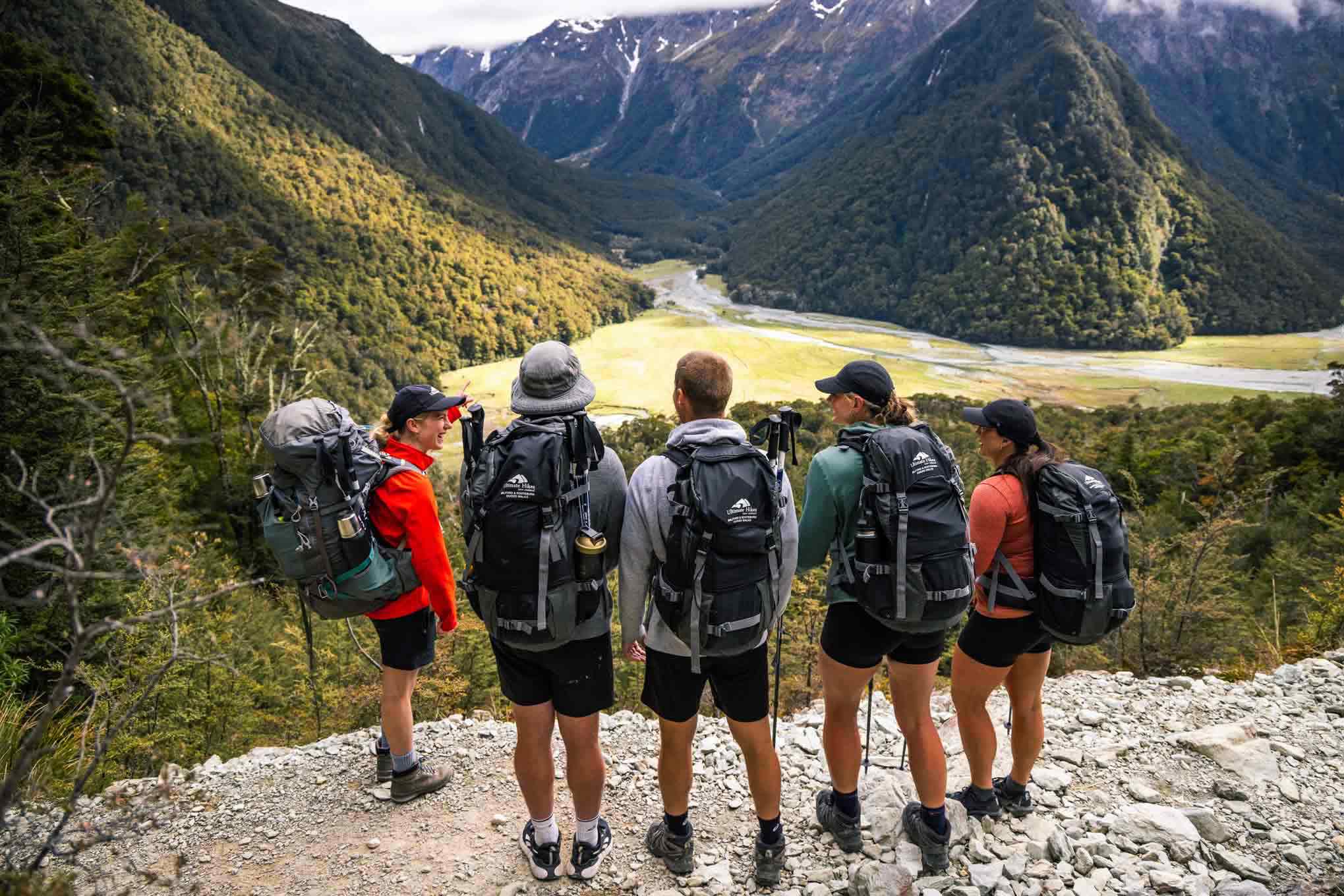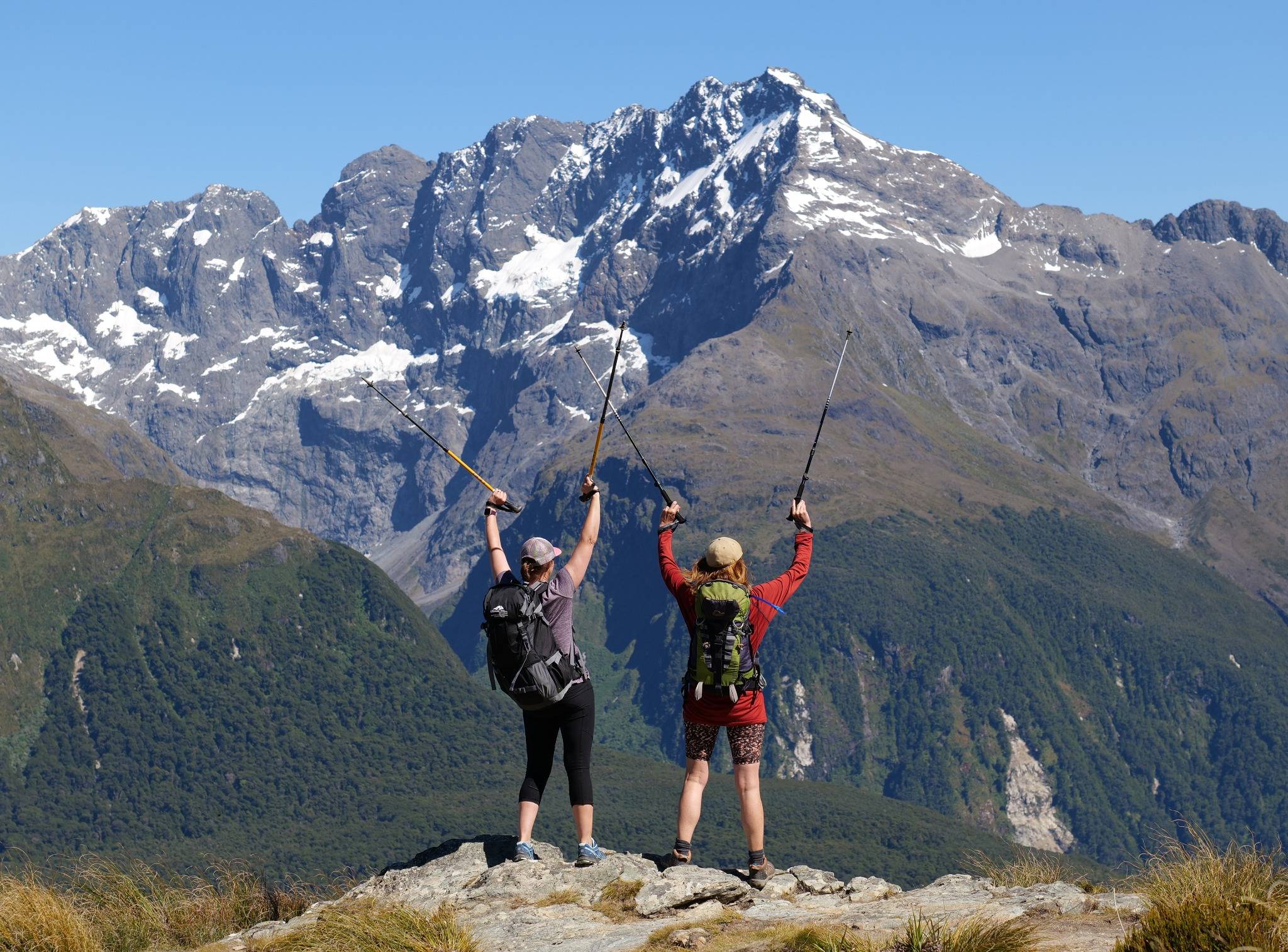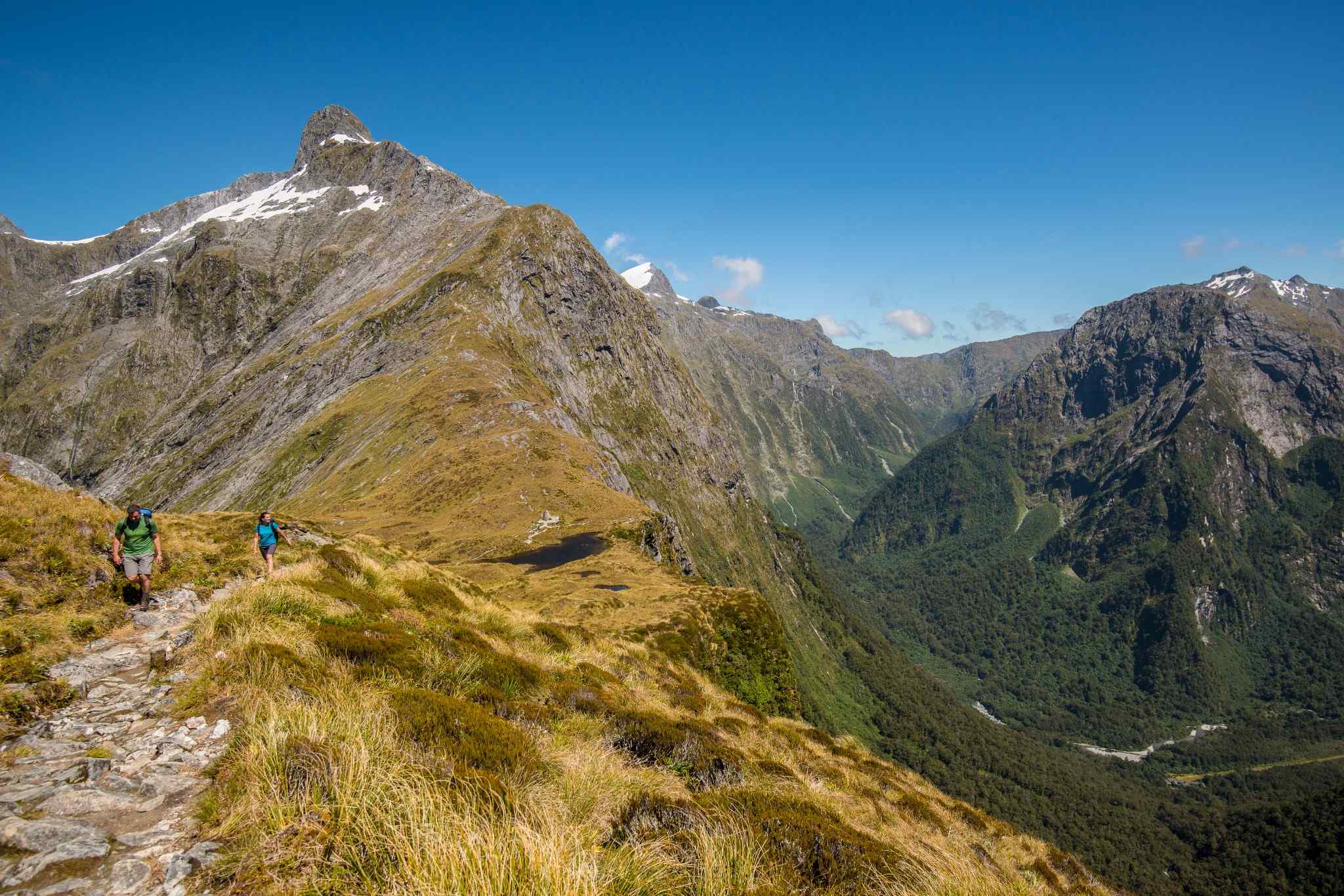
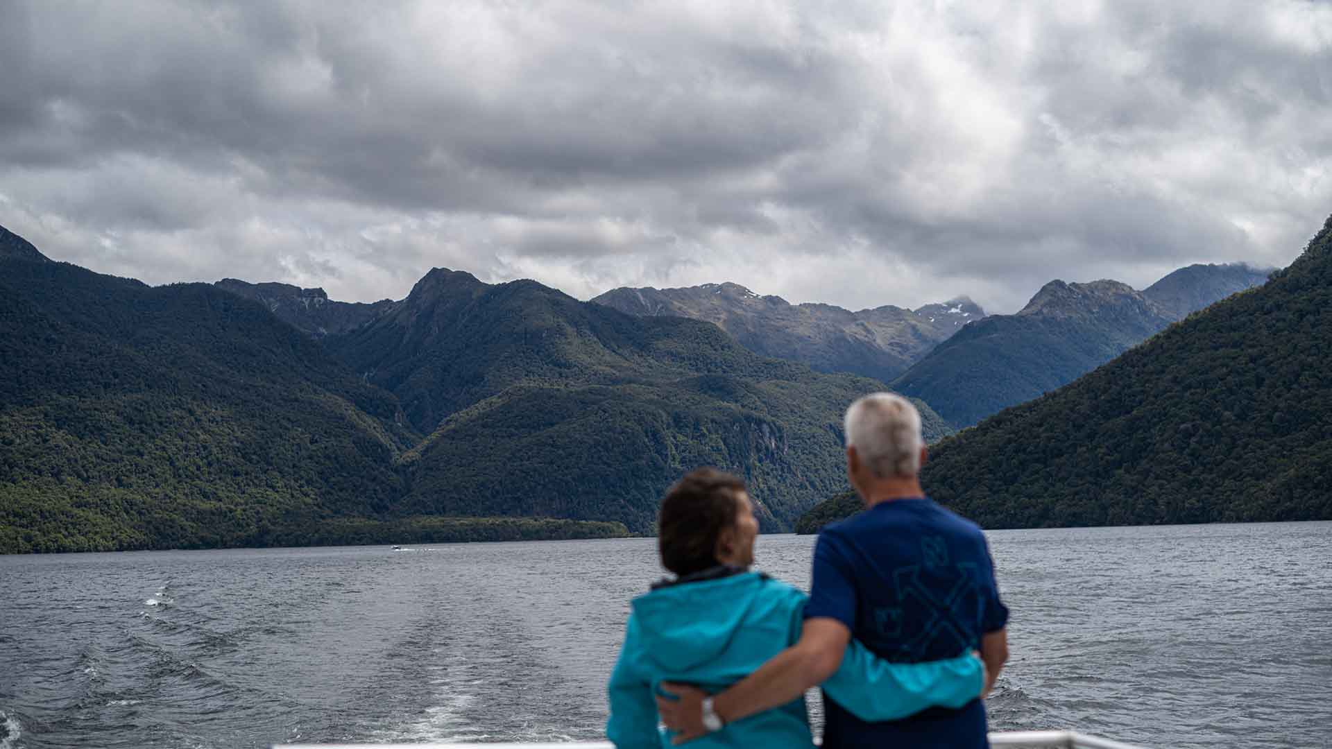
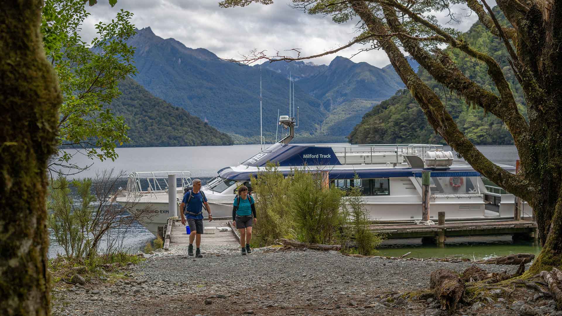
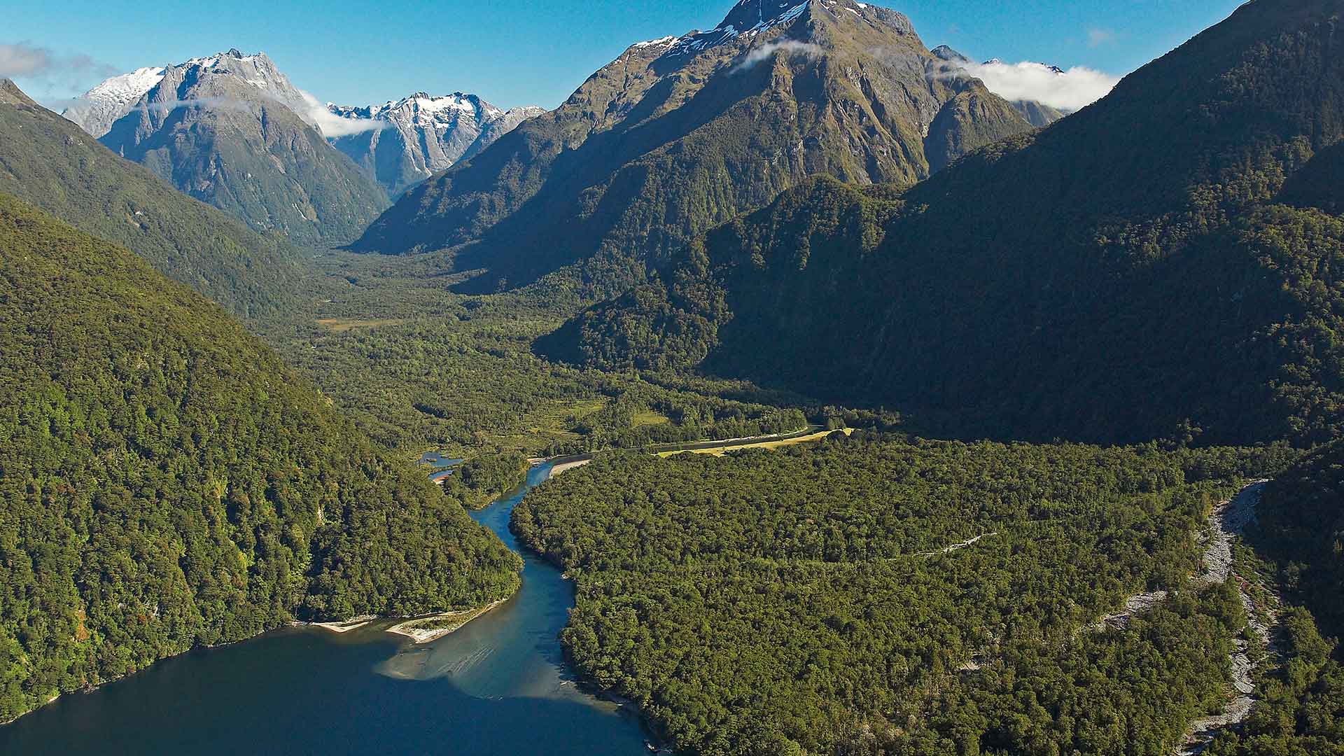
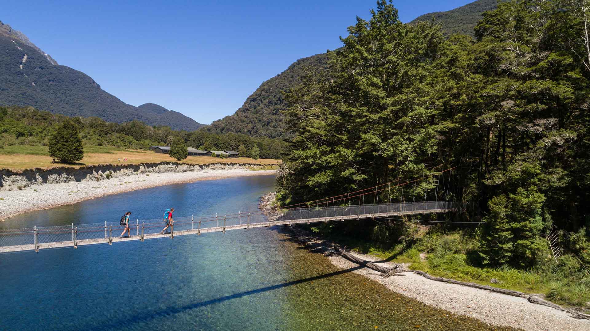
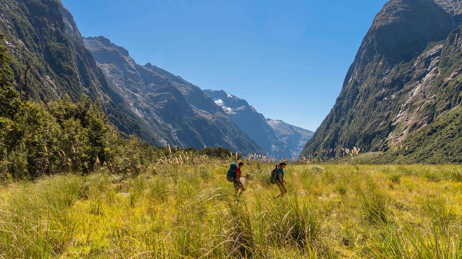
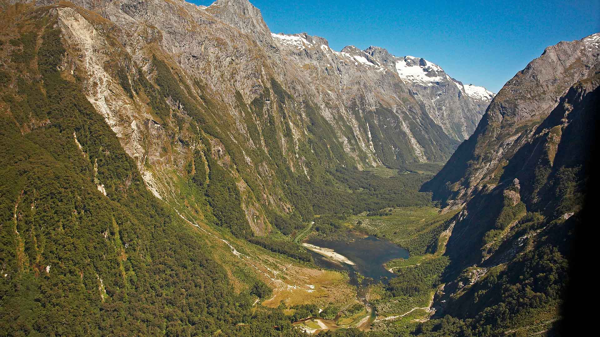
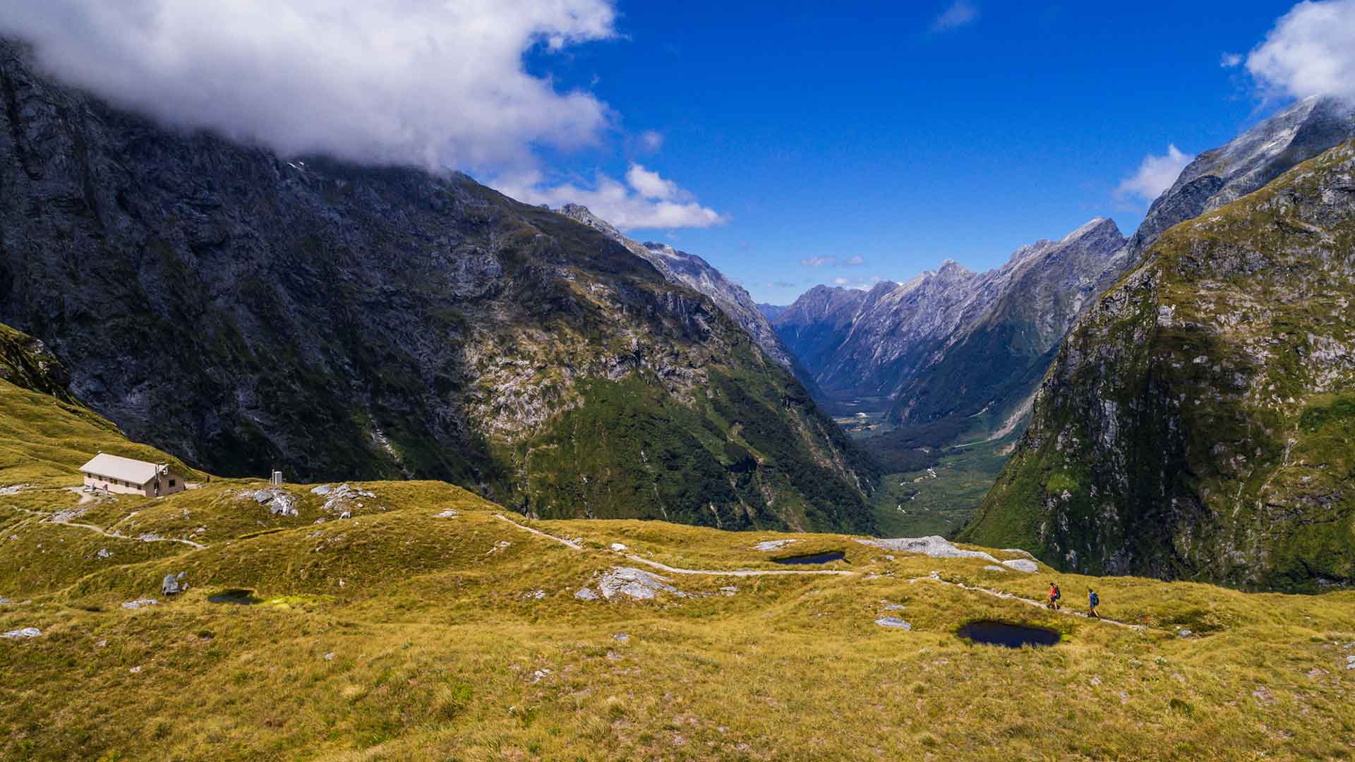
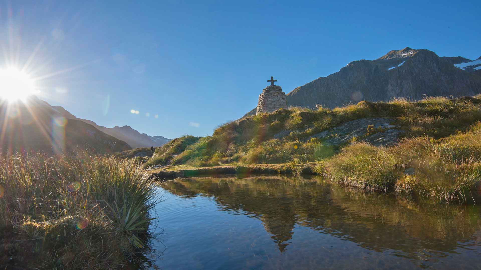
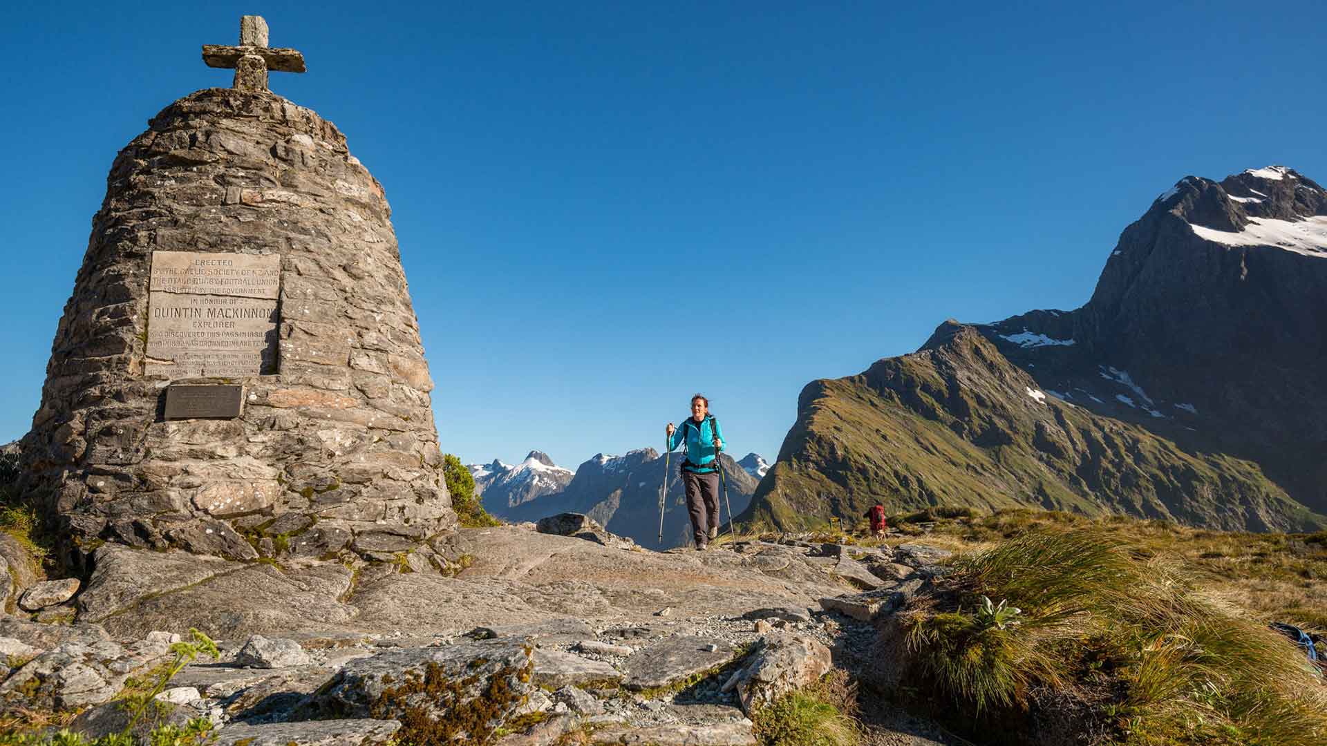
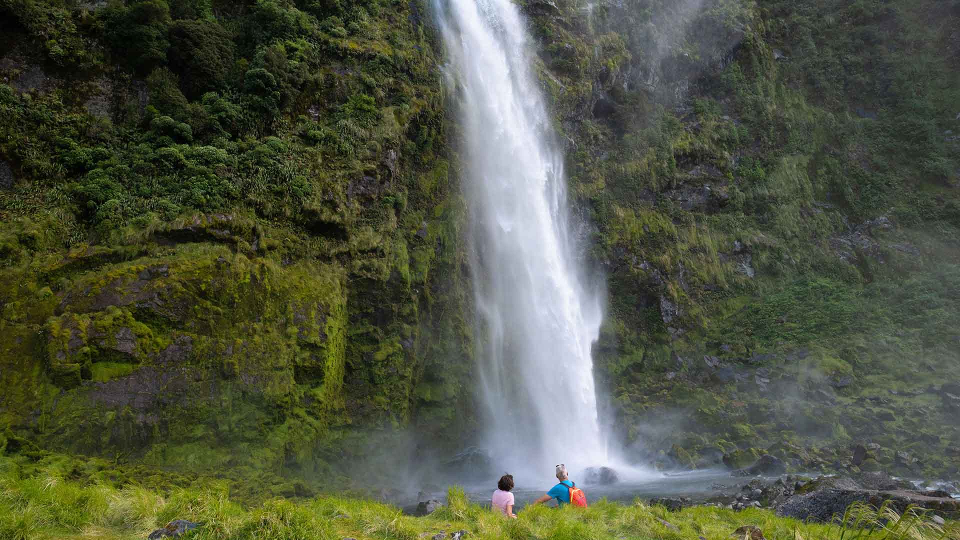
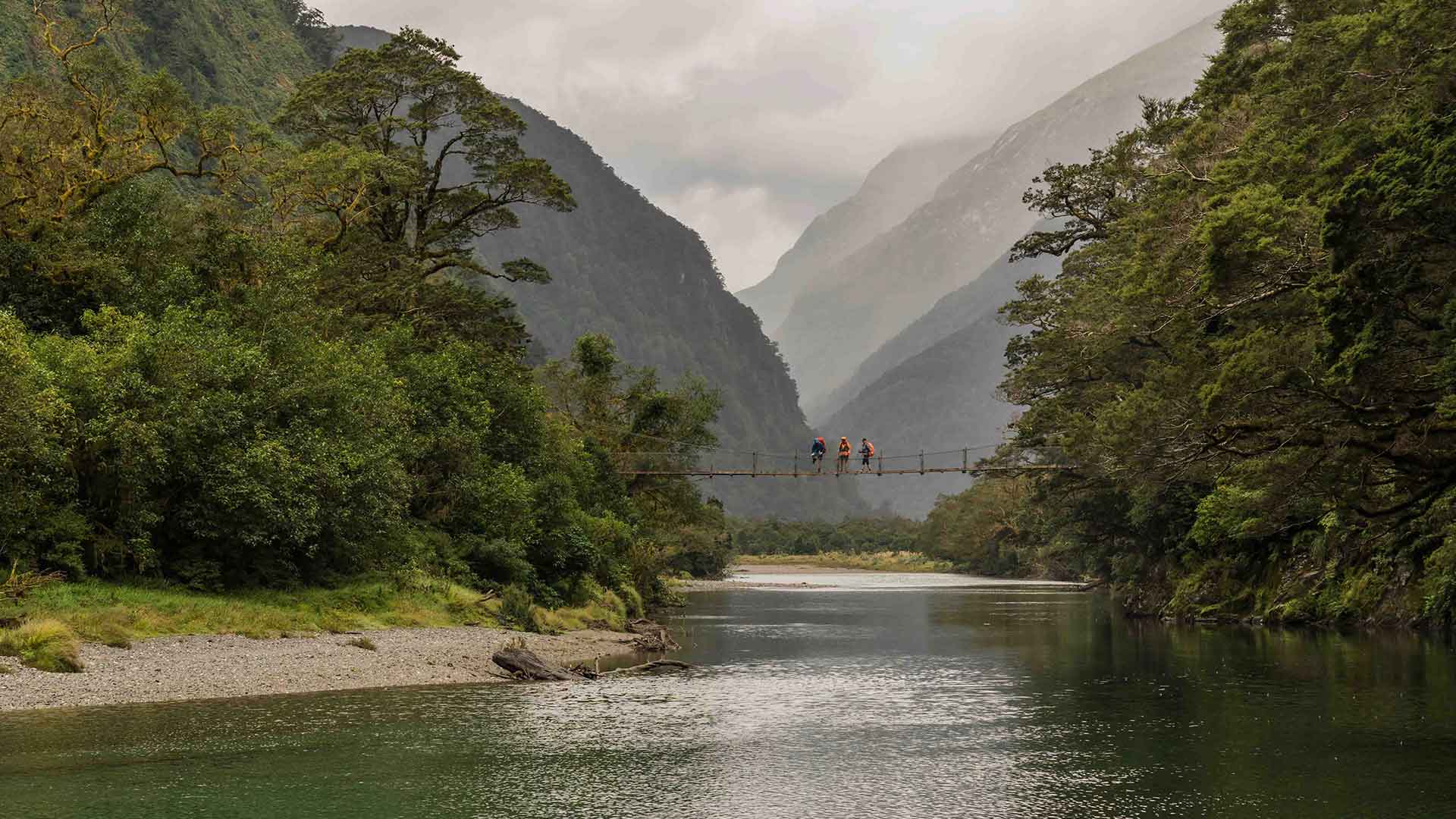
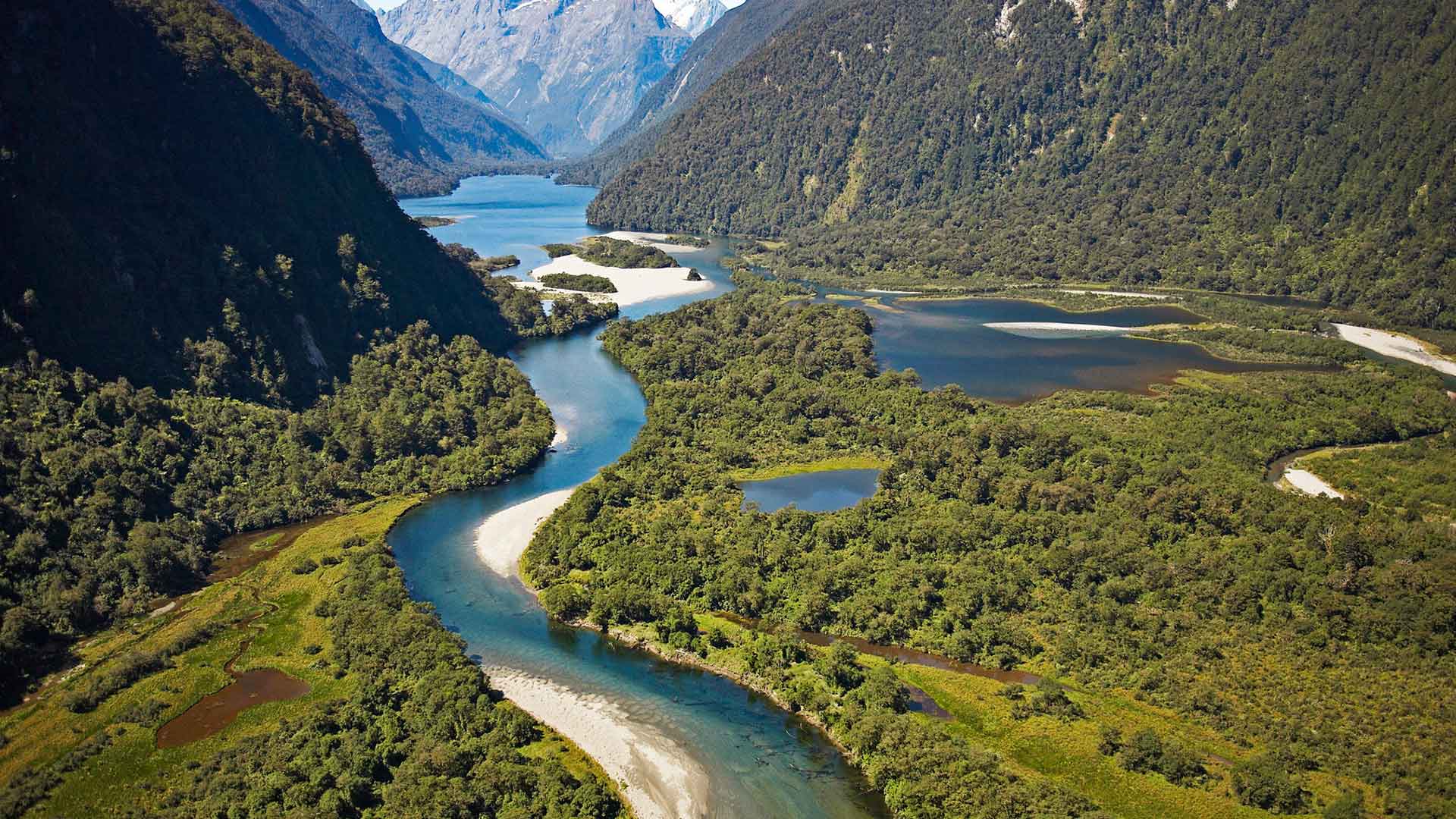
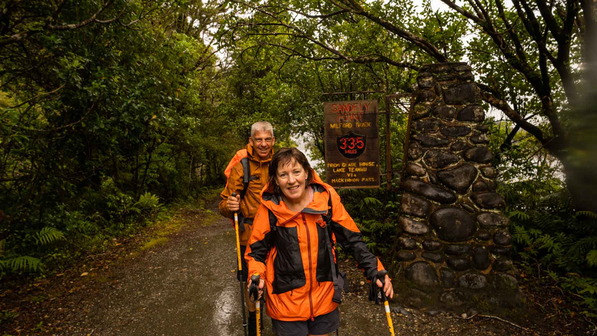
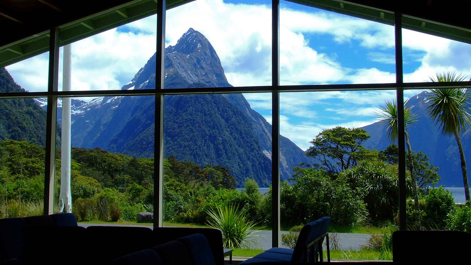
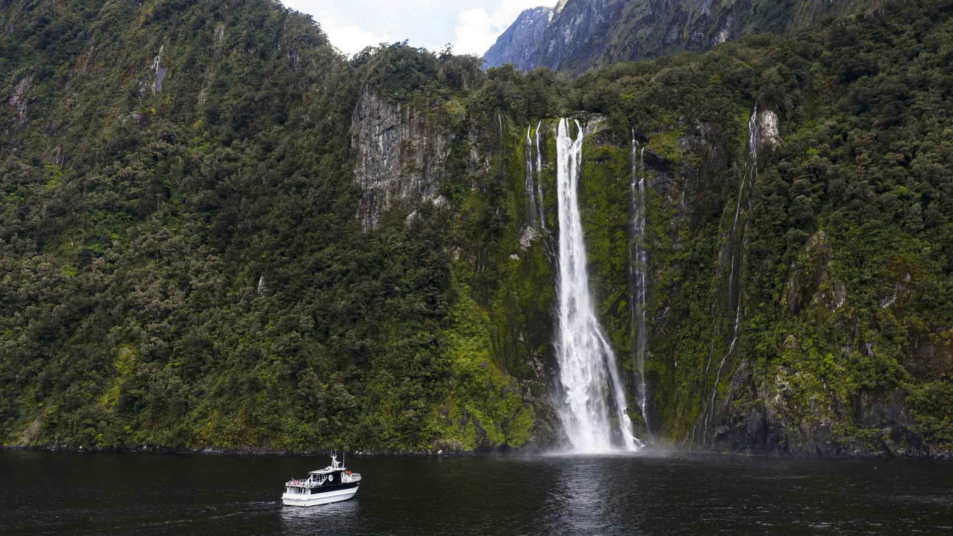
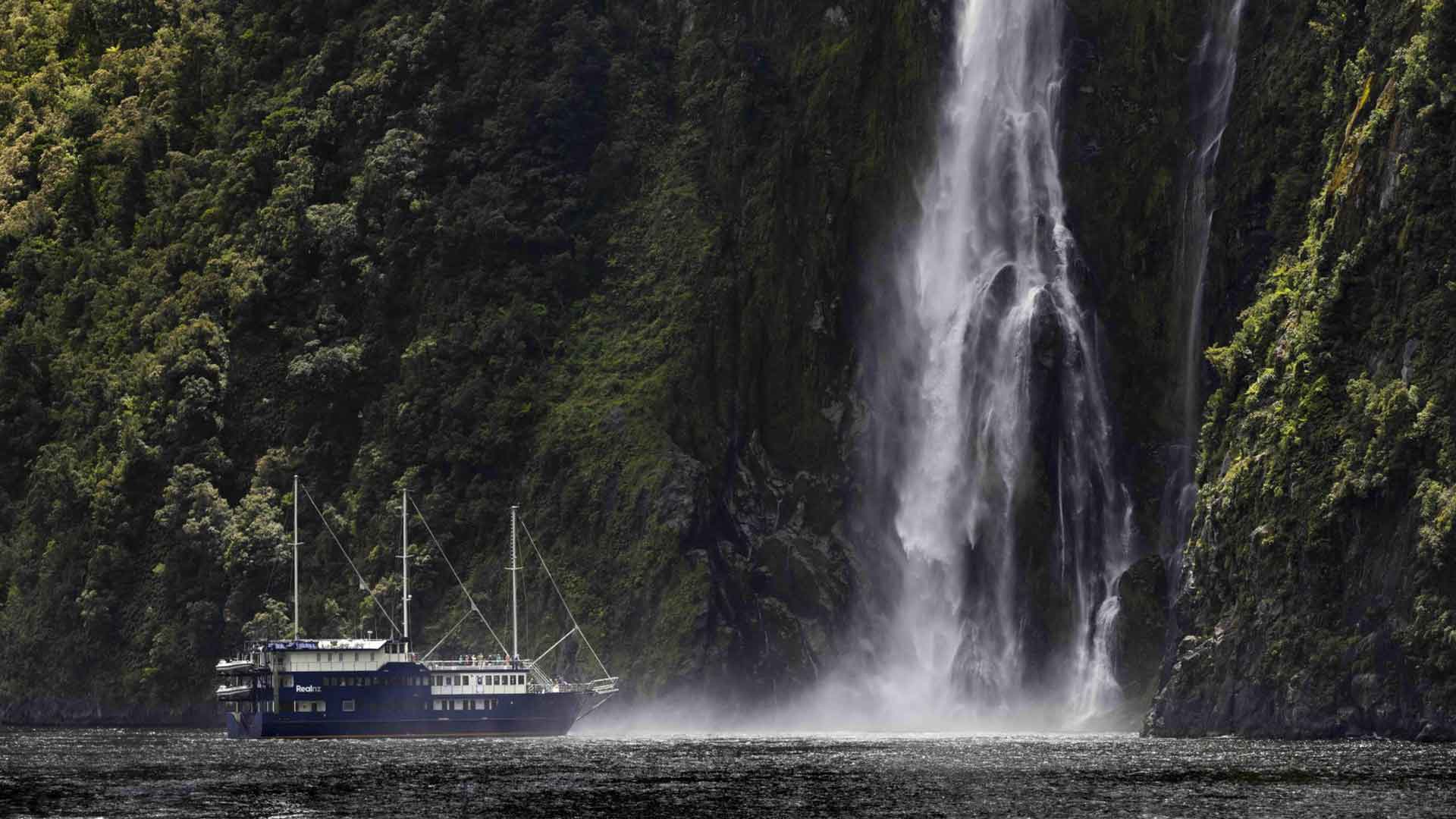
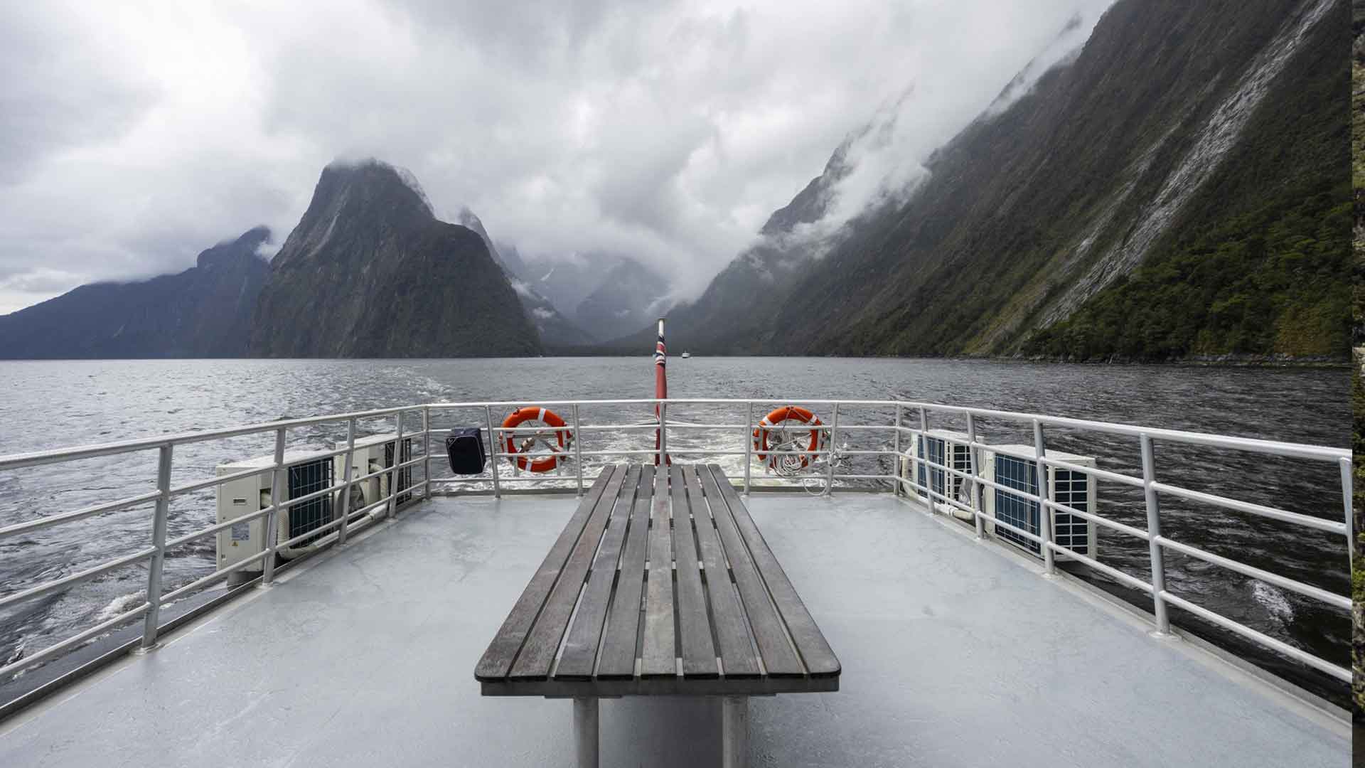
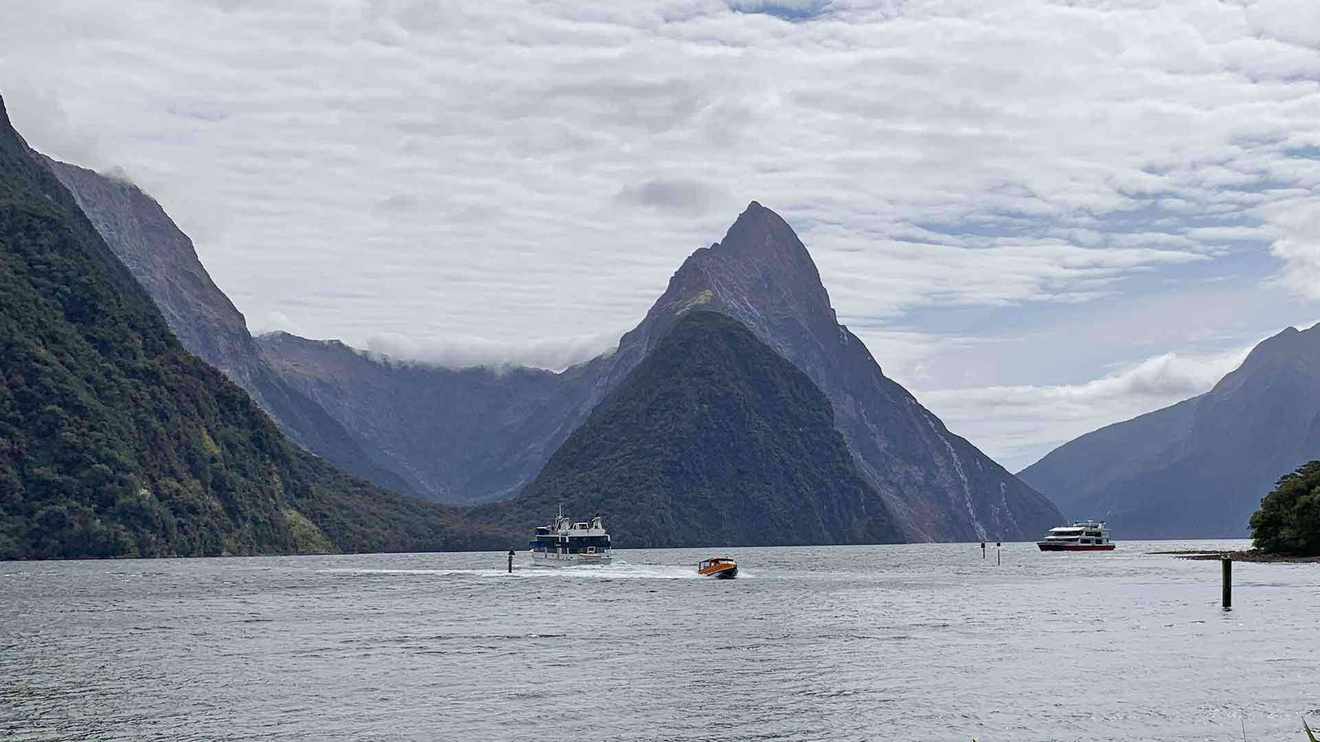
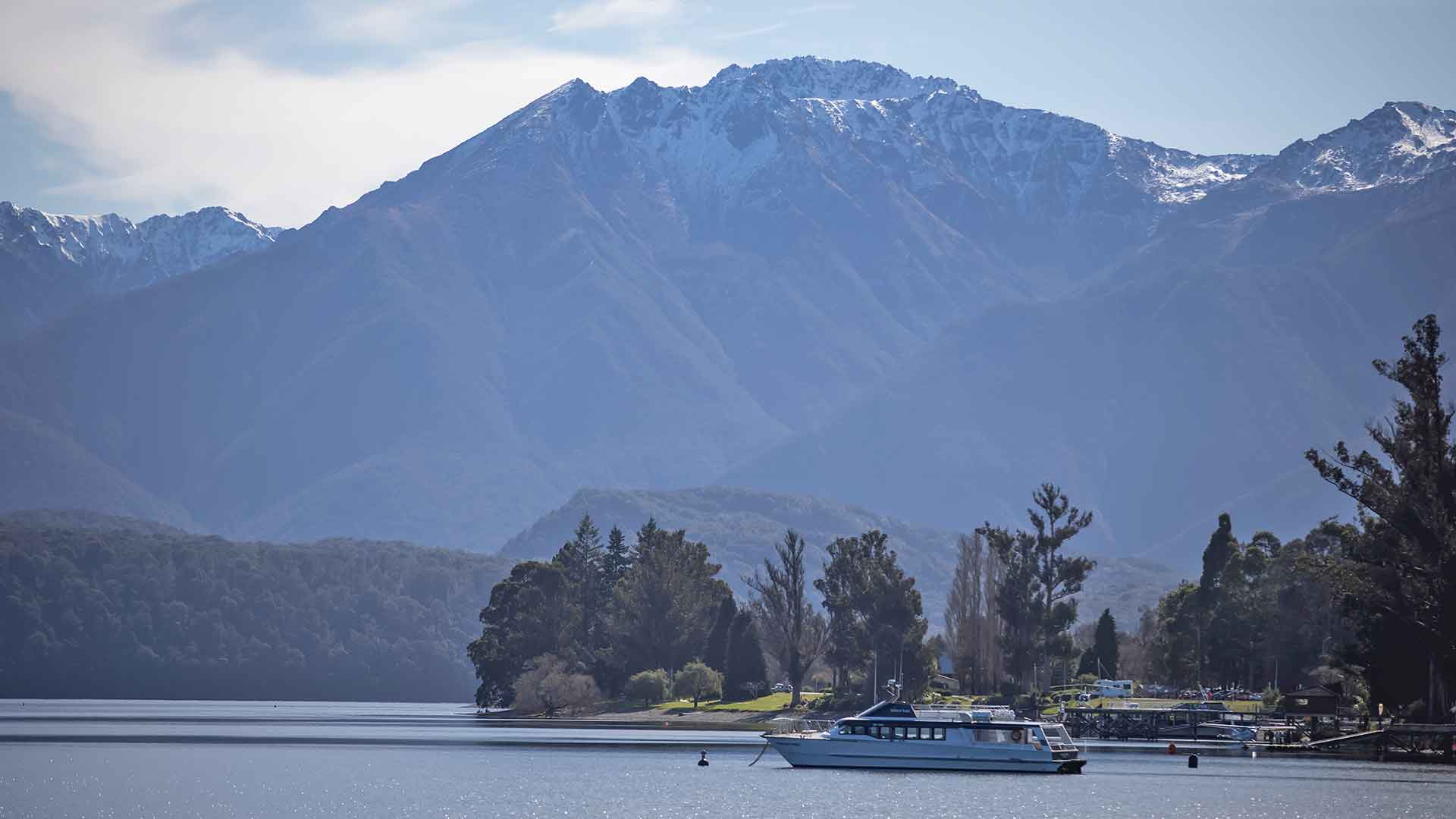
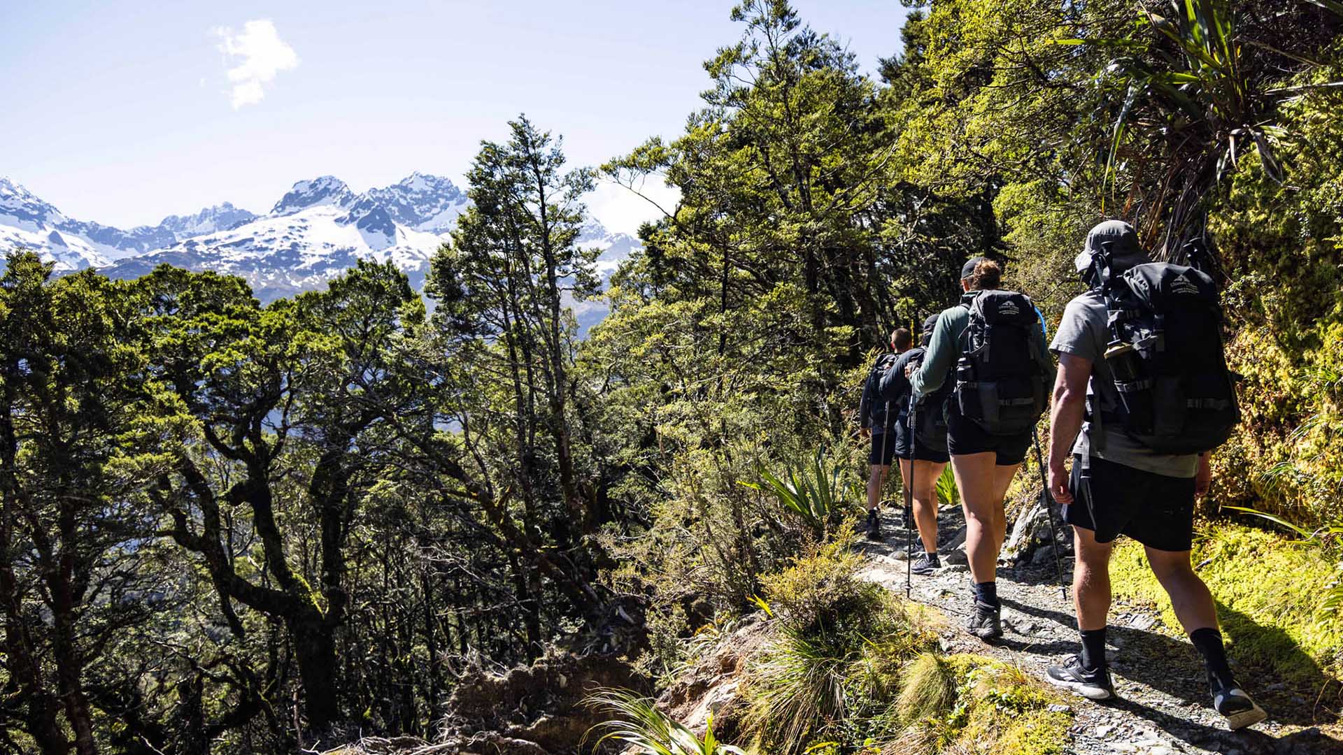
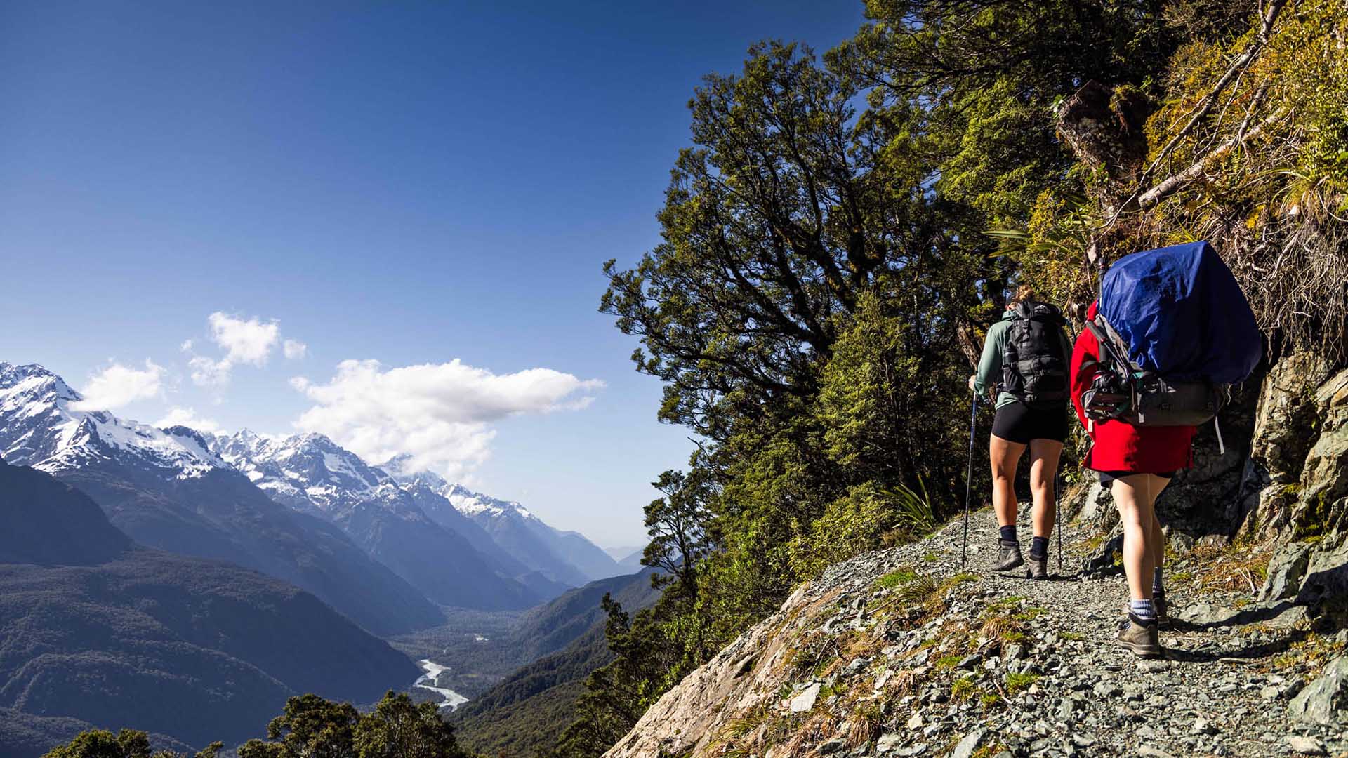
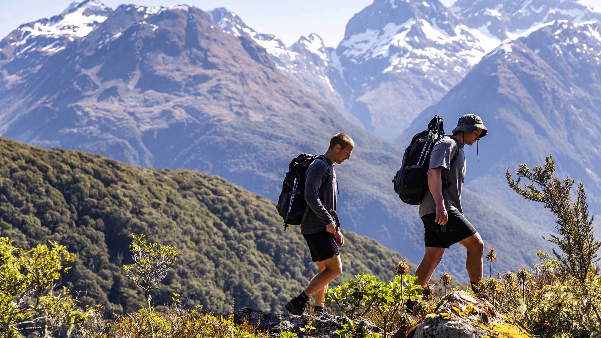
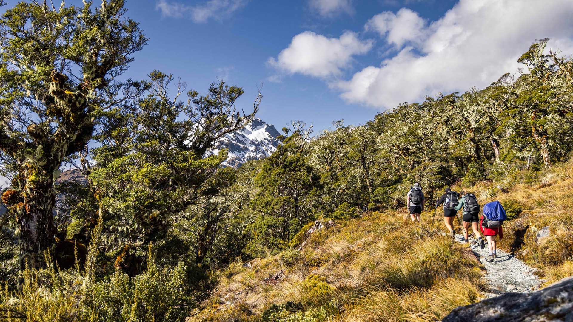
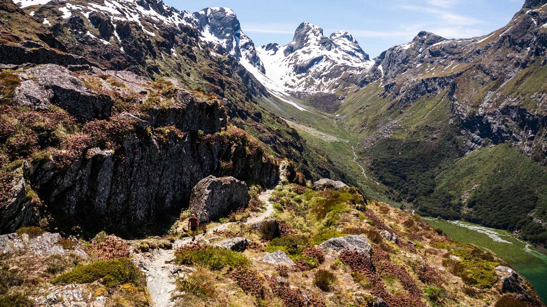
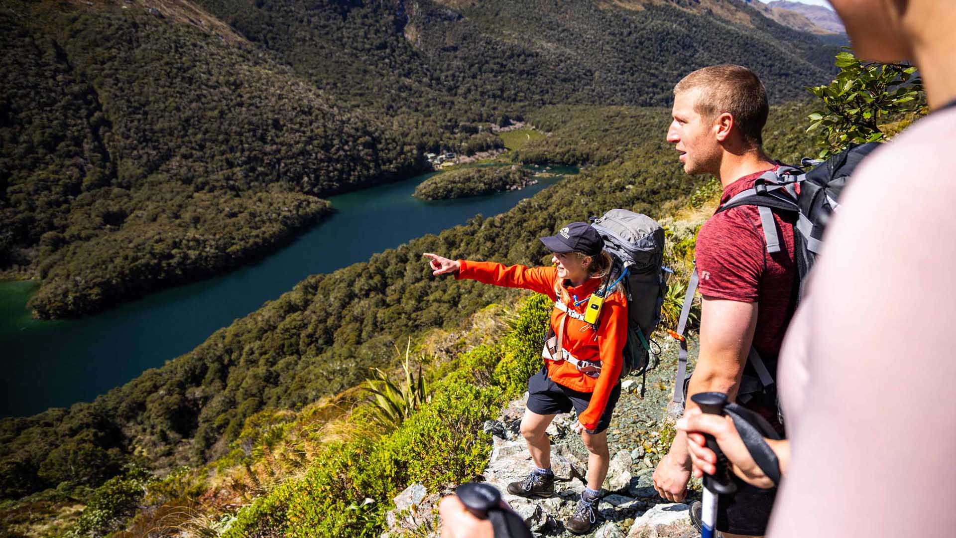
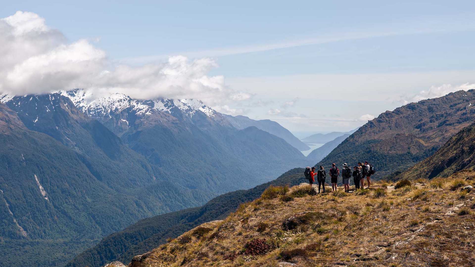
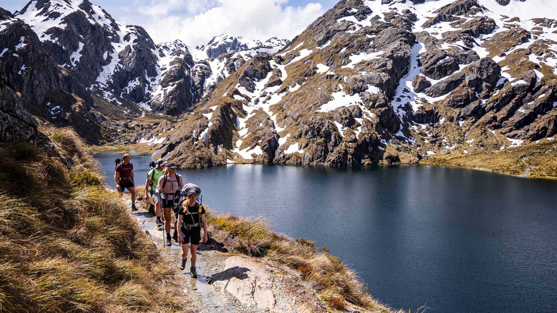
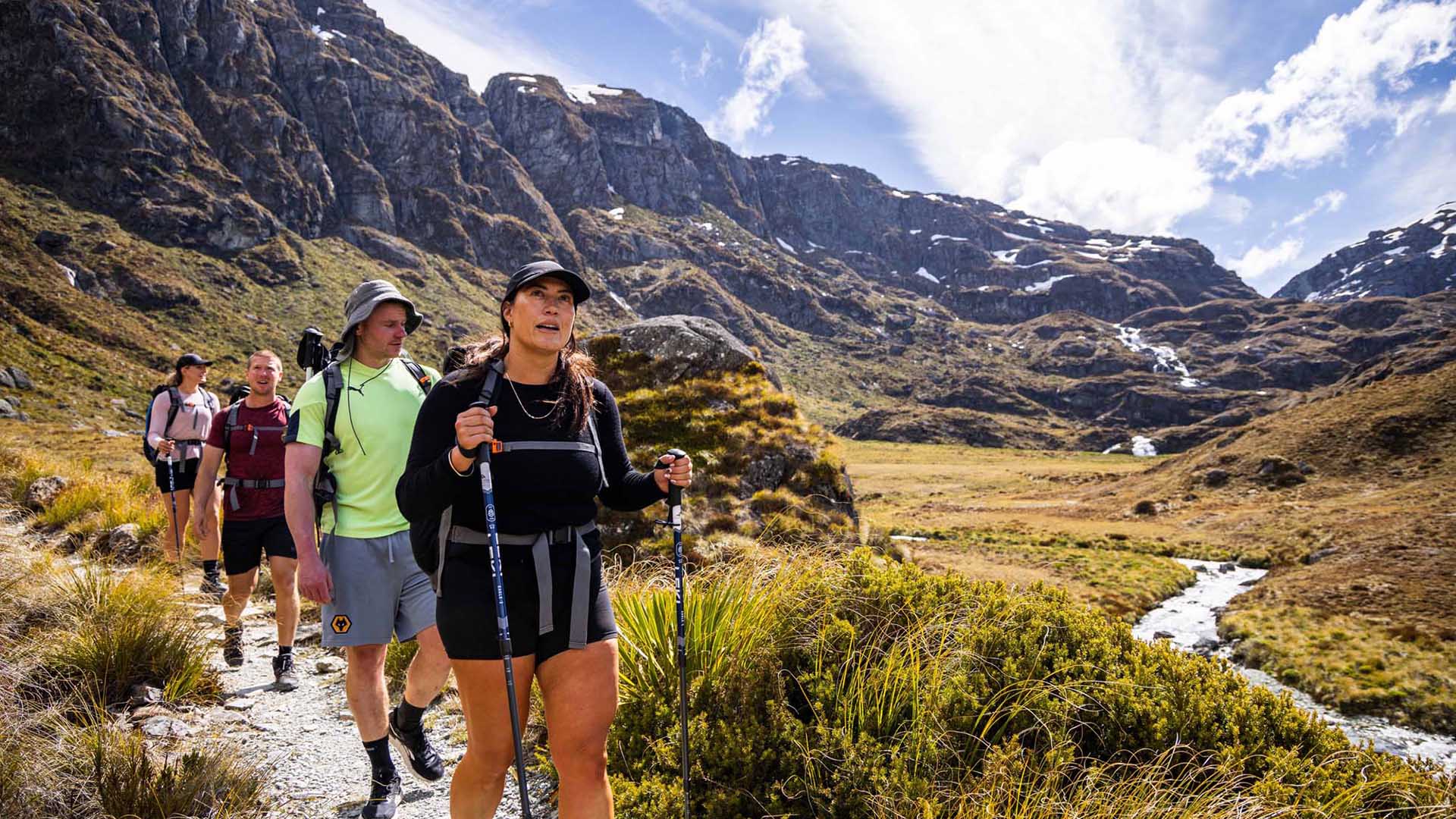
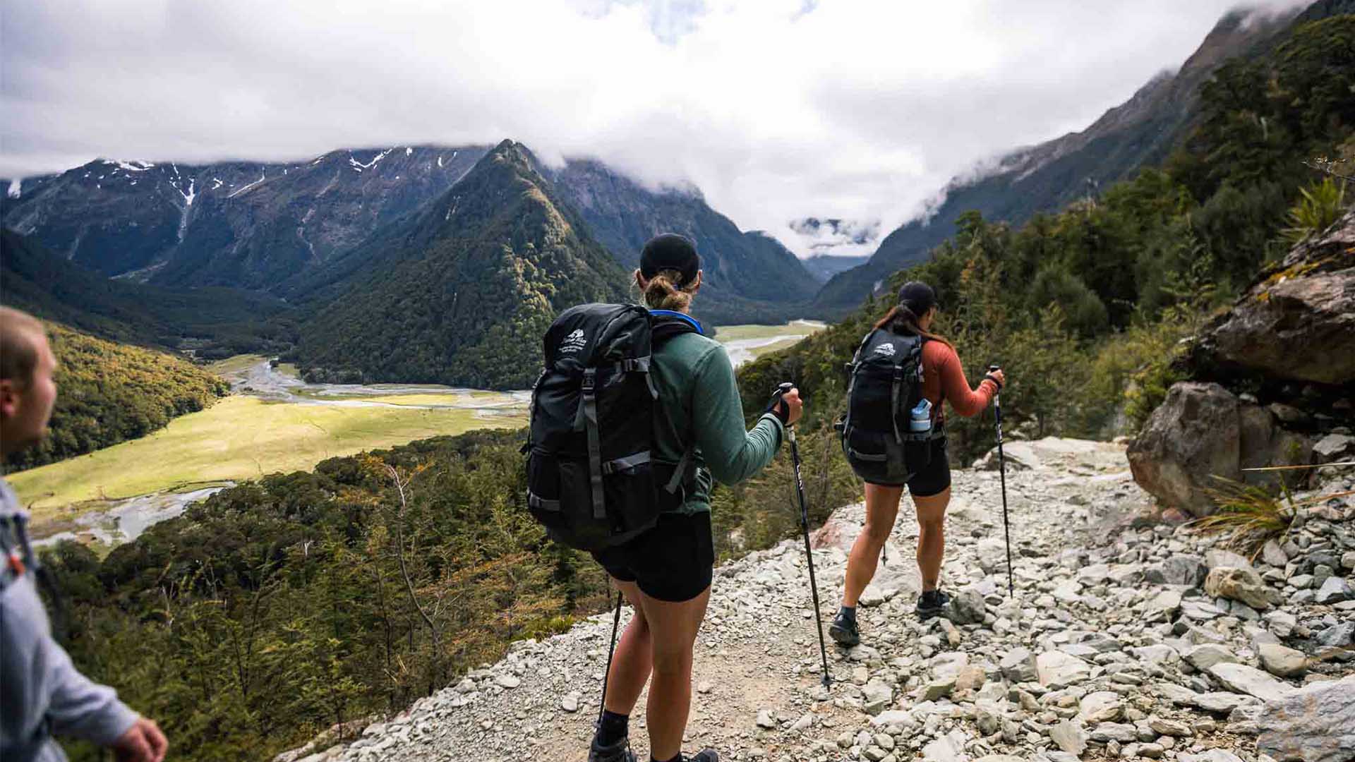
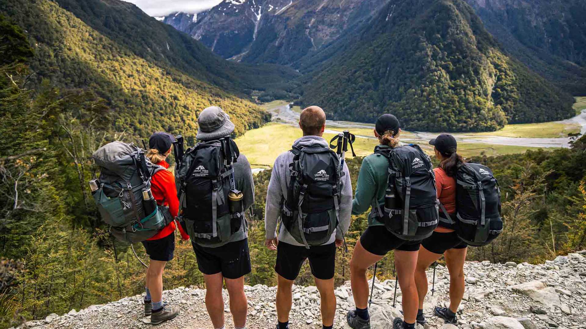
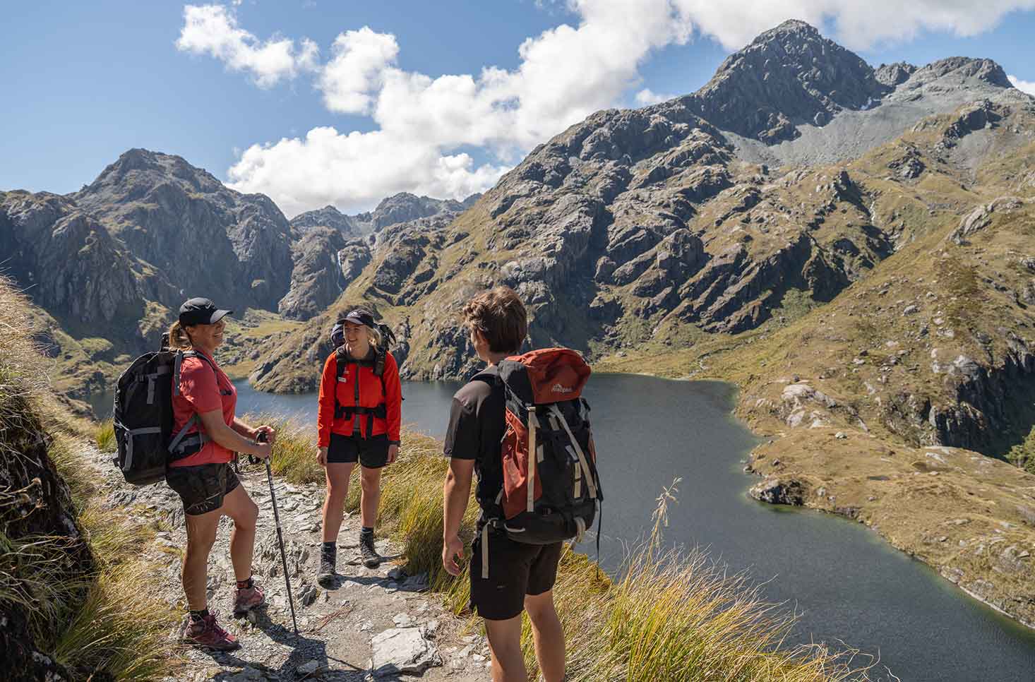
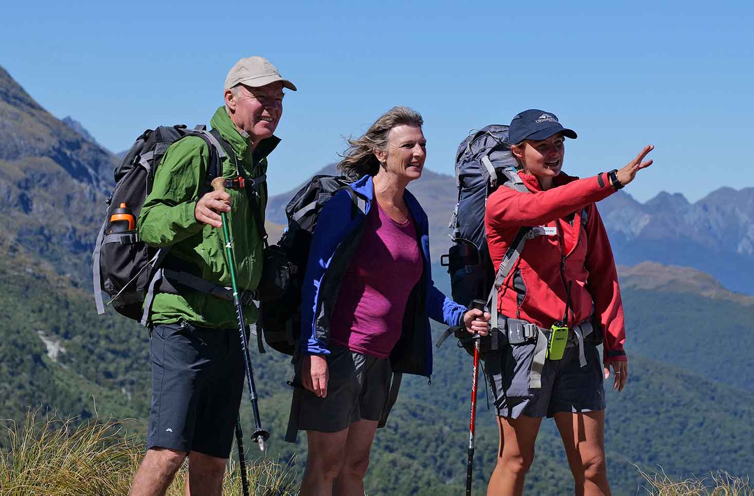
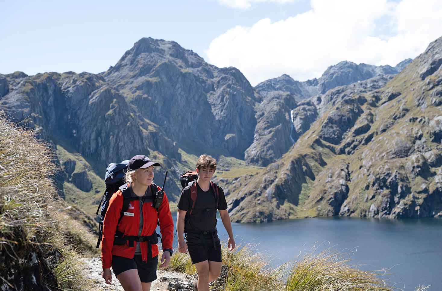
The Classic is the ultimate way to experience New Zealand’s most famous Great Walks. Combining the Milford and Routeburn Tracks, it takes you through the heart of Fiordland and Mt Aspiring National Parks, from the still waters of Lake Te Anau to the alpine vistas of the Routeburn Valley.
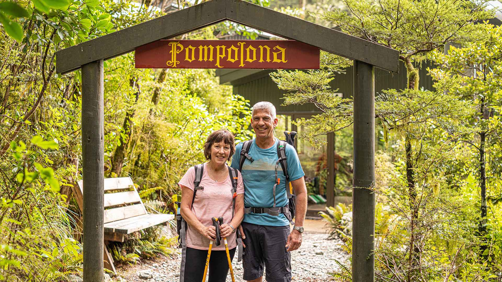
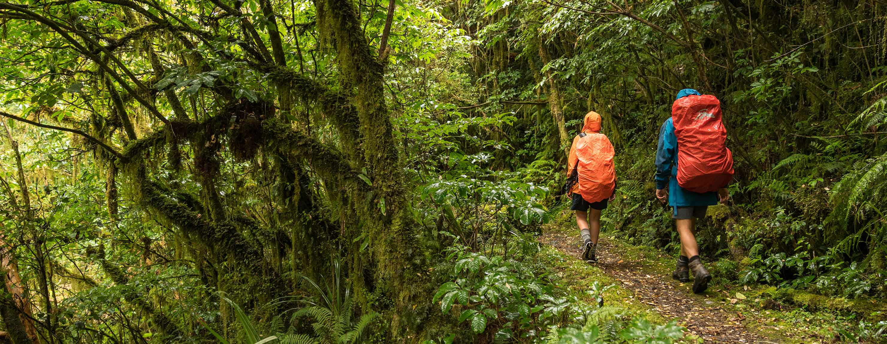
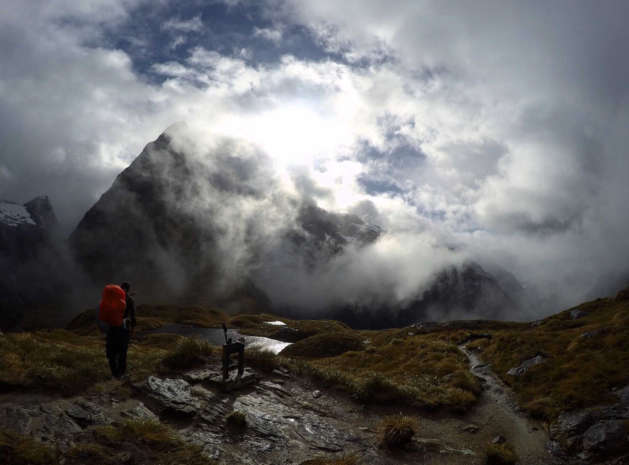
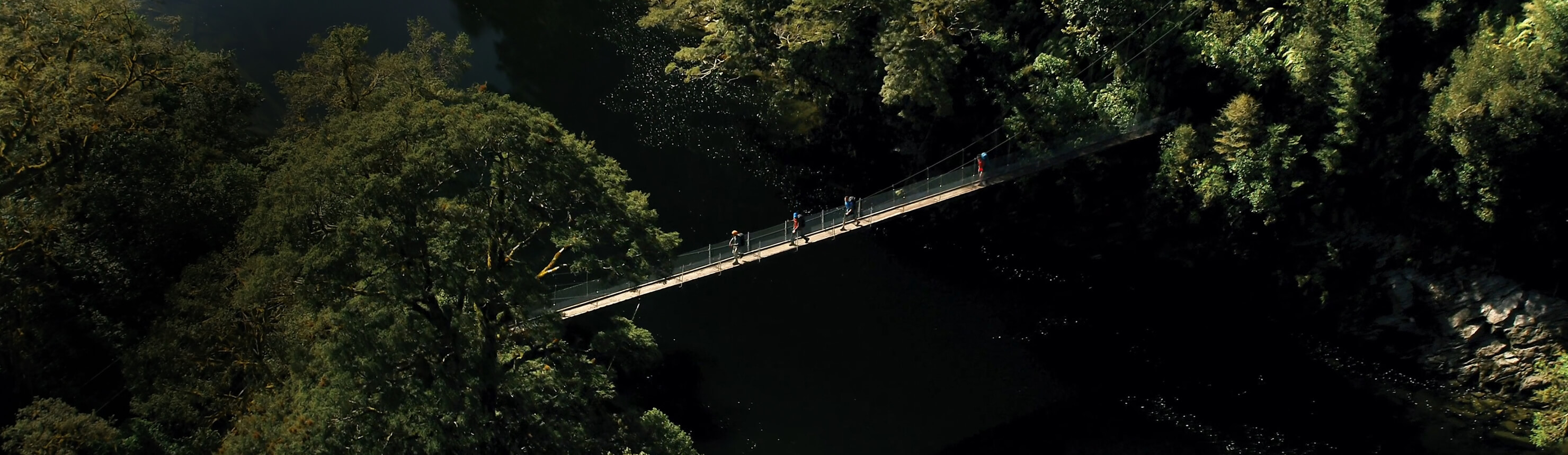
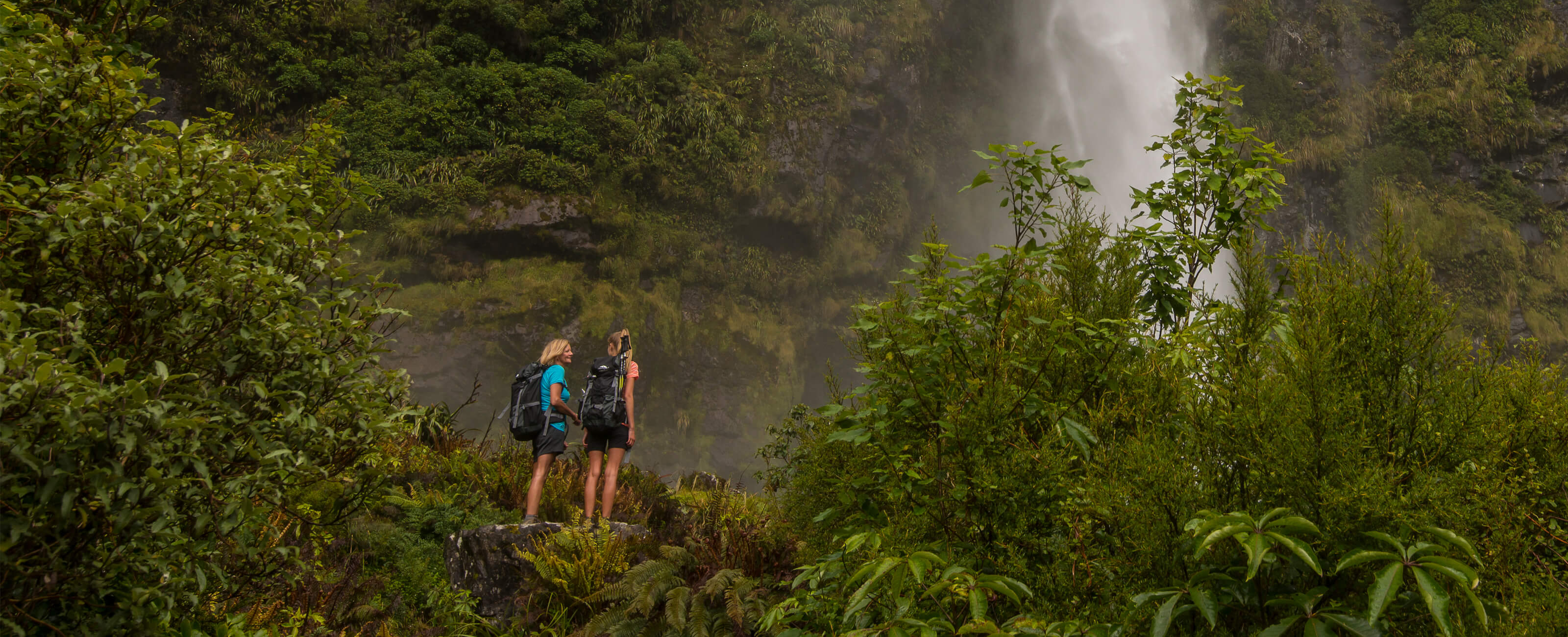
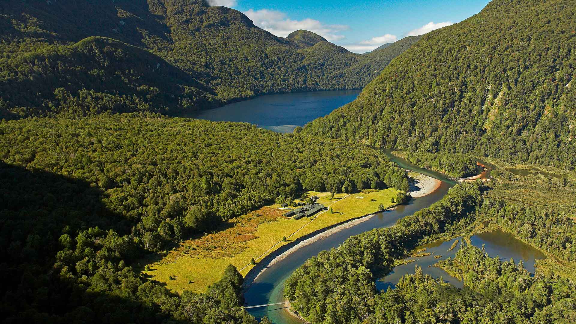
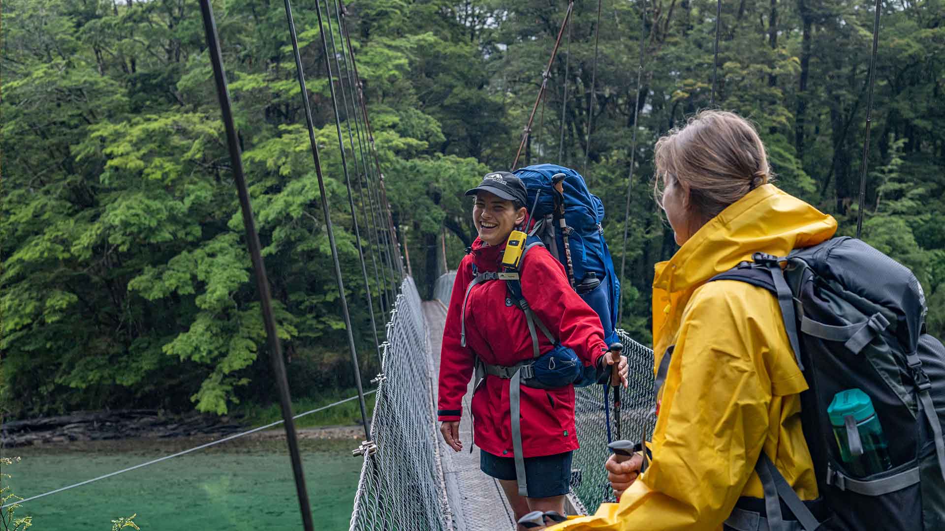
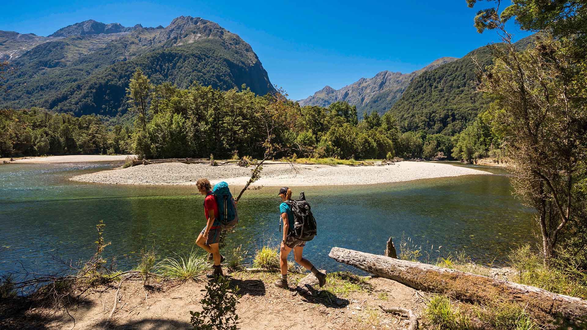
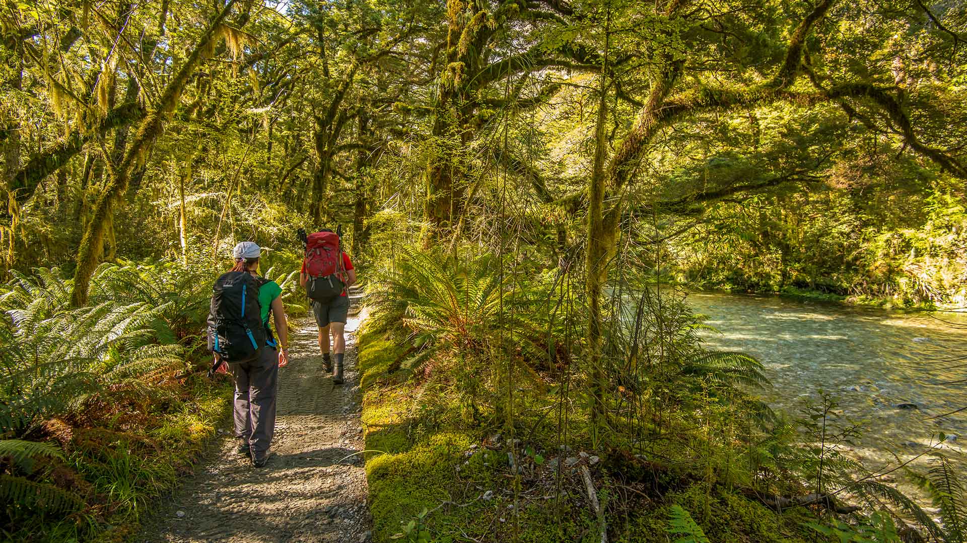
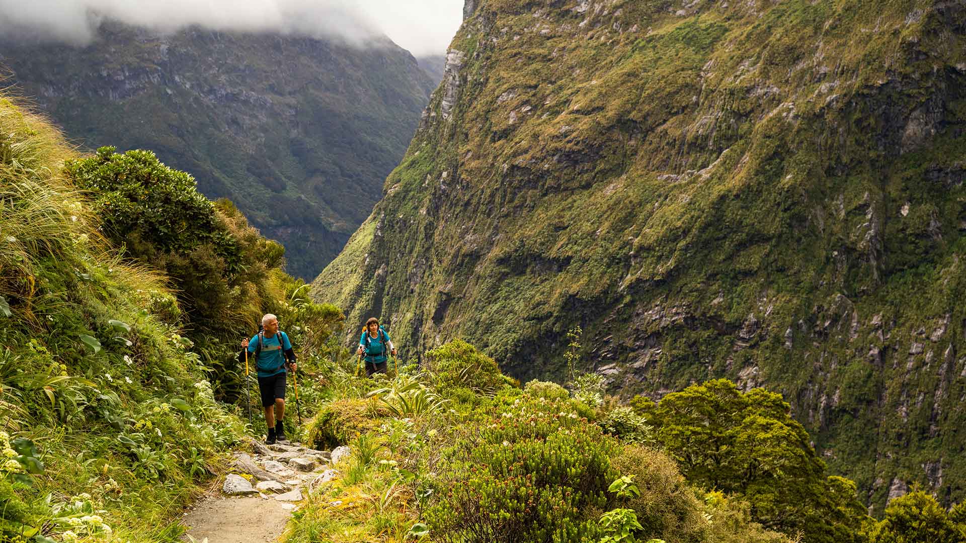
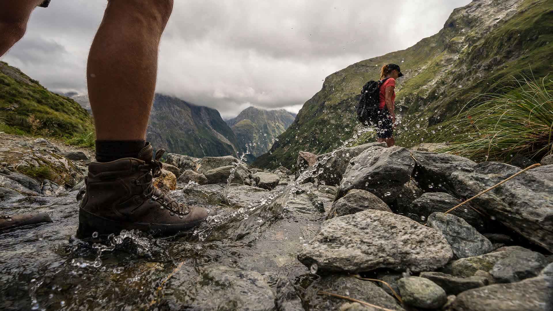
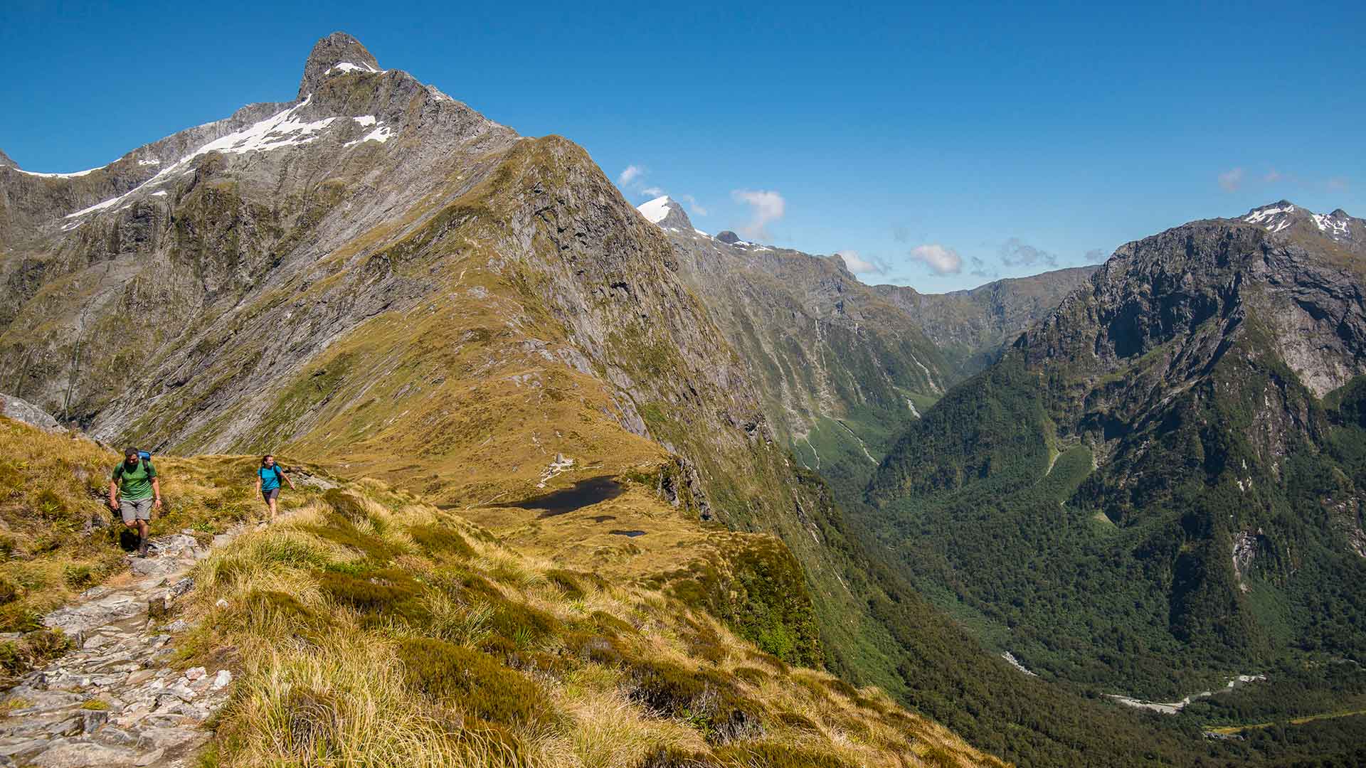
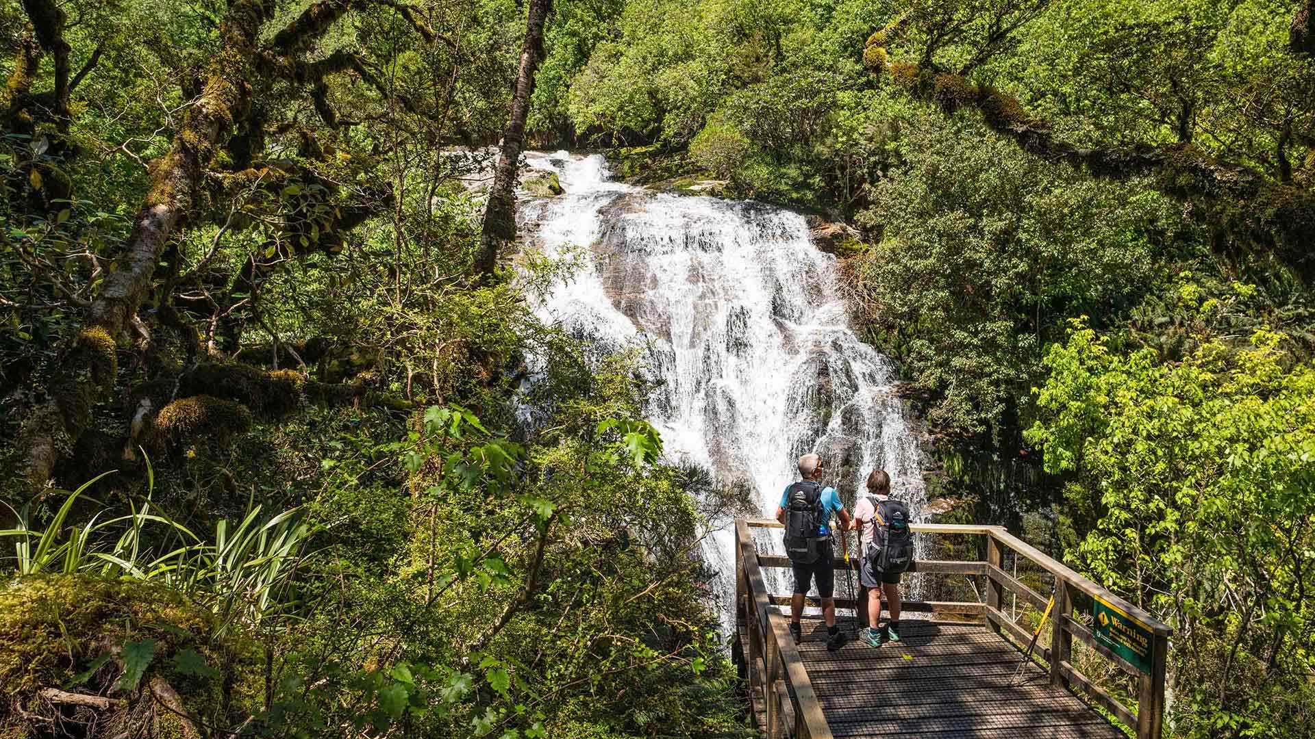
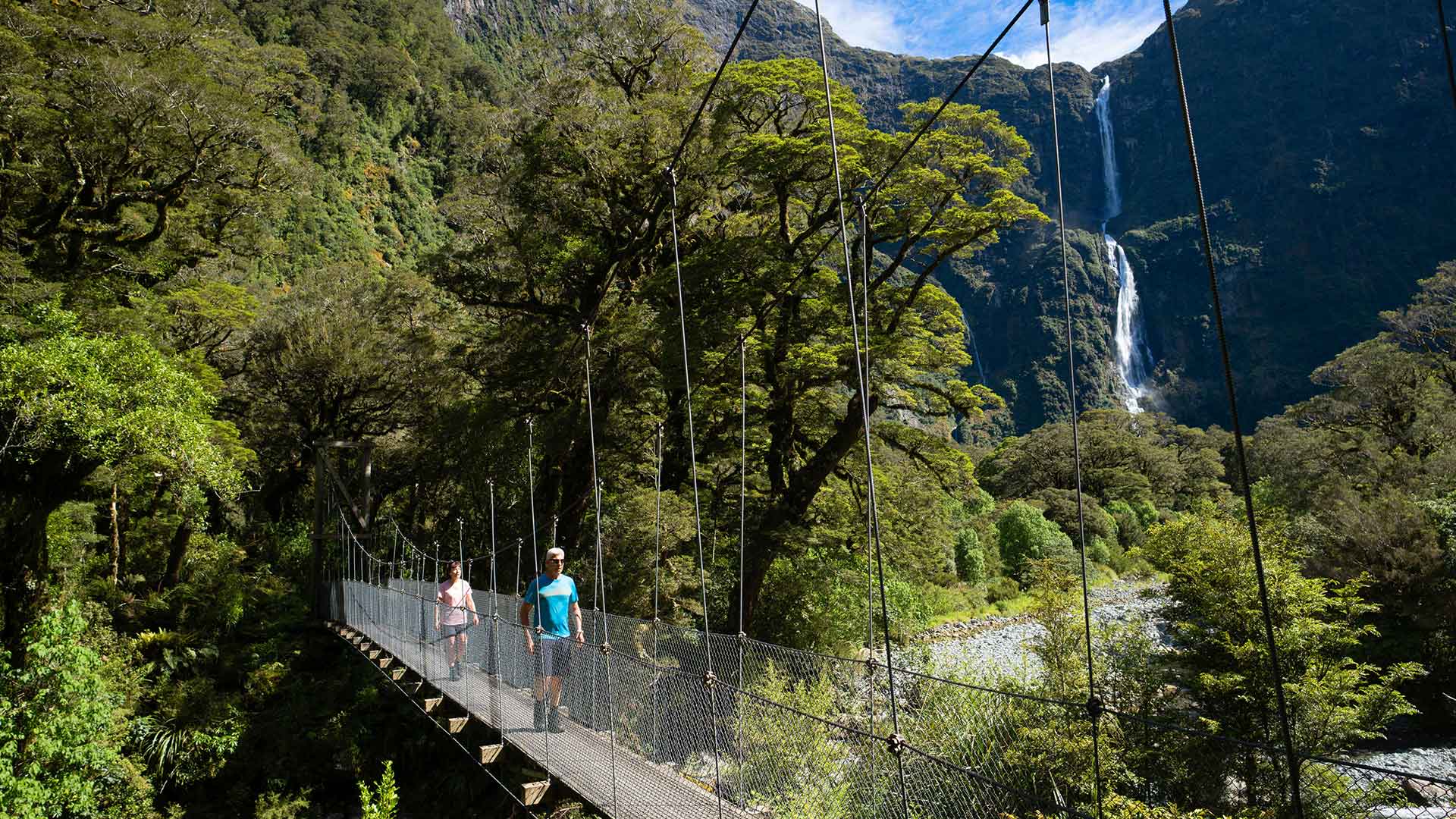
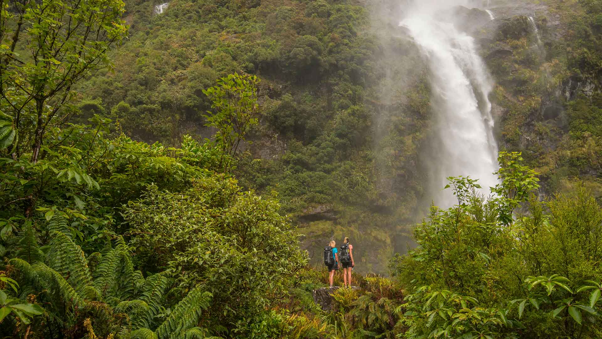
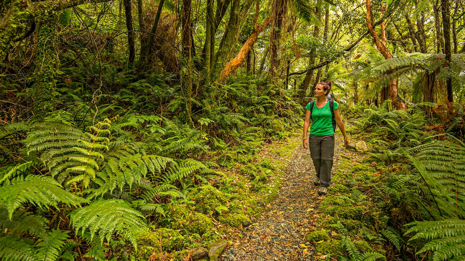
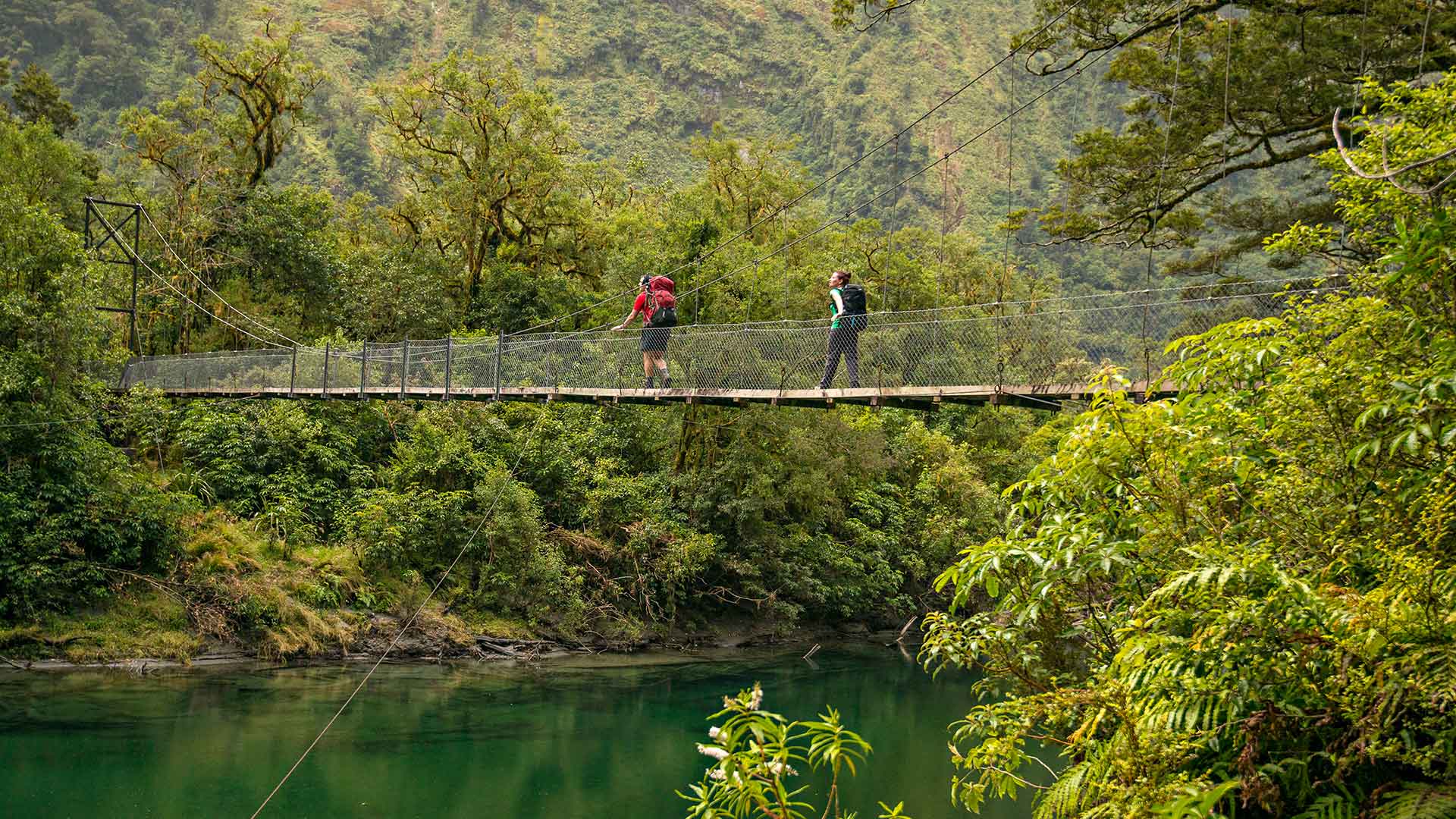
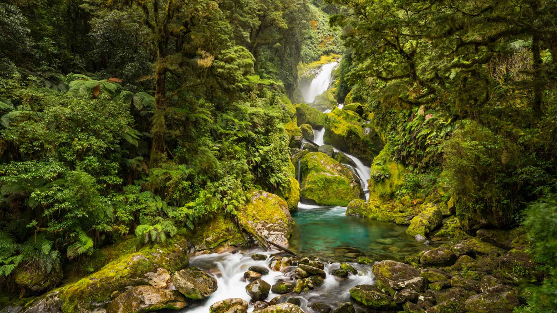
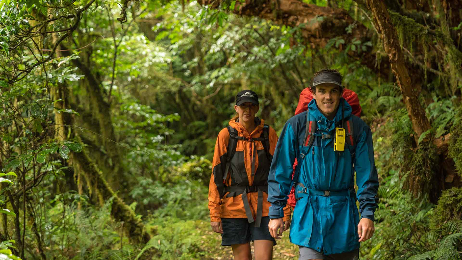
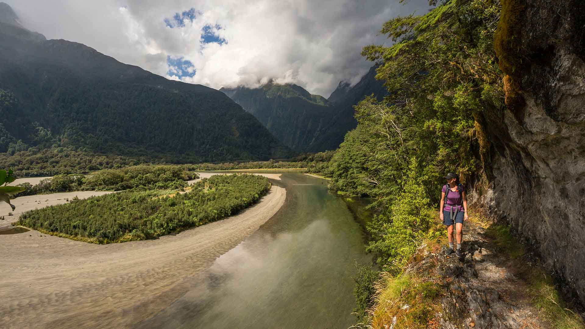
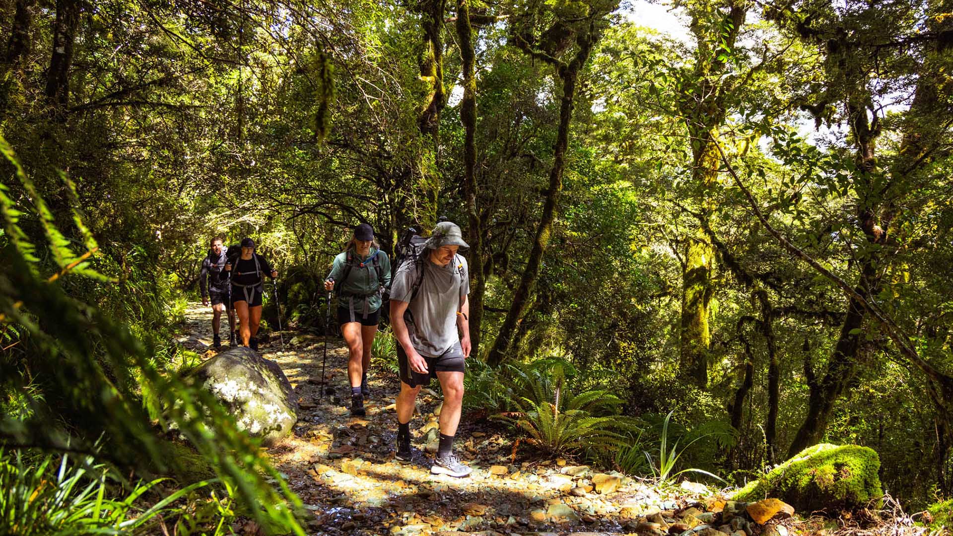
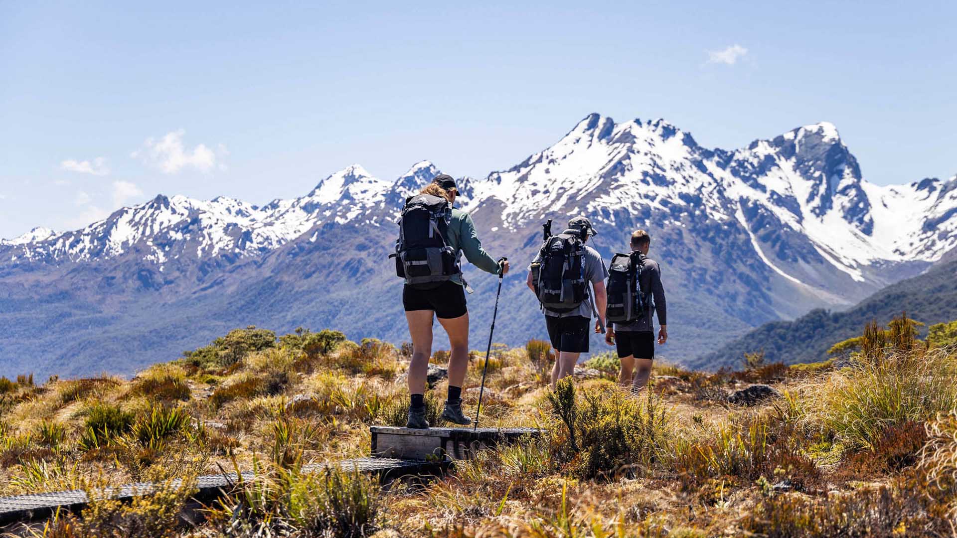
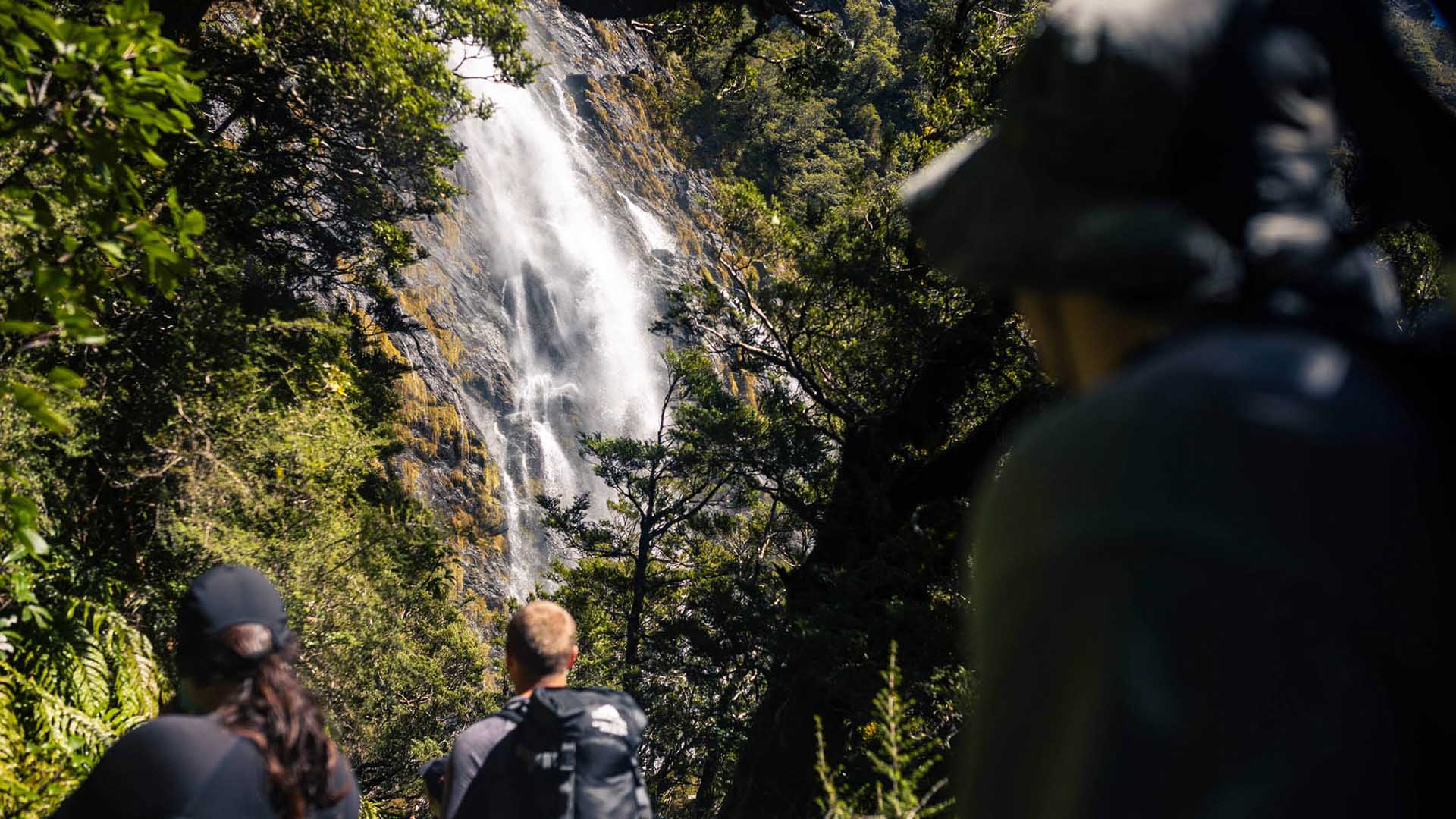
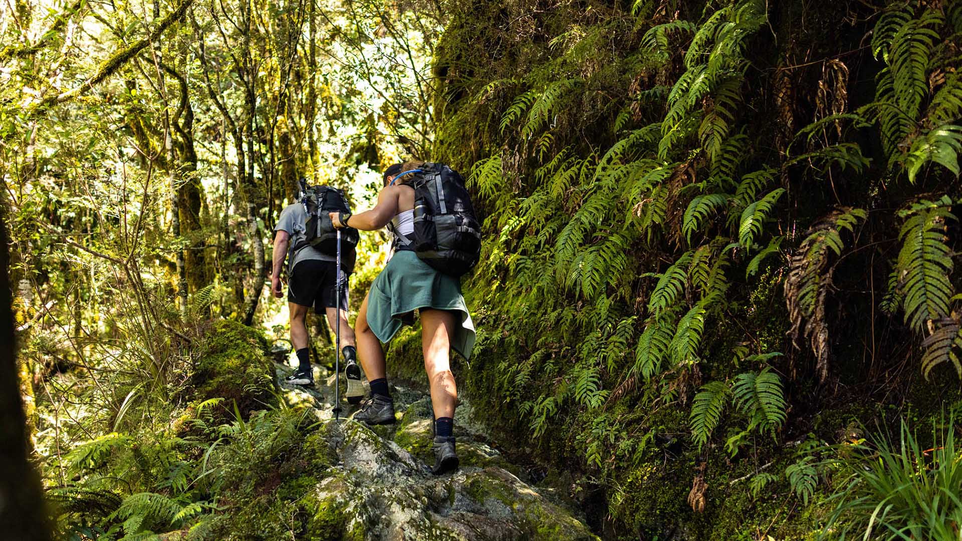
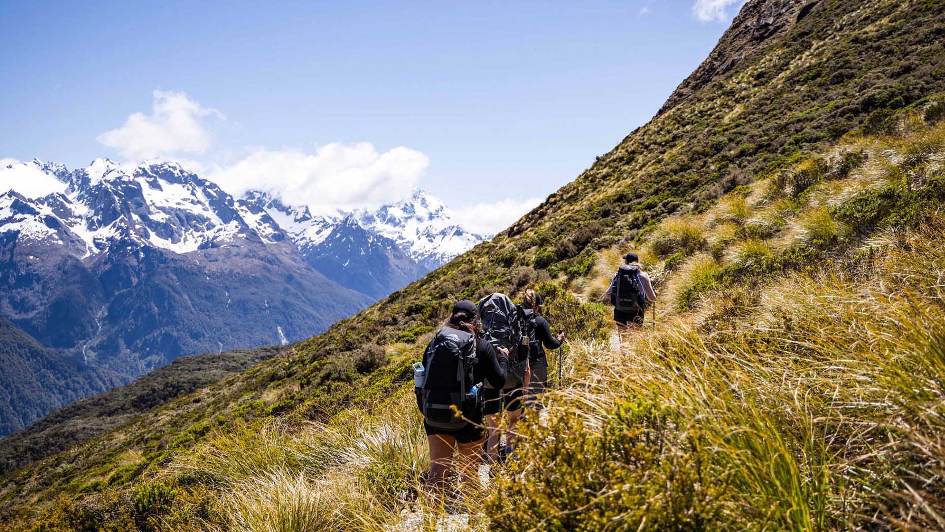
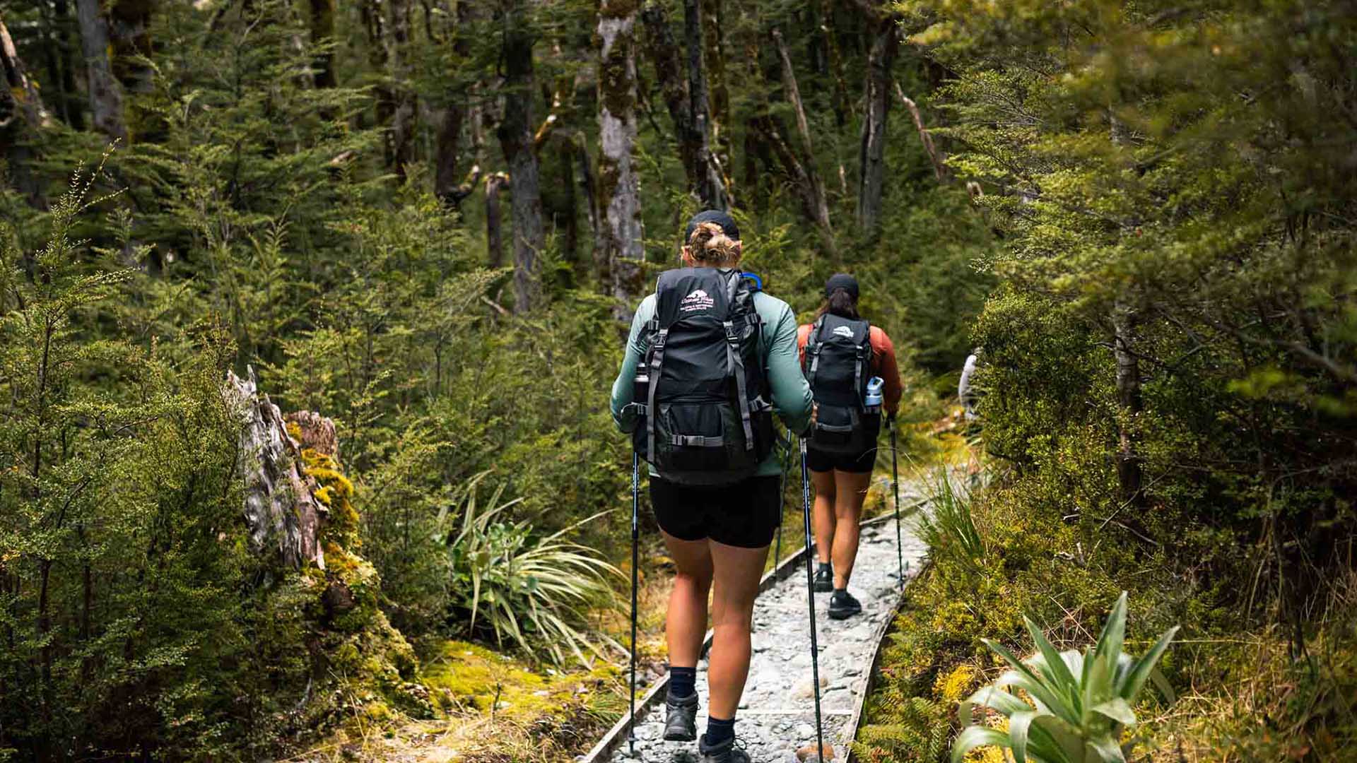
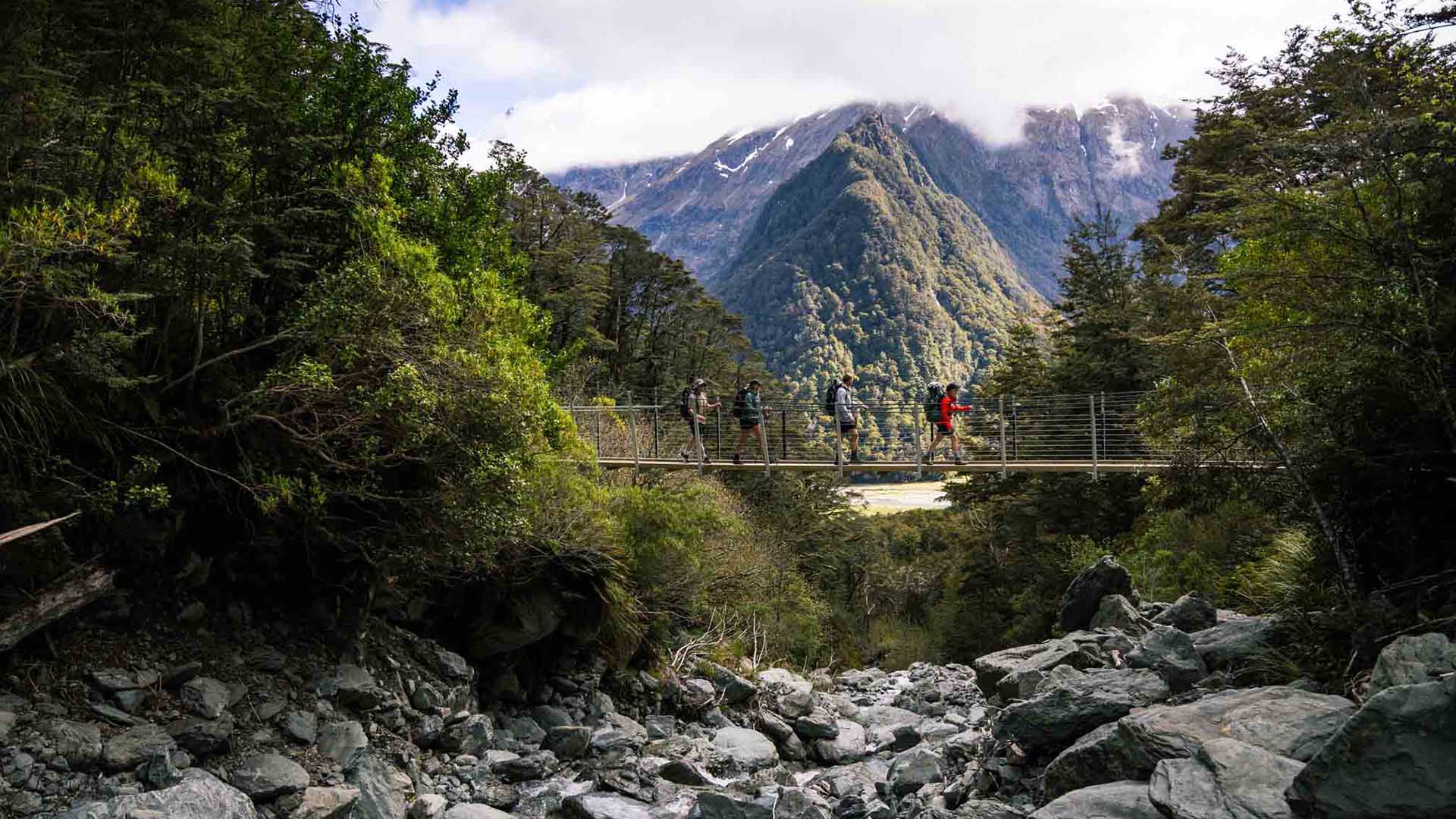
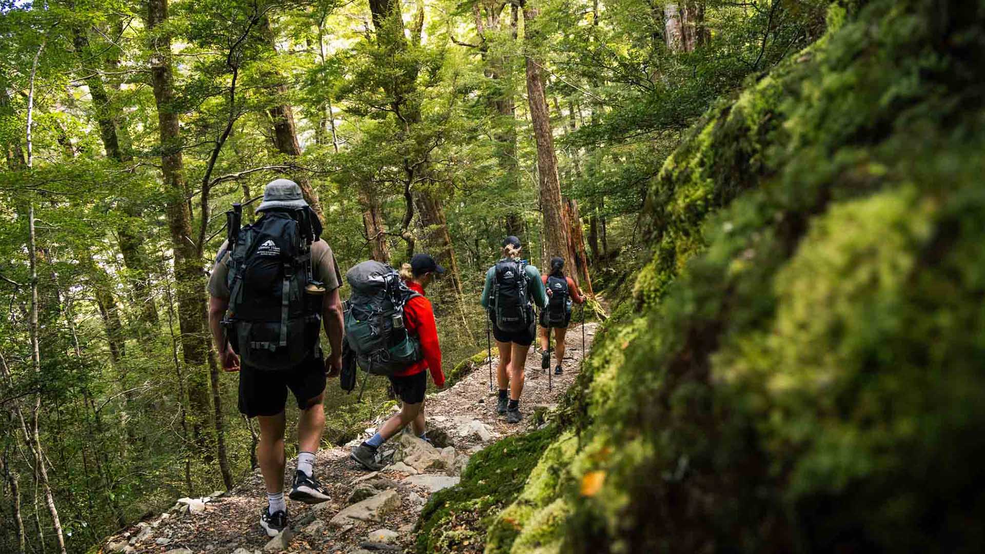
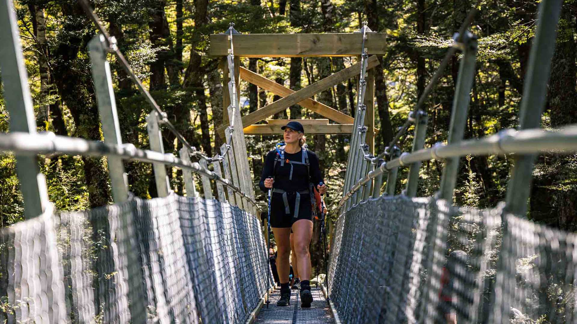
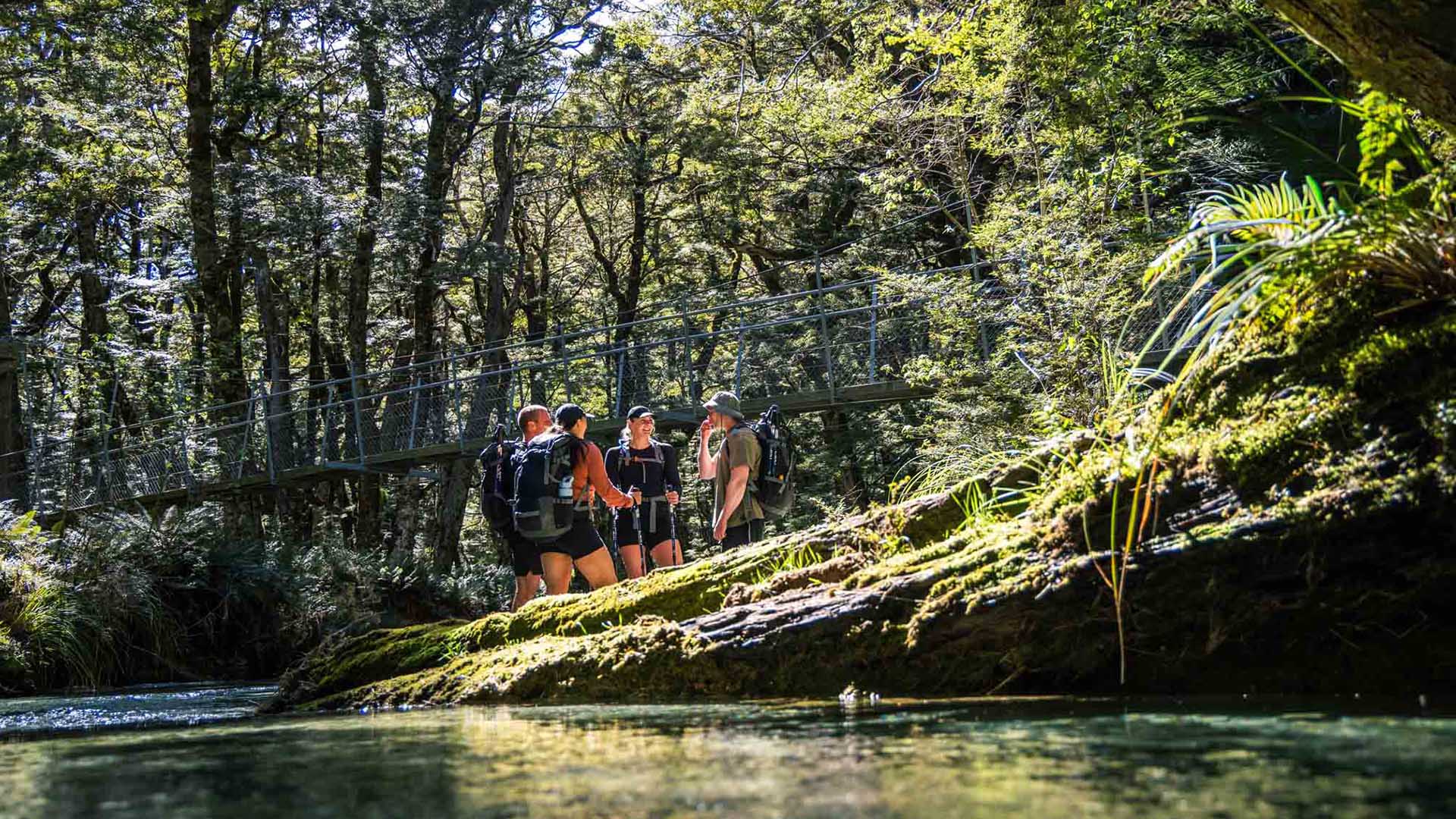
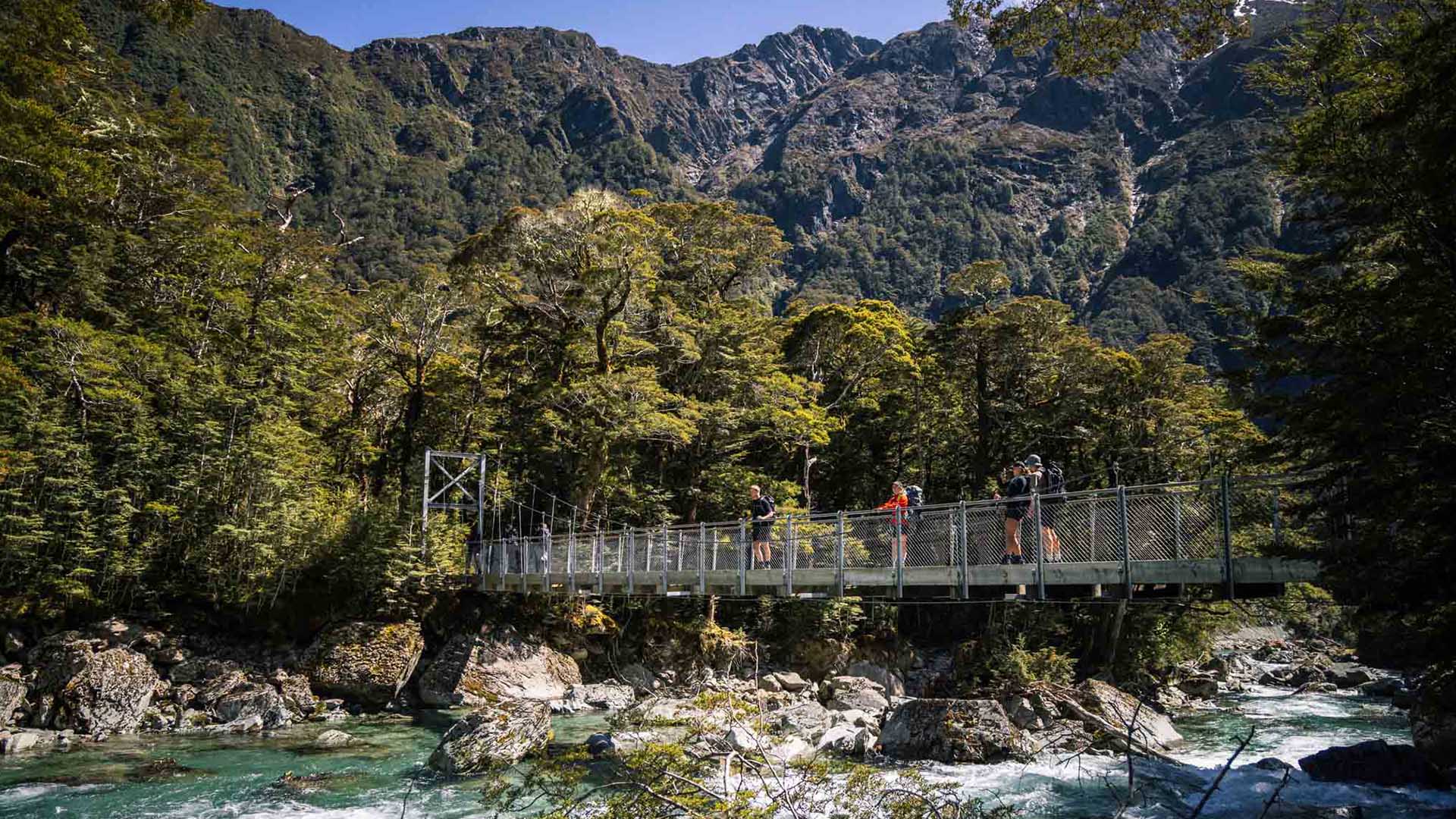
The Classic hike is a guided 8-day, 7-night all-inclusive adventure, designed to let you explore two legendary trails in comfort and confidence. You’ll journey through lush rainforest, cross high mountain passes, and walk alongside crystal-clear rivers, with sweeping views of snow-capped peaks, deep valleys, and dramatic fiords.
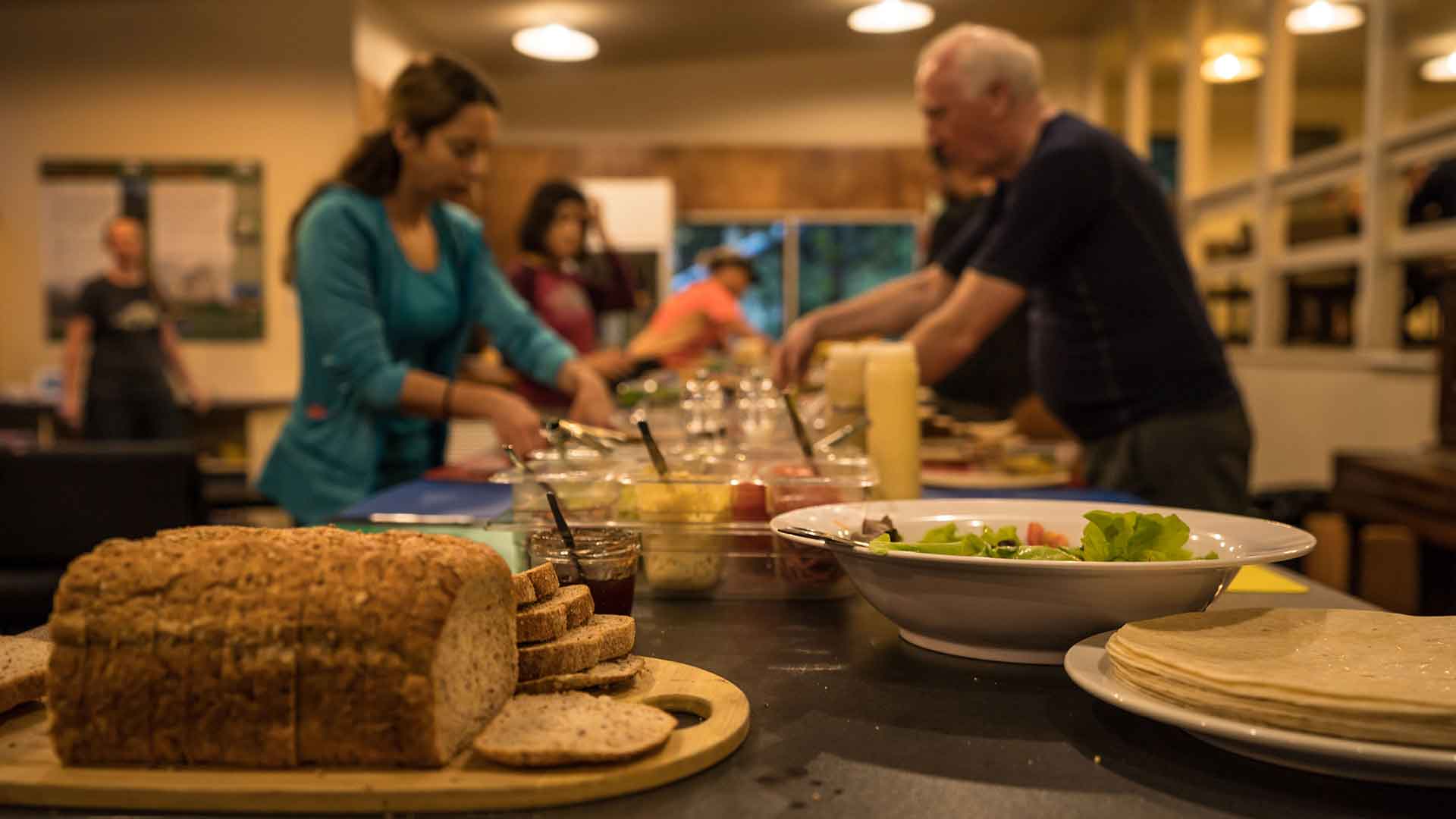
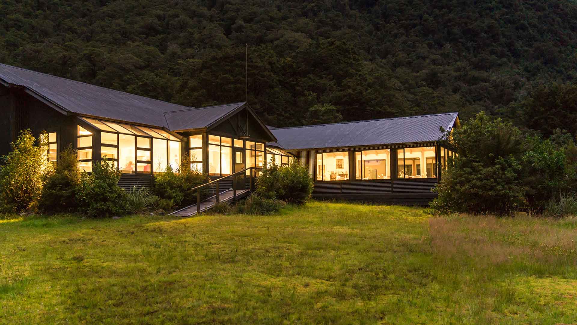
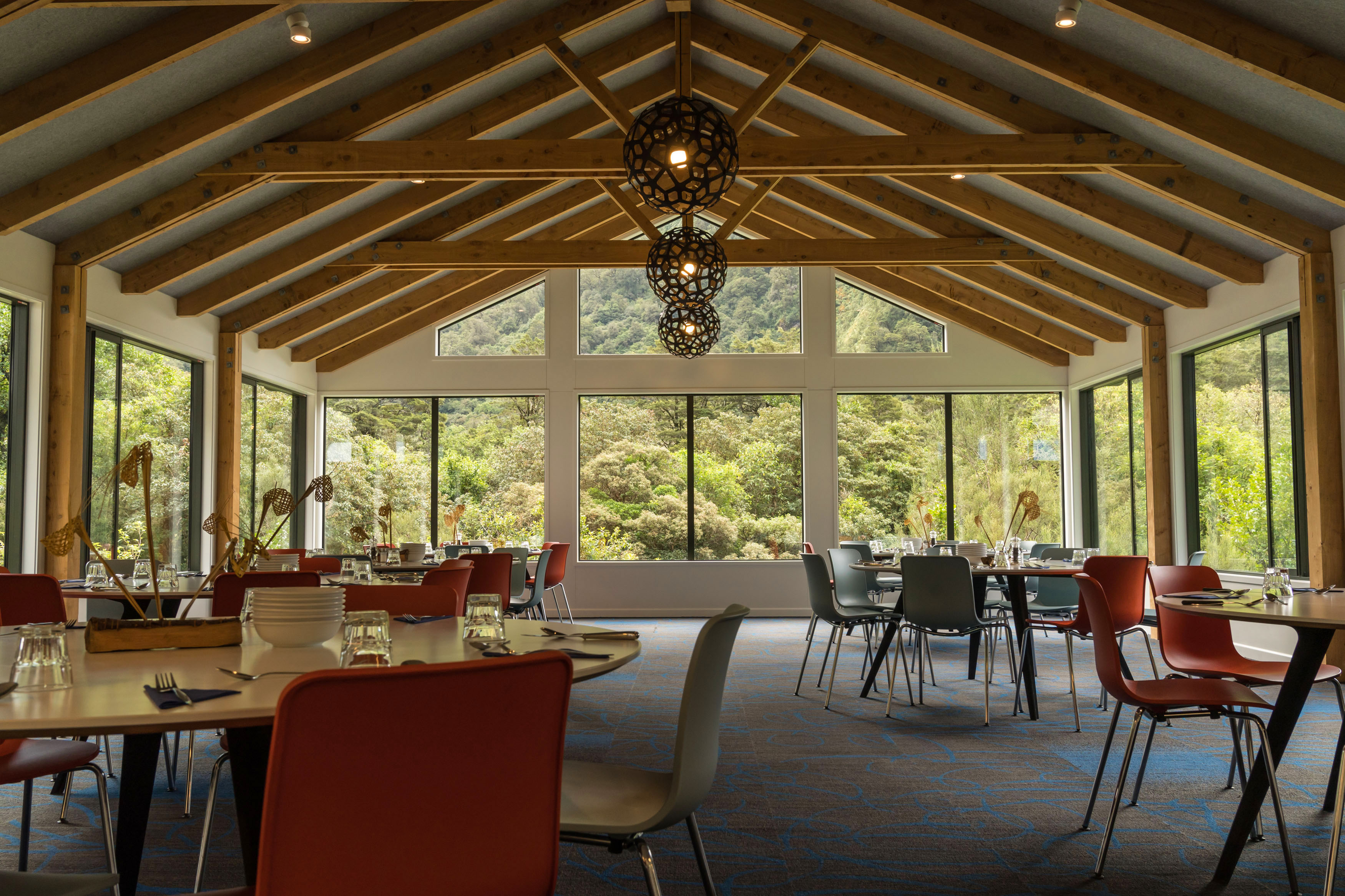
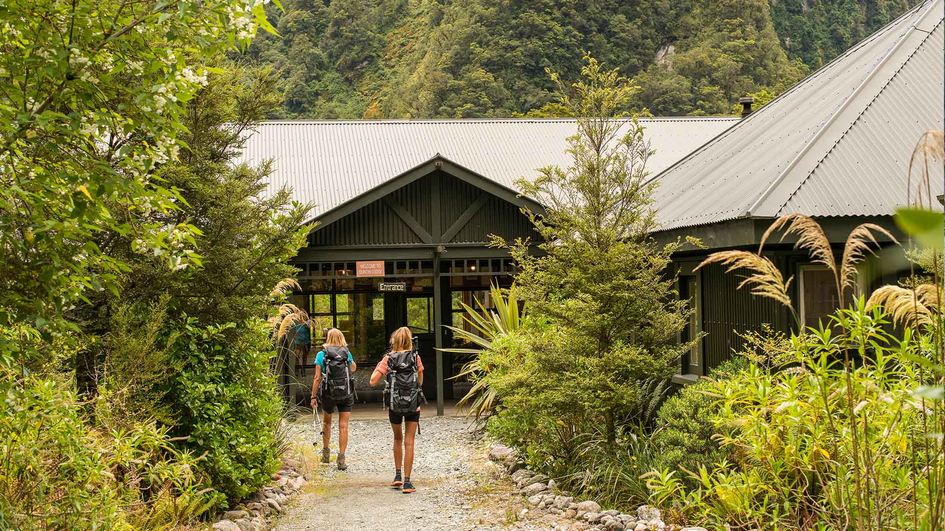
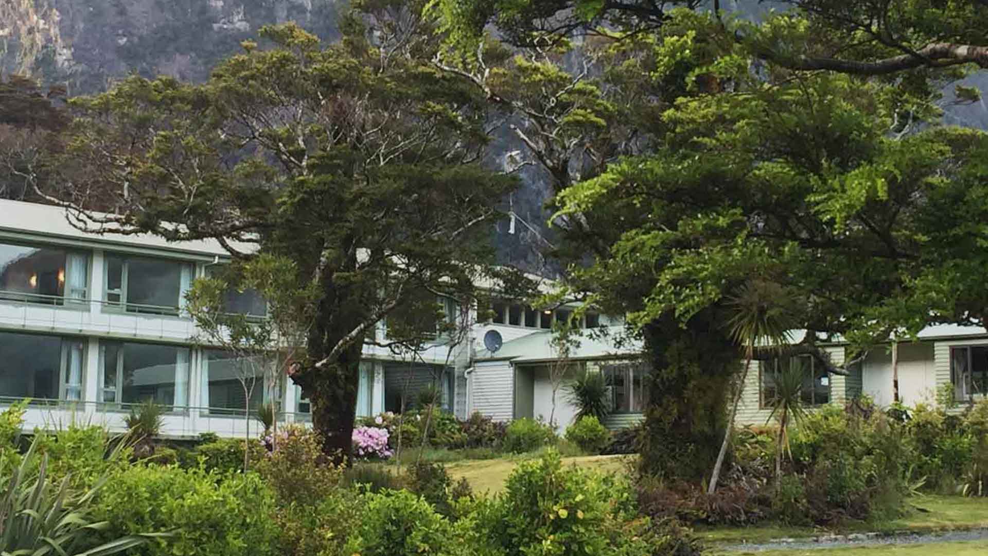
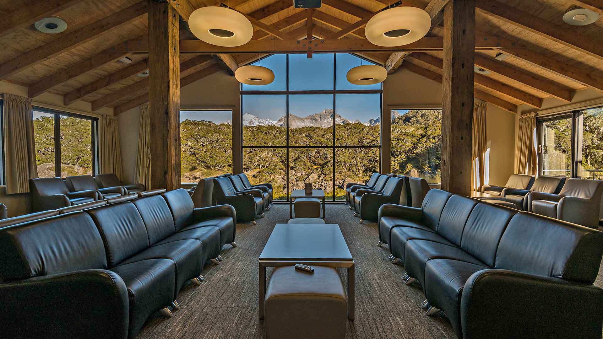
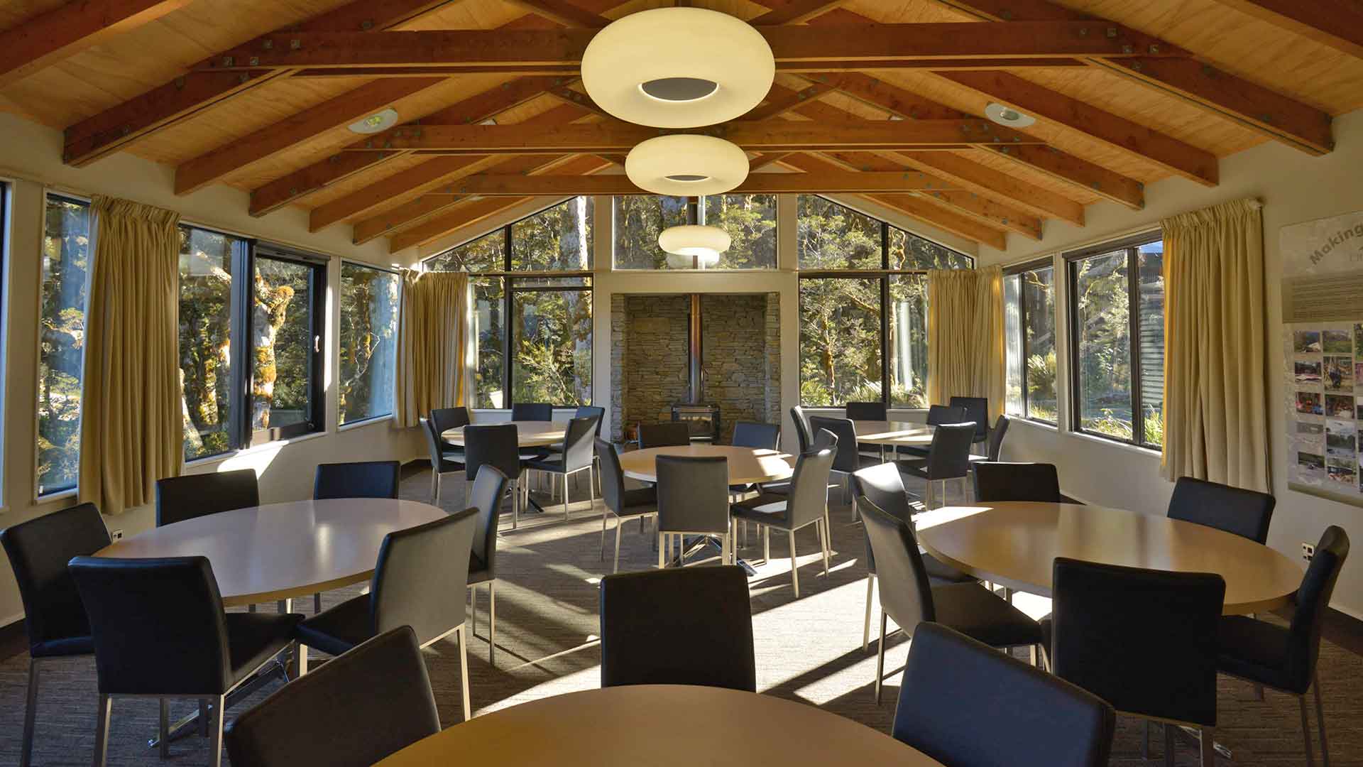
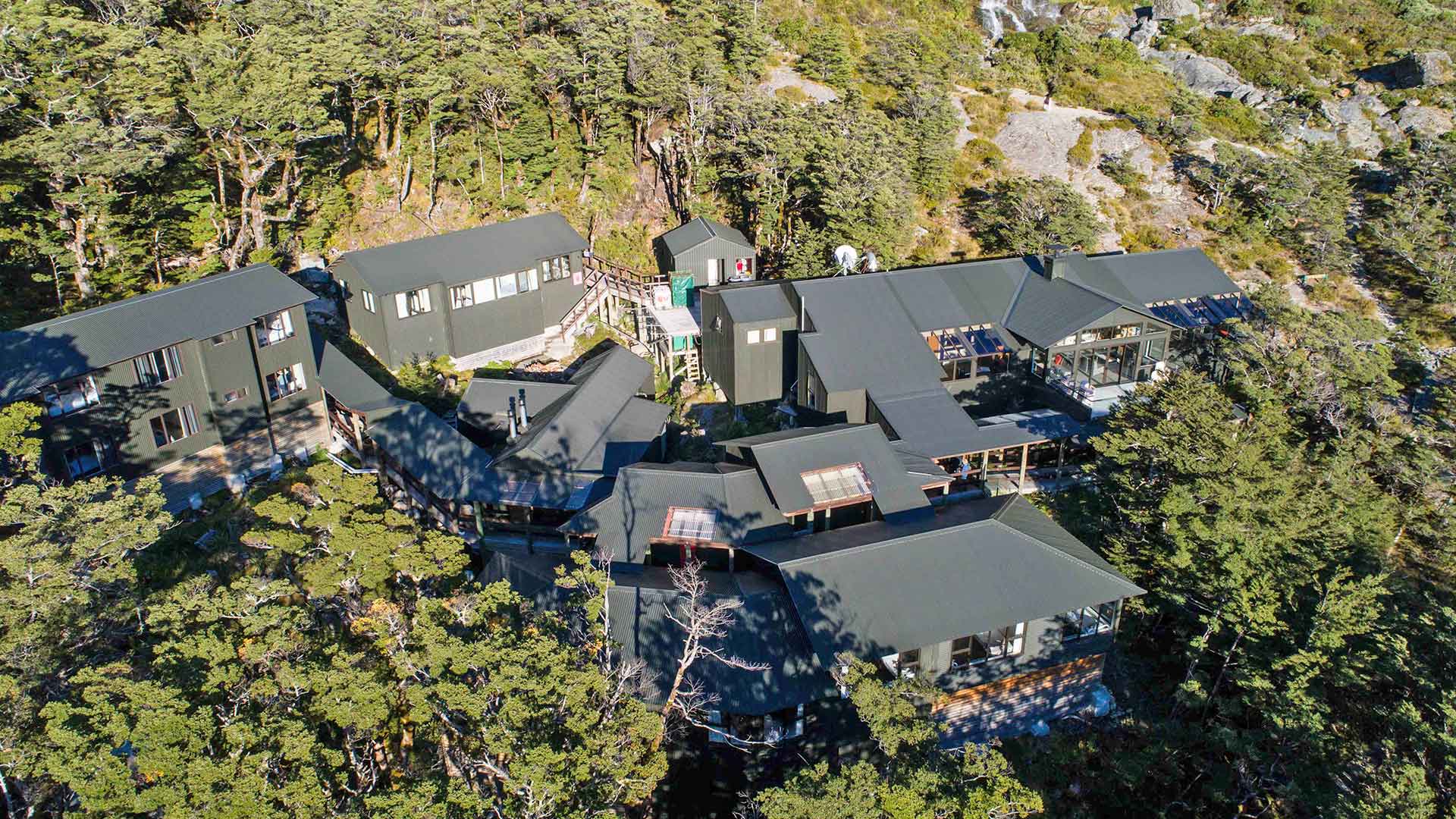
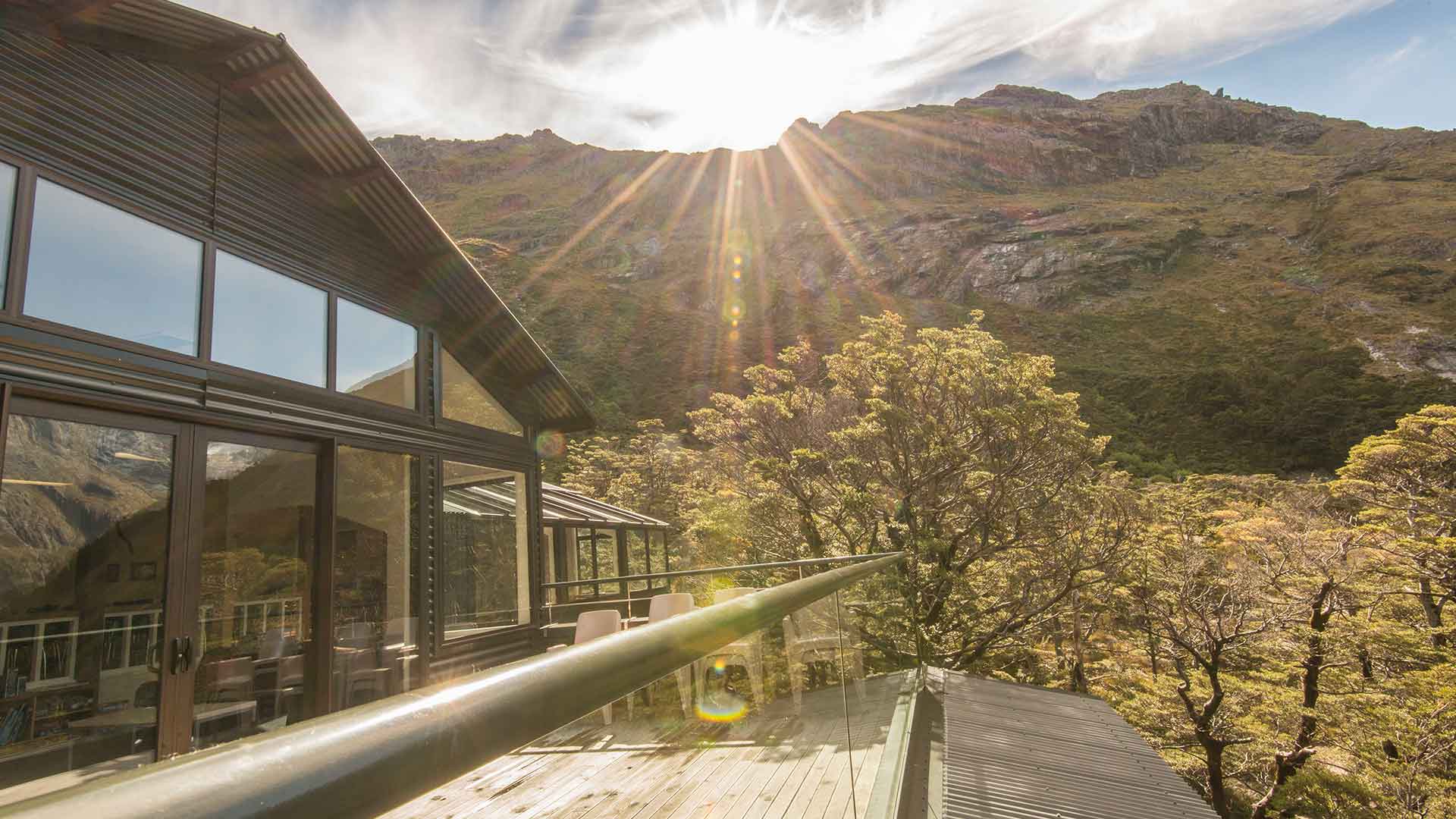
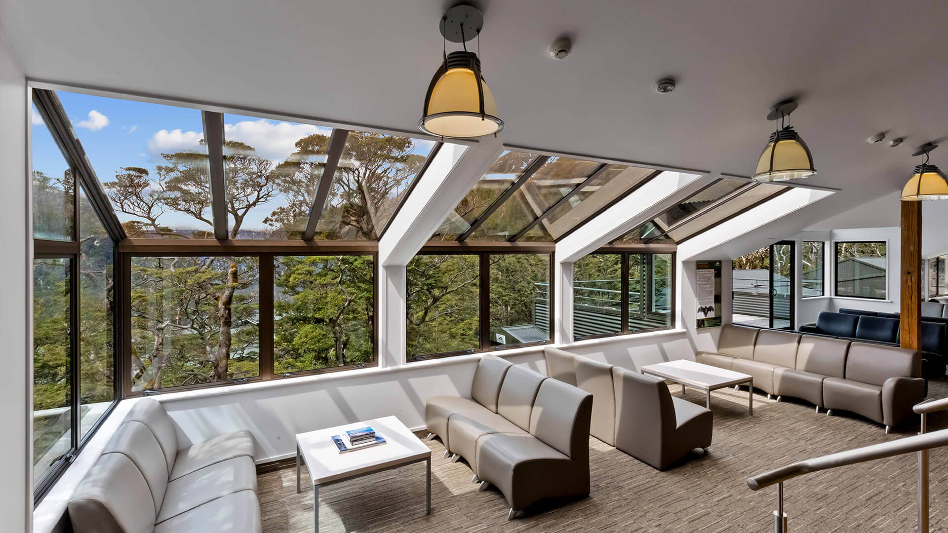
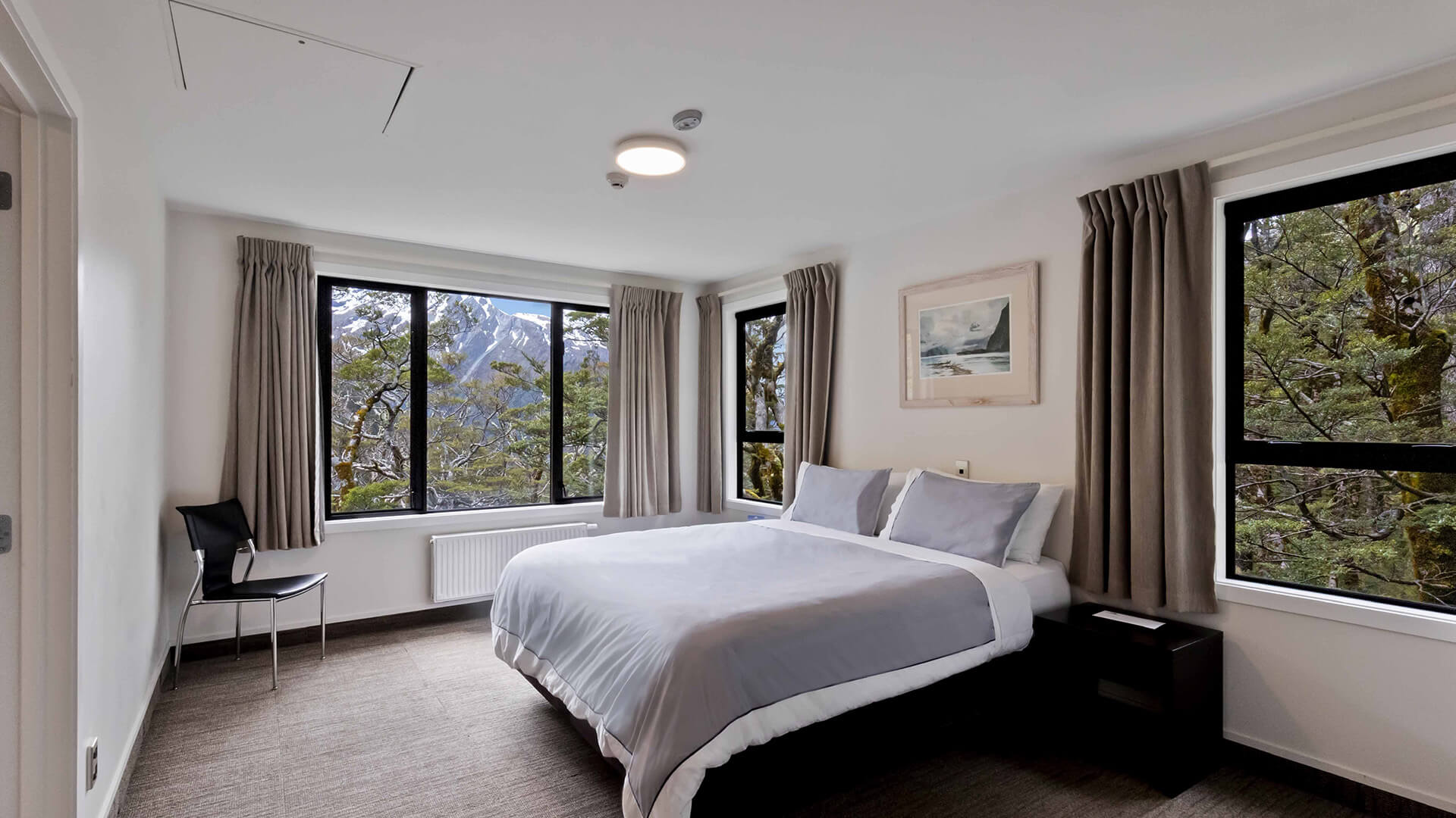
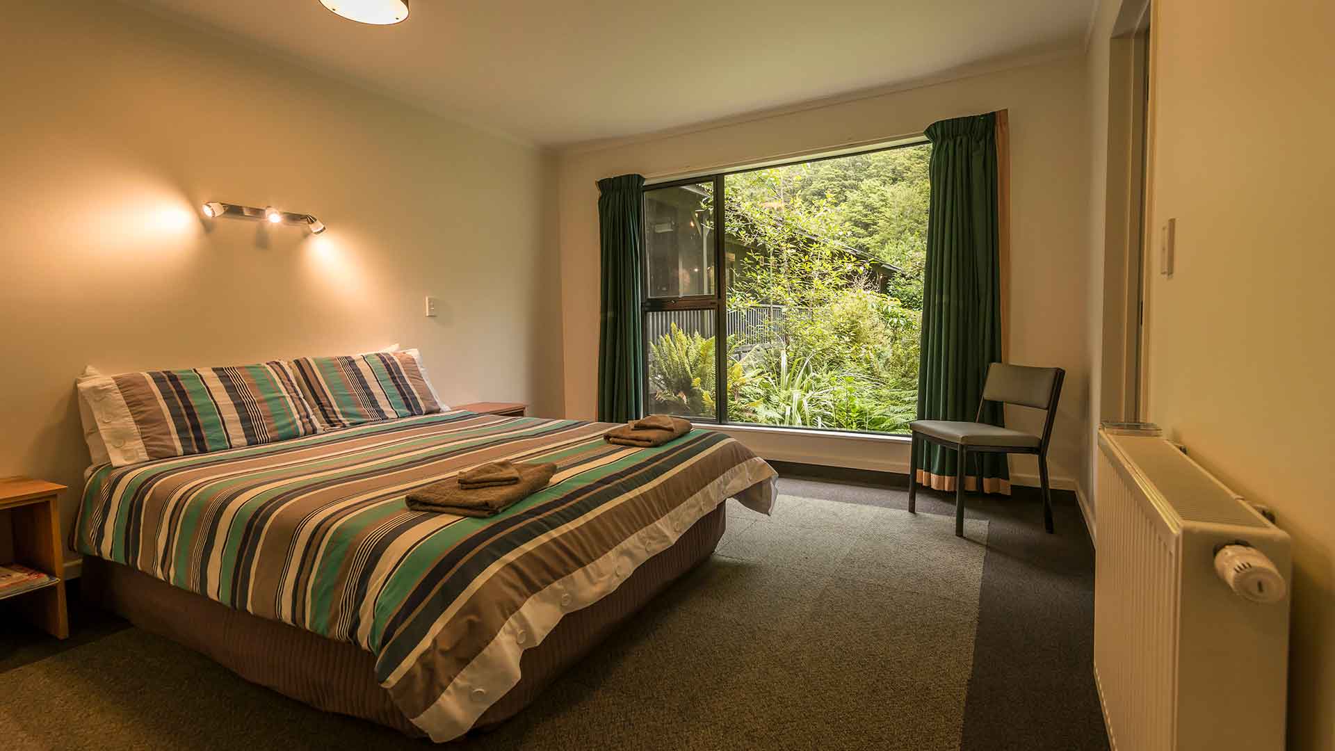
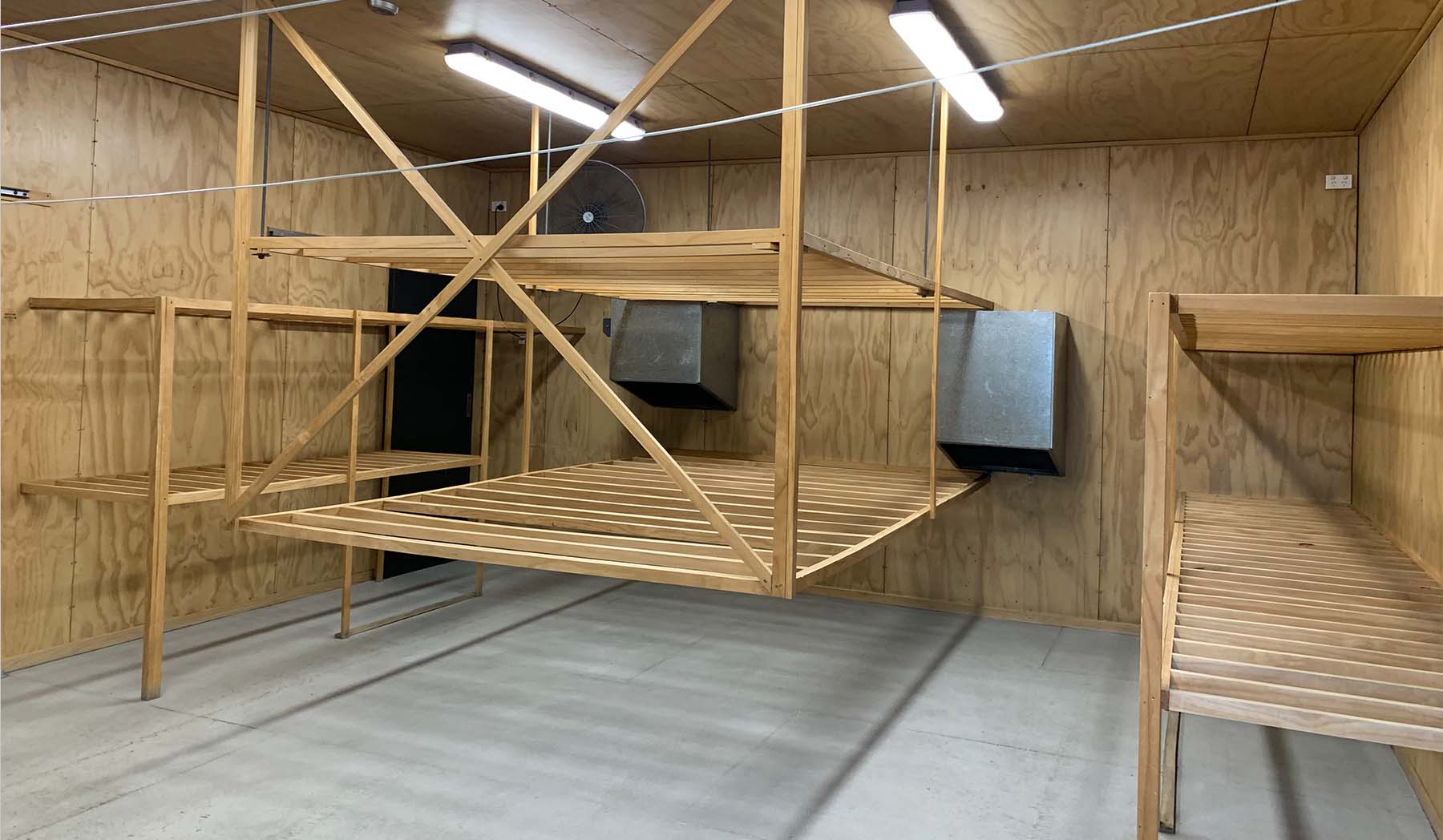
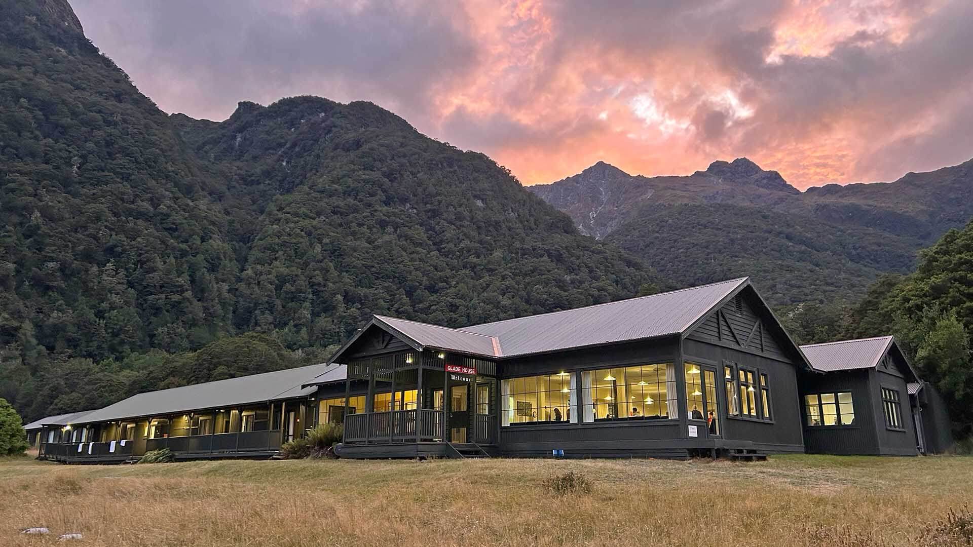
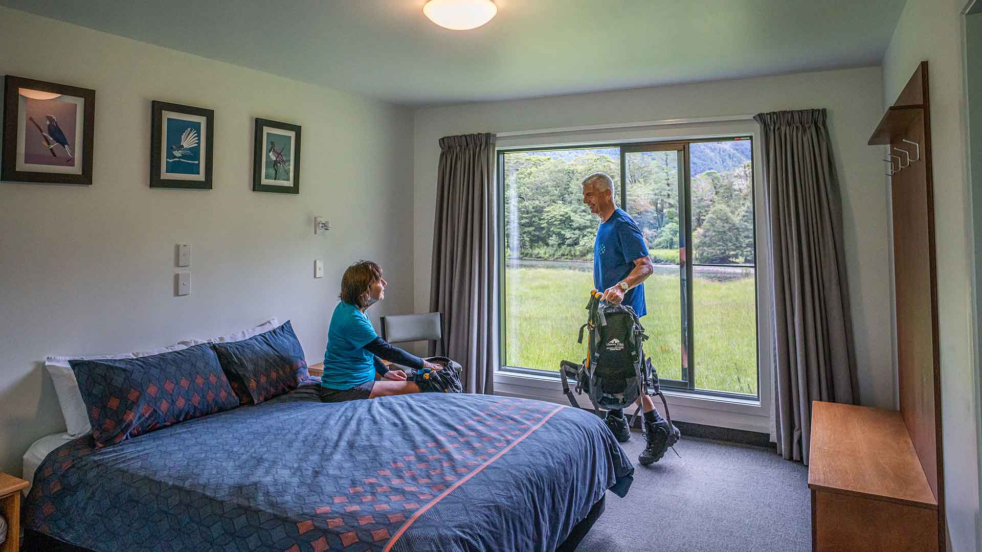
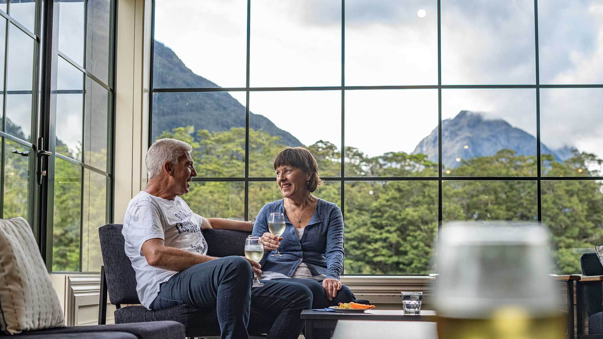
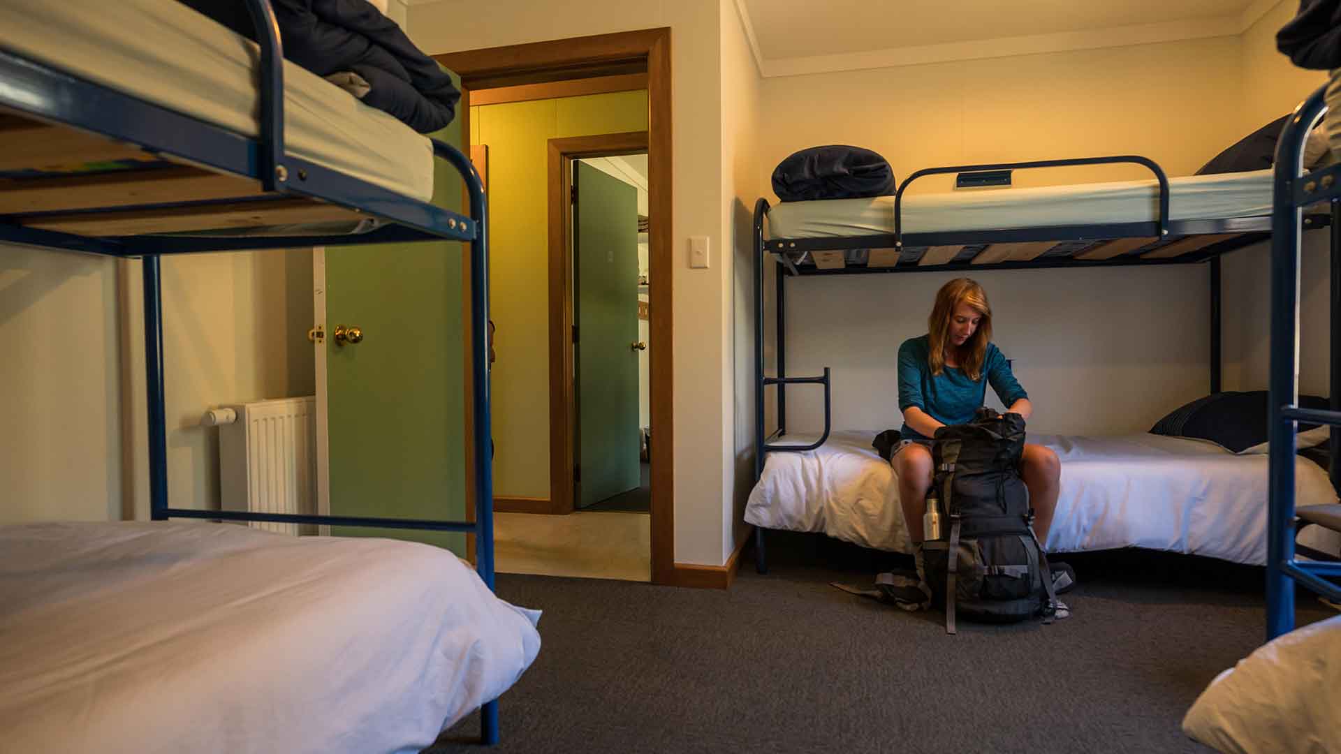
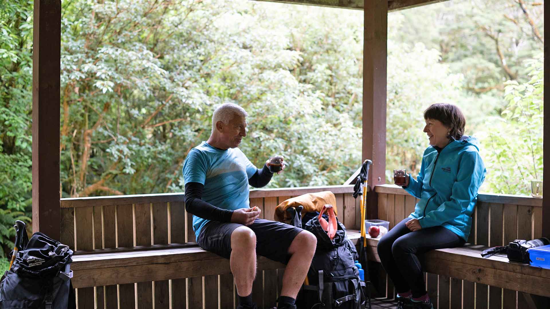
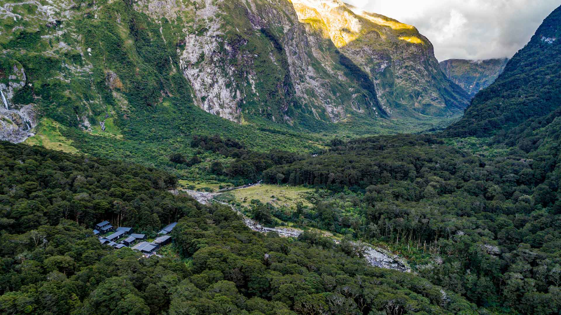
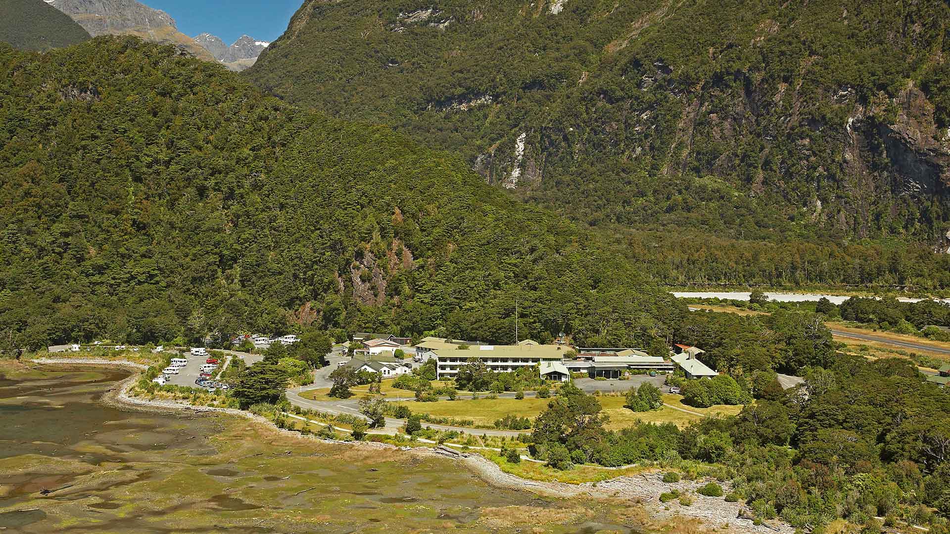
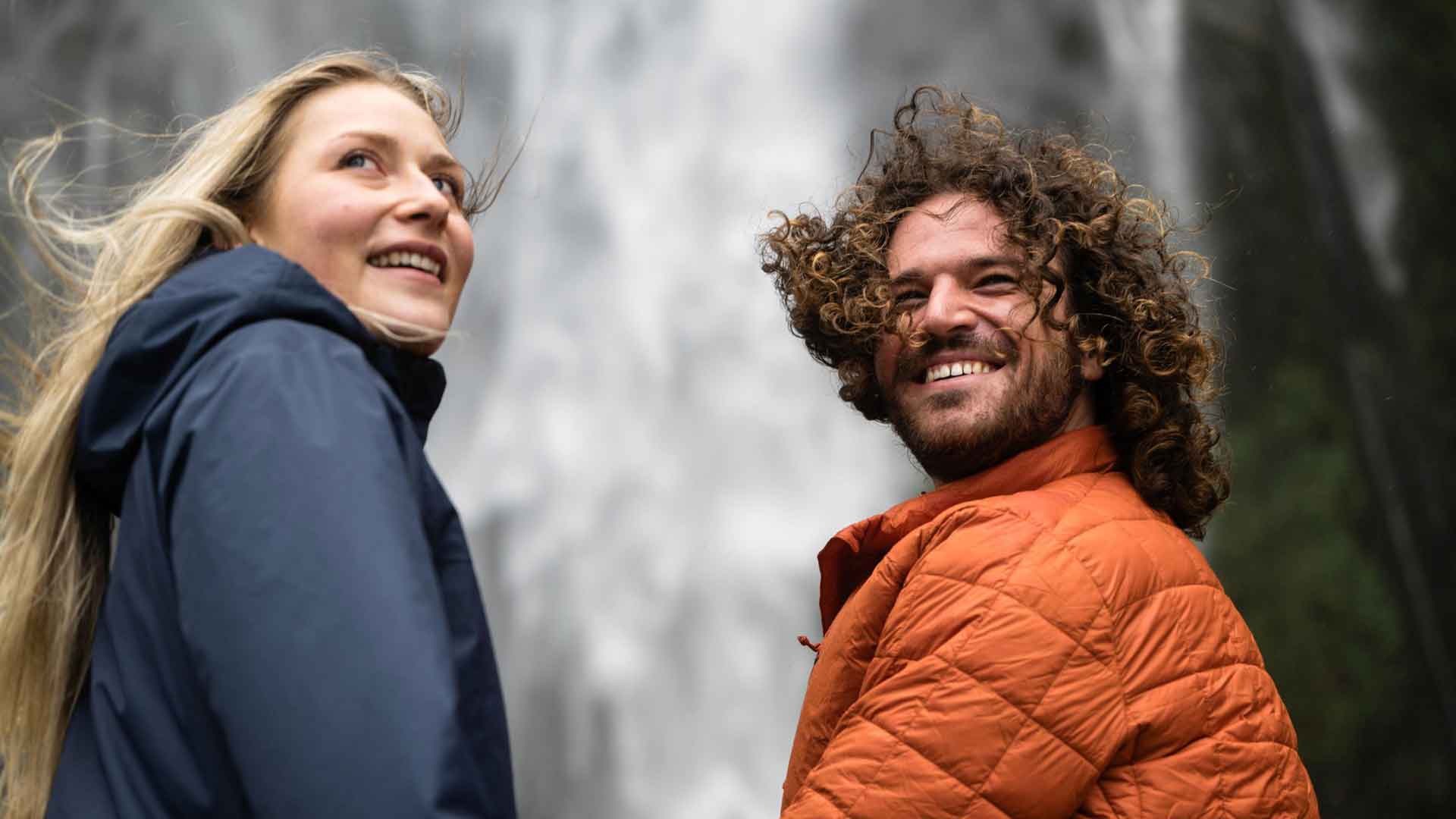
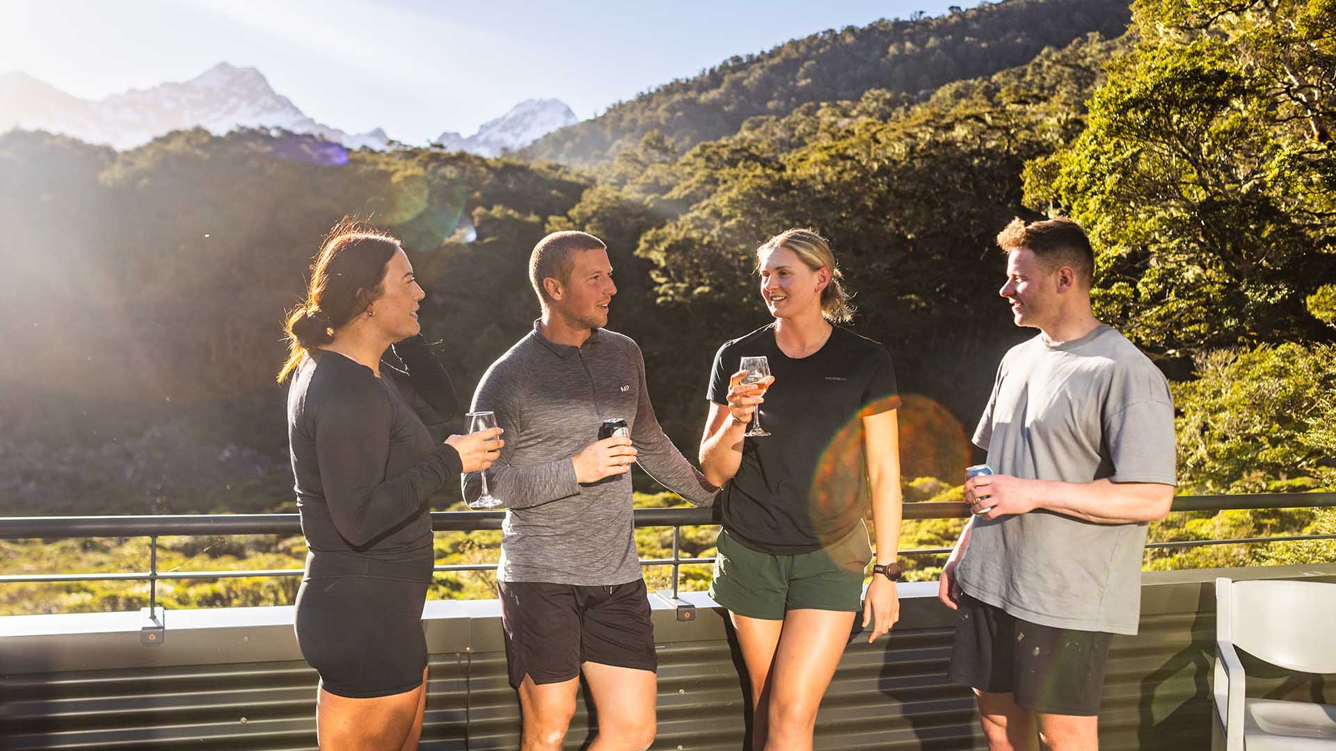
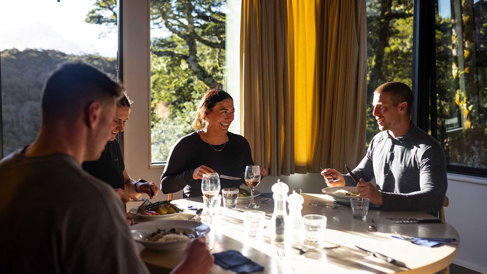
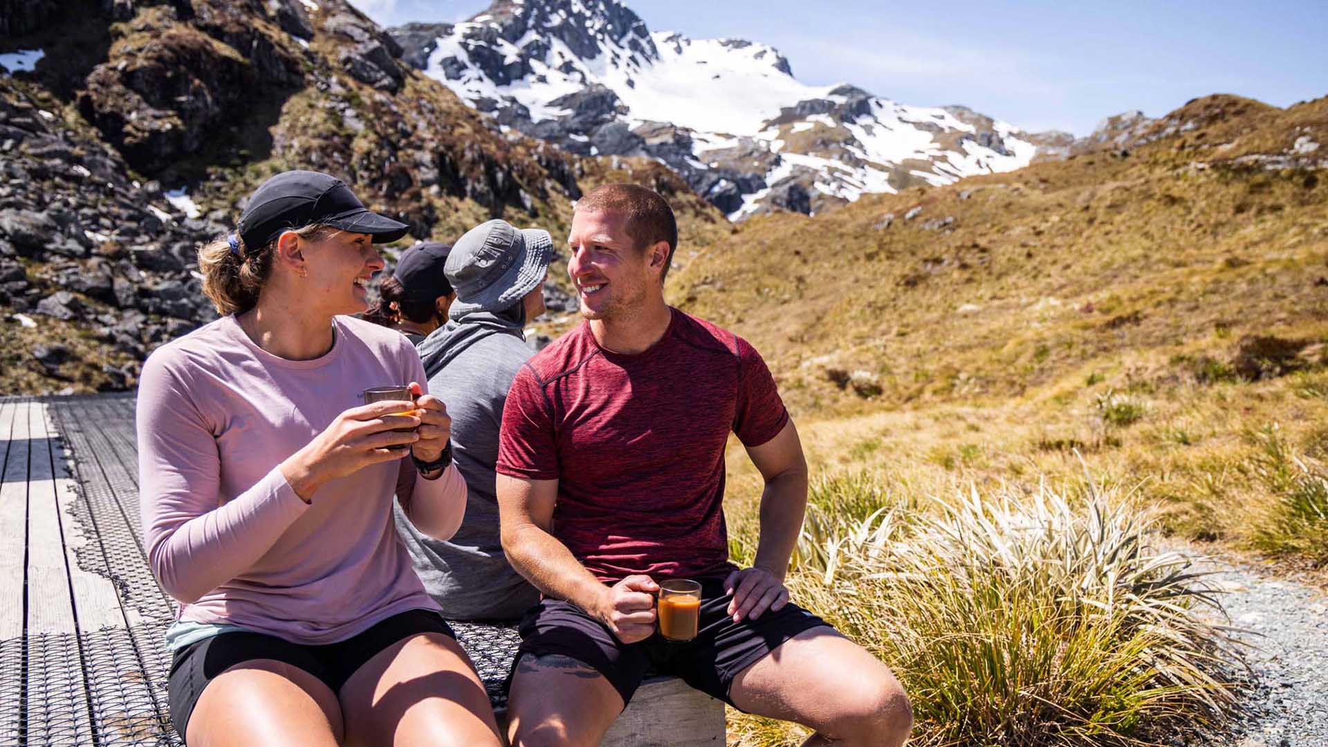
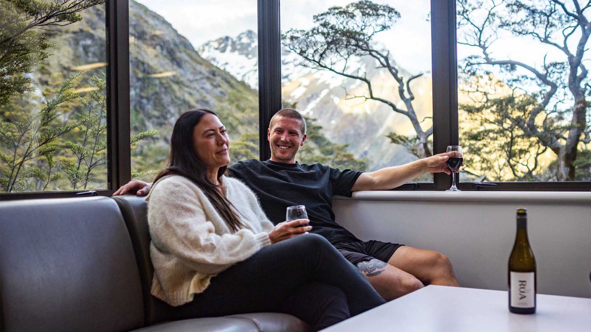
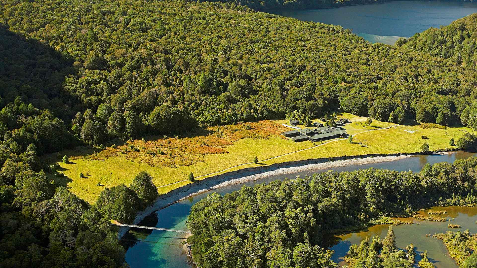
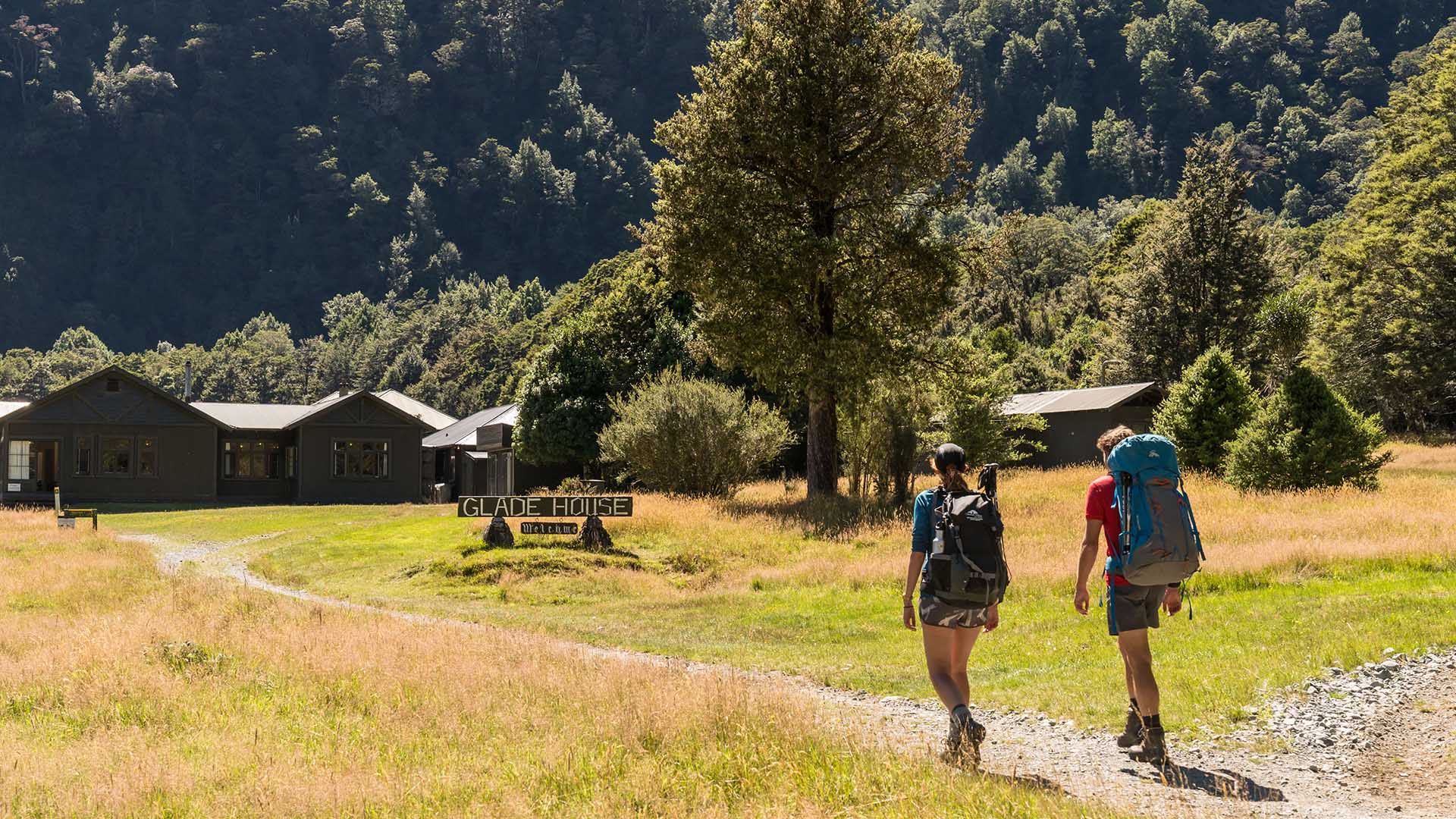
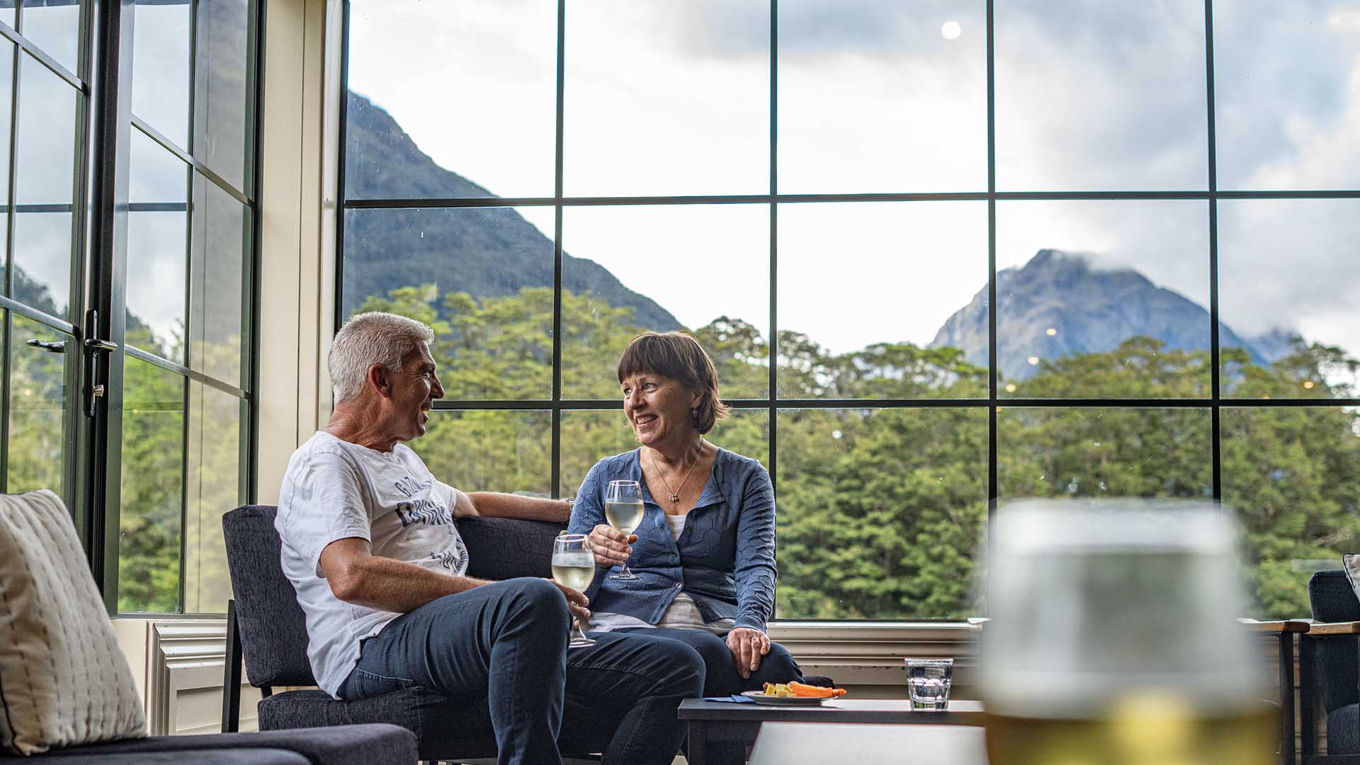
At the end of each day’s hike, you’ll stay in our private lodges, enjoy a hot shower, a hearty meal, and unwind with a drink from the bar.
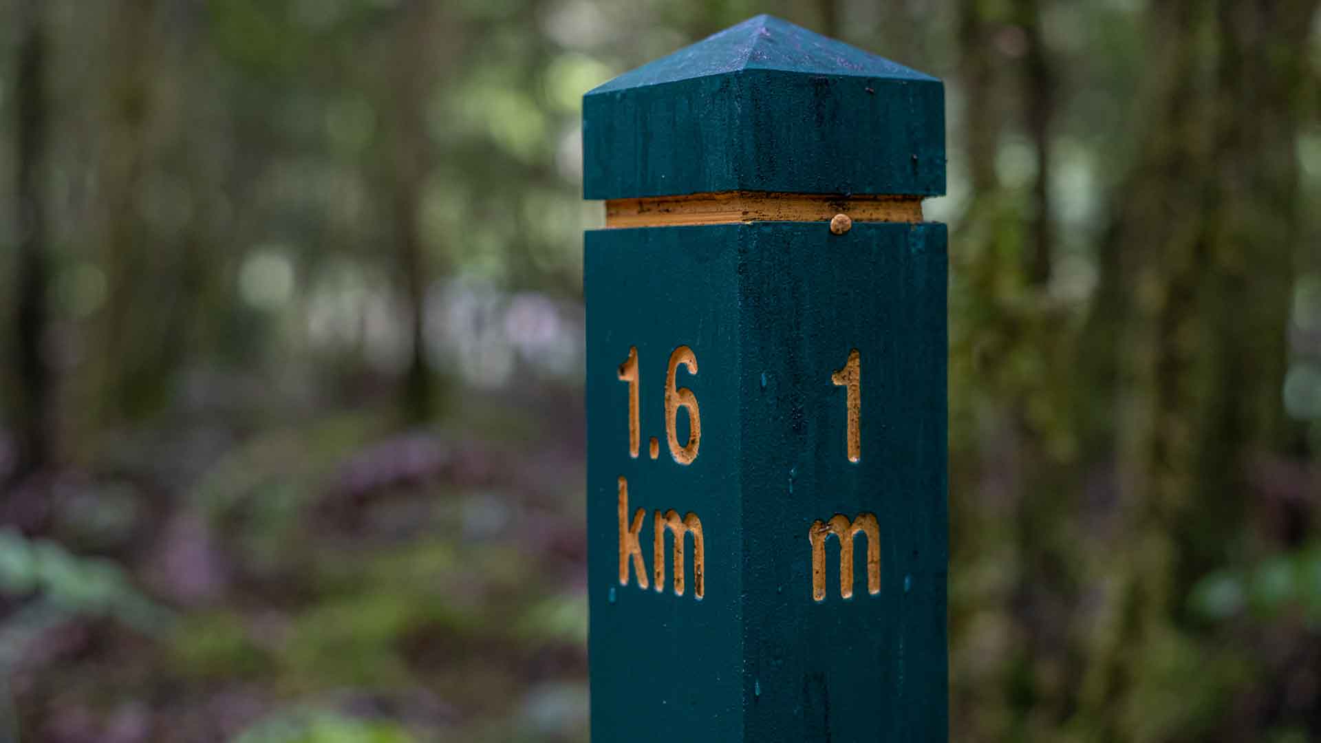
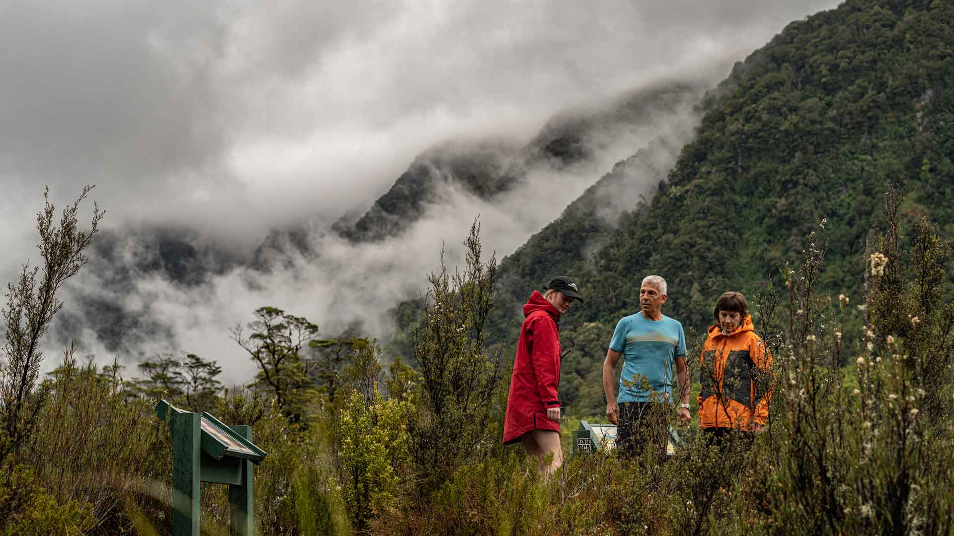
The tracks have their challenges, from the climb over Omanui / MacKinnon Pass to the alpine sections of the Routeburn, but the rewards are unforgettable. Vibrant native flora, cascading waterfalls, and the calls of native birds such as kea, kākā, and the elusive kiwi.


.jpg)

.jpg)