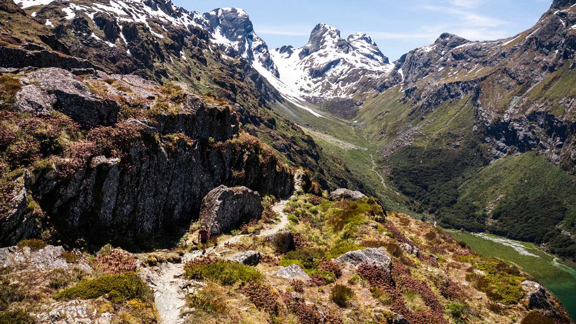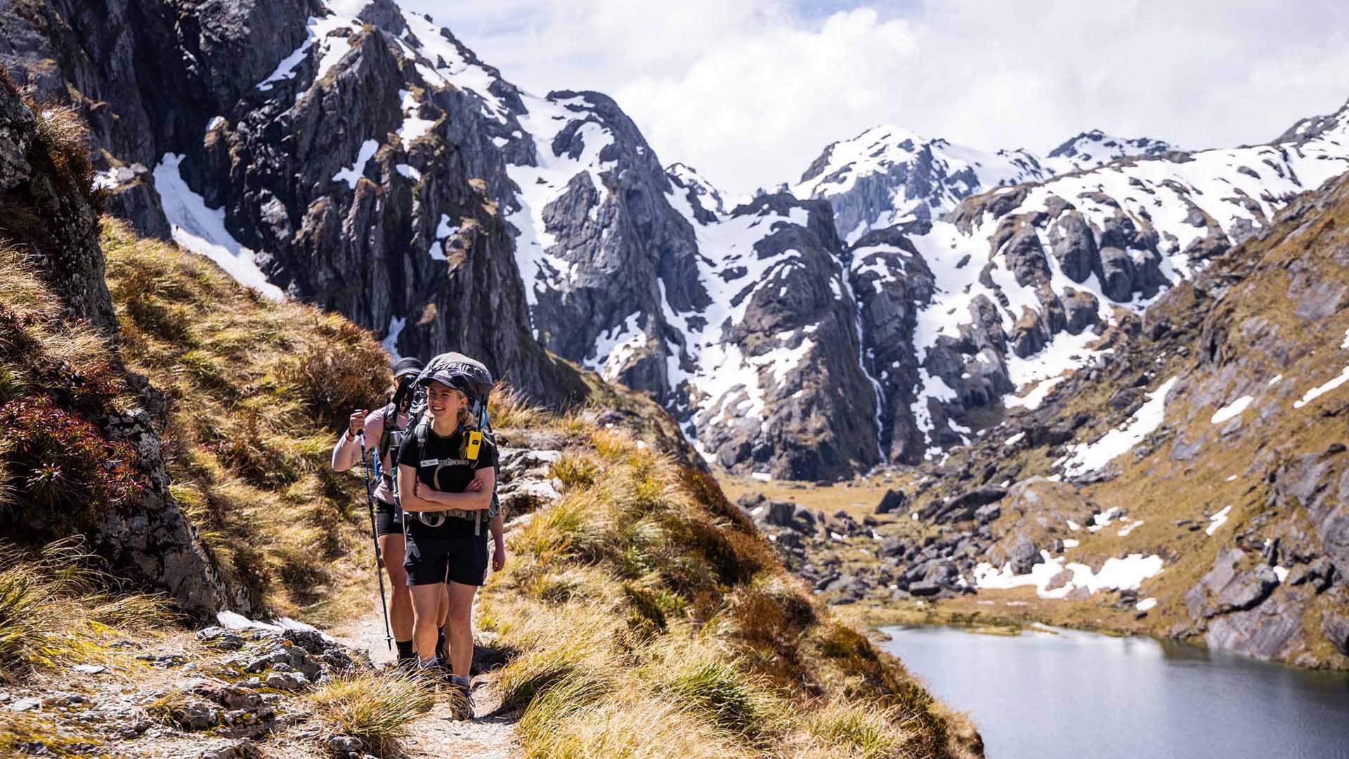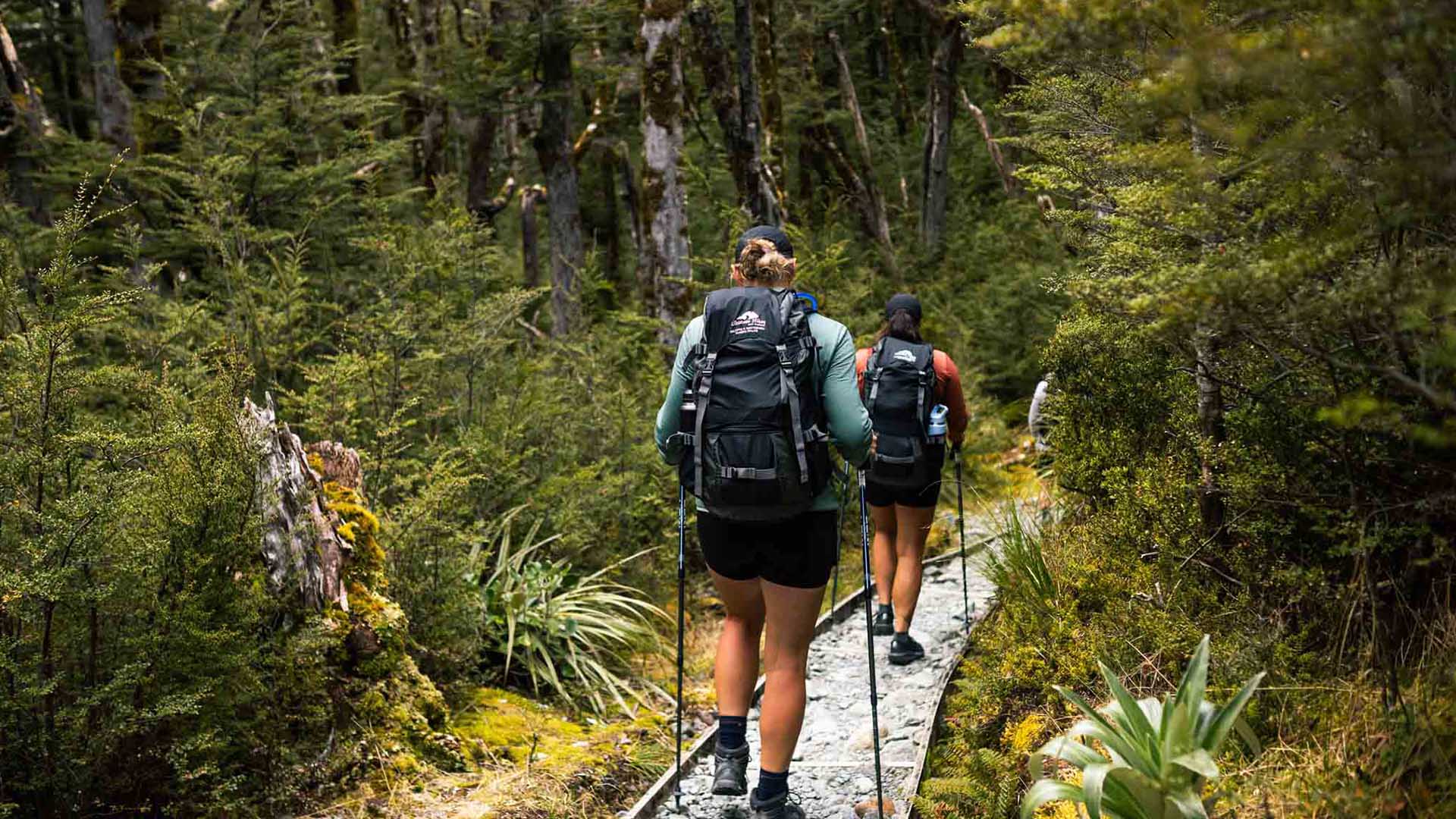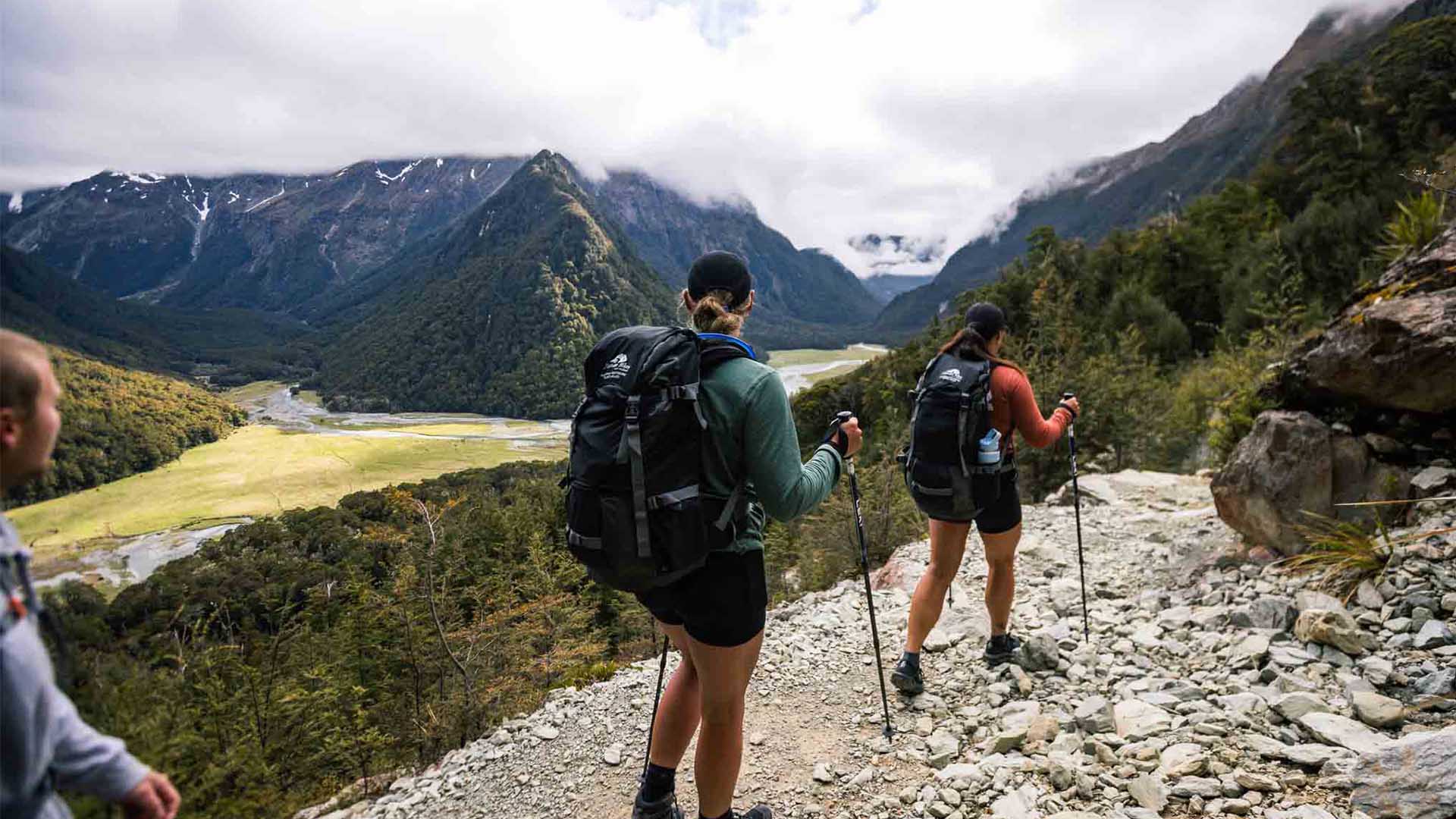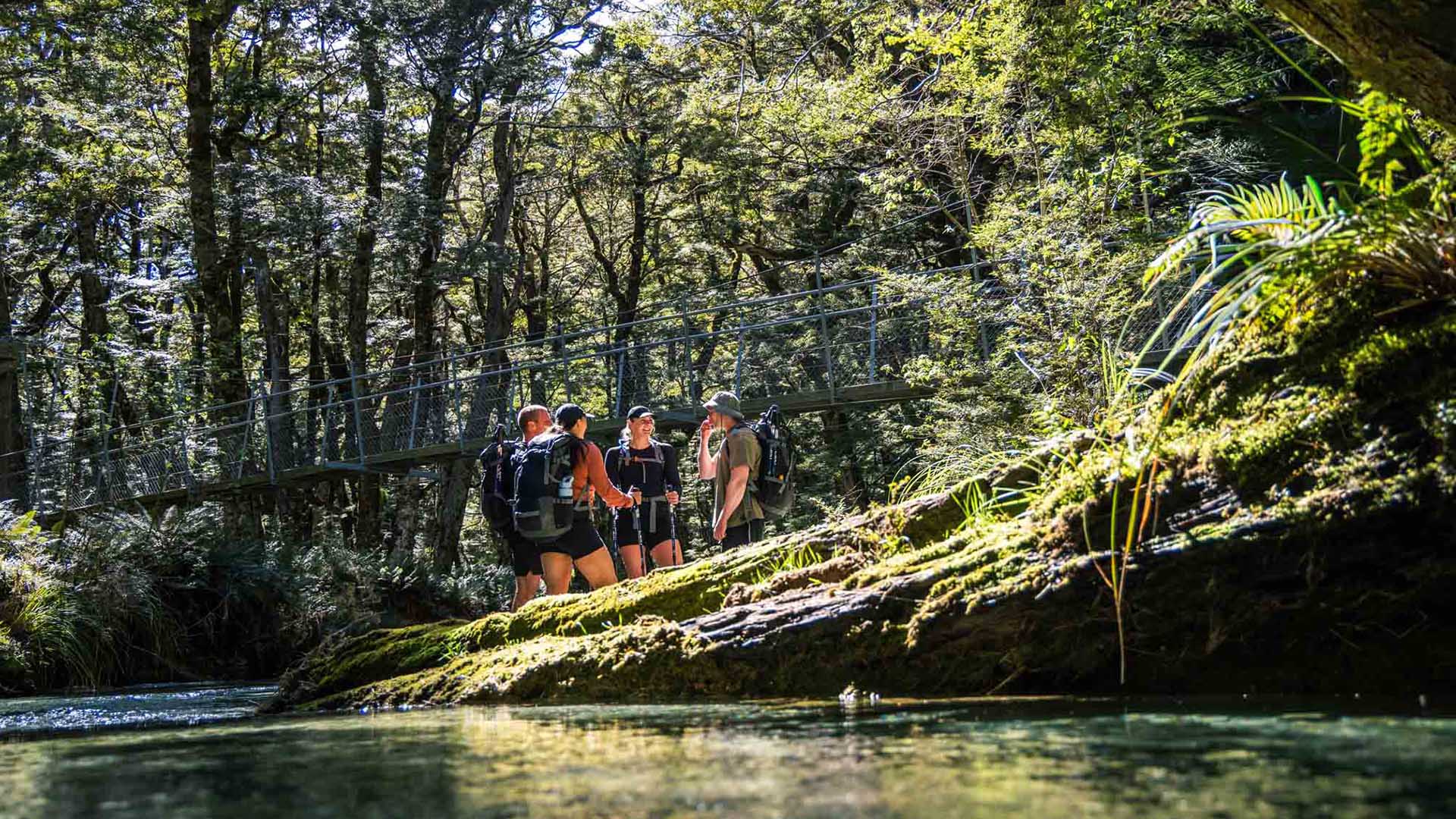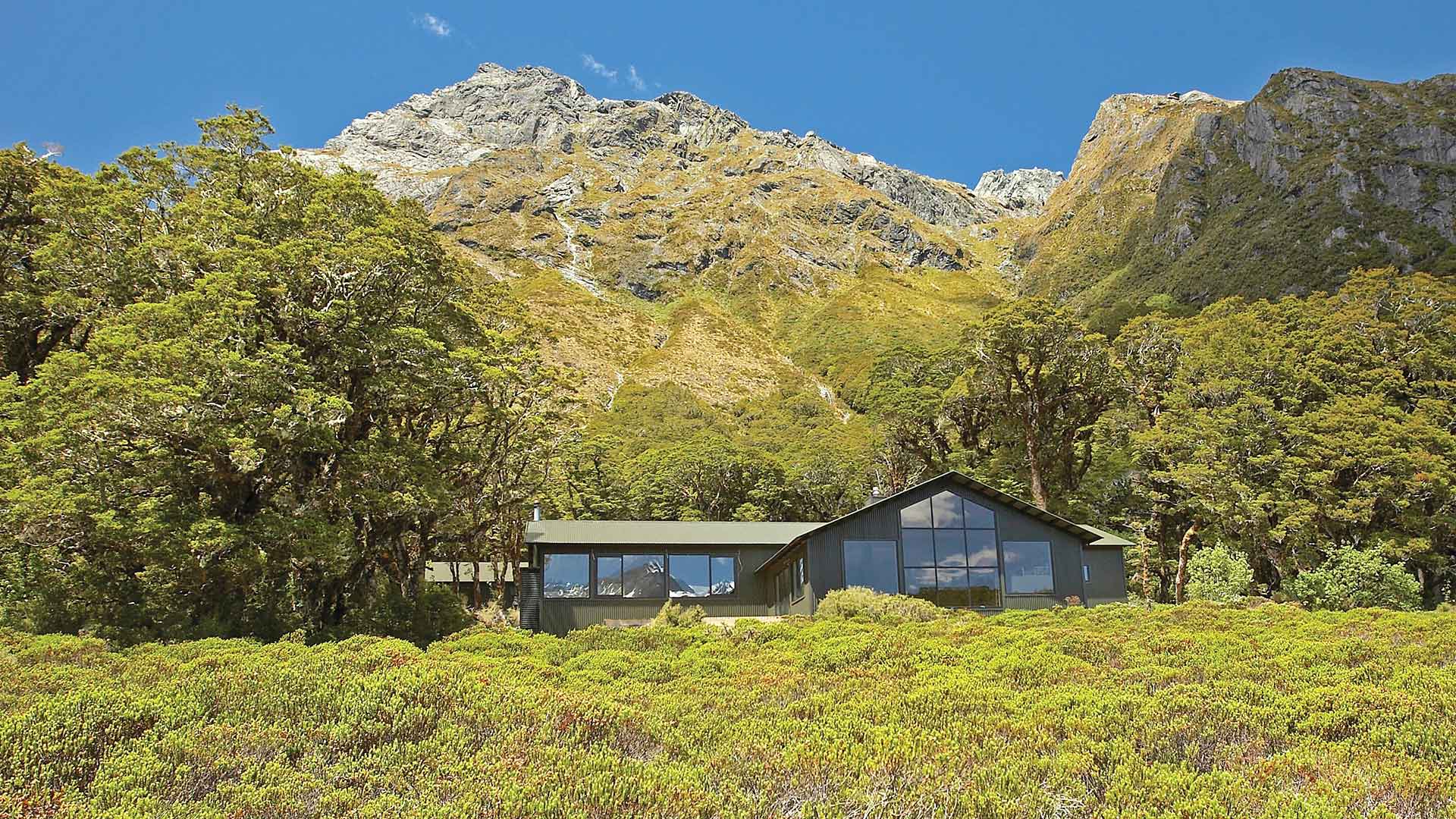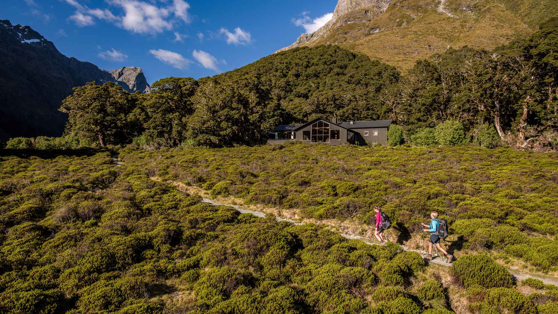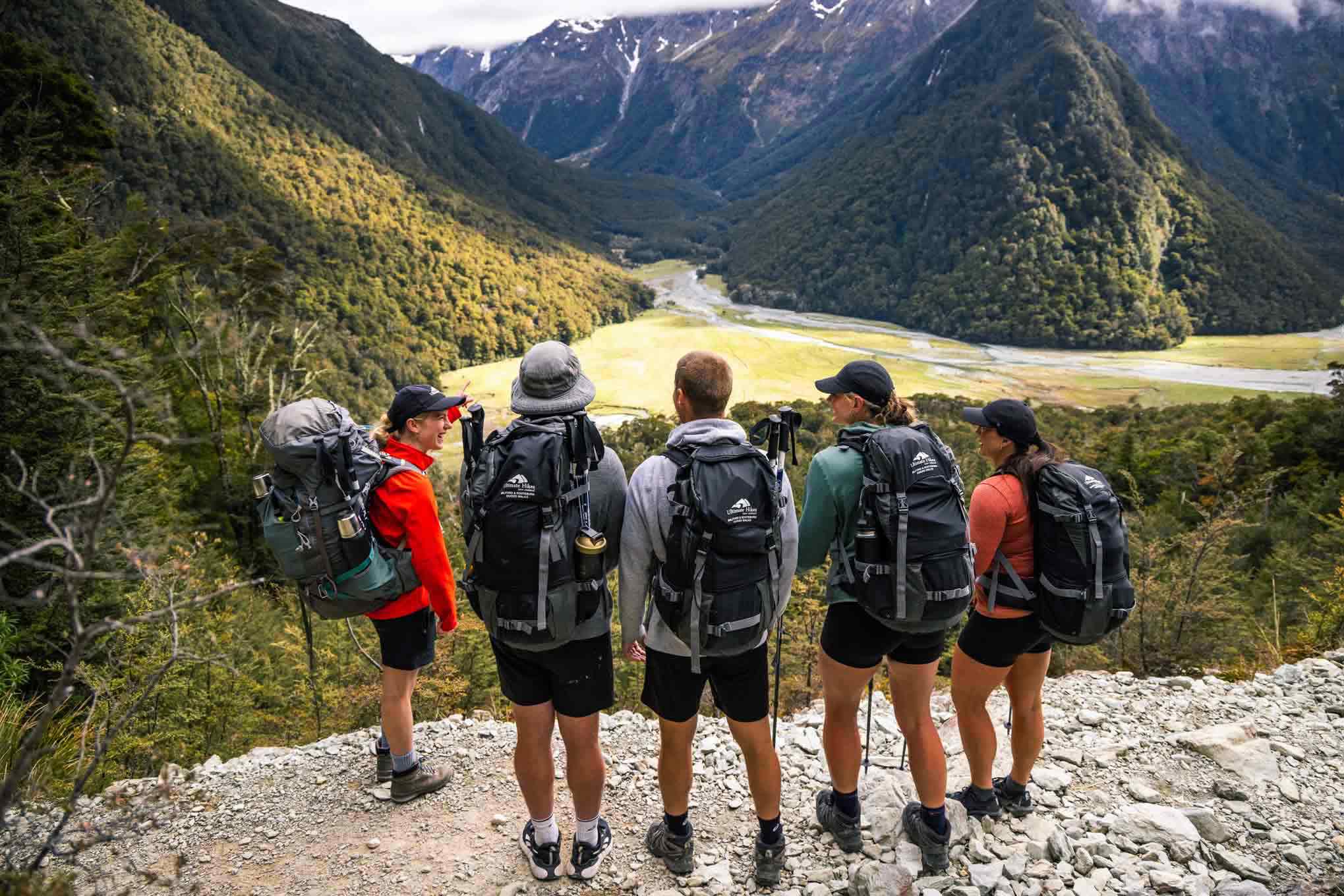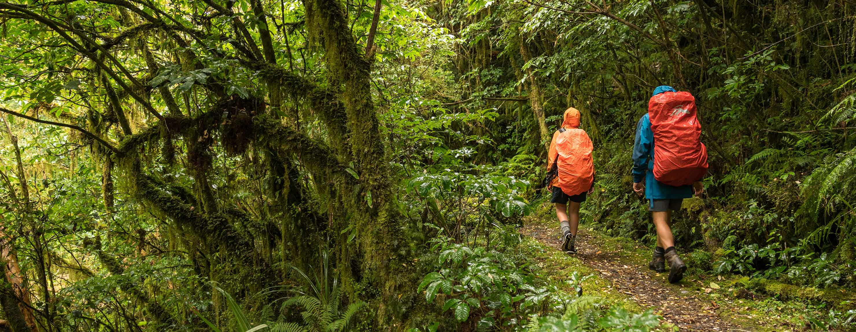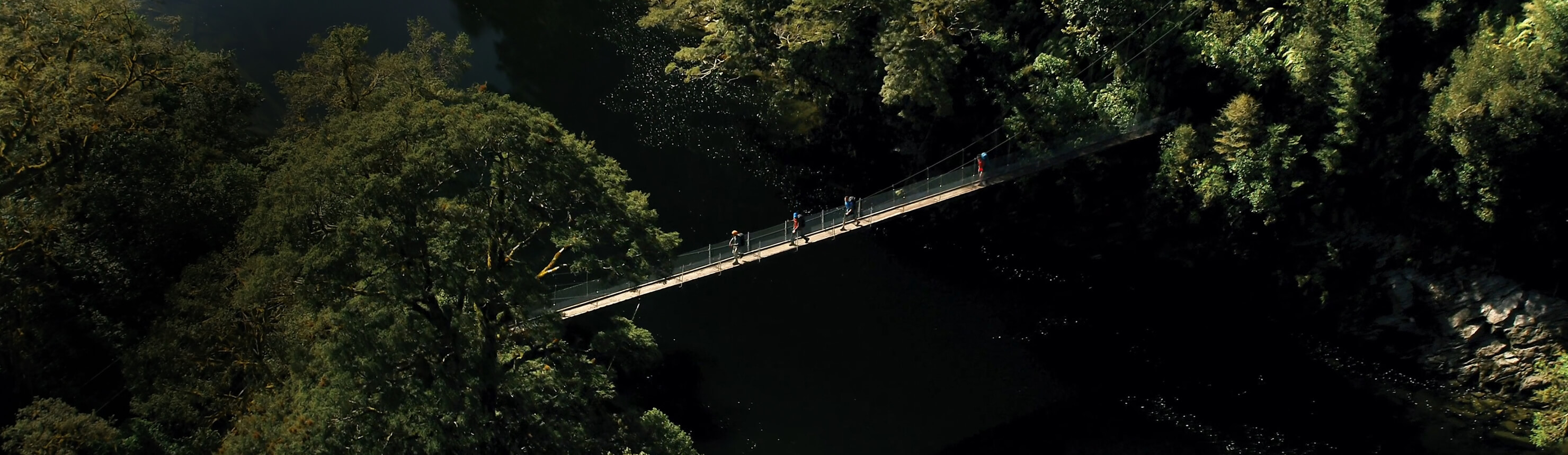
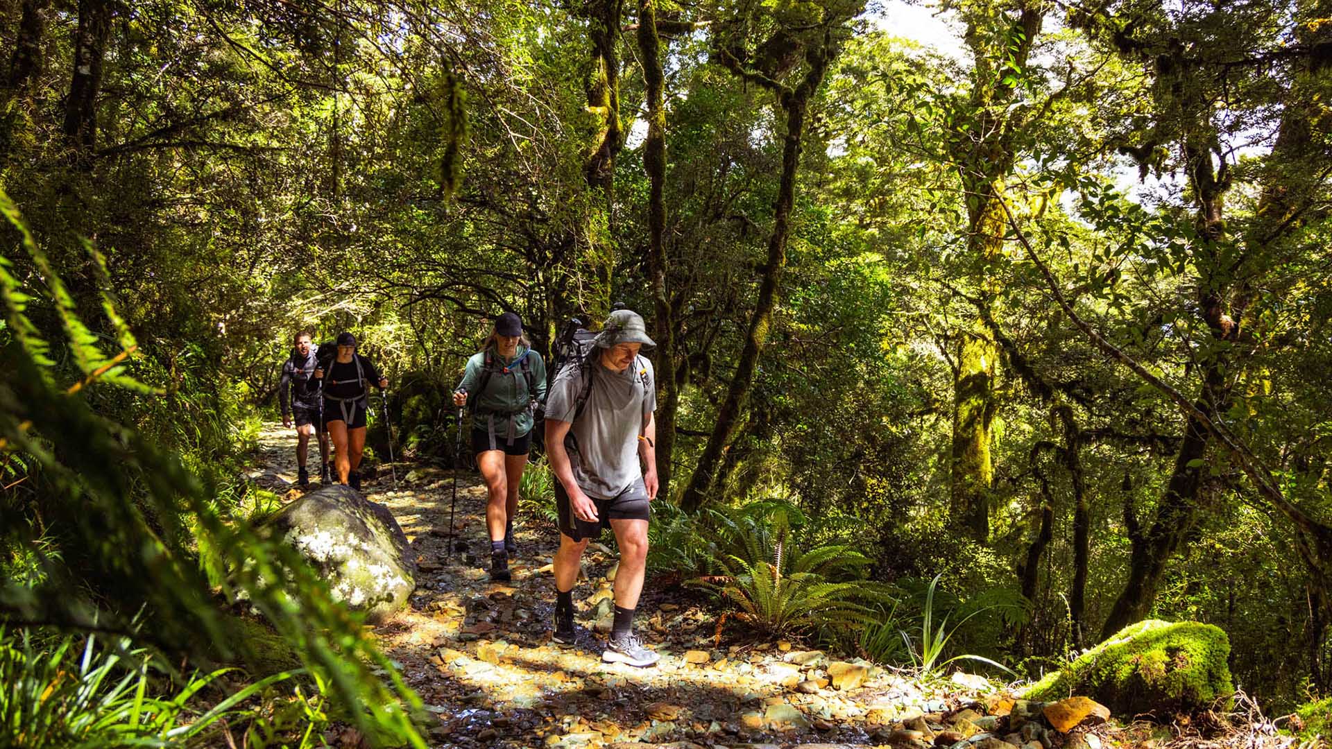
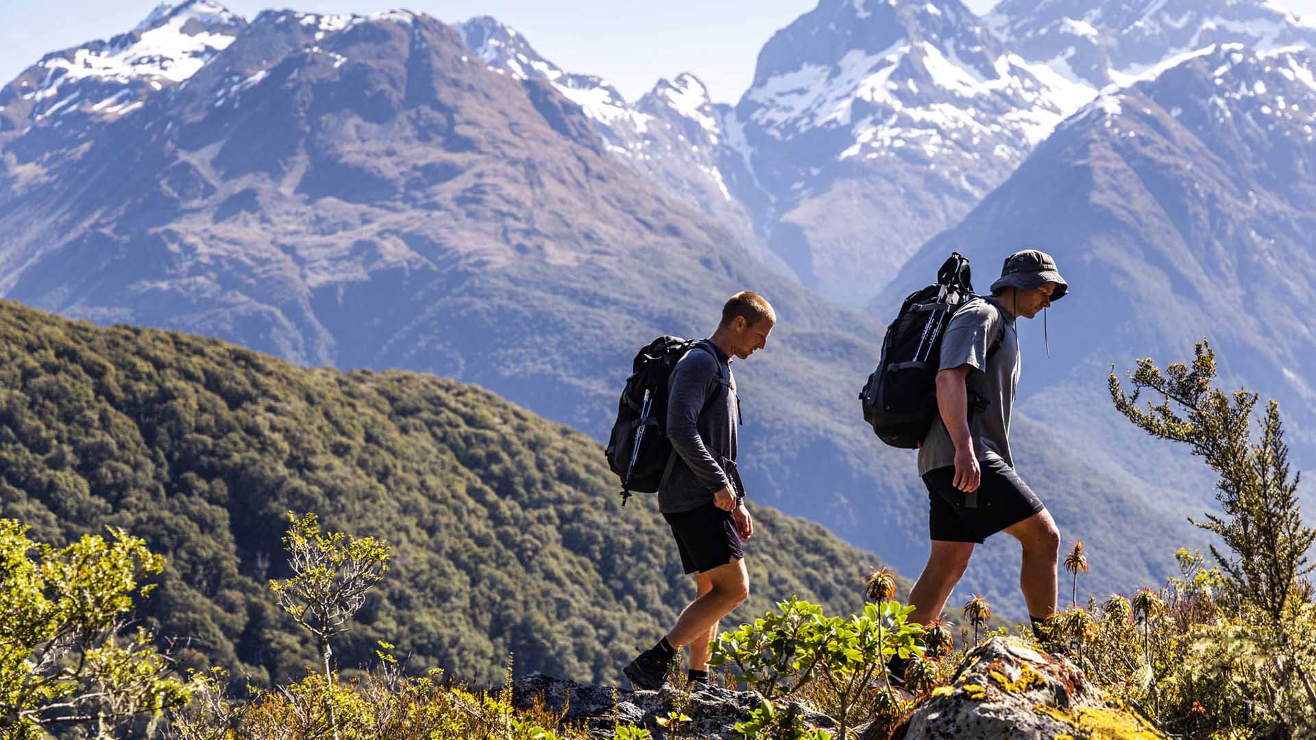
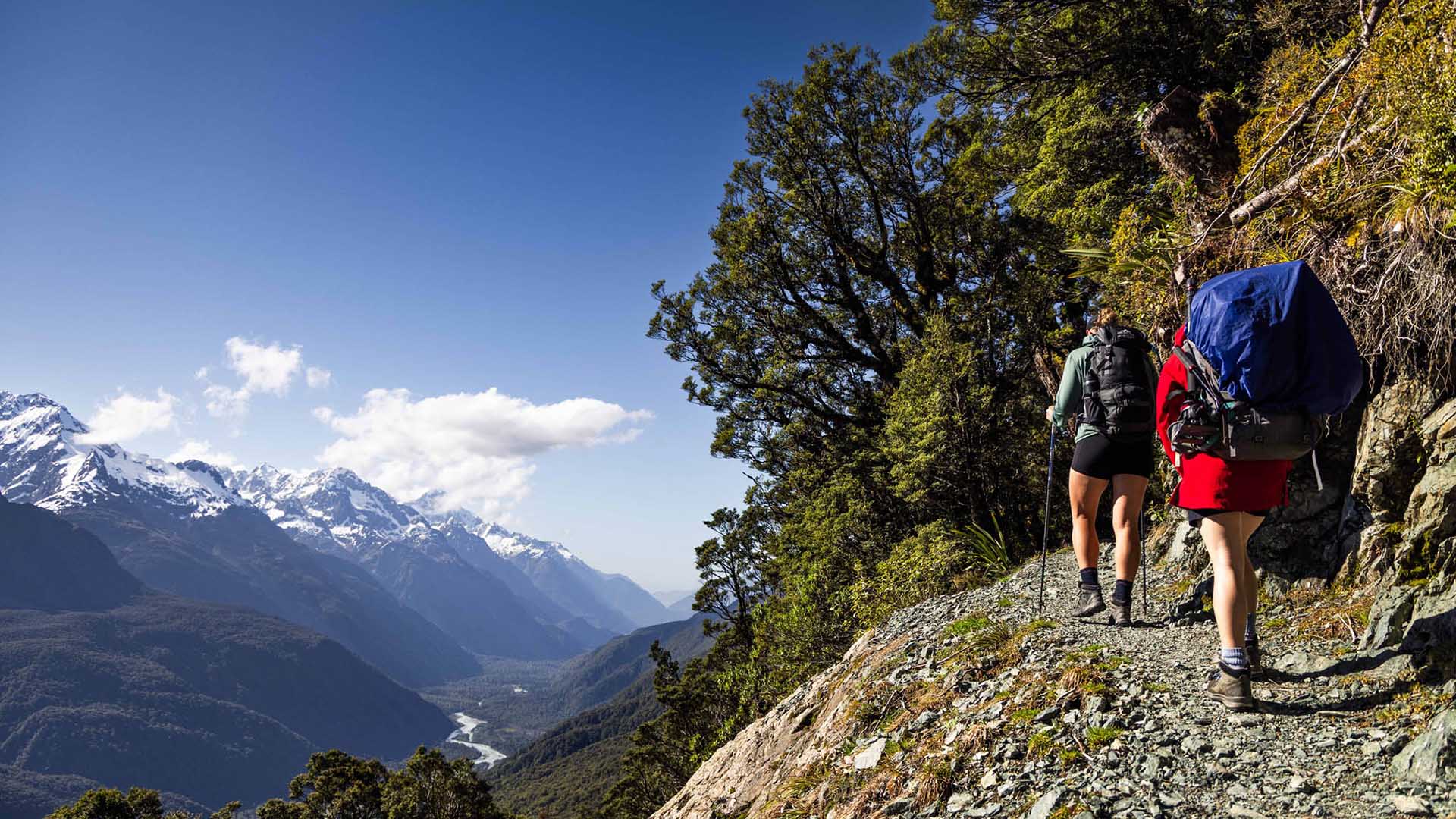
The Routeburn Track is one of New Zealand’s most celebrated Great Walks, weaving through both Fiordland and Mount Aspiring National Parks. This 32 km alpine trail links the dramatic Hollyford Valley with the glacier-carved landscapes near Glenorchy.
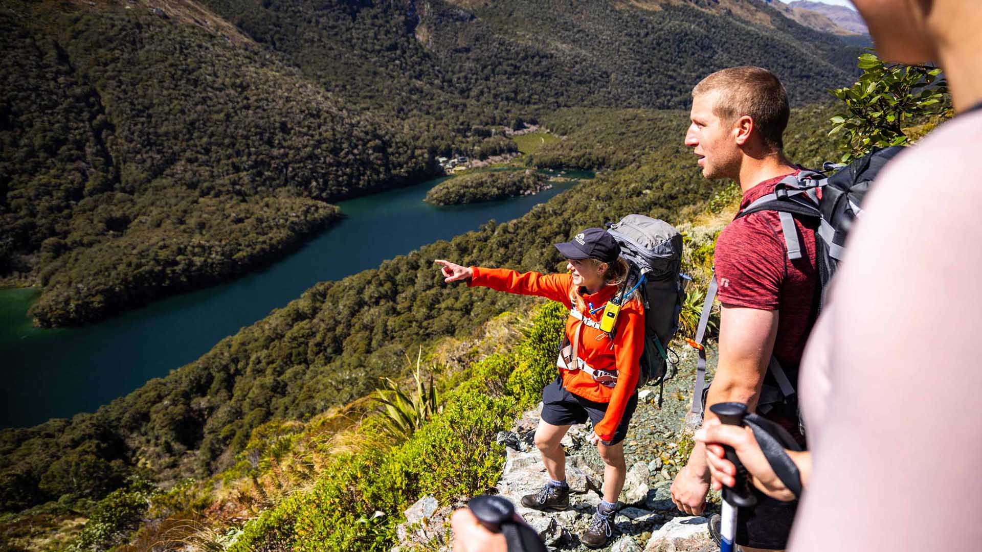
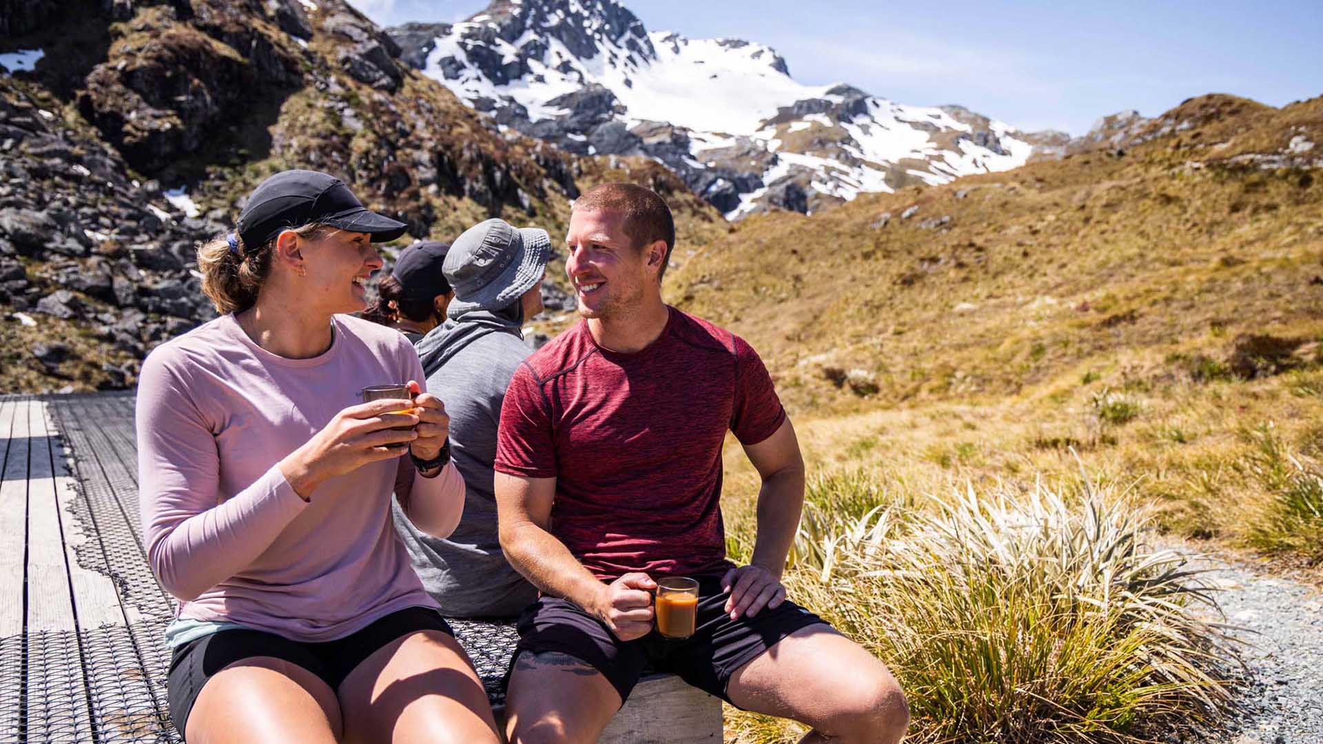
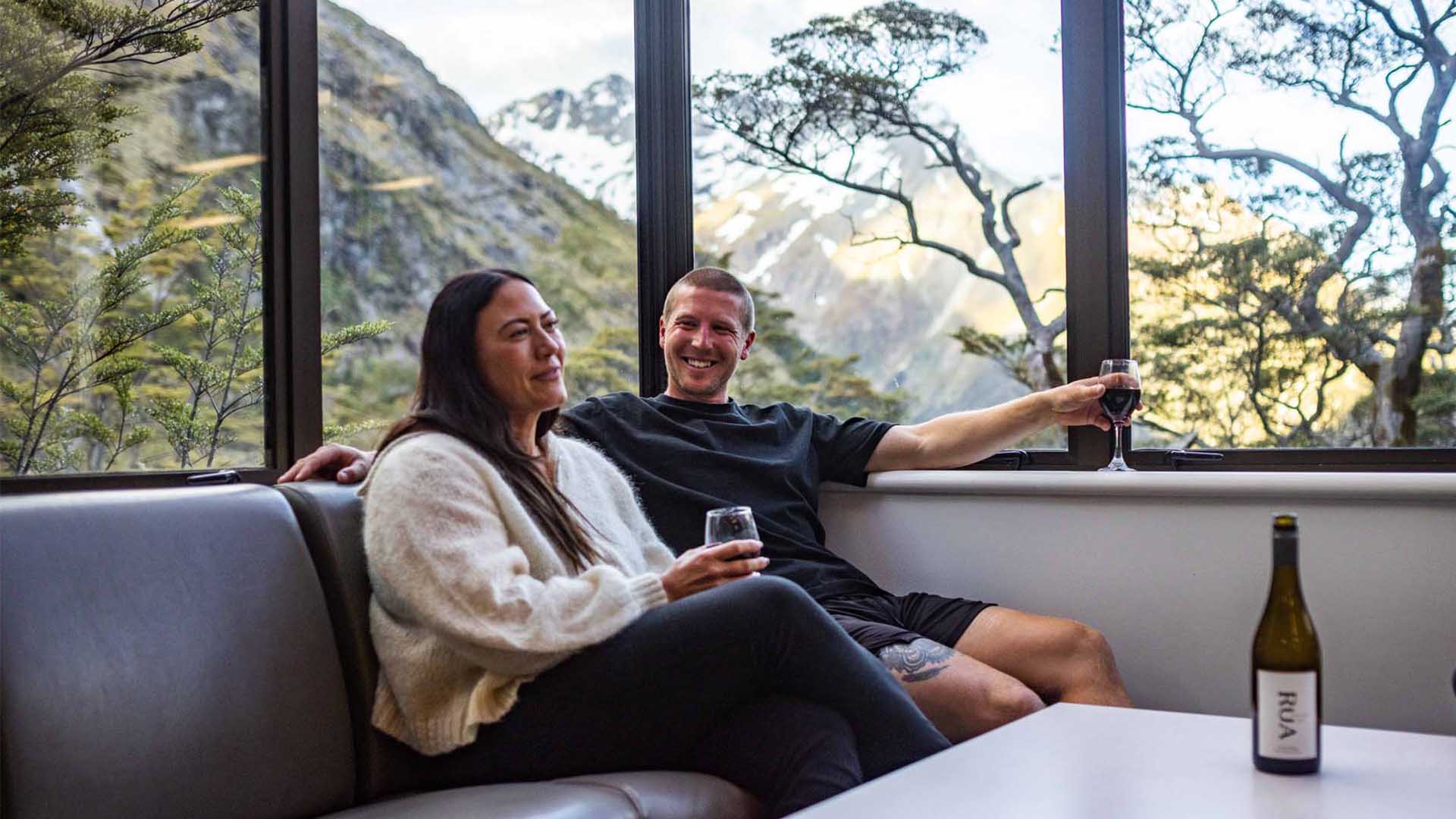
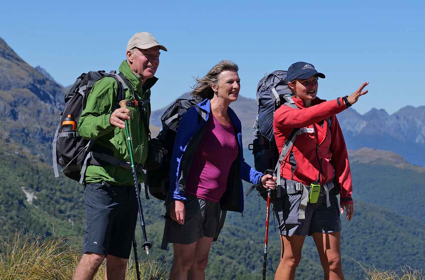
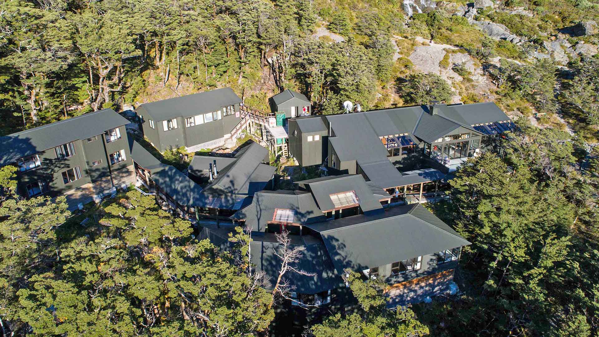
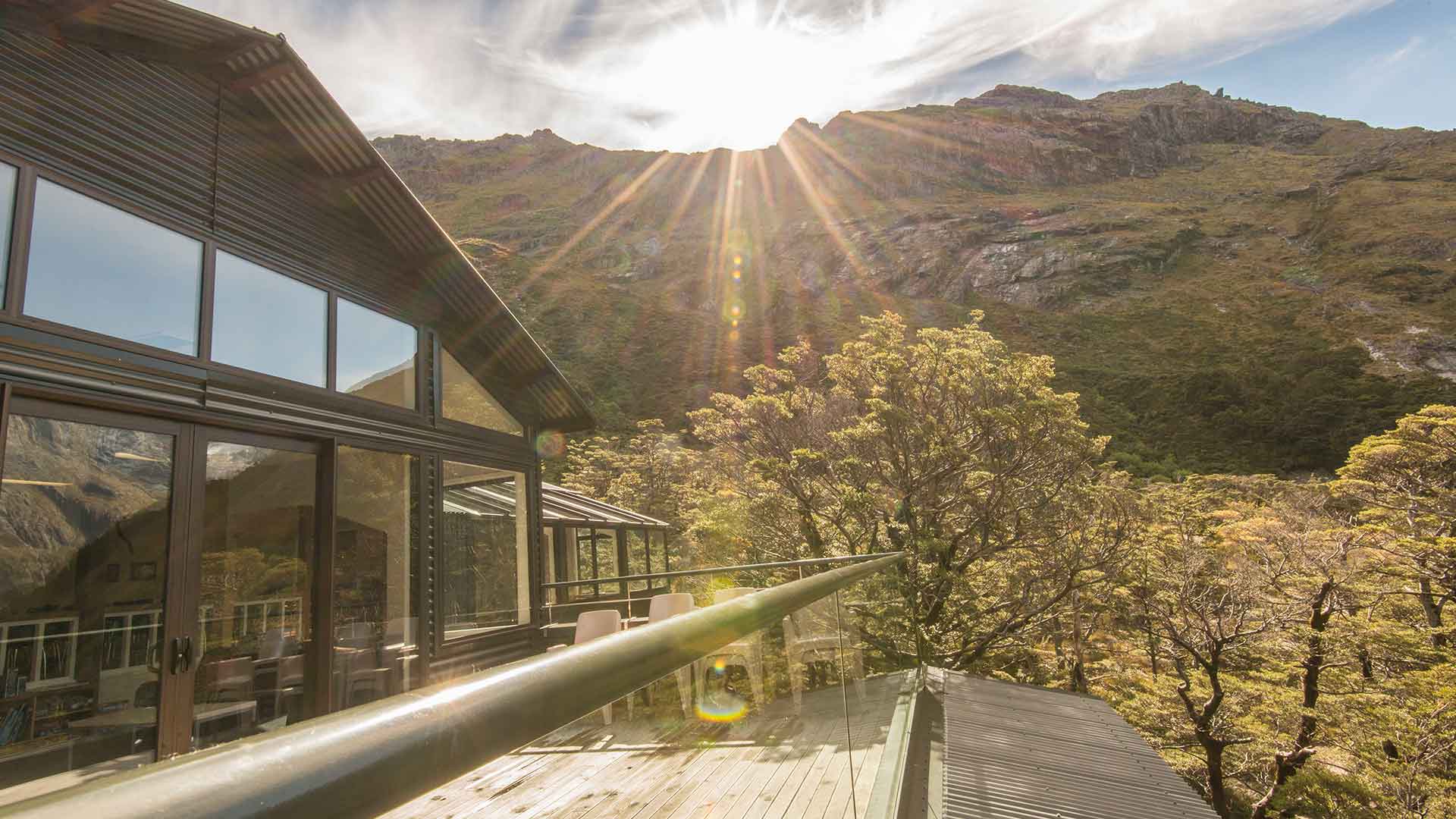
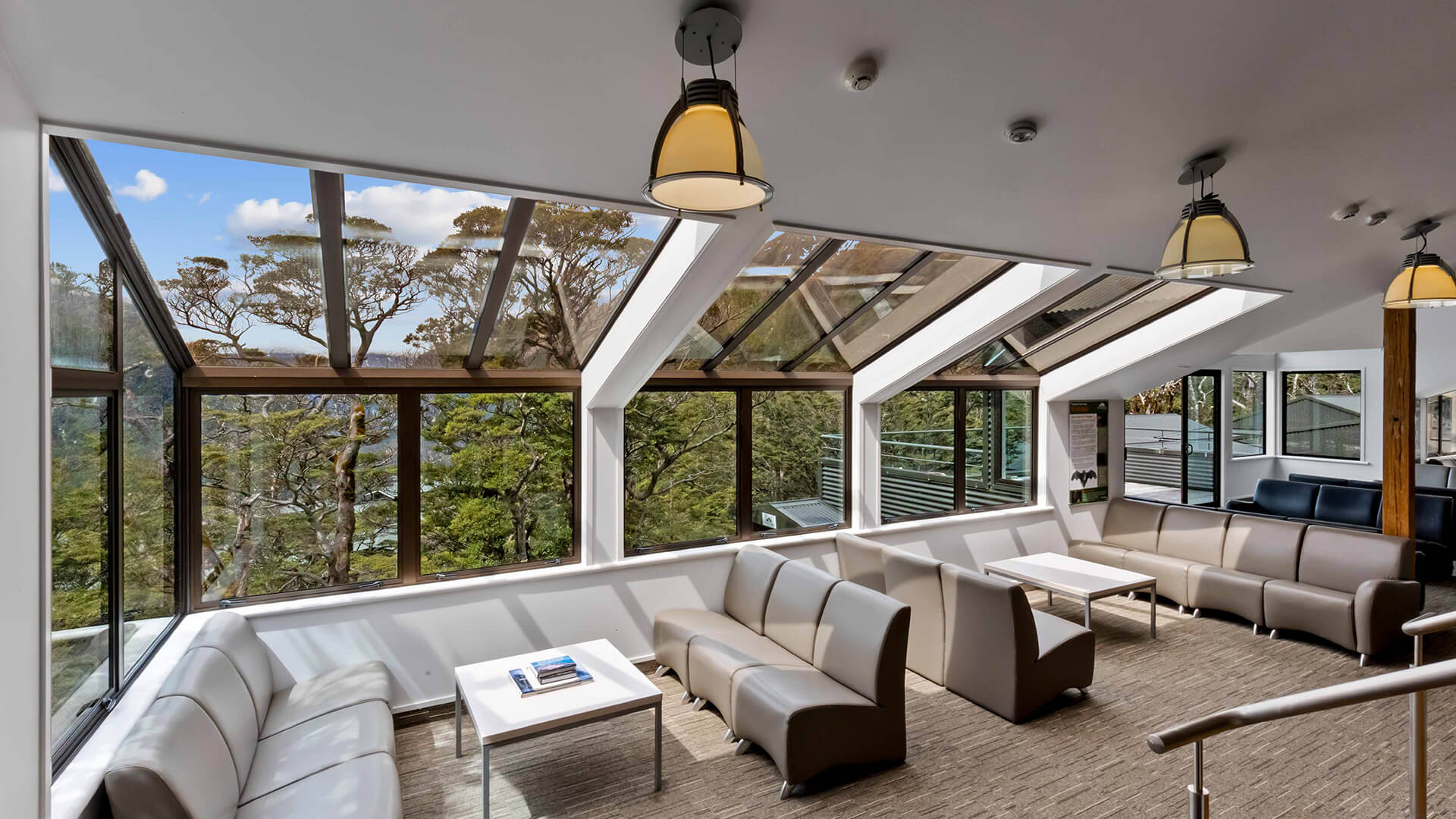
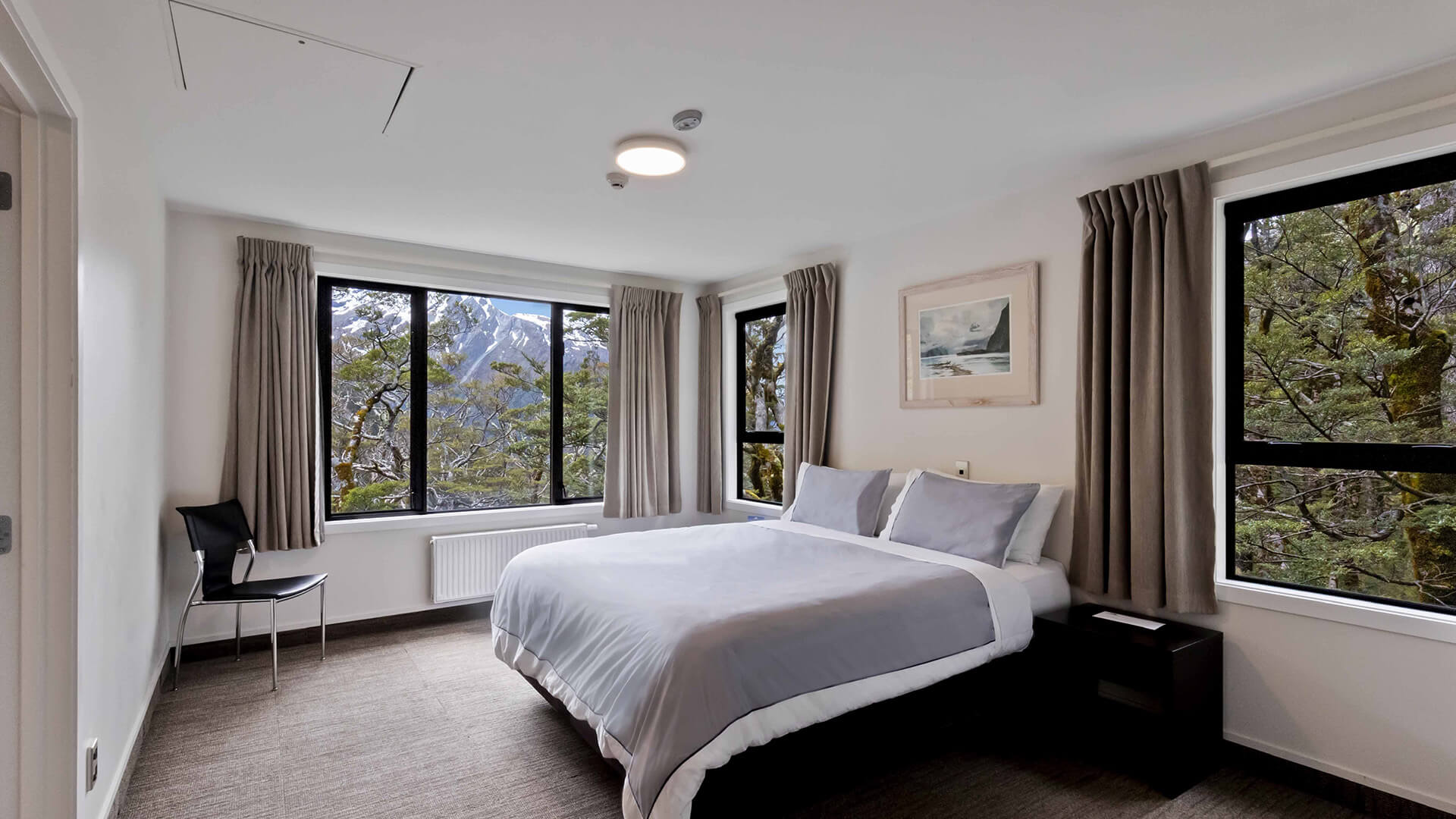
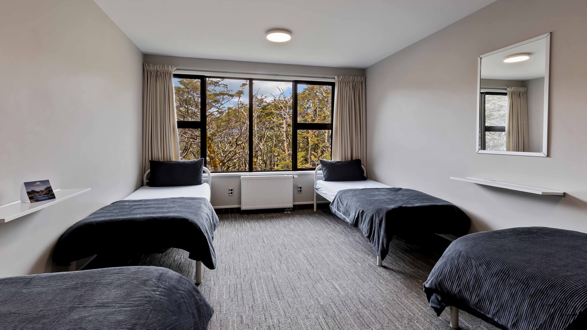
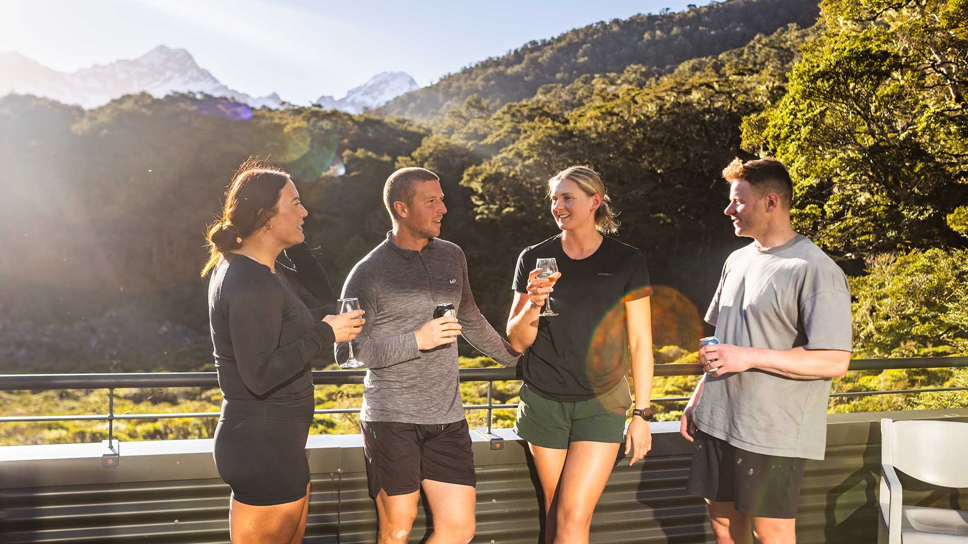
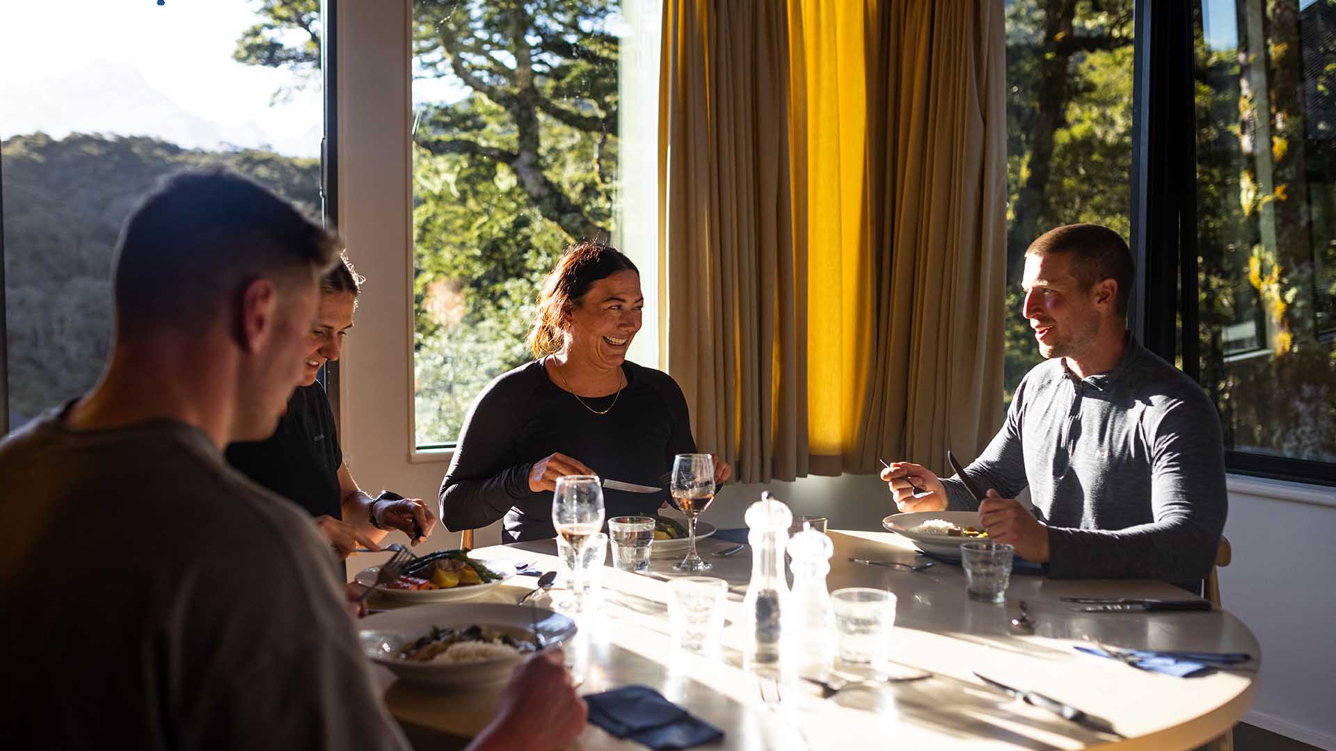
Our 3 day / 2 night guided walk lets you experience the best of the Routeburn with comfort and support, including expert guides, cosy private lodges, and delicious meals throughout.
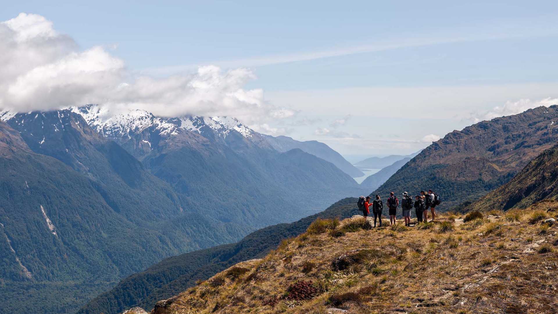
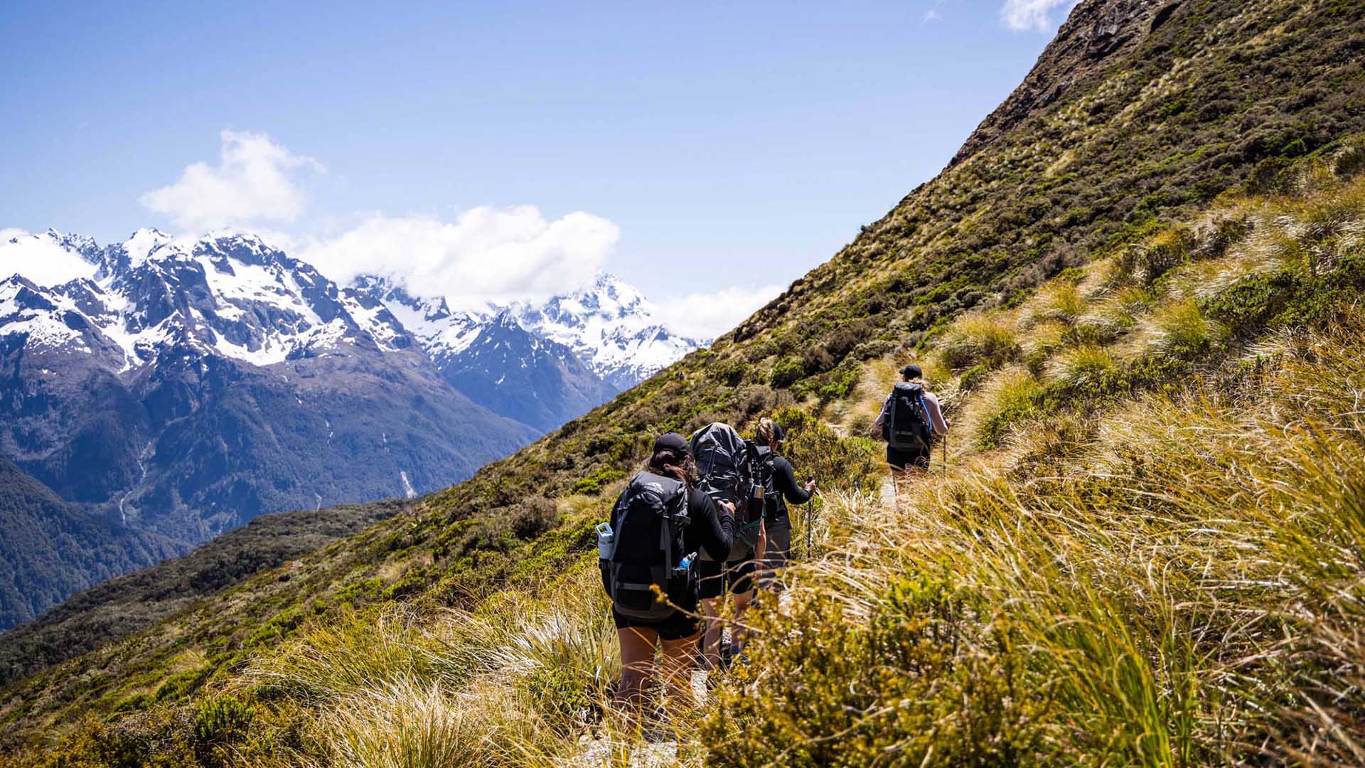
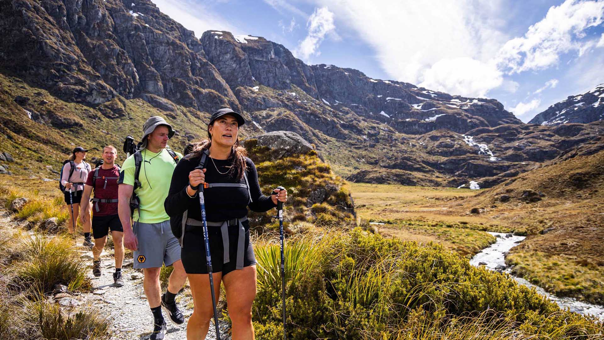
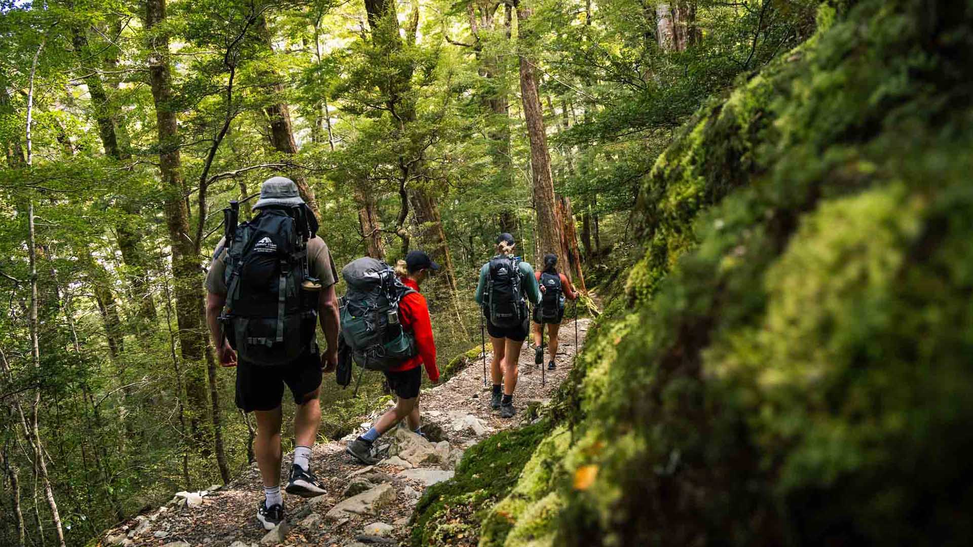
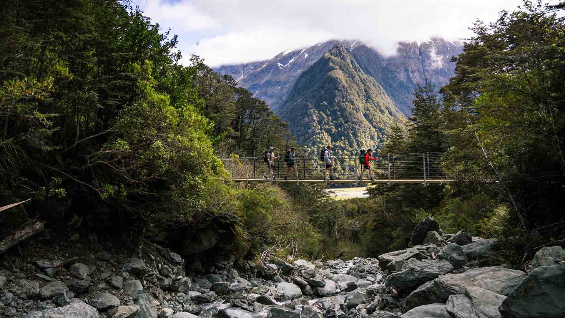
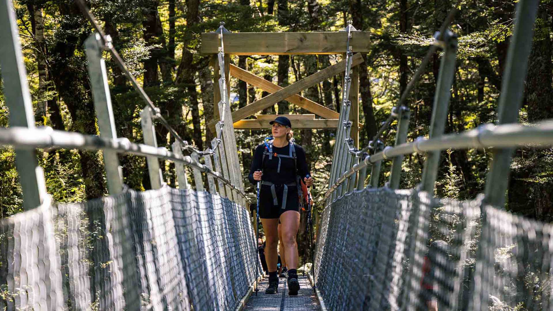
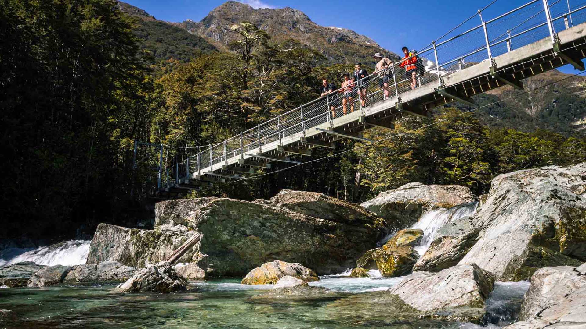
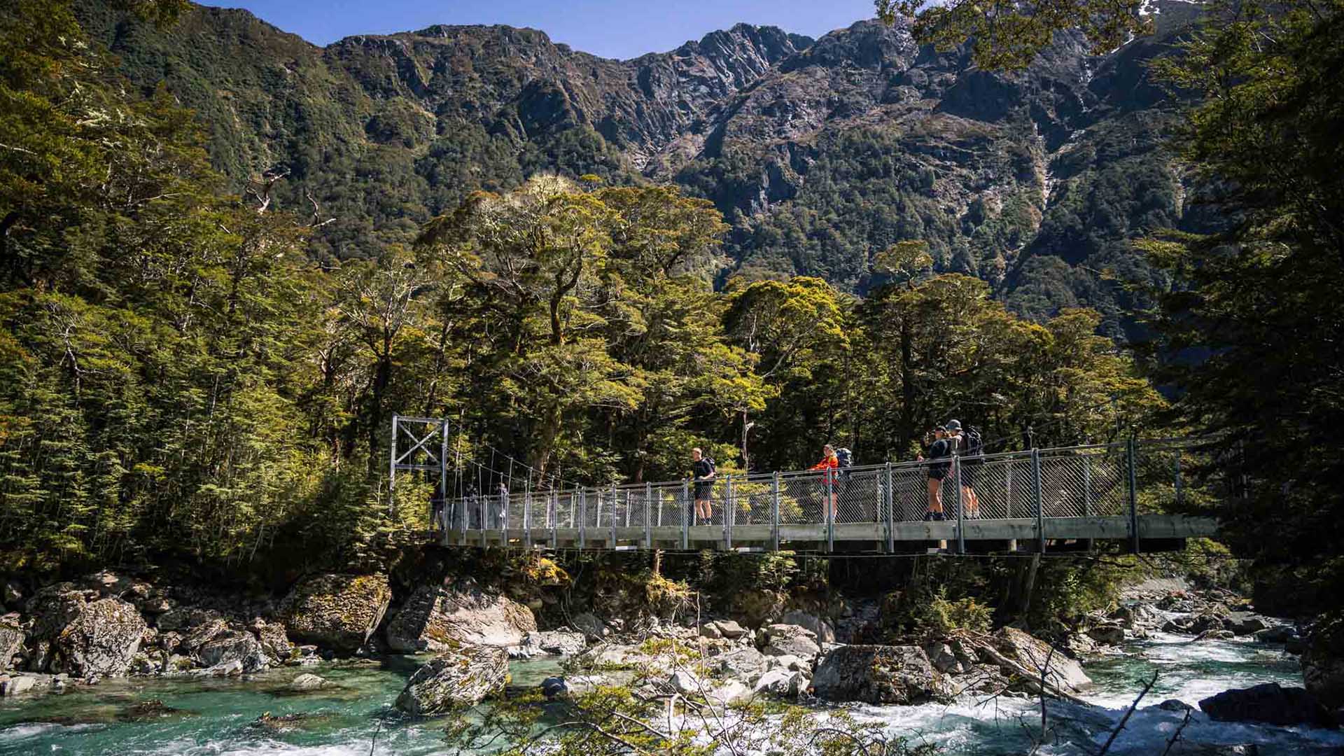
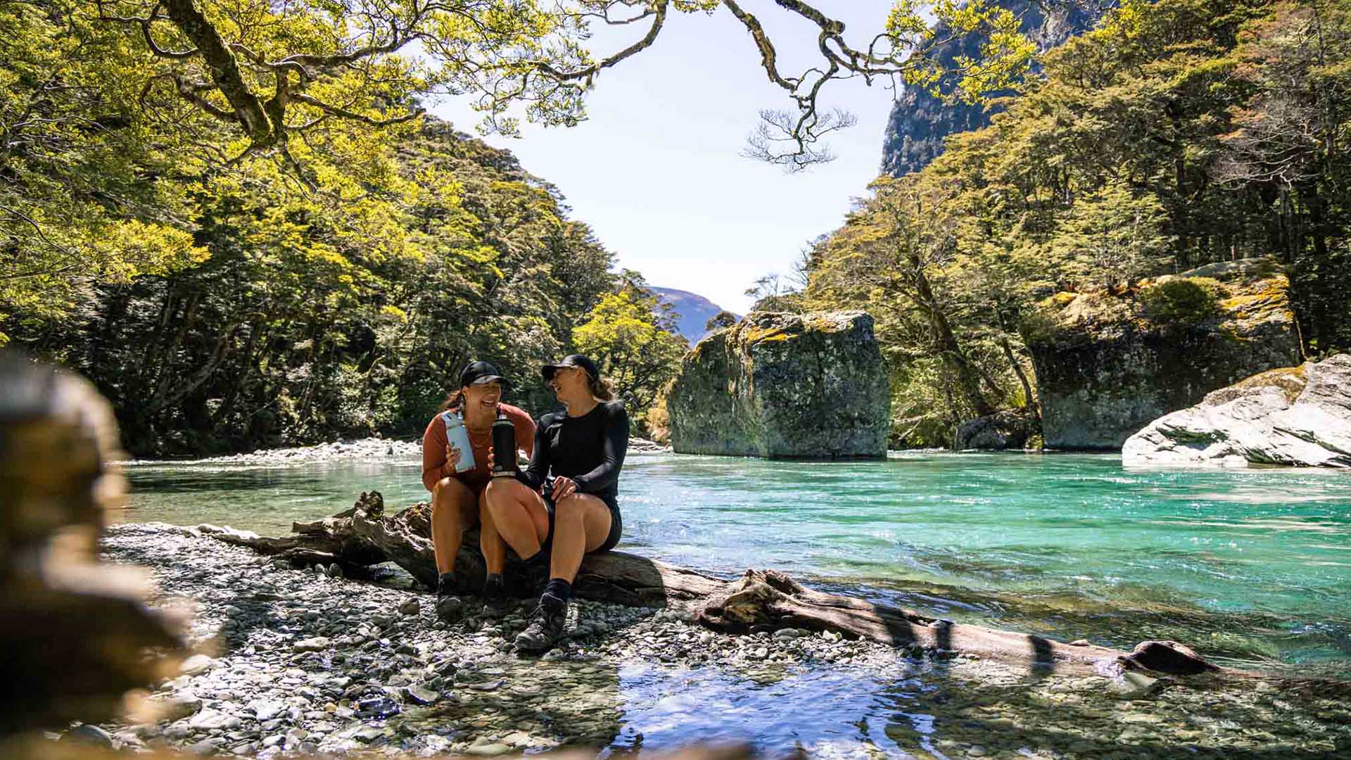
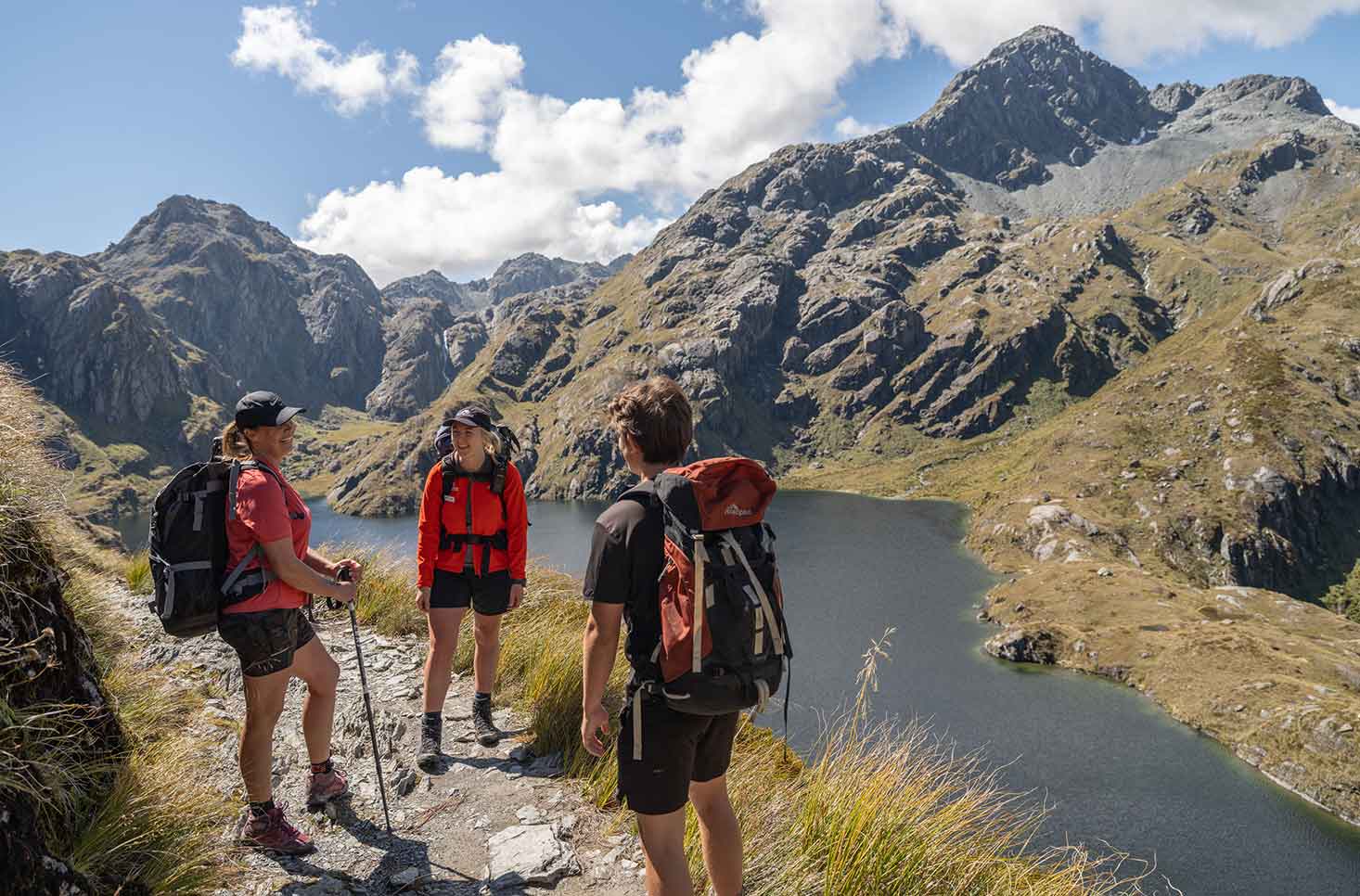
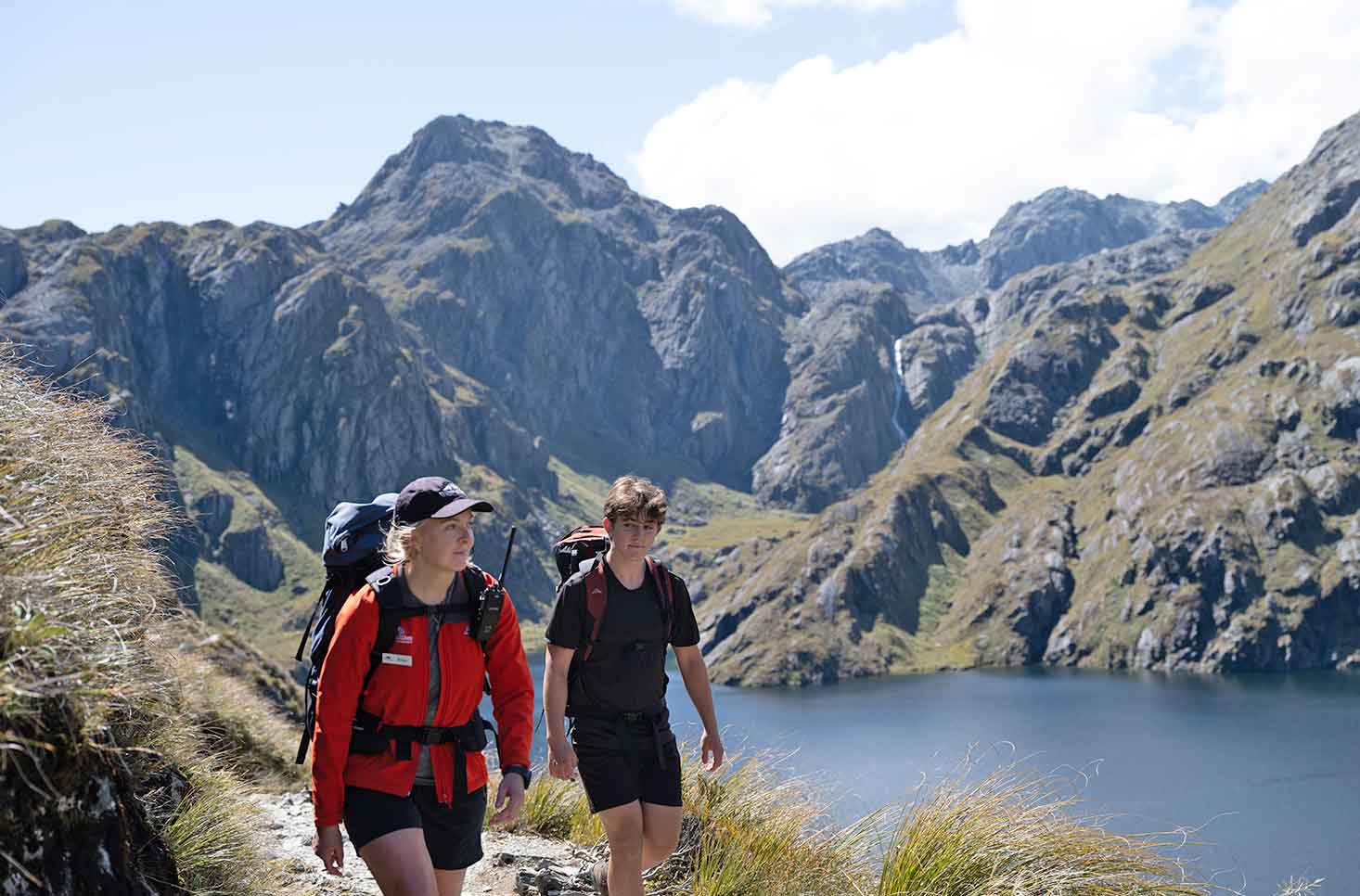
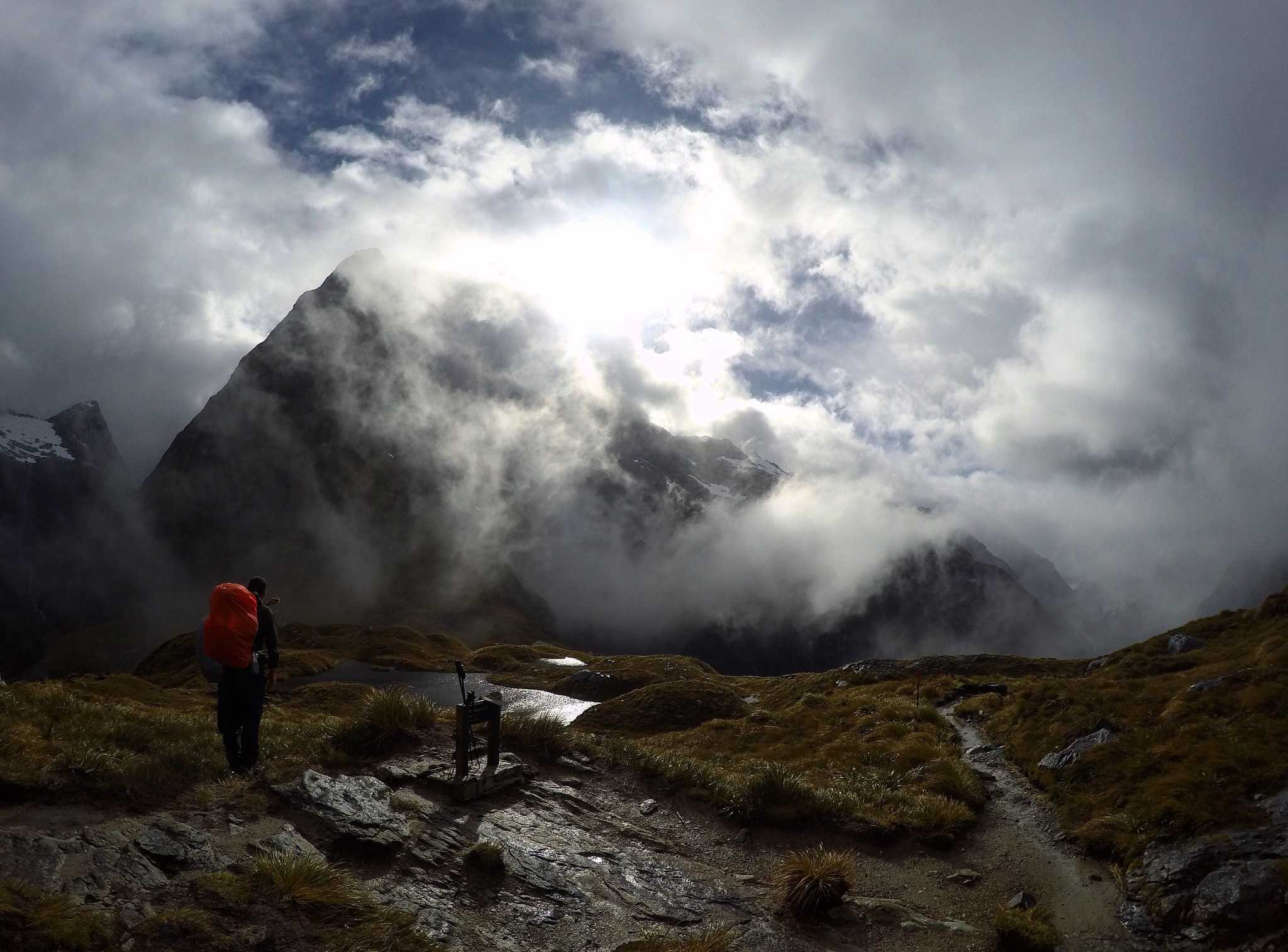
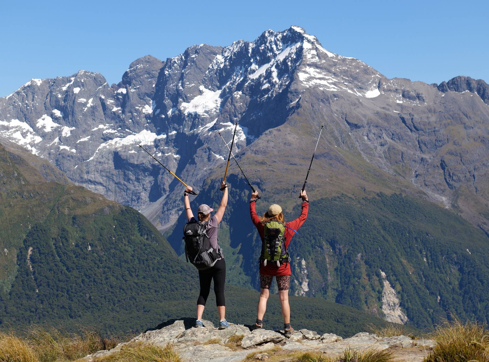
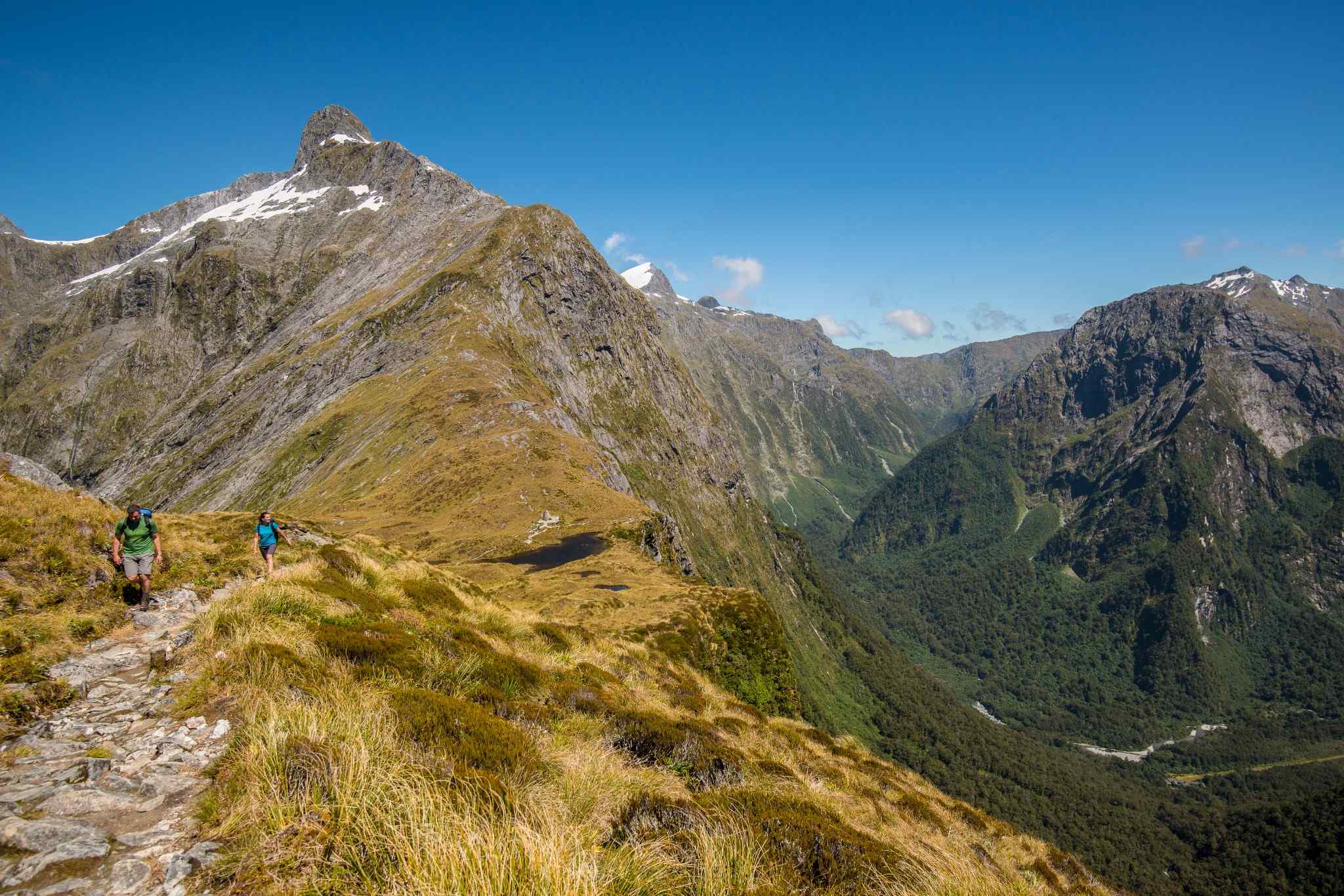
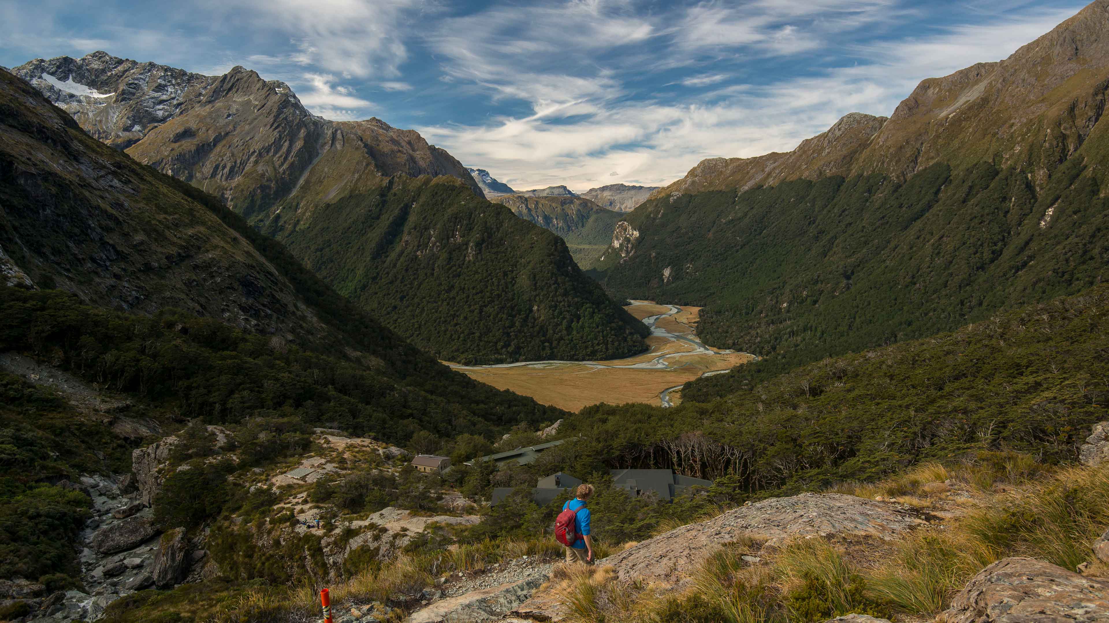
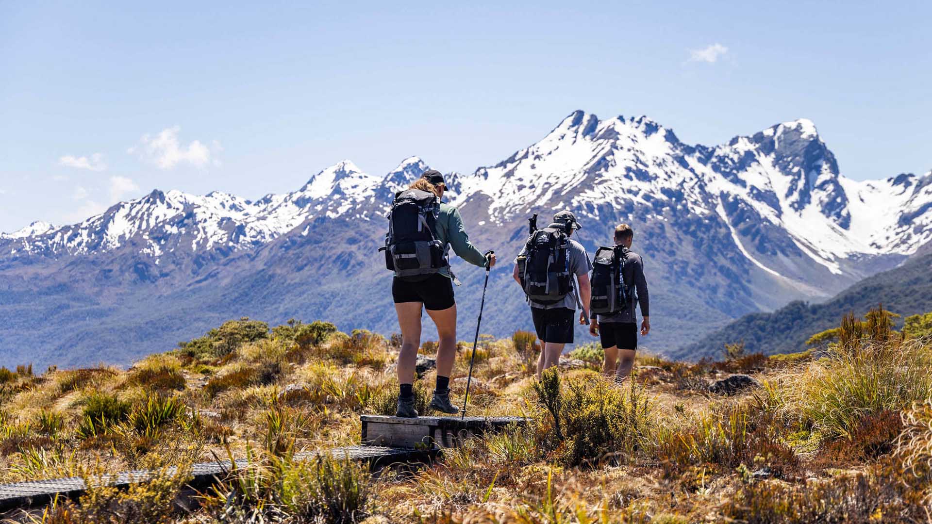
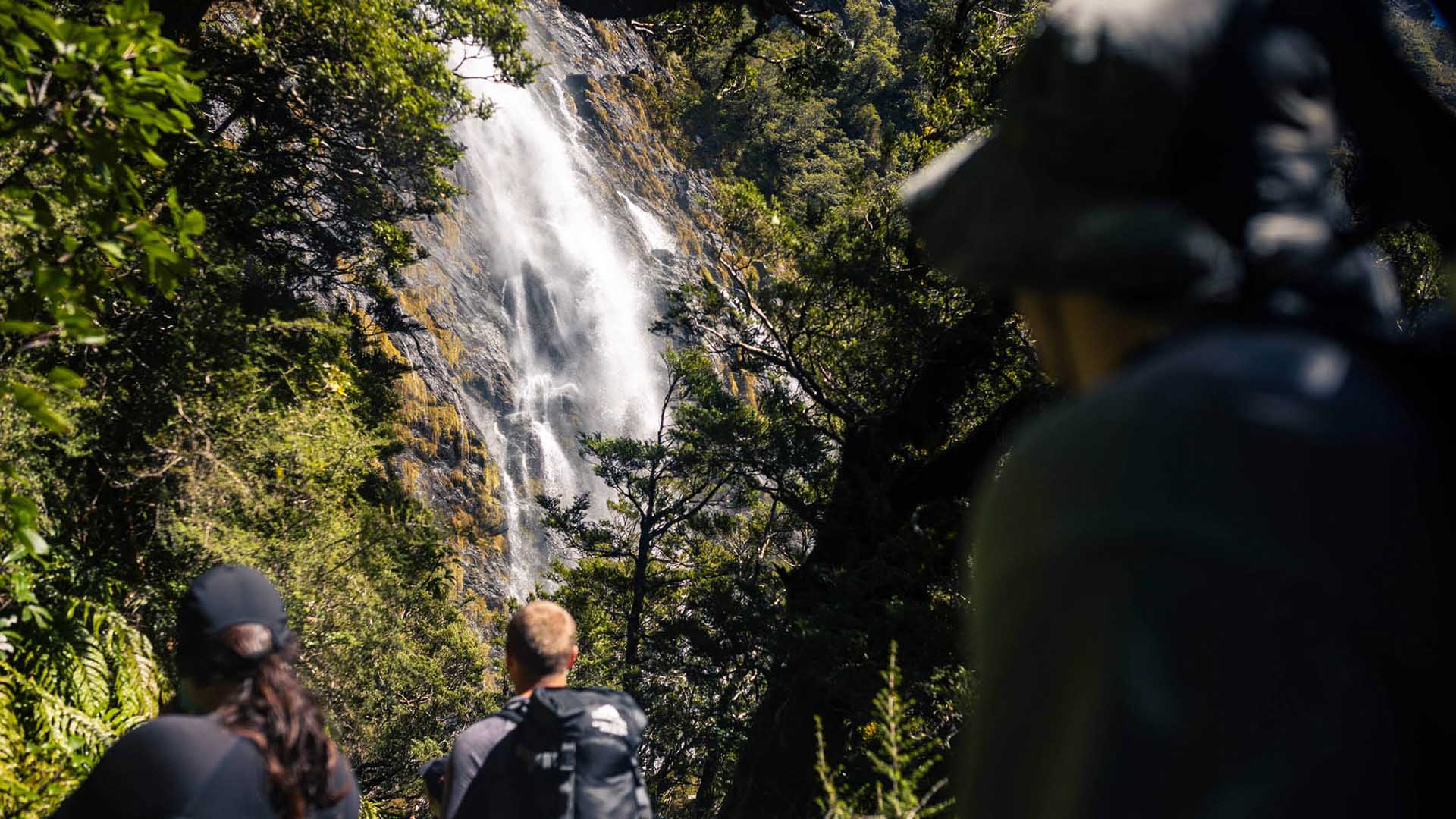
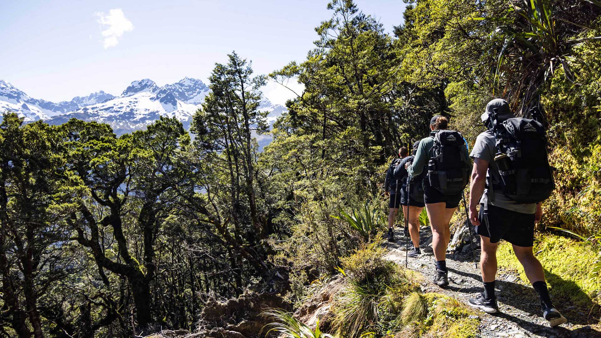
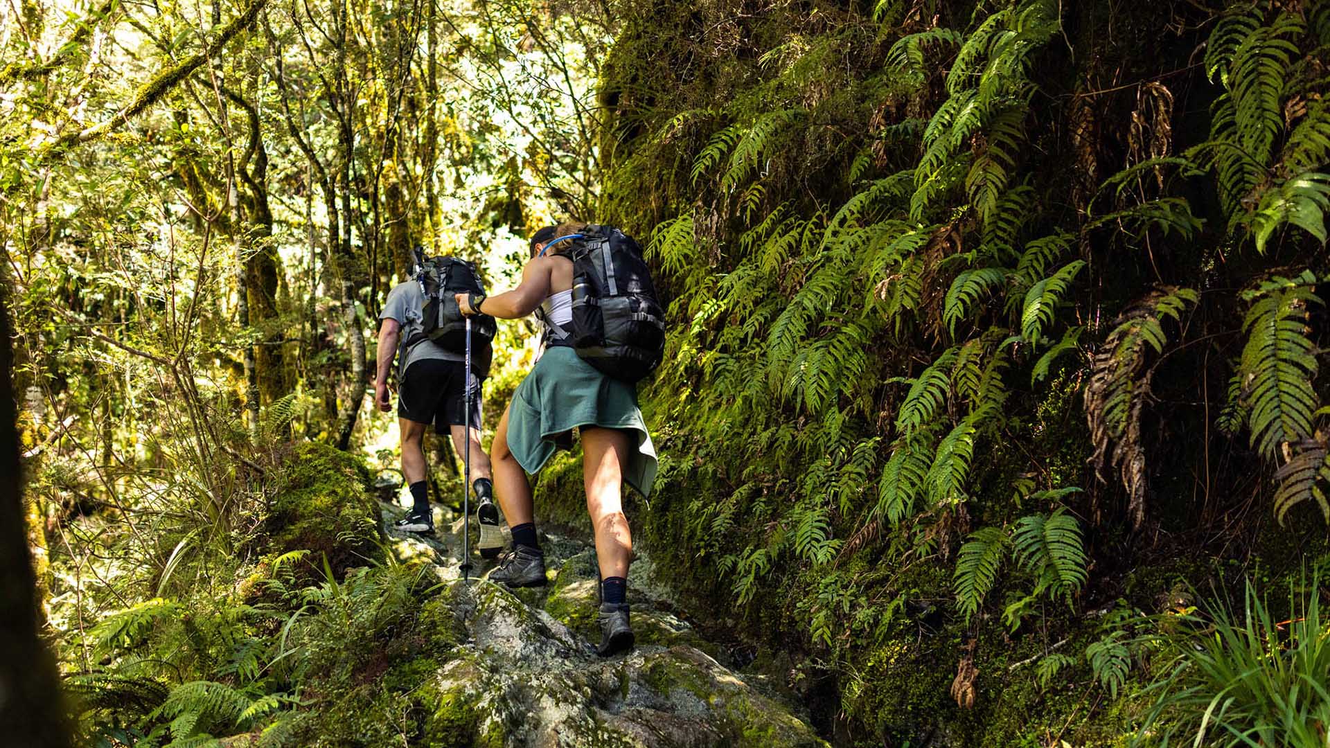
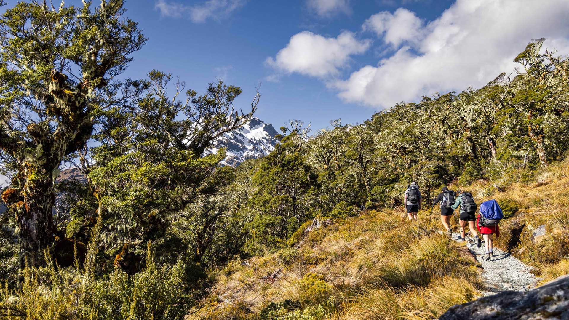
Walk through lush native forest, climb to panoramic alpine passes, and cross crystal-clear rivers. The views are ever-changing, from hanging valleys and waterfalls to snow-capped peaks stretching out toward the Tasman Sea.
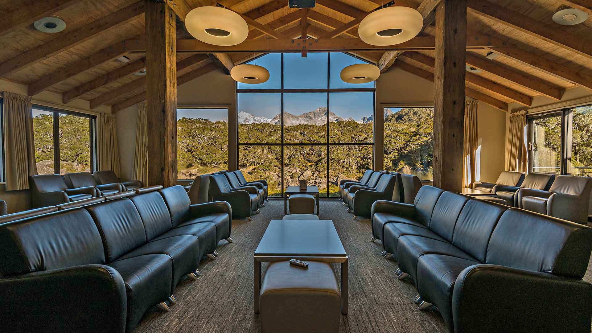
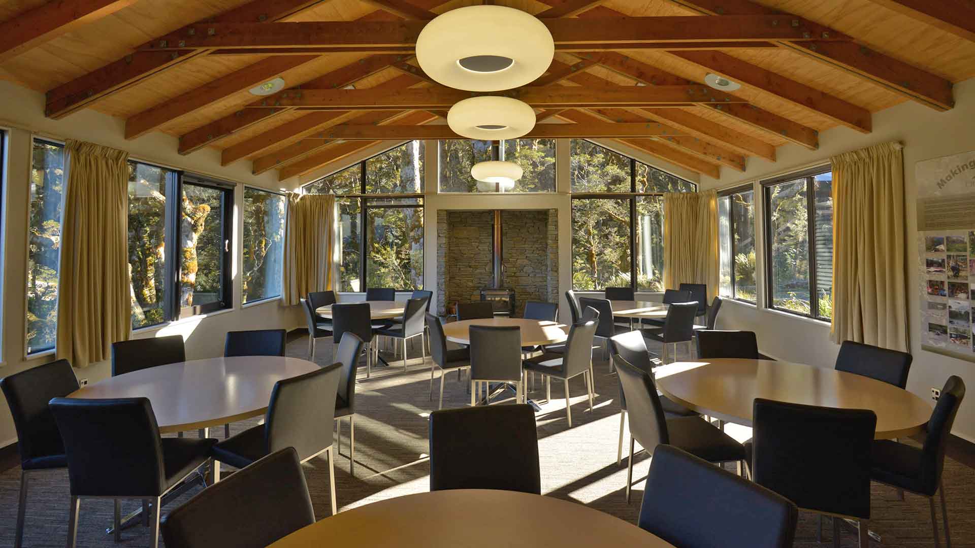
At the end of each day, unwind in our lodges with a hot shower, a hearty dinner, and a drink from the bar. The track has its challenges, but the rewards are unforgettable. Keep an eye out for native birds like kea, ruru (morepork), and the rare whio (blue duck).

.jpg)